
The Region Alpujarra


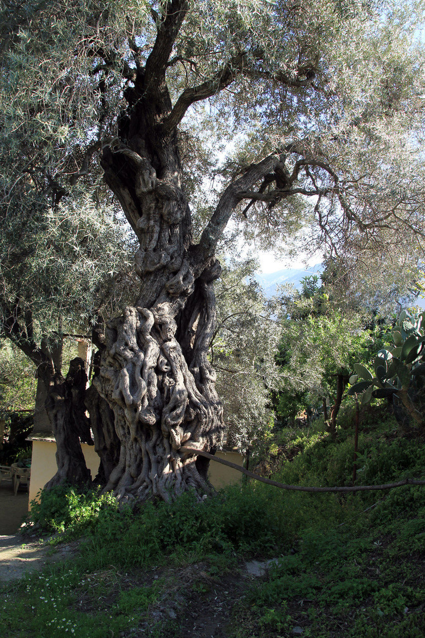
The Nature in Alpujarra
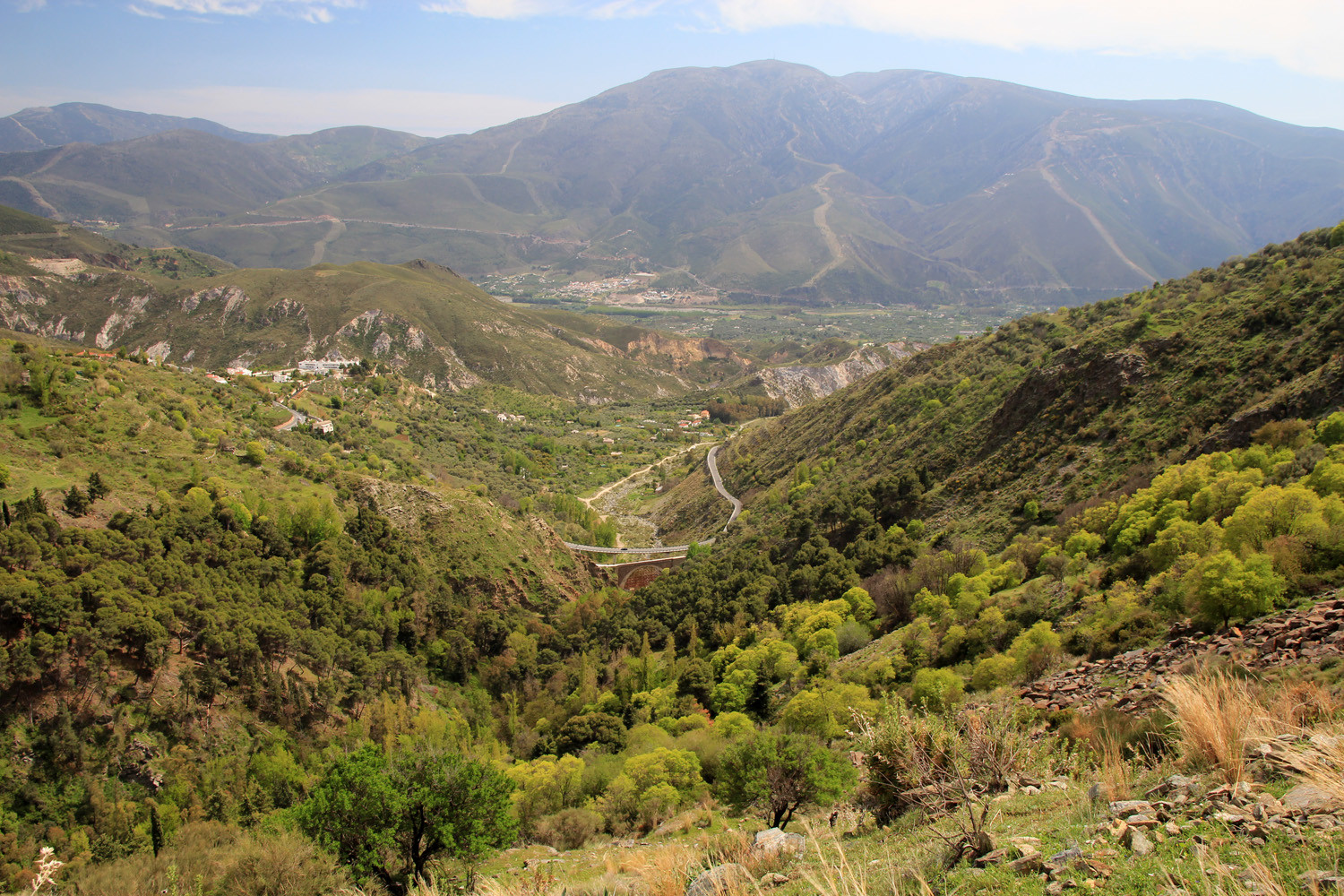
The higher Alpujarra is for a great part situated in the National & and Natural Park Sierra Nevada. So in order to enjoy the beauty of these mountains you have a lot of oppurtunities. The following villages are situated insdie the Natural Park: Lanjáron, Cañar, Soportújar, Bubión, Pampaneira, Capileira, Pórtugos, Busquistar, Trevélez, Juviles, Bérchules, Alpujarra de la Sierra, Válor and Nevada. The lower Alpujarra is situated between the Sierra Nevada and the coast and is formed by the mountain range La Contraviesa. Both mountains are offering the tourist marked hiking and mountain biking trails. It is even possible to discover the nature by horse and traveling from village to village or crossing the Sierra Nevada from North to South by its highest peak Mulhalcen.


The History of Alpujarra
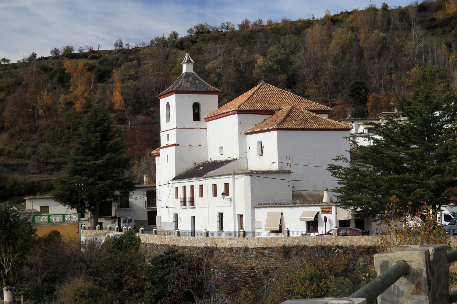
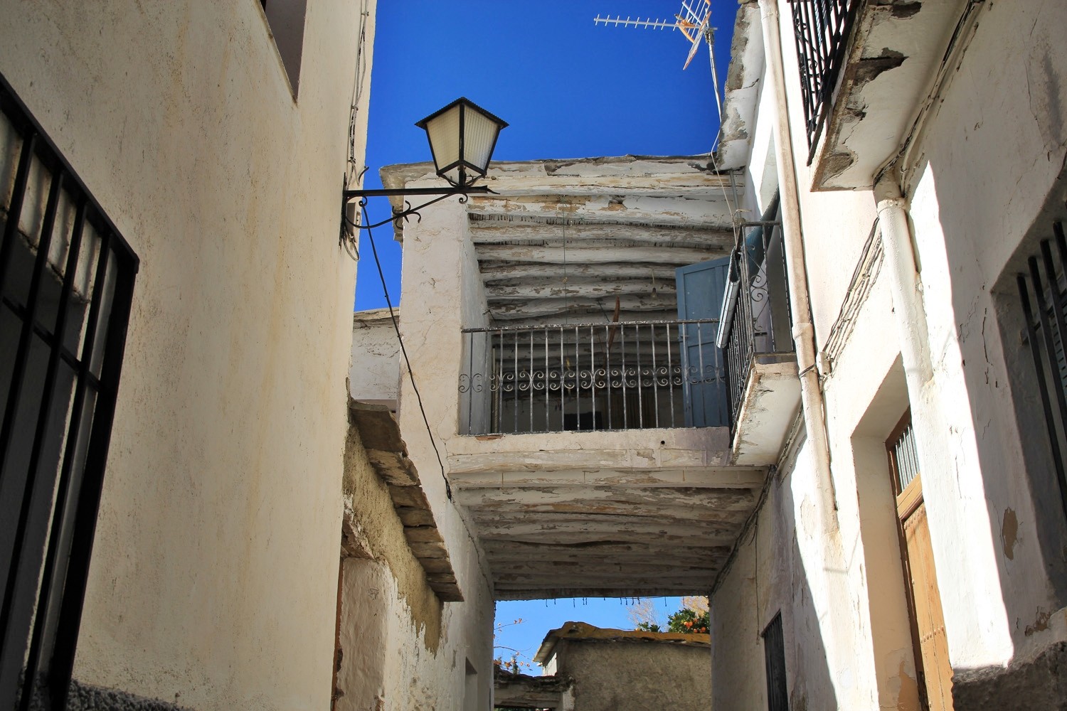
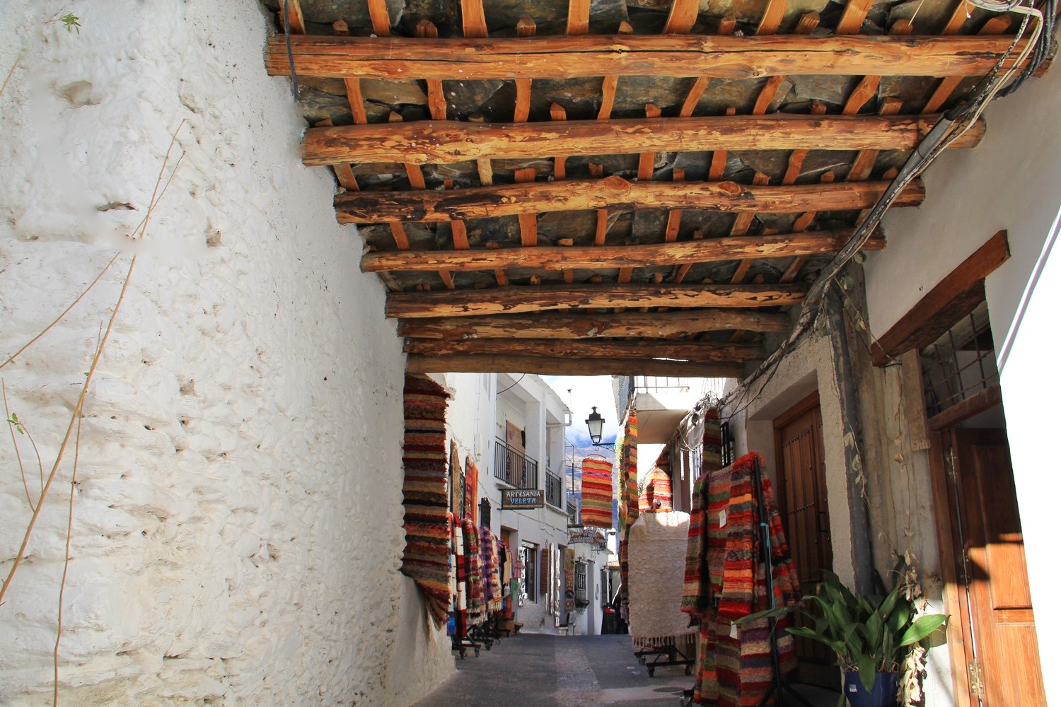
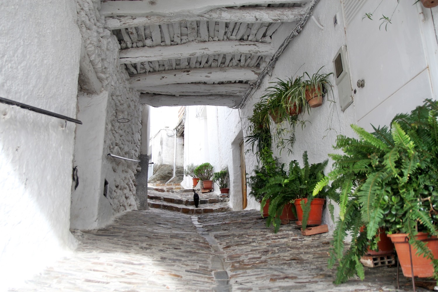
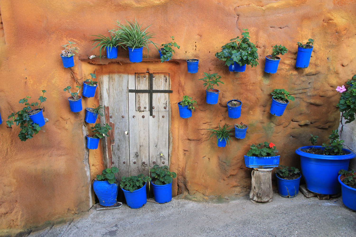
This region was inhabited by Phoenicians and Romans, but the eight centuries of Arab domination gave them its peculiar architecture, its water irrigation system, its "tinao´s", its cuisine and even its name. It was isolated and had difficult access for centuries, but now there are two good access roads although with a lot of curves. The steep land has kept itself nearly untouched and many villages are open air museums. A lot of houses are uninhabited, because the people left in search for work. The last years foreigners are buying these houses and renovate them in order to enjoy them for their holidays.
These villages have marvelled everybody with their charm. Pedro Antonio de Alarcón dedicated them his first travel book in Spanish and Gerald Brennan told us about its excellences in Al sur de Granada. For Federico García Lorca it was “the country of nowhere”. The dances and the songs are an important part of a rich folklore and an ancestral tradition. The Moors and Christians fiestas are celebrated in a large number of places, but one of the most original manifestations of the district are the Trovos from La Alpujarra. In these Trovos, the two troveros sing in turns improvising the response according to what the other has sung. (Source: Patronato Provincial de Turismo de Granada).
Histórico Area of la Alpujarra Media y La Taha
The Historic Site covers a total area of 143 km2 in the central area of the region of the Alpujarra of Granada. It spreads primarily by the municipalities of La Taha, Pórtugos, Busquístar, Cástaras, Juviles, Lobras, Bérchules, Cádiar, Almegíjar and Torvizcón, but also affecting more or less extensively Trevelez, Murtas, Albondón, Rubite, Polopos, Orgiva, Turón, Bubión and Capileira. It consists of 32 areas or declared BIC (Cultural Property) elements, with a total area of 711 ha, and a wide area of environment protection, covering 13,574 ha.
The Climate (Orgíva 461 m)
The climate is warm and temperate in Órgiva. The rain in Órgiva falls mostly in the winter, with relatively little rain in the summer. This location is classified as Csa by Köppen and Geiger.The average annual temperature is 16.6 °C. In a year, the average rainfall is 358 mm. The driest month is July, with 3 mm of rainfall. In December, the precipitation reaches its peak, with an average of 50 mm. The warmest month of the year is August, with an average temperature of 25.2 °C. At 9.2 °C on average, January is the coldest month of the year. (Source: Climate-Data.org)
The Climate (Trevélez 1476 m)
The climate is warm and temperate in Trevélez. In winter, there is much more rainfall than in summer. This climate is considered to be Csb according to the Köppen-Geiger climate classification. The average annual temperature is 11.4 °C. About 628 mm of precipitation falls annually. The driest month is July, with 12 mm of rainfall. Most precipitation falls in March, with an average of 77 mm. The warmest month of the year is July, with an average temperature of 21.7 °C. In January, the average temperature is 3.4 °C. It is the lowest average temperature of the whole year. (Source: Climate-Data.org)
The Gastronomy of the Alpujarra
The Alpujarreña cuisine is based on the variety and wealth of local products such as fruits and vegetables, cereals, kid, almonds, corn, garlic, fennel, honey, green beans. It has a simple, natural and tasty cuisine, with a variety of local dishes that makes this quality alpujarreña food an attraction in itself for those who come to the region in general. Typical dishes are kneeling pot, porridge "burnt garlic" and colorao porridge broth guisaillo Matanzas, chestnut soup, donuts ... and a variety of delicious sweets Moorish.
Alongside these local dishes pork is a main product, the popularity of ritual slaughtering in the Alpujarra shows its importance in the production of hams and sausages. For the sweet tong, Muslim heritage is present in the Alpujarra pastry, with a wide variety to choose from: cakes, soplillos almond, fig bread, donuts, delicious meringues or wine donuts. All these delicious dishes are often accompanying them get more flavor and sturdy with excellent wines produced mainly in the Contraviesa.
The Situation of Alpujarra
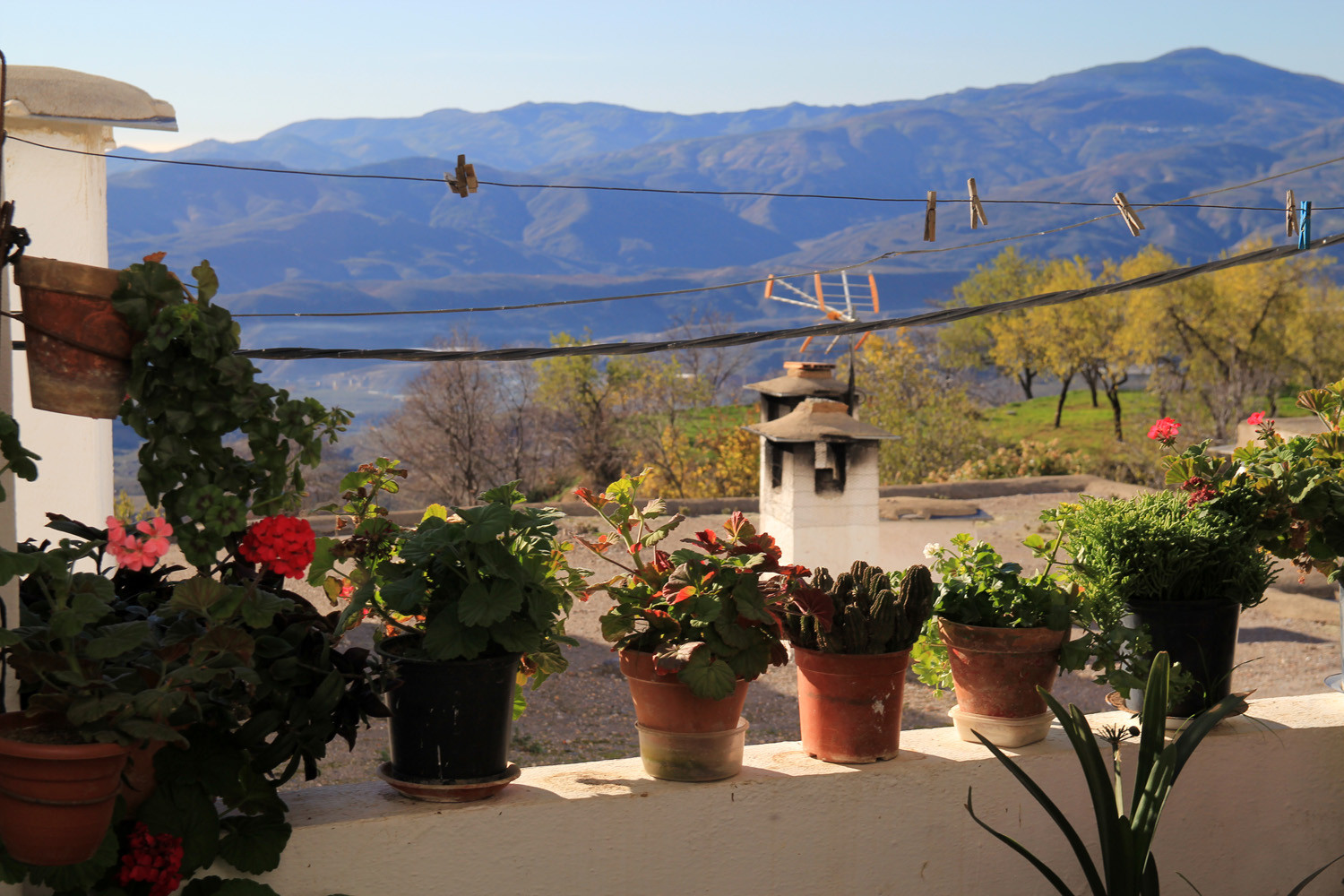
The Alpujarra is placed between Sierra Nevada, the Lújar range and the Gádor range. It finds its way to the Mediterranean Sea from the Mulhacén, the highest peak of the Iberian Peninsula. Its landscape is rough yet colourful, its orography is scattered with ravines, canyons and valleys, where the villages of this district are situated. The Guadalfeo River divides longitudinally the Alpujarra into two sections; the Higher Alpujarra and the Lower Alpujarra. The Higher Alpujarra lies on the southern side of Sierra Nevada where we can find beautiful villages such as Bérchules, Busquístar, Bubión, Juviles o Yegen. The Lower Alpujarra is formed by La Contraviesa, where we can find peculiar villages such as Lújar, Sorvilán and Albondón among others.
