
The village is located at 1011 meters above sea level and has 256 inhabitants (2013). The oldest notification of the village dates from 1003-1085. The name comes from the latin word "castrum" which means high houses.
The village is part of Natural Park Sierra Nevada and is divided in three neighborhoods of which the highest one "Bario Alto" is declared as Cultural interest.
The town is known of the exploitation of mines of iron and mercury. The small village Nieles belongs also to Cástaras.


Points of Interest in Cástaras
- One of the most charming are the old mines "Minas del Conjuro" They are abandoned for years and you can enjoy the incredible views from here.
Festivities in Cástaras
- On September 29 in honor of San Miguel Arcángel and on the 13th of May in honor of Virgen de Fatima.
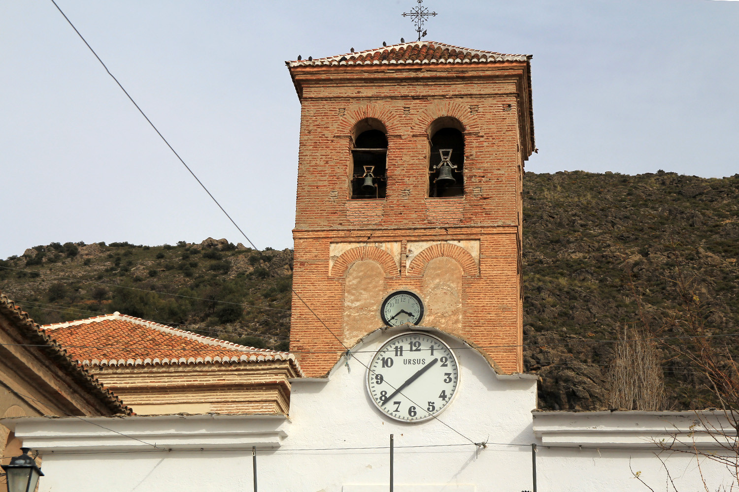
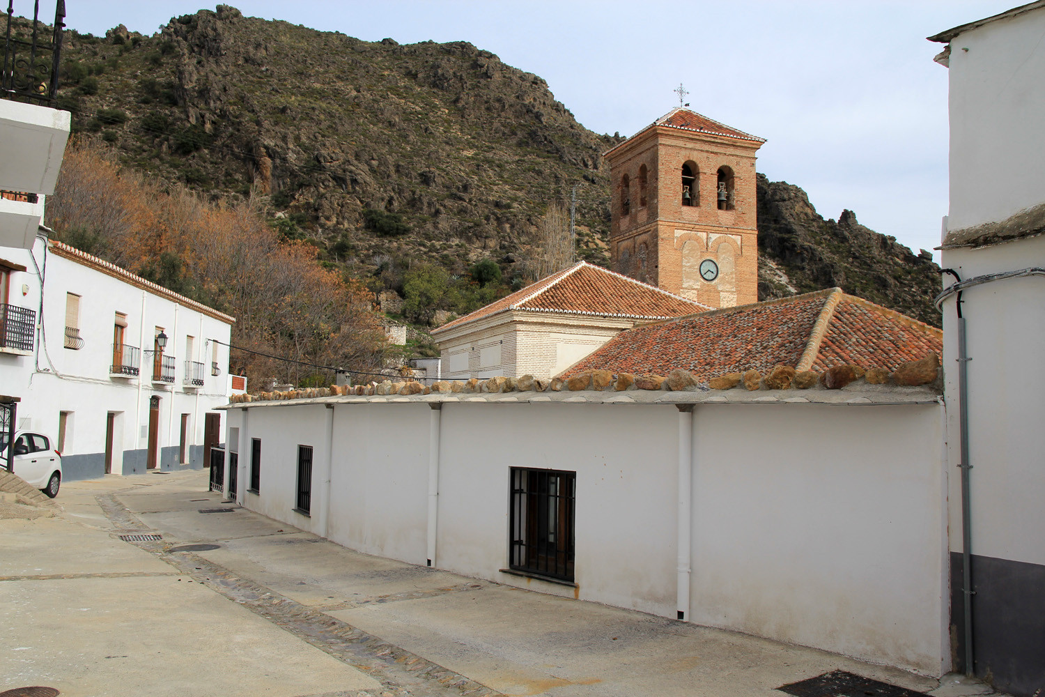
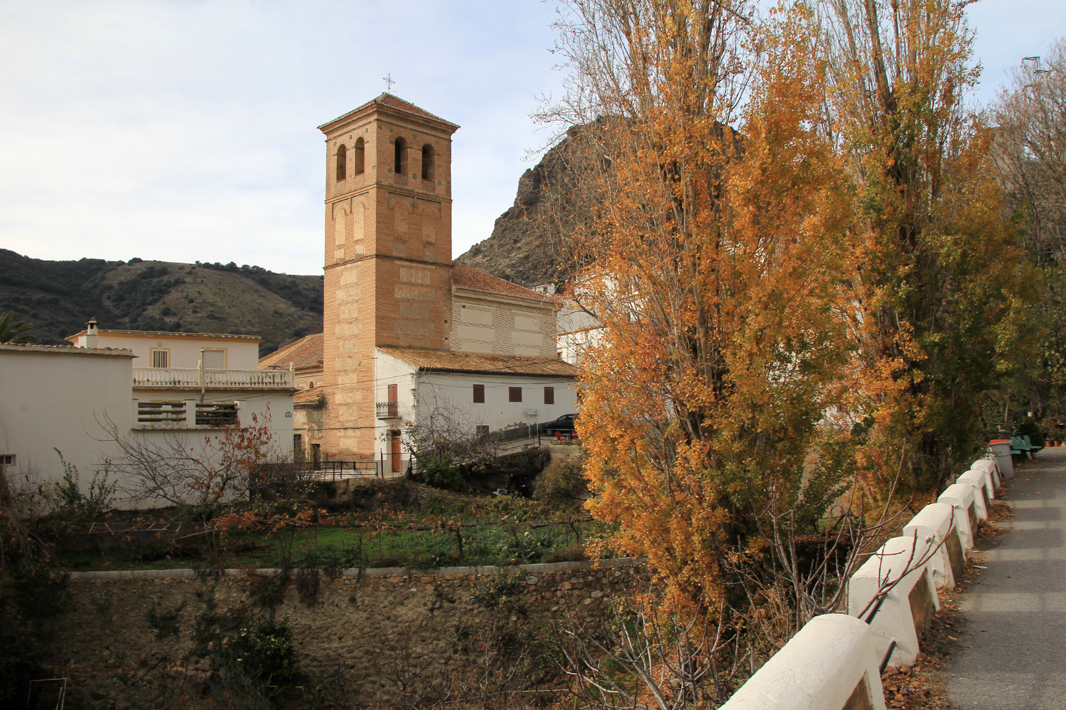
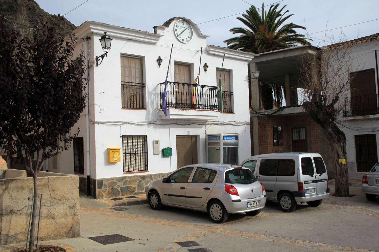
Photo Gallery of Cástaras


Basic Information Cástaras
Cástaras (36°55′53″N 3°15′13″O)
Altitude: 1011 meters
Population: 256 (2013)
Distances:
Distance to Granada: 96 km
Distance to the beach: 49 km (La Rabita)
Distance to the Airport of Malaga: 156 km
Distance to the Airport of Granada: 109 km
Touristic level: low - medium - high
Authentic level: low -medium - high
Facilities:
-
Supermarkets: no
-
Banks: no
-
Restaurants: no
- Bars: yes