
This very small village is located at 598 meters above sea level and has only 19 inhabitants (2013). This small town is part of the municipality of Ugíjar and is situated in the lower part of the Alpujarra, in Sierra de la Contraviesa.
Points of Interest in Las Canteras
- Chapel: Ermita de la Virgen de Fátima;
- Various "Tinaos";
- Castle ruins: Castillo de Escariantes (very close to the farmhouse, across the river, on a hill).

Festivities in Las Canteras
- Last weekend of August in honor of San Augustin
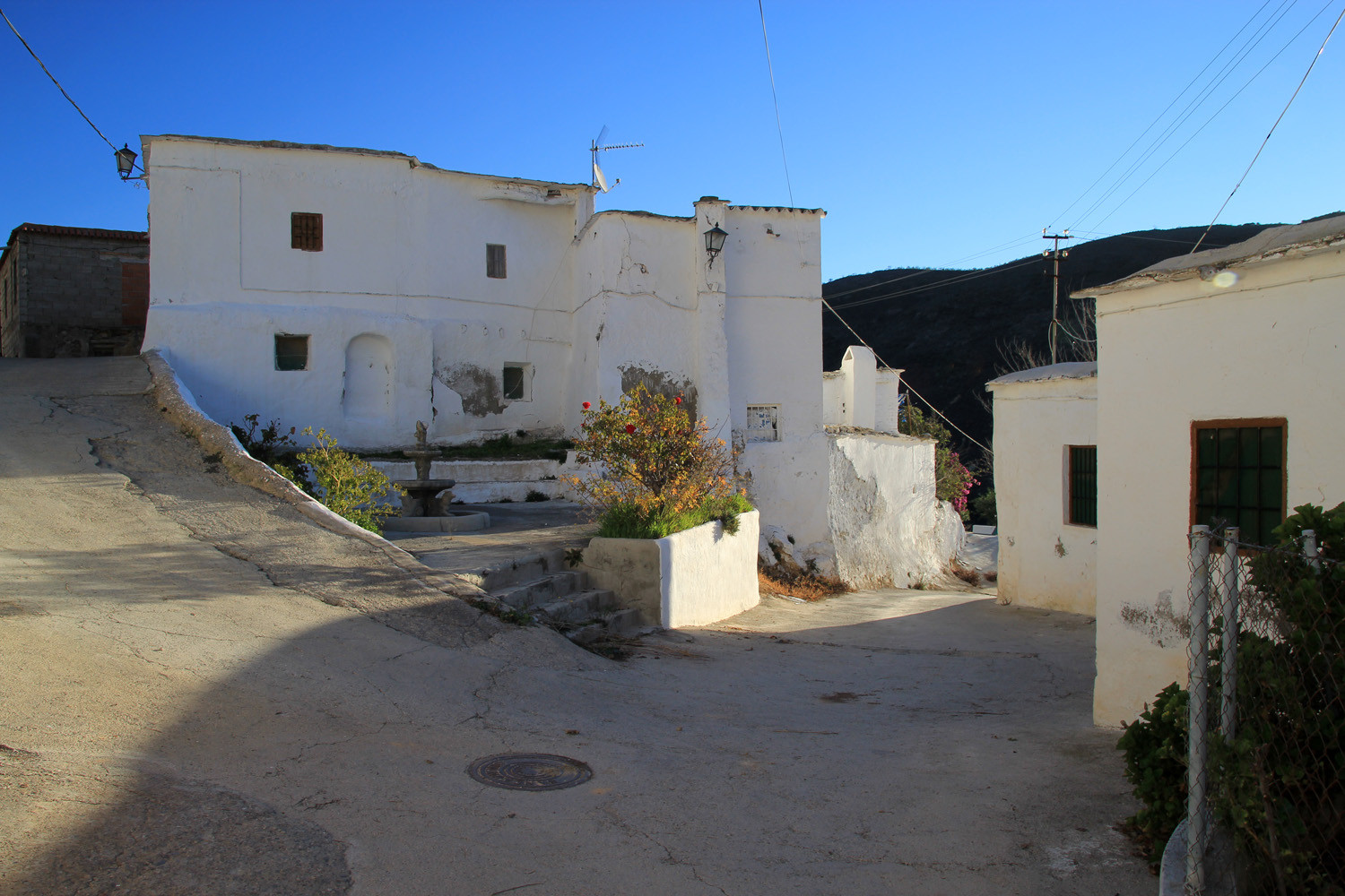
Photo Gallery of Las Canteras


Basic Information Las Canteras
Las Canteras (36°55′46″N 3°12′46″O)
Altitude: 598 meters
Population: 19 (2013)
Distances:
Distance to Granada: 114 km
Distance to the beach: 46 km (Adra)
Distance to the Airport of Malaga: 176 km
Distance to the Airport of Granada: 137 km
Touristic level: low - medium - high
Authentic level: low -medium - high
Facilities:
-
Supermarkets: no
-
Banks: no
-
Restaurants: no
- Bars: no