
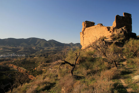
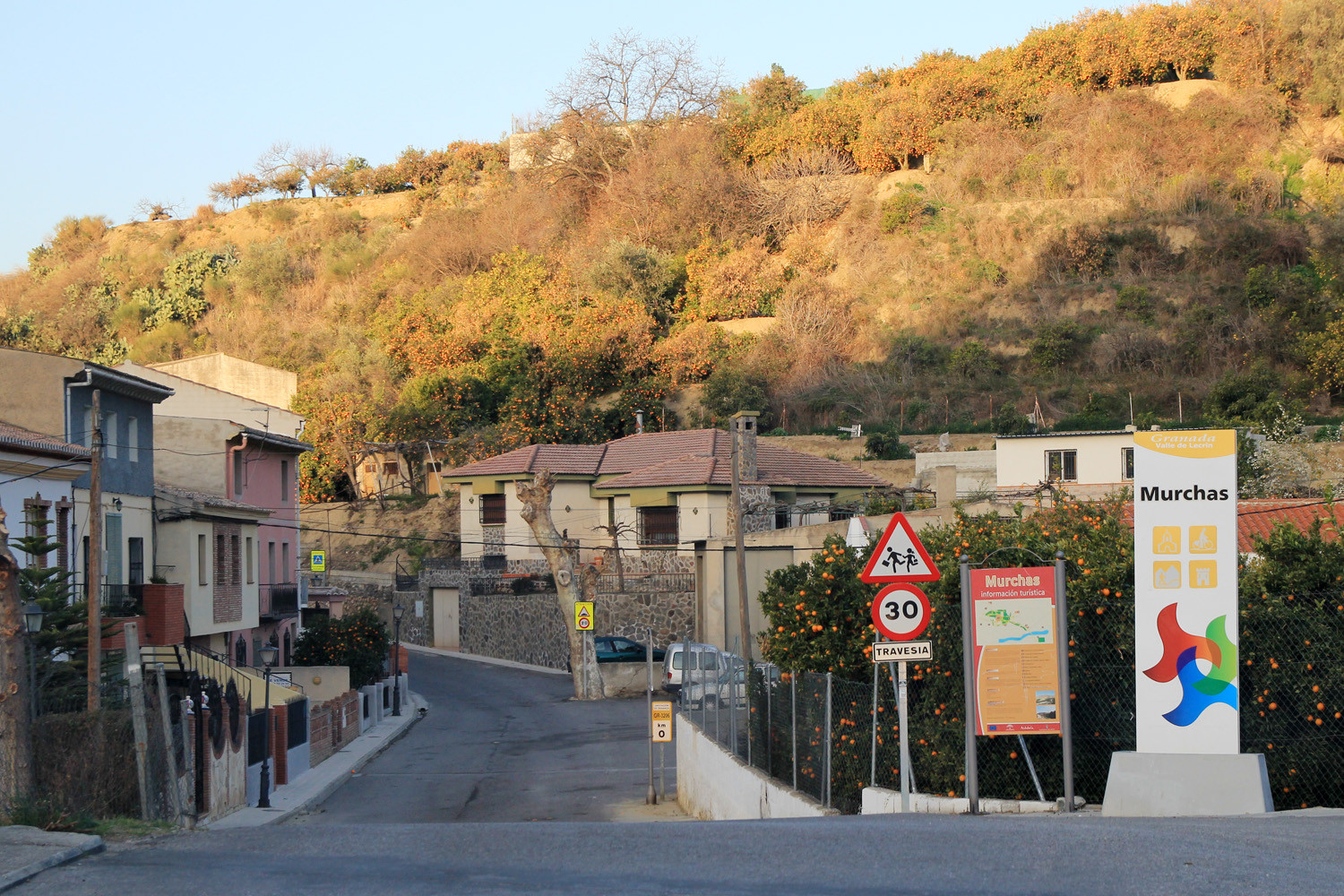
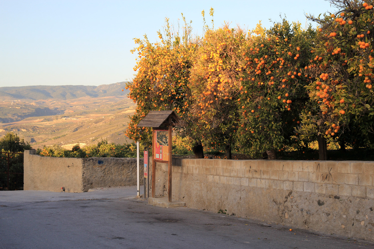
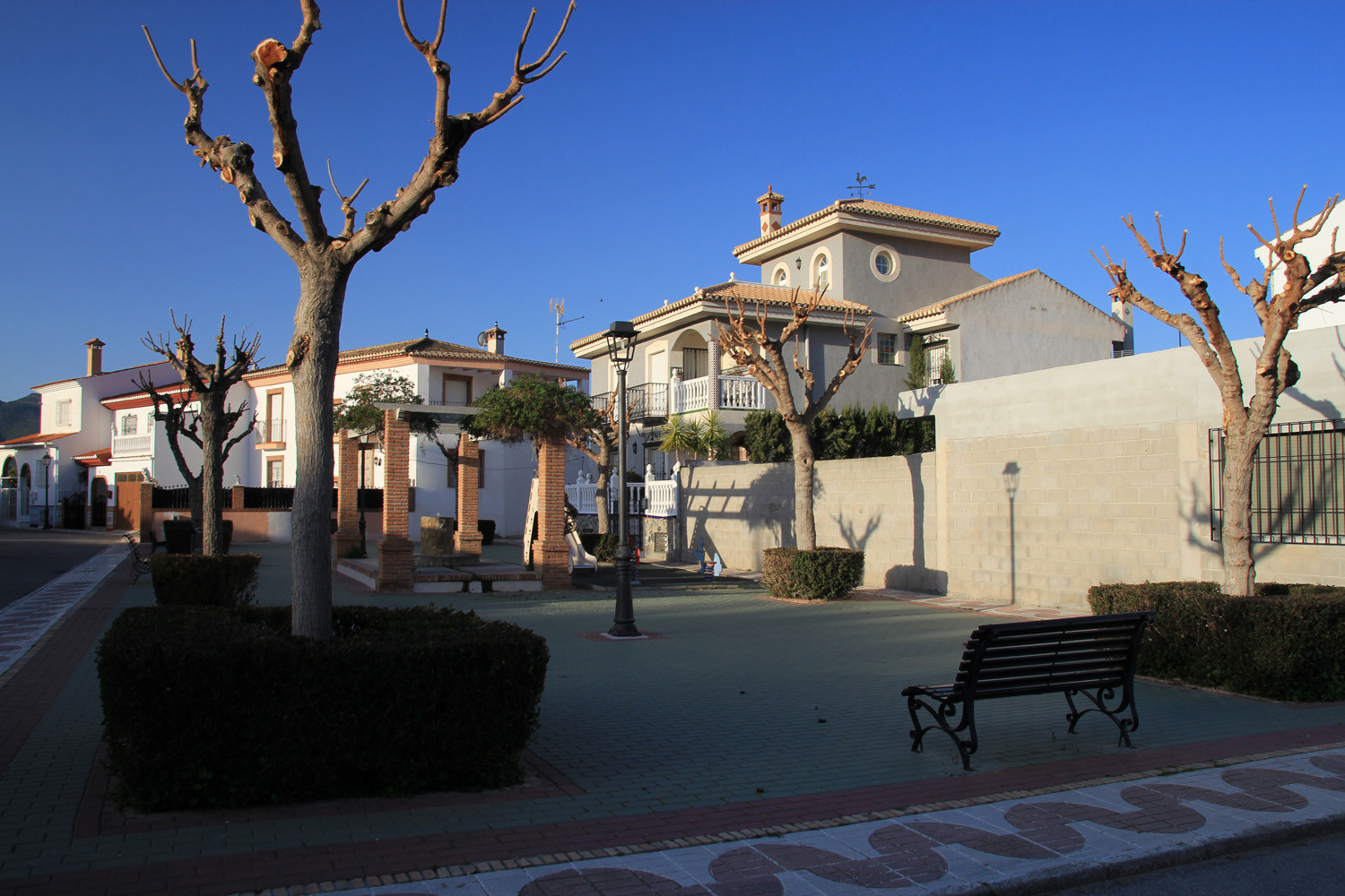
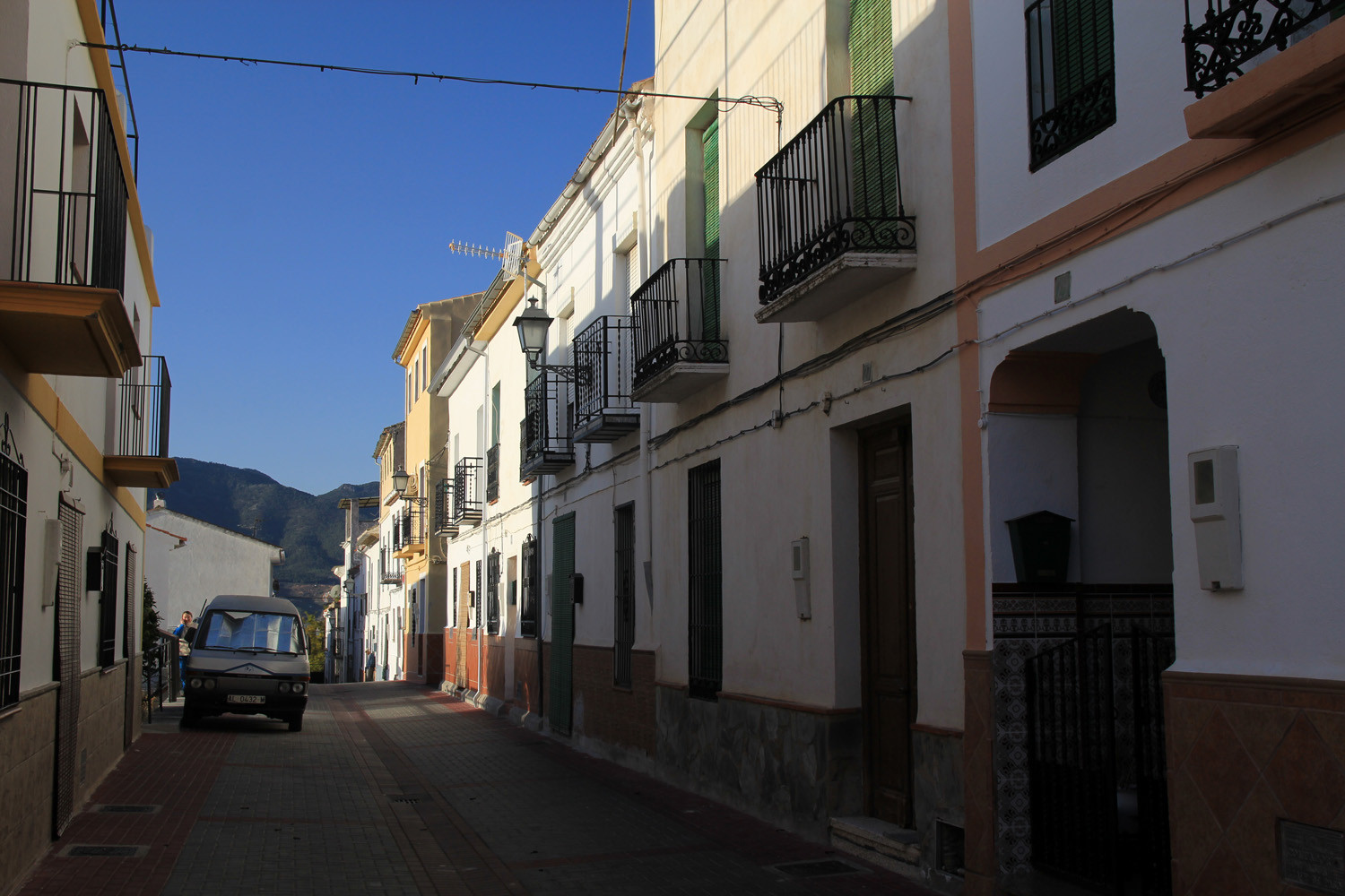
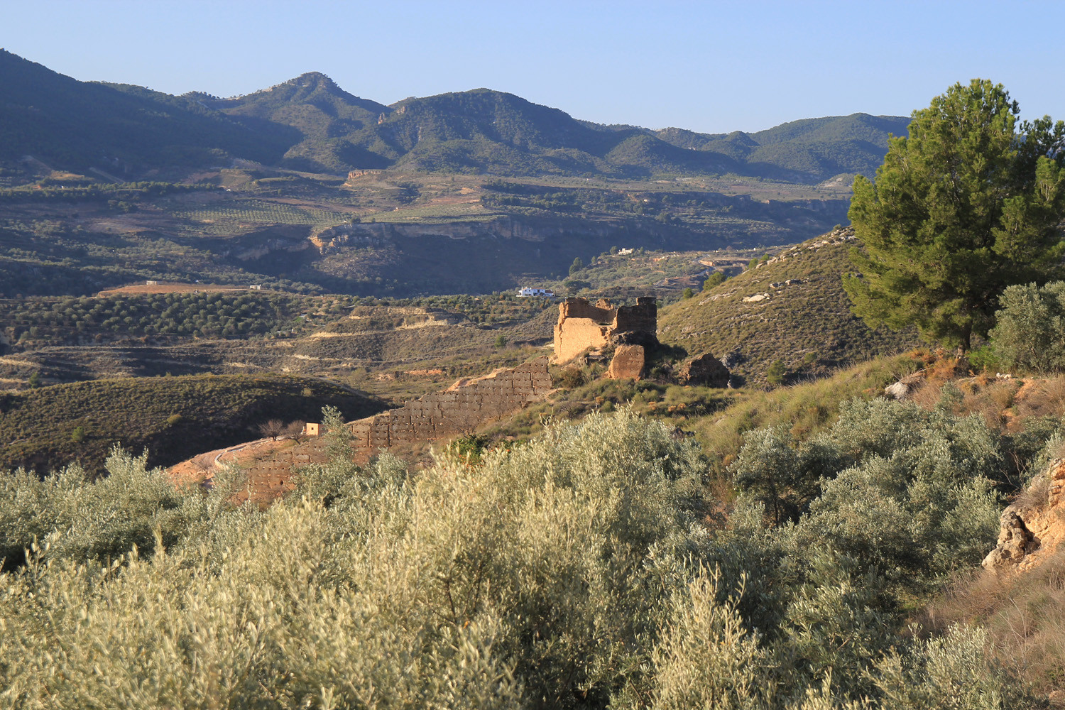
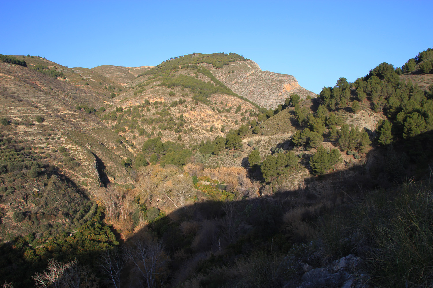
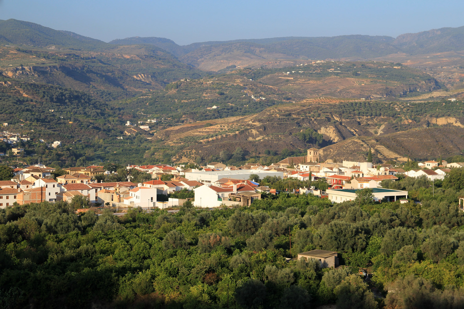
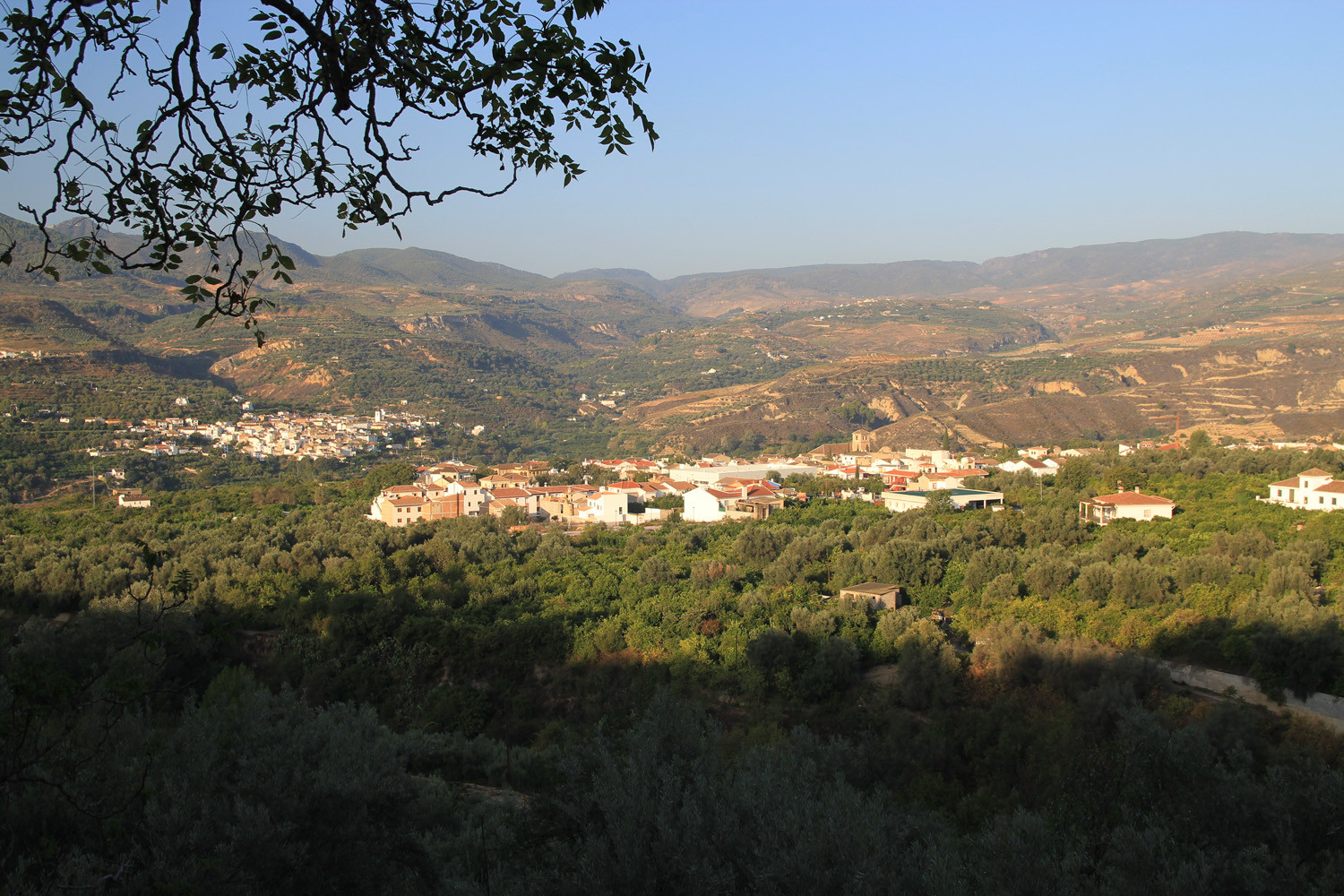
The village is located 663 meters above sea level and has 256 inhabitants (2012). In 1967 the municipalities of Acequias, Chite, Mondújar, Murchas and Talará merged into one municipality named Lecrín. Six years later Béznar joined the munipality of Lecrin together with its hamlet Peloteos. The town is located on a terrace of the Torrente River, one of the lowest and most sheltered areas of the Lecrín Valley. This is the reason why you see a lot of oranges and lemons gardens. The town center has a modern design. The reason for this is that the earthquake of December 25th in 1884, has ruined the village. It has been rebuilt a year later, in a pretended pattern of grid. The ruins of a Moorish Castle is located on one of the only two "coral reefs" Miocene (200 million years ago) that excists in the province of Granada. At this hill you can encounter fossil corals, molluscs, etc.
Points of Interest in Murchas
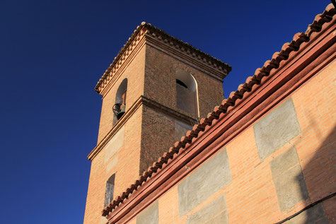
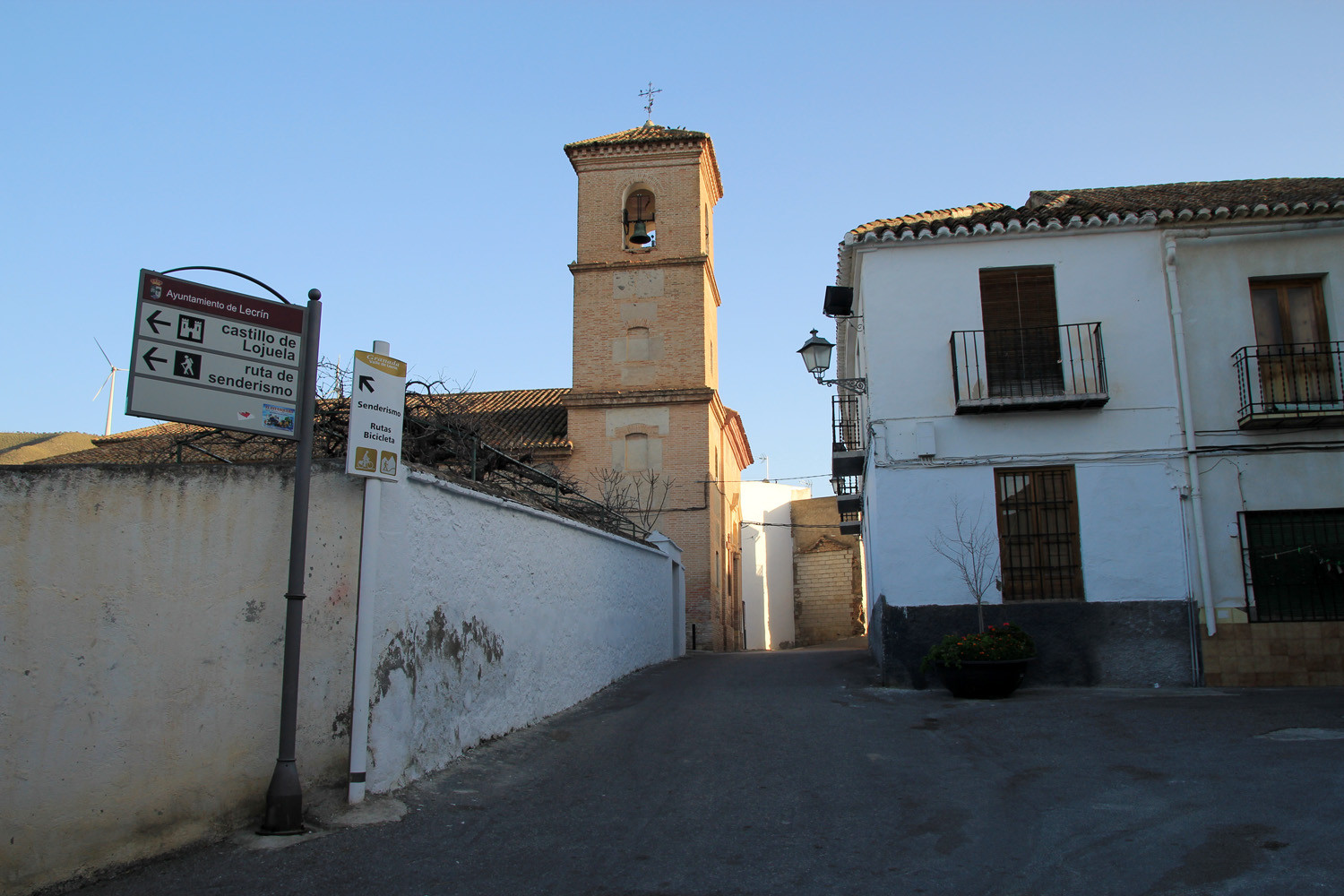
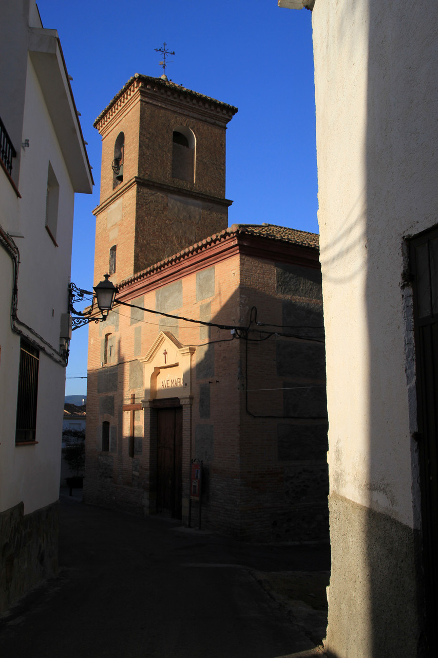
- Church; La Iglesia San Juan Bautista (16th century);
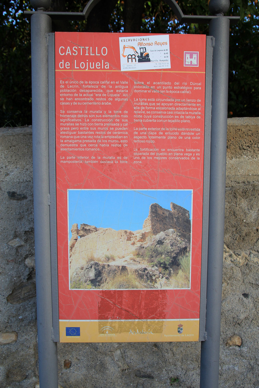
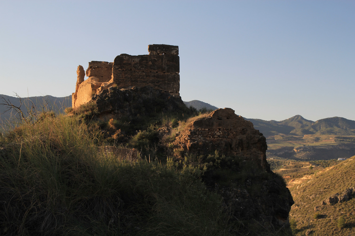
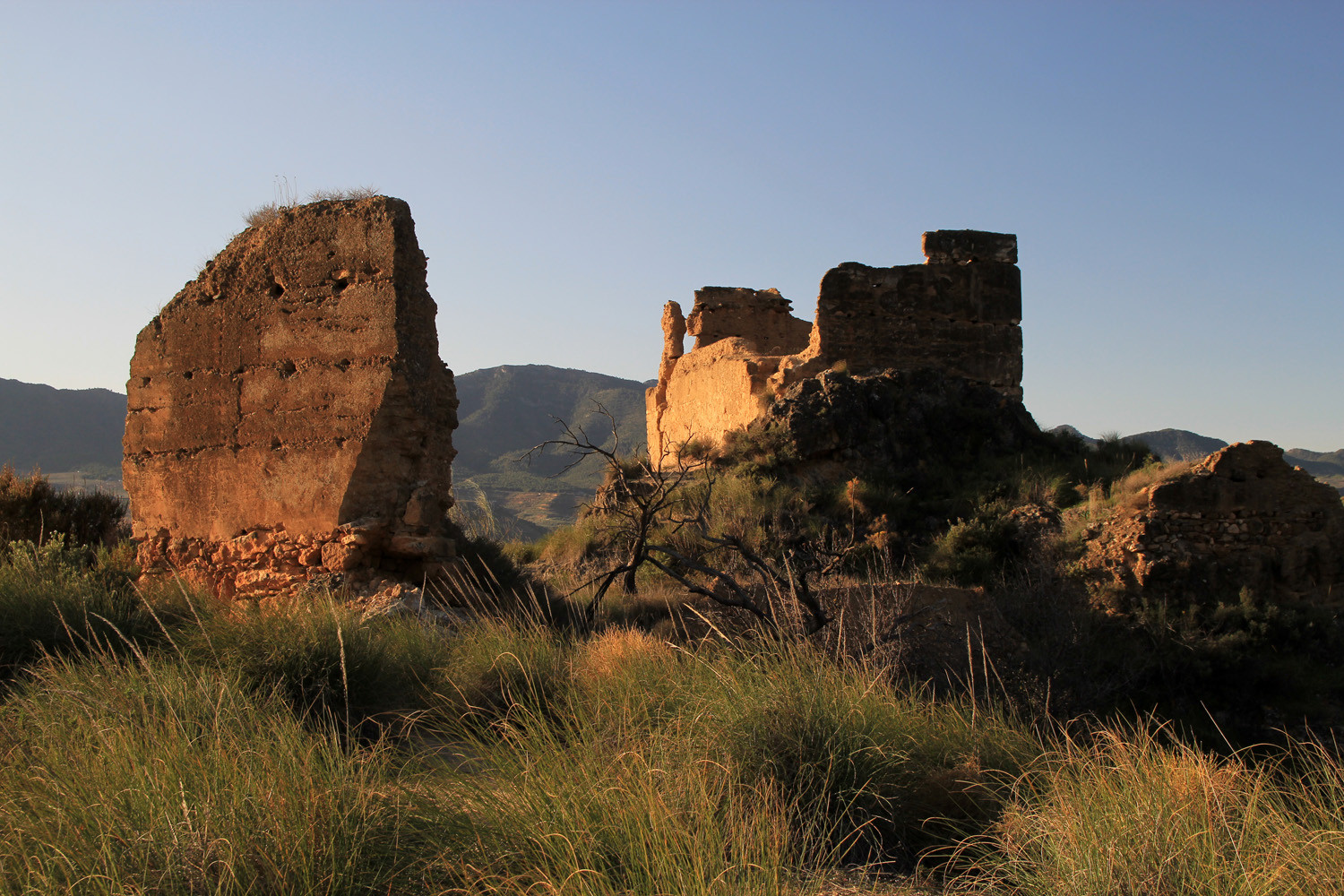
- Castle ruins: "Castillo de la Lojuela": ruins of tower and walls of Muslim era, was used as a fort and watchtower (11th century);
- Mills: Molino de Aceite de los Aponte Sánchez, Molino de Lojuela, Fábrica de Harina;
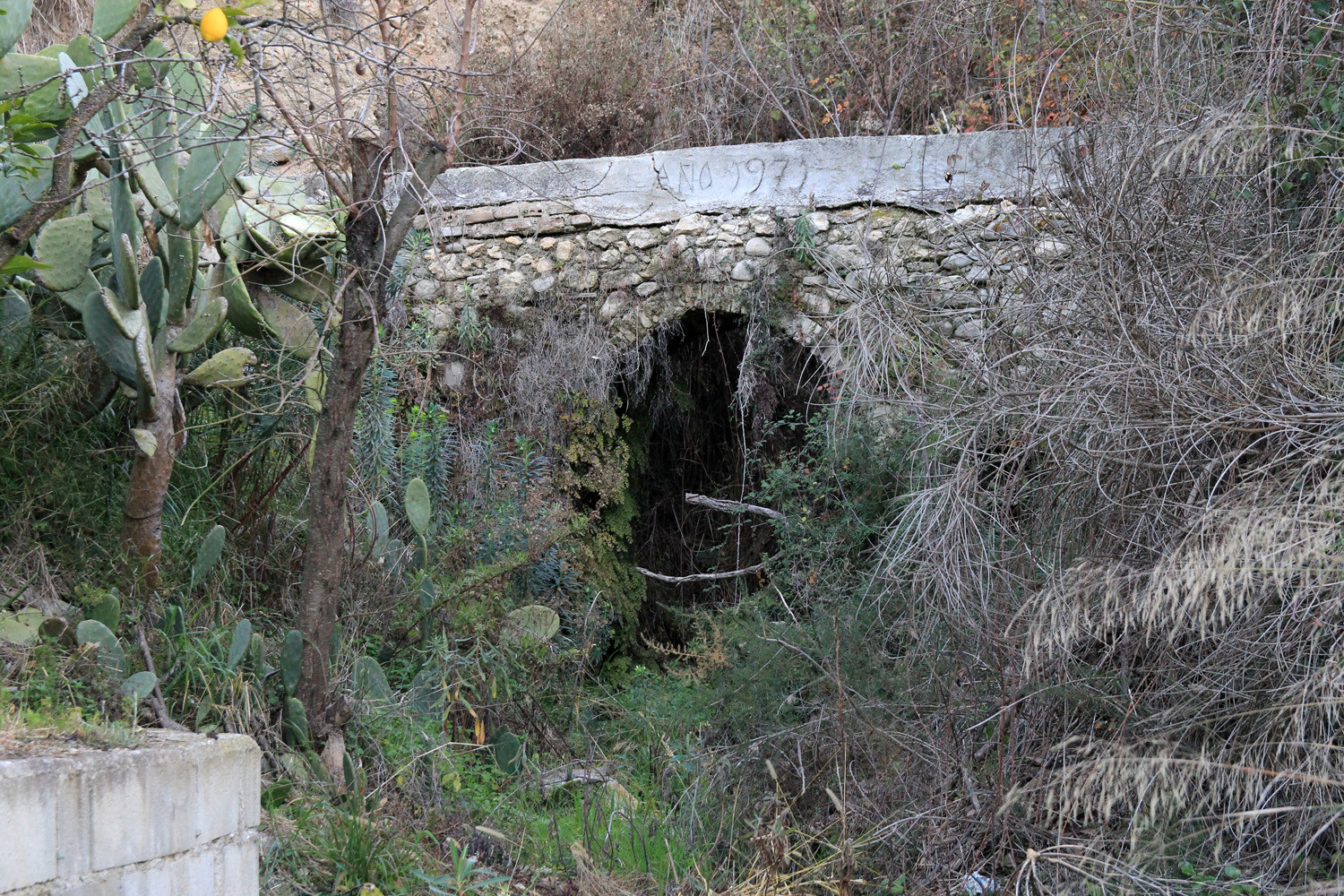
- The remains of a Roman aqueduct: Acequia de los Arcos.
Festivities in Murchas
- On the 1st and 2nd of January the festivities of Virgen de los Desamparados y Santa Lucía are celebrated;
- The "Burial of the fox"is celebrated on the 3rd of January;
- On December 25th: Rosario de de la Cruces: thanksgiving for the personal damage of the great earthquake of 1884 highlighting the anonymous songs in which only men participate.

Photo Gallery of Murchas


Basic Information Murchas
Murchas (36°56′51″N 3°33′31″O)
Altitude: 663 meters
Population: 256 inhabitants (2012)
Distances:
Distance to Granada: 36 km
Distance to the beach: 36 km
Distance to Airport Malaga: 130 km
Distance to Airport Granada: 51 km
Touristic level: low - medium - high
Authentic level: low - medium - high
Facilities:
- Supermarkets: no
- Banks: no
- Restaurants: yes
- Bars: yes