
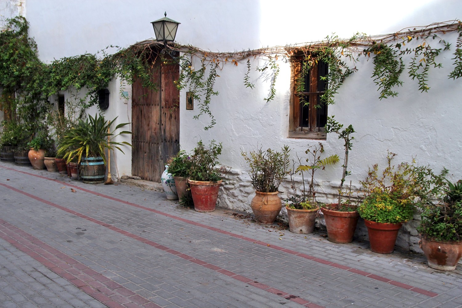
The village is located 637 meters above sea level and has 275 inhabitants (2009). In 1967 the municipalities of Acequias, Chite, Mondujar, Murchas and Talará merged into one municipality named Lecrín. Six years later Béznar joined the munipality of Lecrin together with its hamlet Peloteos. Chite has very narrow streets where you can nearly pass with you car. It is better to get a walk to explore this loverly village.

Points of Interest in Chite
- Church;
- Castle ruins;Ruins;
- The street of Chite;

Festivities in Chite
- On the 2nd and 3rd of June the festivities in honor of San Segundo are celebrated.
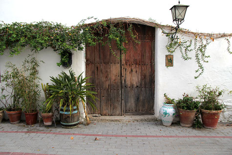
Photo Gallery of Chite


Basic Information Chite
Chite (36°56′18″N 3°33′20″O)
Altitude: 637 meters
Population: 275 (2009)
Distances:
Distance to Granada: 36 km
Distance to the beach: 37 km
Distance to Airport Malaga: 130 km
Distance to Airport Granada: 51 km
Touristic level: low - medium - high
Authentic level: low -medium - high
Facilities:
- Supermarkets:
- Banks:
- Restaurants:
- Bars: