
The village is located 576 meters above sea level and has 353 inhabitants (2009). Béznar was a separate municipality until 1973. In 1967 the municipalities of Acequias, Chite, Mondújar, Murchas and Talará merged into one municipality named Lecrín. Six years later Béznar joined the munipality of Lecrin together with its hamlet Peloteos.

Points of Interest in Béznar
- Church; Santa María la Mayor (1530)
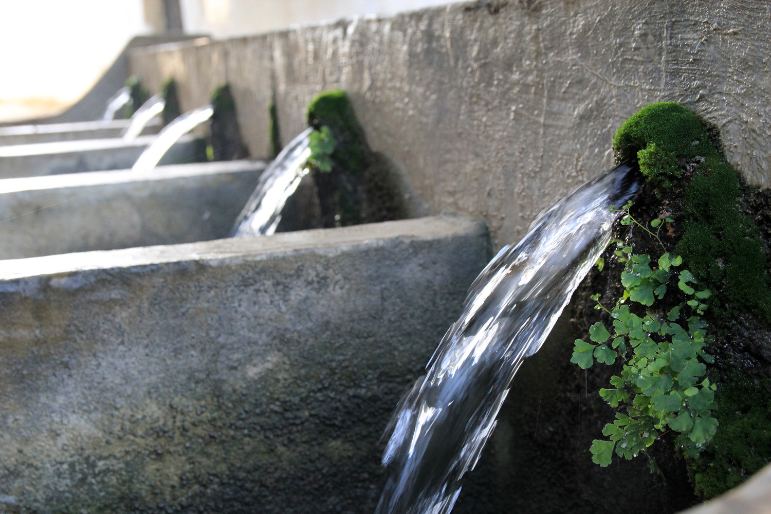
- Washing sinks;
- Chapel; San Anton
- Bridge;
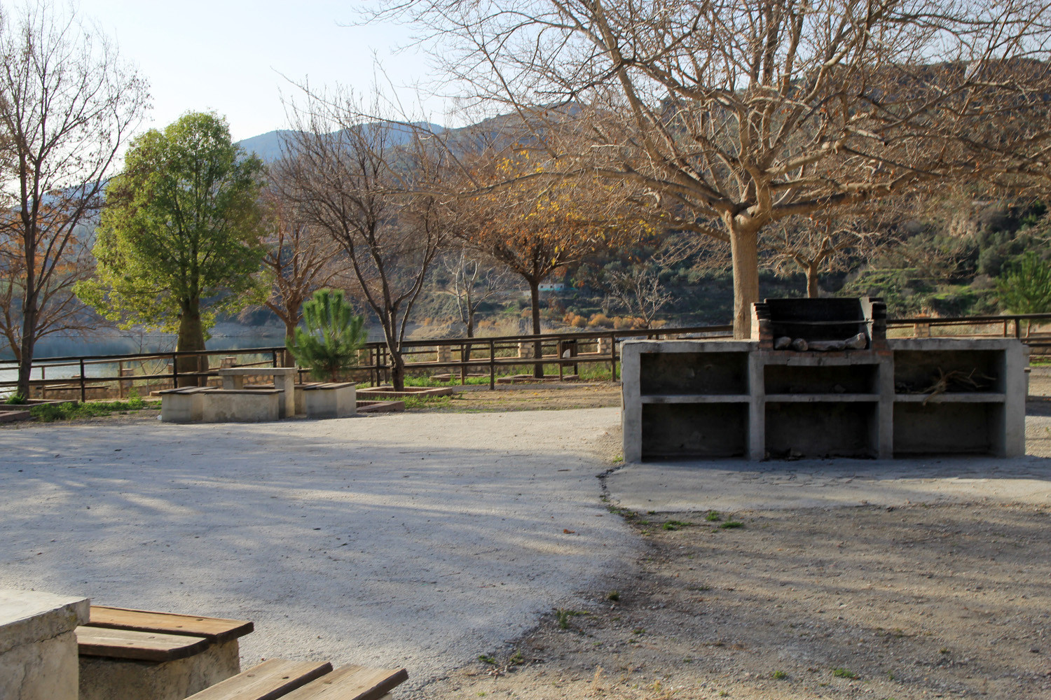
- Lake: Embalse de Béznar
- Recreation area near the lake.

Festivities in Béznar
- The festivities in honor of the Patron San Anton are celebrated around the 15th of August;

Photo Gallery of Béznar


Basic Information Béznar
Béznar (36°55′38″N 3°32′31″O)
Altitude: 576 meters
Population: 353 inhabitants (2009)
Distances:
Distance to Granada: 37 km
Distance to the beach: 32 km
Distance to Airport Malaga: 126 km
Distance to Airport Granada: 52 km
Touristic level: low - medium - high
Authentic level: low - medium - high
Facilities:
- Supermarkets: yes
- Banks: yes
- Restaurants: yes
- Bars: yes