
Natural Park Sierra Nevada - Occidente (Granada)
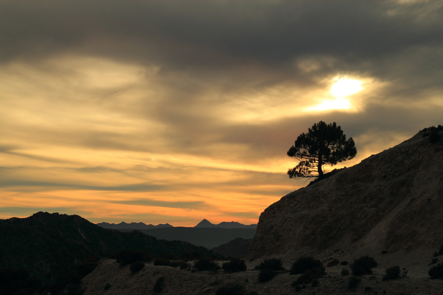
Natural Park Sierra Nevada Occidente is the most popular part and located at the north west side. This is first caused by the short distance from the capital and secondly this is the side where you are able to practice ski on in total 100 km of slopes in winter and spring. Also in summer a gondola lift and chair lift can bring you up from Pradollano to an altitude of 3100 meters with or without mountainbike. There are several marked mountain bike and hiking trails. This part is also excellent in order to see the thaw process in June / July. In Monachil you can see one of the nicest canyons of the Sierra Nevada; "Los Cahorros" which is a very popular spot to visit for local people and tourists.

Area Rio Genil and Lavadero de la Reina - Güejar Sierra


From Güéjar Sierra are two roads going into the Sierra Nevada. The first one goes along the Genil River, where in early days the formal mountain carril was situated. This road had a dead end and the end is a parking situated and a bar, halfway the road are two more bars/restaurants situated. The other road is first going into the direction of the camping, but before you have to take a new asphalted road to the right. This road is going down and crossing a river and from this point turning into a dirt road which you have to follow for 10 km´s. At the end you are driving on a mountain plateau and at some point the road is blocked where you have to park you car. See for details the hiking trail no. 4 of Trek Granada which is listed below.
El Trevenque - La Zubia
From La Zubia a road is going up into the Sierra Nevada, it passes Cumbre Verde and ends 1 km after the restaurante El Hervidero. This is a popular starting point for hikes through the Trevenque, The Trevenque has sharp steep mountain slopes of limestone, and it habitats almost fifty strange and curious plants, Some of these grow only here and on the surrounding mountains peaks, so it has a great ecological value. On very hot summer days this restaurant which has a very big terrace with views over the Granada plateau, is a very pleasant place to enjoy a drink or have a lunch or dinner. Because of the altitude it is cooler than in Granada capital. More Info


Los Cahorros Monachil


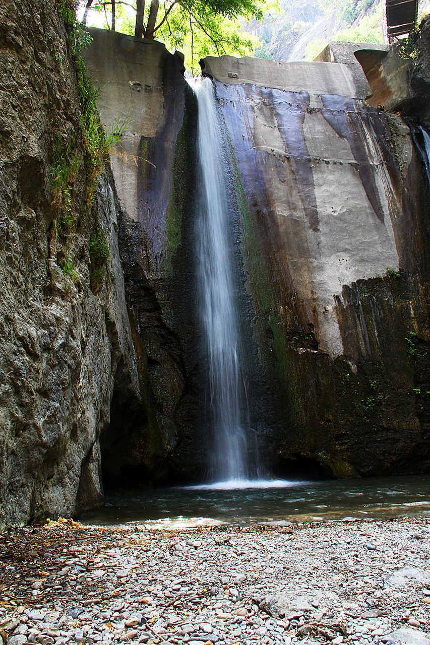


This is one of the most visited canyons in the province, because of its beauty and its situation close to Granada city. The canyon is very large and you can walk a one way trail which goes back over the mountain or return at the end of the canyon. Some parts are very narrow which is forcing you to craw on your knees for a few meters. Halfway the trail is a very long suspension bridge with waterfalls underneath. At the end of the trail is another waterfall. In order to reach this canyon you have to pass Monachil and take the road to the river just outside the village. At the end of this road is a bar restaurant, where you can park your car. The canyon is a very popular destination for many people in the weekends. See for more detail hiking trail no. 7 from Trek Sierra Nevada below.
Area Dílar
In Dilar you can take a road that is going to the recreational area which is situated in the Natural Park next to the river Dilar. Especially in weekends this can be a very busy place, when a lot of Spanish people are having a picnic and looking for refreshment at the river side. It is an excellent place to start a hike into the Sierra Nevada.. A trail is going along the river Dilar in the direction of the Trevenque area which is not descending a lot so also excellent for children. In Dilar is also a nice trail going to a very big natural arch named "Piedra Ventana".


Area Pradollano in Winter


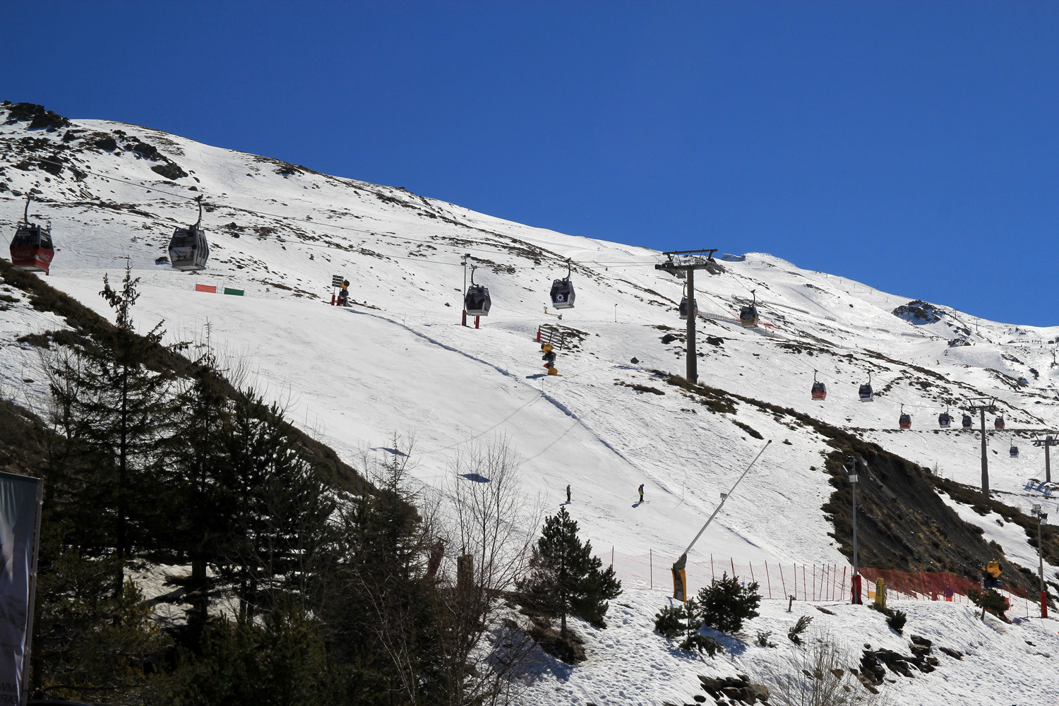


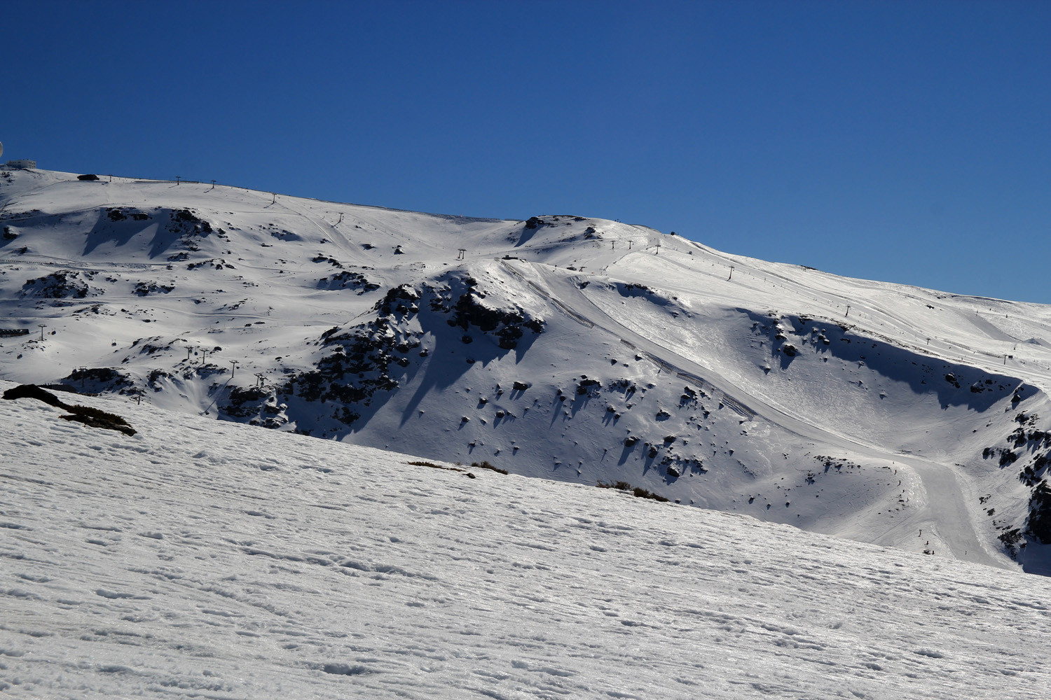


Pradollano belongs to the municipality of Monachil. It was founded together with the ski resort of Sierra Nevada. The place was known by that name, since the lower part and origin of the town is a relatively flat area that contrasts with the high mountain slopes around you.
The construction of the station was initiated by the City of Granada in 1964. This Ski Area is the sunniest ski resort in Europe with over 80% of sunny days. The ski season is running from November to early May. There are in total 22 lifts, 126 pistes, with a total length of 106 km and a vertical drop of 1200 meter.
Area Pradollano in Summer
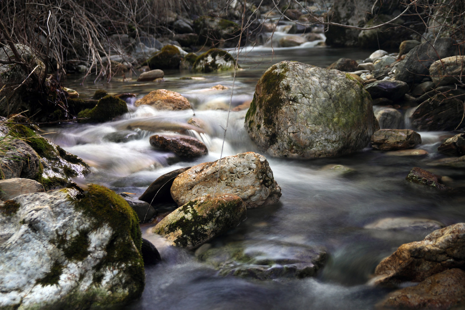
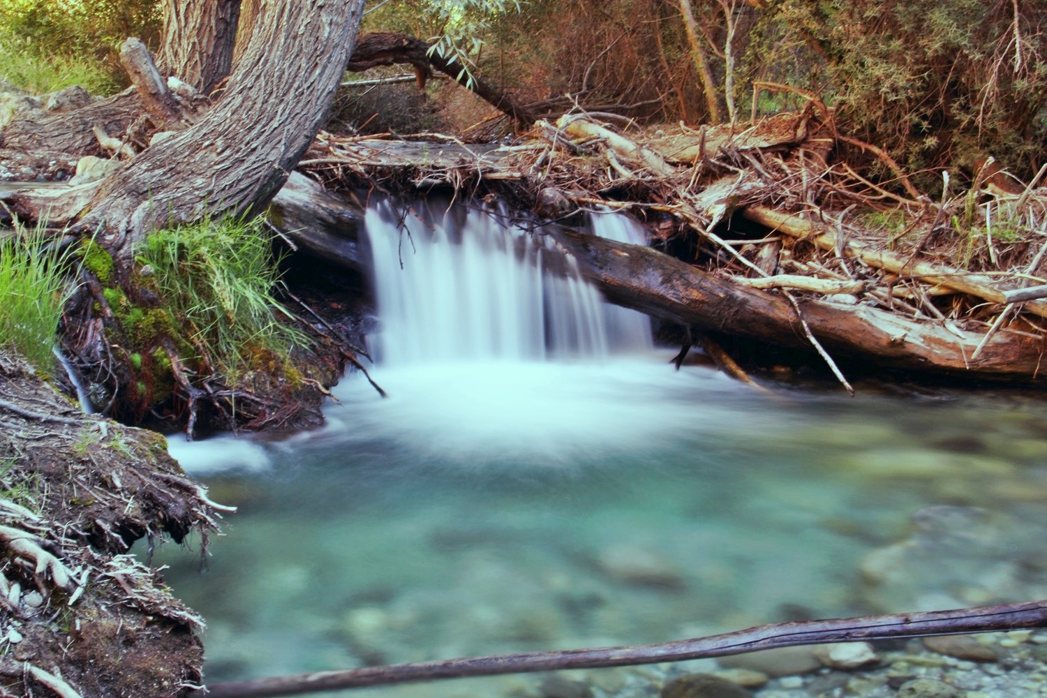
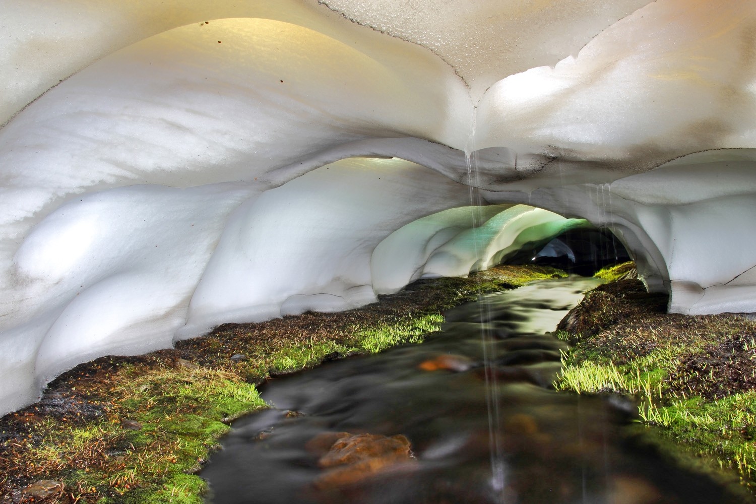
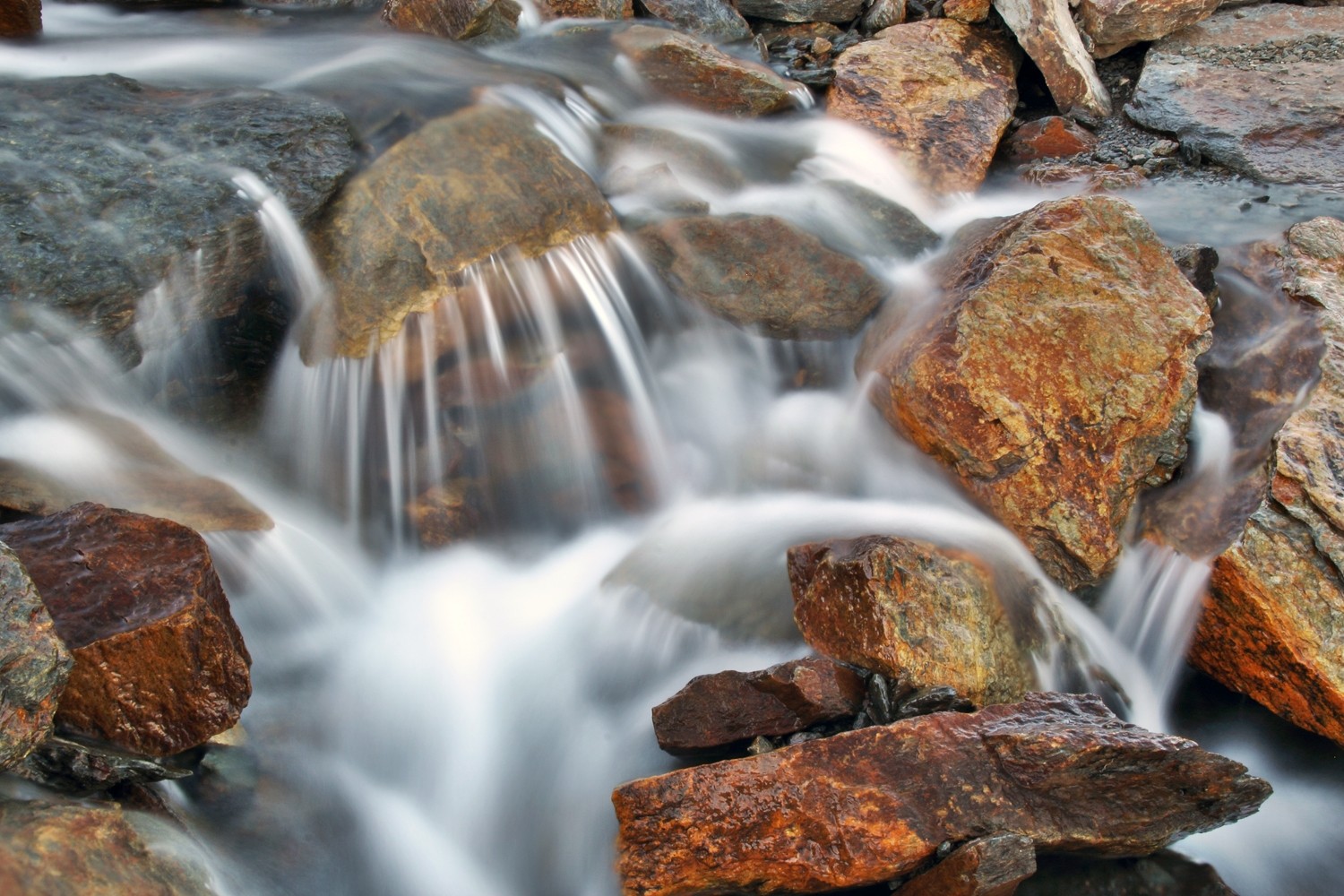
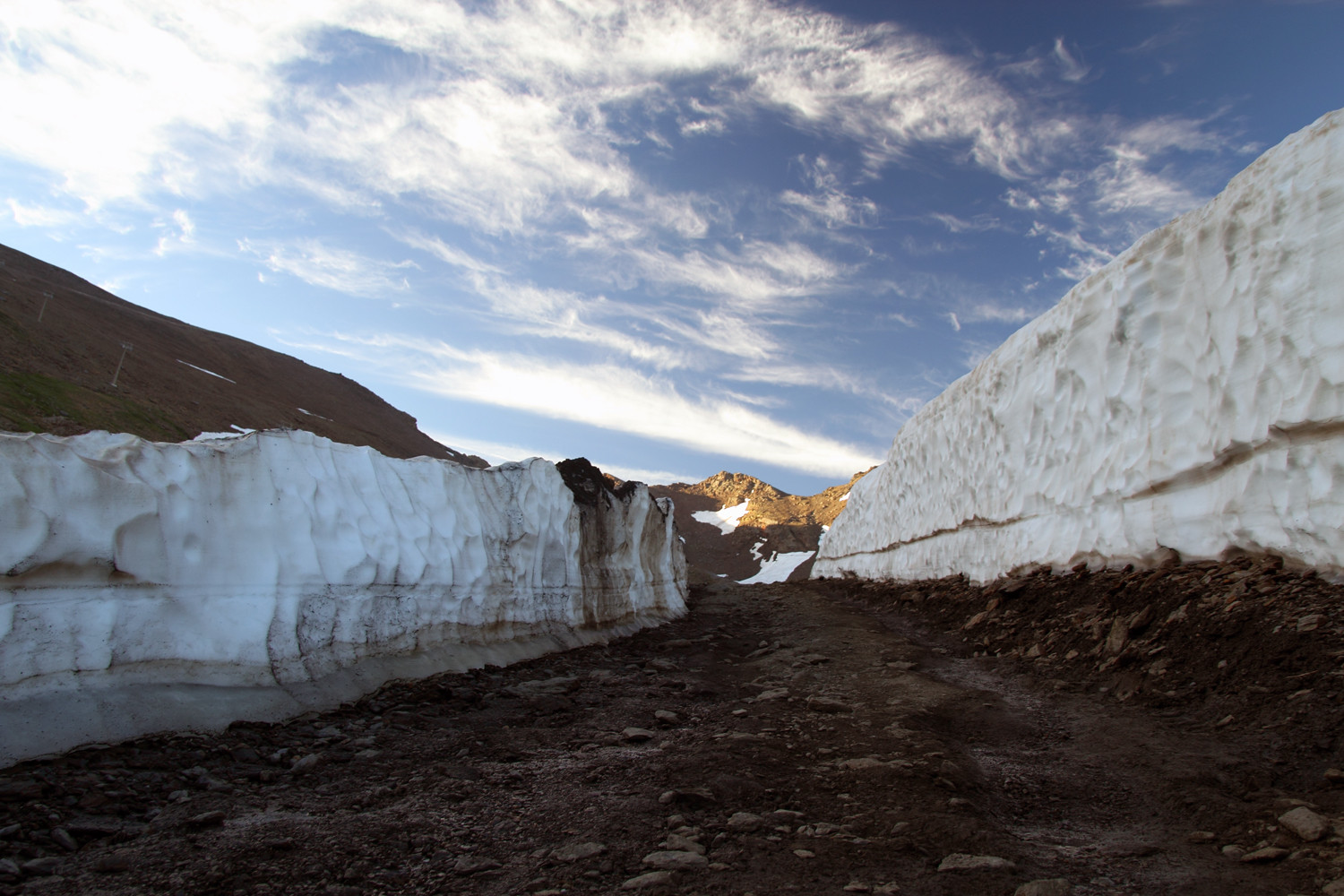
In May the thaw is entering and the ski slopes are closed. The melt water is finding its way to the valley so you will see small streams everwhere. This process is amazing, the melt water is finding the original riverbeds, which are still covered with snow and this is creating snow bridges and large snow tunnels and snow caves. The light that is entering the snow is giving it a green / blue color if you look inside a tunnel. You have to be very carefull when entering a snow tunnel, they are not very high maximum 1,5 meter, very fragile and they can collapse anytime. The gondola lift of Pradollano will be operational in July and August in order to bring hikers and mountain bikers to an altitude of 3100 meters. There are several marked trails set out.


Hiking Trails

The Sierra Nevada is an area with a lot of possibilities in order to practice hiking. The Ministry of Agriculture, Food and Environment has prepared in total 29 trails; 7 of them are situated in the area of the Sierra Nevada - Occidente. You can see a map of these trails here. It is recommended to buy a detailed map; the best printed map of the Sierra Nevada is the one that comes with the Penibetica map and guide “Sierra Nevada – Parque Nacional”, scale 1:40000, ISBN: 978-84-937953-1-3 which is sold in the visitor center of the National Park or in bookstores / tourist shops. Especially in spring some parts of the hiking trails can still be covered with snow, but these parts can be icy in the morning, due to the low temperatures at night, so caution is required.
Hiking Trails Prepared by Trek Sierra Nevada
Trek Sierra Nevada is run by Ben and Rebecca, a British couple living and working in Granada. Since they arrived four years ago, they have immensely enjoyed exploring the surrounding area, which really is a paradise for hikers. Trek Sierra Nevada is providing detailed, easy-to-follow and accurate information in a standard format for a wide range of hiking routes in the Sierra Nevada and surrounding area.
The trail is 12 km long with an altitude difference of 440 meters and will take 3h 15m. Download here the trail in PDF or GPX/KML file.
2. Cortijo Hornillo Version A (Güéjar Sierra)
The trail is 16 km long with an altitude difference of 813 meters and will take 4h 30m. Download here the trail in PDF or GPX/KML file.
3. Cortijo Hornillo Version B (Güéjar Sierra)
The trail is 16,5 km long with an altitude difference of 1054 meters and will take 5,5h. Download here the trail in PDF or GPX/KML file.
4. Lavaderos de la Reina (Güéjar Sierra)
The trail is 17 km long with an altitude difference of 640 meters and will take 6h. Download here the trail in PDF or GPX/KML file.
5. Vereda de la Estrella (Güéjar Sierra)
The trail is 22,5 km long with an altitude difference of 1008 meters and will take 7h. Download here the trail in PDF or GPX/KML file.
The trail is 9 km long with an altitude difference of 373 meters and will take 2h 15m. Download here the trail in PDF or GPX/KML file.
The trail is 8 km long with an altitude difference of 400 meters and will take 2h. Download here the trail in PDF or GPX/KML file.
8. Dilar - Ermita Vieja - Cerro de Montellano B
The trail is 15 km long with an altitude difference of 650 meters and will take 4h. Download here the trail in PDF or GPX/KML file.
9. Dilar - Ermita Vieja - Cerro de Montellano A
The trail is 10,5 km long with an altitude difference of 773 meters and will take 3h 15m Download here the trail in PDF or GPX/KML file.
The trail is 14 km long with an altitude difference of 500 meters and will take 4,5h. Download here the trail in PDF or GPX/KML file.
11. Cerro Huenes
The trail is 12,5 km long with an altitude difference of 600 meters and will take 3h45m Download here the trail in PDF or GPX/KML file.
Hiking Trails from Top Walks
1. Maitena - Loma las Cunas (Güejar Sierra)
The trail is 6,5 km long with an altitude difference of 255 m and will take 2h. Download here the trail in GPX/KML file or see the map
2. Cerro el Calar (Güejar Sierra)
The trail is 13 km long with an altitude difference of 700 m and will take 4,5h. Download here the trail in GPX/KML file or see the map
3. Vereda de la Estrella - Presidiarios - Río Real (Güejar Sierra)
The trail is 19,5 km long with an altitude difference of 640 m and will take 7h. Download here the trail in GPX/KML file or see the map
The trail is 31 km long with an altitude difference of 1036 m and will take 10h. Download here the trail in GPX/KML file or see the map
5. Prado Redondo - Peña del Perro (Pradollano)
The trail is 8,5 km long with an altitude difference of 215 m and will take 2,5h. Download here the trail in GPX/KML file or see the map
Location Natural Park Sierra Nevada (Occidente)
Other Parts of the Sierra Nevada

Overall overview of the Natural & National Park Sierra Nevada with information and photo galleries from the different seasons, the flora & fauna and the observatory. Parque Natural Sierra Nevada is with 85.883 the biggest national park in Spain. Around the National Park is a Natural Park designated which contains 90.000 hectares. The Sierra Nevada National Park is shared between the Province of Granada (65 % of the park) and the Province of

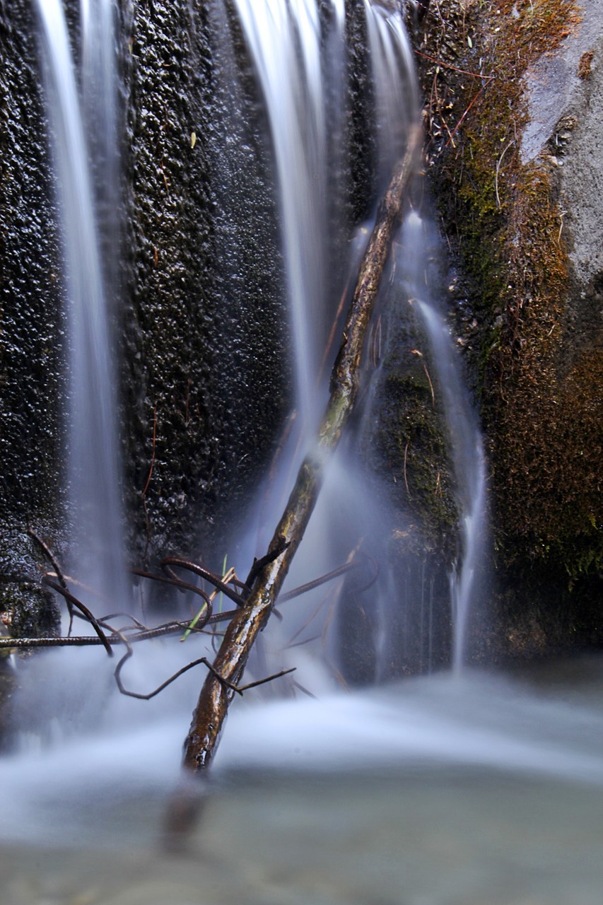
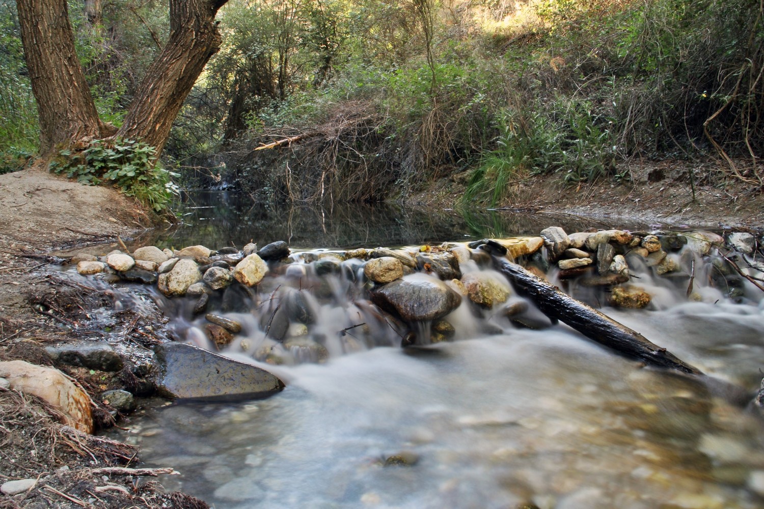
The northern part of the Sierra Nevada is called Guadix - Marquesado de Zenite. It is the most green part of the Sierra Nevada. The mountain flanks are covered with woods, which are crossed by several beuatiful mountain rivers. Because of the humidity, the trees and riverbeds are covered with green moss. This area is in general untouched and the tourist level is low despite the beauty of this area. From this side are also going trails to the highest peaks of More Info

On the side of Valle Lecrín are some very interesting aspects to see. First the wetlands of Padul, which are listed as a natural reserved area inside the Natural Park Sierra Nevada. This area has a lot of different species of waterbirds, that live here or are on migration. Next to the park is a educational center situated. Secondly there is a large rock accumulation called Natural Monument Falla de Nigüelas. It is situated on the border of the Natura Park.....
The higher Alpujarra is for a great part situated in the National & and Natural Park Sierra Nevada. So in order to enjoy the beauty of these mountains you have a lot of oppurtunities. There are over 15 villages that are situated or have there borders inside the Natural Park Sierra Nevada. Its situation on the south is causing that the average annual temperature is 16.6 °C. The best villages to start a trip to the peaks of the mountains are Lanjarón, Capileira and Trevélez.