
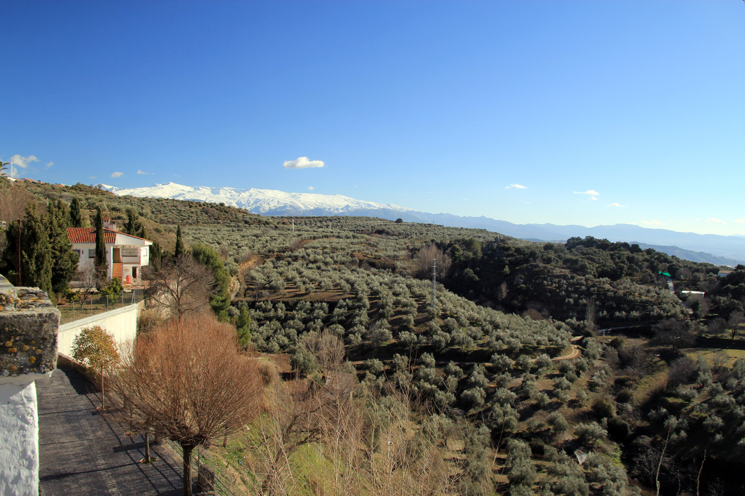
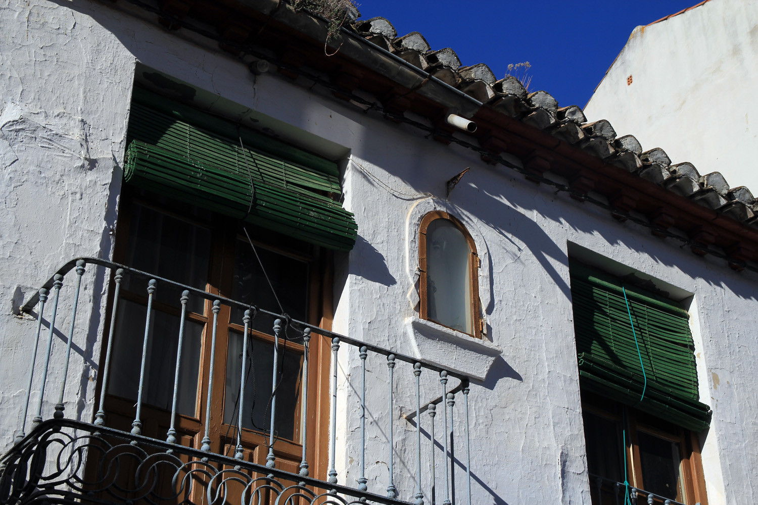
The village is situated at 1035 meters above sea level and has 920 inhabitants (2014). The town has a rich history that goes back to the Roman period. Everything indicates that there in this place has been human settlements since ancient times, but its foundation as a town was surely formed in the time of the Arabic domination, Its name comes from a watchtower that was raised and was baptized as Hisn al-Nibal. The village has a nice "boulevard" with spectacular views on the Sierra Nevada and in the fileds are some ruins of a castle located. A part of the municipality is located within Natural Park of Sierra de Huétor.

Points of Interest in Nívar
- Castle ruins: El Castillejo de Nívar y Güevéjar;
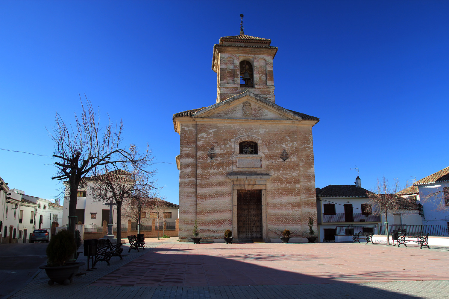
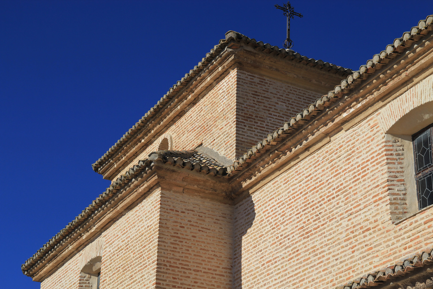
- Church: Iglesia del Santo Cristo de la Salud (18th century);
- Springs: "Nacimiento de la Fuente de Nívar"; "El pilar de la Iglesia"; "El Pilarillo" in calle Zacatín; "Pilar del Ayuntamiento"; "Fuente de la plaza";
- Excursions to Peñón de Bartolo and horseback riding;
- Cueva del Tajo de la Monea;
- Chasm: Sima de Nívar - La Lata;
- Chasm: Sima de los Maderos;
- Natural Park Sierra de Huétor.

Festivities in Nívar
- The festivities of the patron are held in the second week of September;
- On the 3rd of May the festivities of "La Cruz" are celebrated.
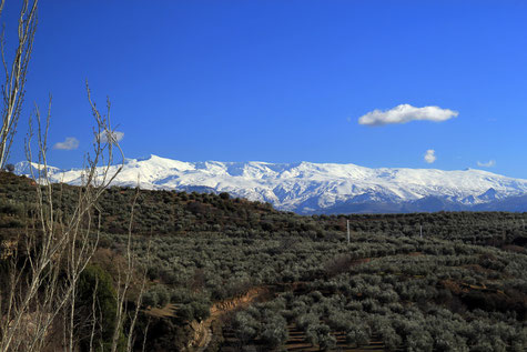
Photo Gallery of Nívar


Basic Information Nívar
Nívar (37°15′28″N
3°34′41″O)
Altitude: 1035 meters
Population: 920 inhabitants (2014)
Distances:
Distance to Granada: 13 km
Distance to the beach: 81 km
Distance to Airport Malaga: 143 km
Distance to Airport Granada: 24 km
Touristic level: low - medium - high
Authentic level: low - medium - high
Facilities:
- Supermarkets:
- Banks:
- Restaurants:
- Bars: