Natural Park Sierra de Huétor - Granada
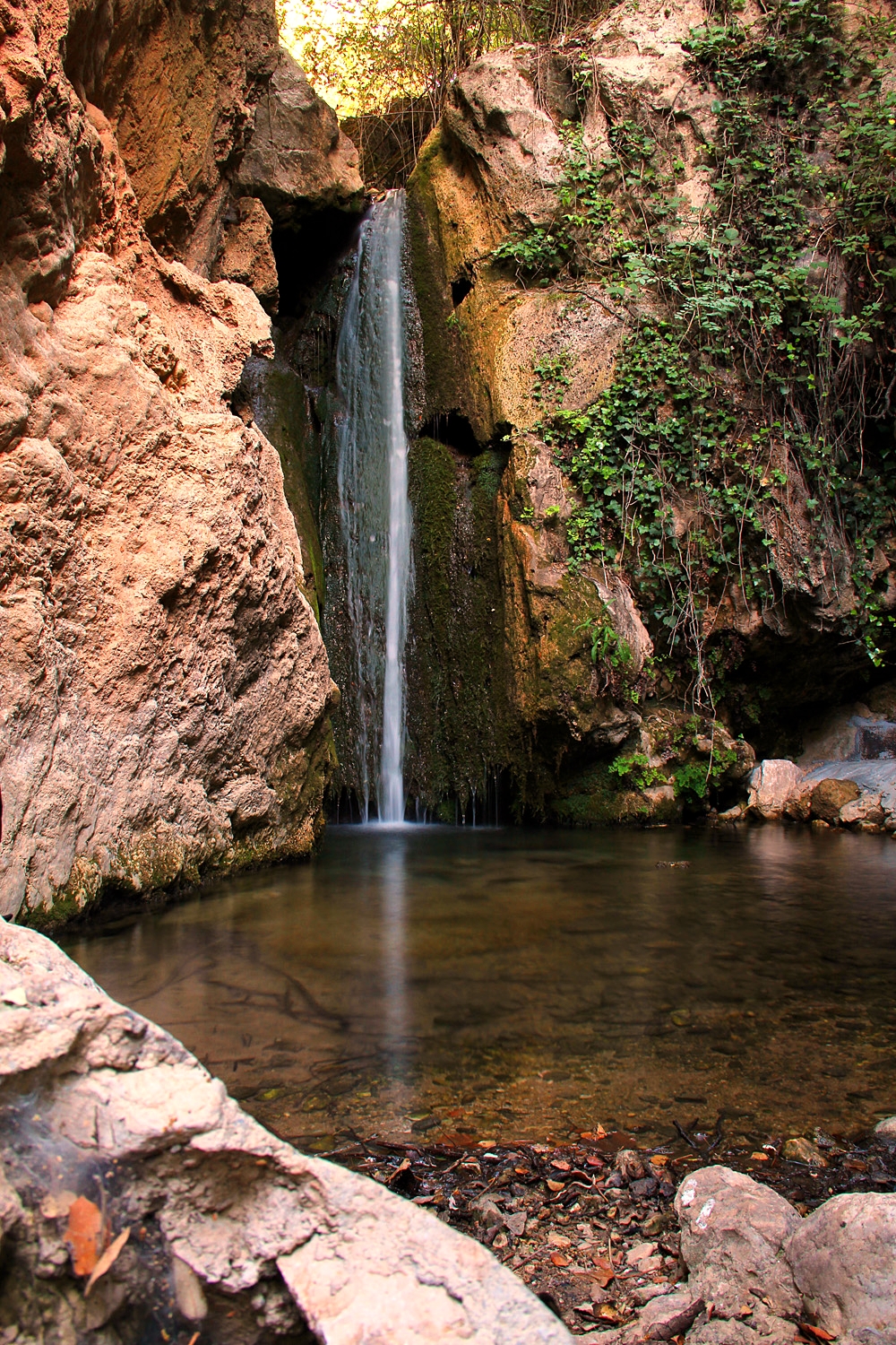
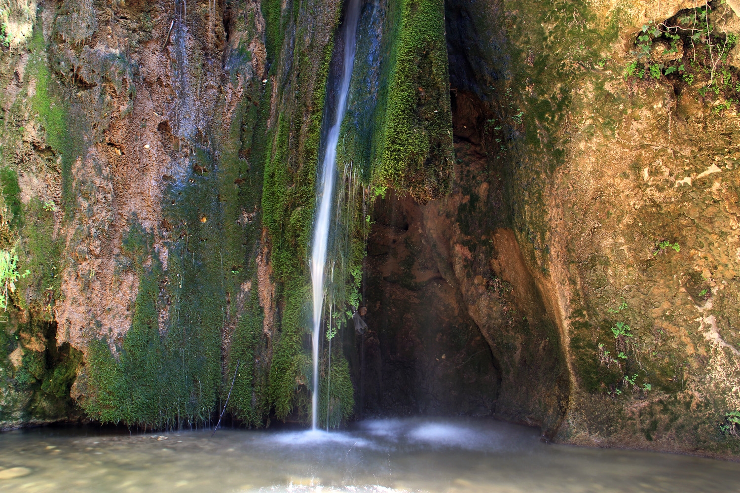
The natural park is located northeast of Granada and is 12.000 hectares big. The peaks ranging from 1100 to almost 1700 meters. The hills are covered with pine trees and several springs find their way down. The lime stone has created spectacular ravines and steep cliffs. A place to visit is the waterfall named "Padro Negro". A visitor center of the park is located in Puerto de Lobo. There are several marked trails and three picknick areas with tables and banks.

The Natural Caves in the Park
Hiking Trails Prepared by Trek Sierra Nevada
Trek Sierra Nevada is run by Ben and Rebecca, a British couple living and working in Granada. Since they arrived four years ago, they have immensely enjoyed exploring the surrounding area, which really is a paradise for hikers. Trek Sierra Nevada is providing detailed, easy-to-follow and accurate information in a standard format for a wide range of hiking routes in the Sierra Nevada and surrounding area.
1. Canada Sereno (Huétor - Santillán)
The trail is 12 km long with an altitude difference of 358 meters and will take 3h. Download here the trail in PDF or GPX/KML file.
The trail is 5,8 km long with an altitude difference of 345 meters and will take 2h. Download here the trail in PDF or GPX/KML file.
3. Cueva del Agua (Alfaguara picnic area)
The trail is 8 km long with an altitude difference of 340 meters and will take 2h. Download here the trail in PDF or GPX/KML file.
Hiking Trails from Top Walks
1. Acequia de Fardas (Las Limbres)
The trail is 4,5 km long with an altitude difference of 70 m and will take 1h 20. Download here the trail in GPX/KML file or see the map
2. Sendero Cañada del Sereno (Casa Forestal de los Peñoncillos)
The trail is 11 km long with an altitude difference of 200 m and will take 2,5h. Download here the trail in GPX/KML file or see the map
3. Cruz de Víznar (Centro de Visitantes Puerto Lobo)
The trail is 5,7 km long with an altitude difference of 215 m and will take 2h. See the map
4. Cerro del Maúllo (Centro de Visitantes Puerto Lobo)
The trail is 3,5 km long with an altitude difference of 70 m and will take 1h. Download here the trail in GPX/KML file or see the map