
The village is located 560 meters above sea level and has 165 inhabitants (2013). The village is forming together with the villages Restábal and Melegis, the municipality of El Valle.
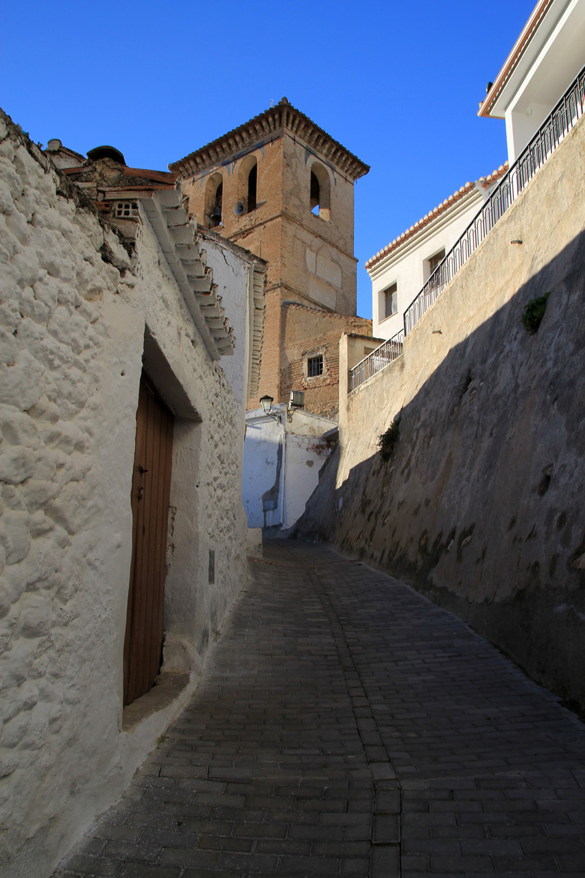
The village is situated on the left bank of the river Santo or Saleres between Restábal and Albunuelas. It has small, narrow and steep streets, in most of them you can not pass with you car. The climate is mild in winter and cool in summer is surrounded by orange trees, which makes the landscape unique.

Points of Interest in Saleres
- Church: Iglesia parroquial de Santiago el Mayor (1562);
- Canyon: Barranco de la Luna;
- Watch Tower;
- The streets of Saleres.

Festivities in Saleres
- On the 25th of July the festivities in honor of the Santiago apostle are held.
- In the first weekend of October the festivities of Virgen del Rosario are celebrated;

Photo Gallery of Saleres


Basic Information Saleres
Saleres (36°55′47″N 3°35′52″O)
Altitude: 560 meters
Population: 165 inhabitants (2013)
Distances:
Distance to Granada: 37 km
Distance to the beach: 42 km
Distance to Airport Malaga: 135 km
Distance to Airport Granada: 52 km
Touristic level: low - medium - high
Authentic level: low - medium - high
Facilities:
- Supermarkets: no
- Banks: yes
- Restaurants: yes
- Bars: yes