
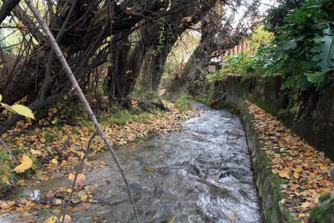
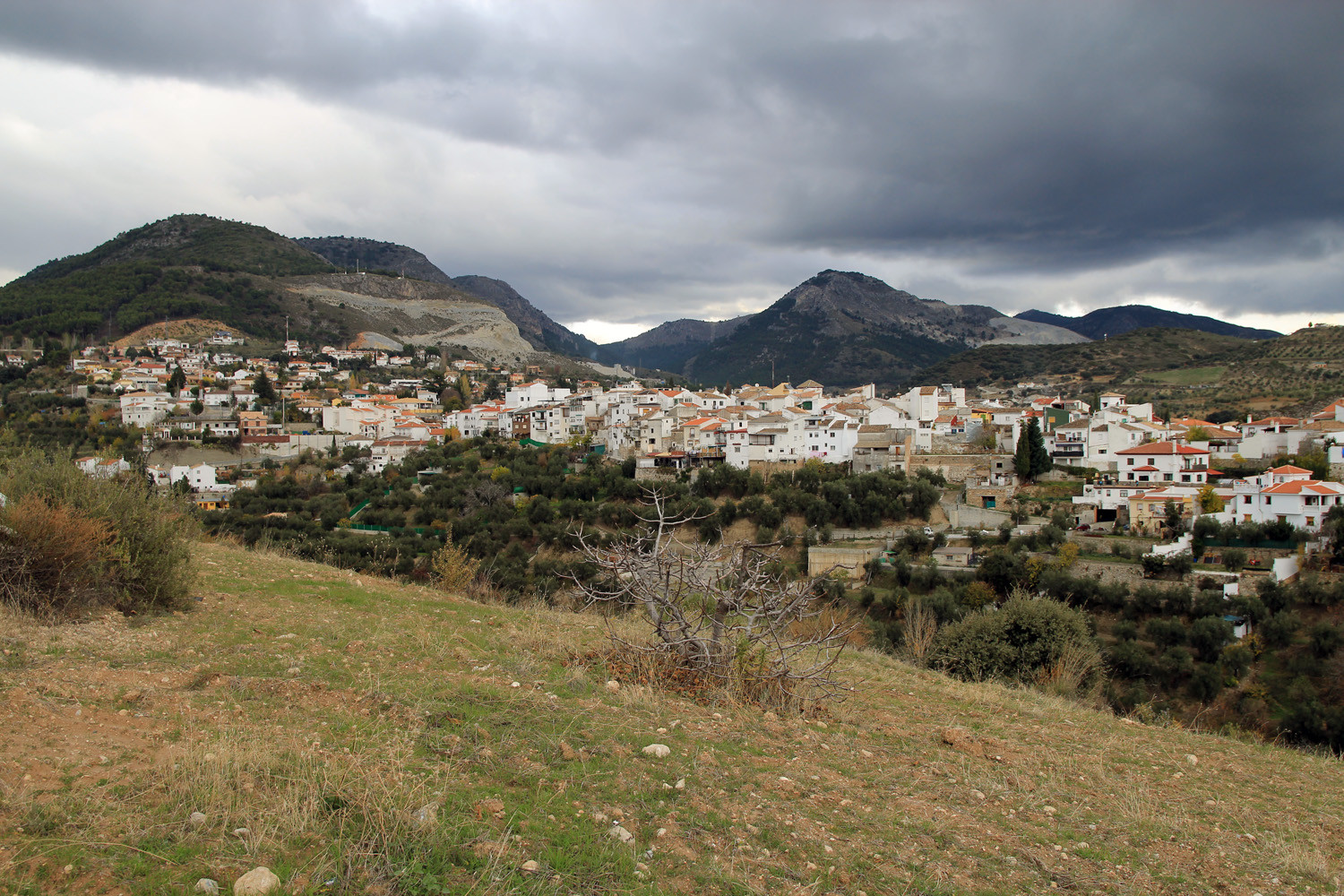
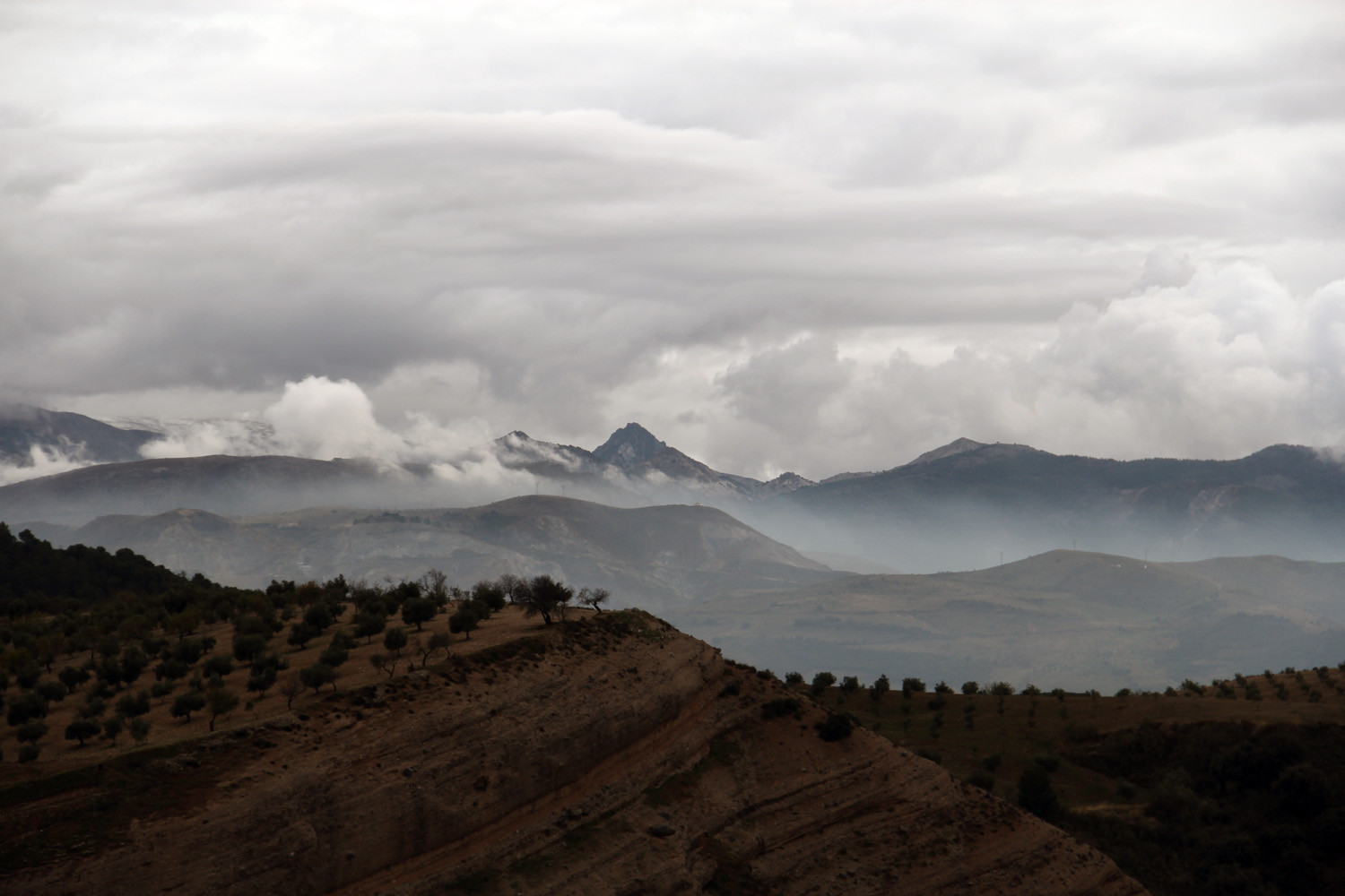
The village is situated at 1015 meters above sea level and has 1916 inhabitants (2013). Huétor Santillan contains beautiful places in its municipality like the spring "Fuente del Mora" and the popular "Venta del Molinillo" as well as the sources of the rivers Darro and Fardes, both originate at the same mountain. However the village is situated close to the capital, it is a good place to enjoy nature at its best.
Points of Interest in Huétor Santillán
- Chapel: Hermitage de la Virgen del Pilar;
- Chapel: Ermitas de Nuestra Señora de los Dolores y San Antonio de Padua;
- Parochial church of the Encarnacion (1619);
- Waterfall Padro Negro;
- Other Waterfalls Padro Negro;
- Park Natural Sierra de Huetor.

Festivities in Huétor Santillán
- On the 13th of June are the fiestas celebrated in honor of San Antonio, in the hermitage in Venta del Molinillo;
- On the 25th of July is celebrated in honor of Santiago Apostol in Prado Negro;
- At beginning of the month of August, the fiestas are celebrated in honor of San Sebastián.

Photo Gallery of Huétor Santillán


Basic Information Huétor Santillán
Huétor Santillán (37°13′07″N 3°31′02″O)
Altitude: 1015 meters
Population: 1.916 inhabitants (2014)
Distances:
Distance to Granada: 15 km
Distance to the beach: 91 km
Distance to Airport Malaga: 148 km
Distance to Airport Granada: 29 km
Touristic level: low - medium - high
Authentic level: low - medium - high
Facilities:
- Supermarkets: yes
- Banks: yes
- Restaurants: yes
- Bars: yes