
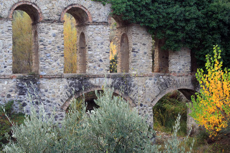
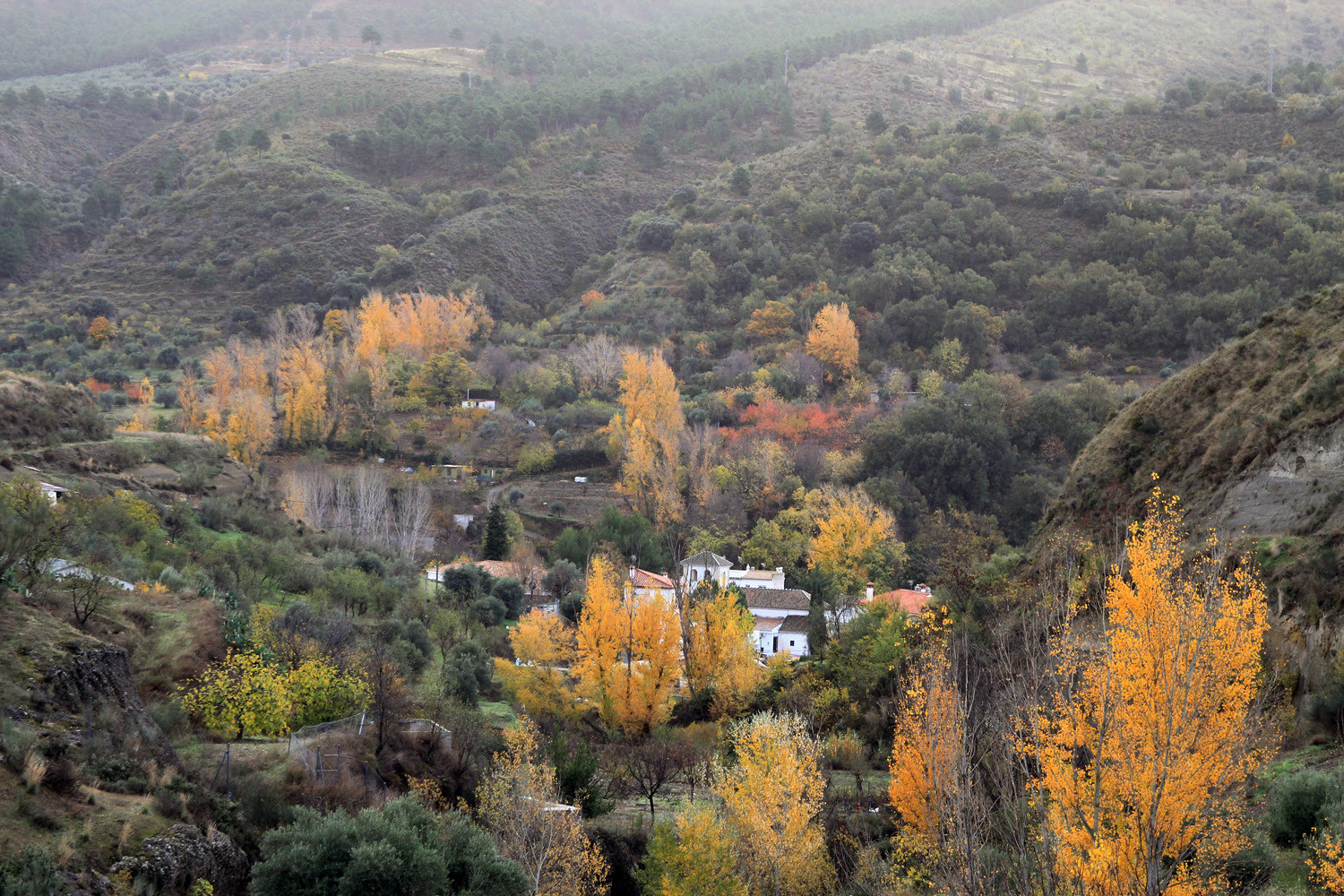
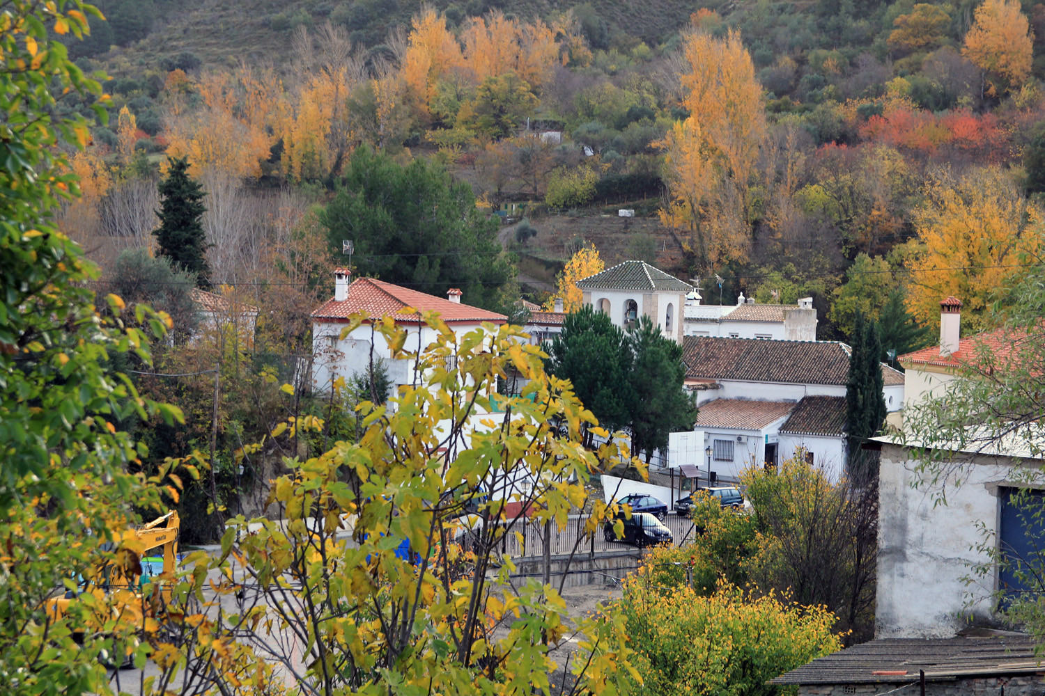
The village is situated at 810 meters above sea level and has 340 inhabitants (2014). It is located between the mountains of Natural Park Sierra Nevada and the Natural Park Sierra de Huétor. Although Dúdar is very close to the capital, it has beautiful natural landscapes that offers outstanding hiking or simply walking tours. The mountains next to the village hide a beautiful historic monument; a aqueduct, which has been made by the French in order to redirect the water that was neede to exploit the gold mines of the Alhambra siutated in Cebes de la Vega..
Points of Interest in Dúdar
- French Canal, a large hydraulic work of the nineteenth century, out of the time of the Napoleonic invasion;
- Aqueduct;
- Church: Iglesia Parroquial de la Inmaculada Concepción de Maria (17th century and kept in very good condition).

Festivities in Dúdar
- Fiestas de San Blas: the 3rd of February;
- Feast of the Virgen del Carmen: the 16th of July;
- Romería del Santo Almecí: the 1st of November.

Photo Gallery Dúdar


Basic Information Dúdar
Dúdar (37°11′09″N
3°29′05″O)
Altitude: 810 meters
Population: 340 (2014)
Distances:
Distance to Granada: 20 km
Distance to the beach: 76 km
Distance to Airport Malaga: 154 km
Distance to Airport Granada: 35 km
Touristic level: low - medium - high
Authentic level: low - medium - high
Facilities:
- Supermarkets:
- Banks:
- Restaurants:
- Bars: yes