
The village is situated at 873 meters above sea level and has 1825 inhabitants (2014). There has been human settlement from early prehistoric times. Numerous remains have been found in what is now the municipality, especially from the Bronze Age. Currently many families of Granada have chosen this village to build their second home.
A great part of the municipality is situated inside Natural Park Sierra Nevada, so it is a perfect basis for starting your hiking or mountain bike excursions. At the Dilar river is a nice recreational area with tables and benches for your picnic.

Points of Interest in Dílar
- Church: Iglesia parroquial de Santa María de la Concepción (17th century);
- Chapel: Santuario-ermita de Ntra. Sra. de las Nieves (1796);
- Castle: Castillo del primer marqués de Dílar (1888);
- Hiking routes;
- Natural Park Sierra Nevada (including Veleta 3398 meters):
- Natural Rock Arch: Piedra Ventana;
- River Dílar (see also the special photo gallery below) where also the recreational area is situated;
- Olive Oil Factory Almanzara Quaryat.

Festivities in Dílar
- On the 2nd of January the party of the books and "mosto" is taken place.
- On the 20th of January the patron of the village "San Sebastian" is celebrated.
- Around the 27th of March Eastern is celebrated;
- On the 25th of April San Marcos is celebrated.
- On the 14/15th of August is celebrated in honor of "Virgen de las Nieves"
- On the 1st of November the party of the chestnuts.

Photo Gallery of Dílar


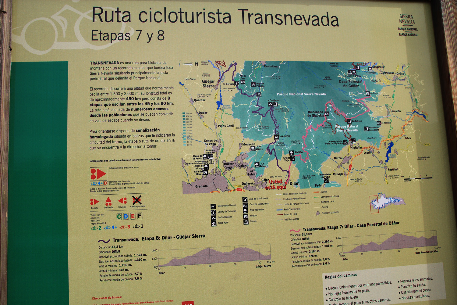


Photo Gallery River Dílar (Natural Park Sierra Nevada)


Basic Information Dílar
Dílar (37°04′34″N 3°36′08″O)
Altitude: 873 meters
Population: 1.825 inhabitants (2014)
Distances:
Distance to Granada: 17 km
Distance to the beach: 60 km
Distance to Airport Malaga: 154 km
Distance to Airport Granada: 32 km
Touristic level: low - medium - high
Authentic level: low - medium - high
Facilities:
- Supermarkets: yes
- Banks: yes
- Restaurants: yes
- Bars: yes