
On a tombnamestone of the Roman period the name Calicatro which can be identified with the current Calicasas, was found with other names of nearby towns . In the period of Moorish occupation we find the name of Quarynat-Al-Qannar next to Galiqayay which in Arabic means "Casas del gallo". After the expulsion of the Moors and the conquest of Granada, it was named as Cal and Casas referring to the many limestone quarries that existed in their jurisdiction.
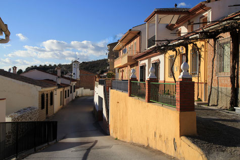
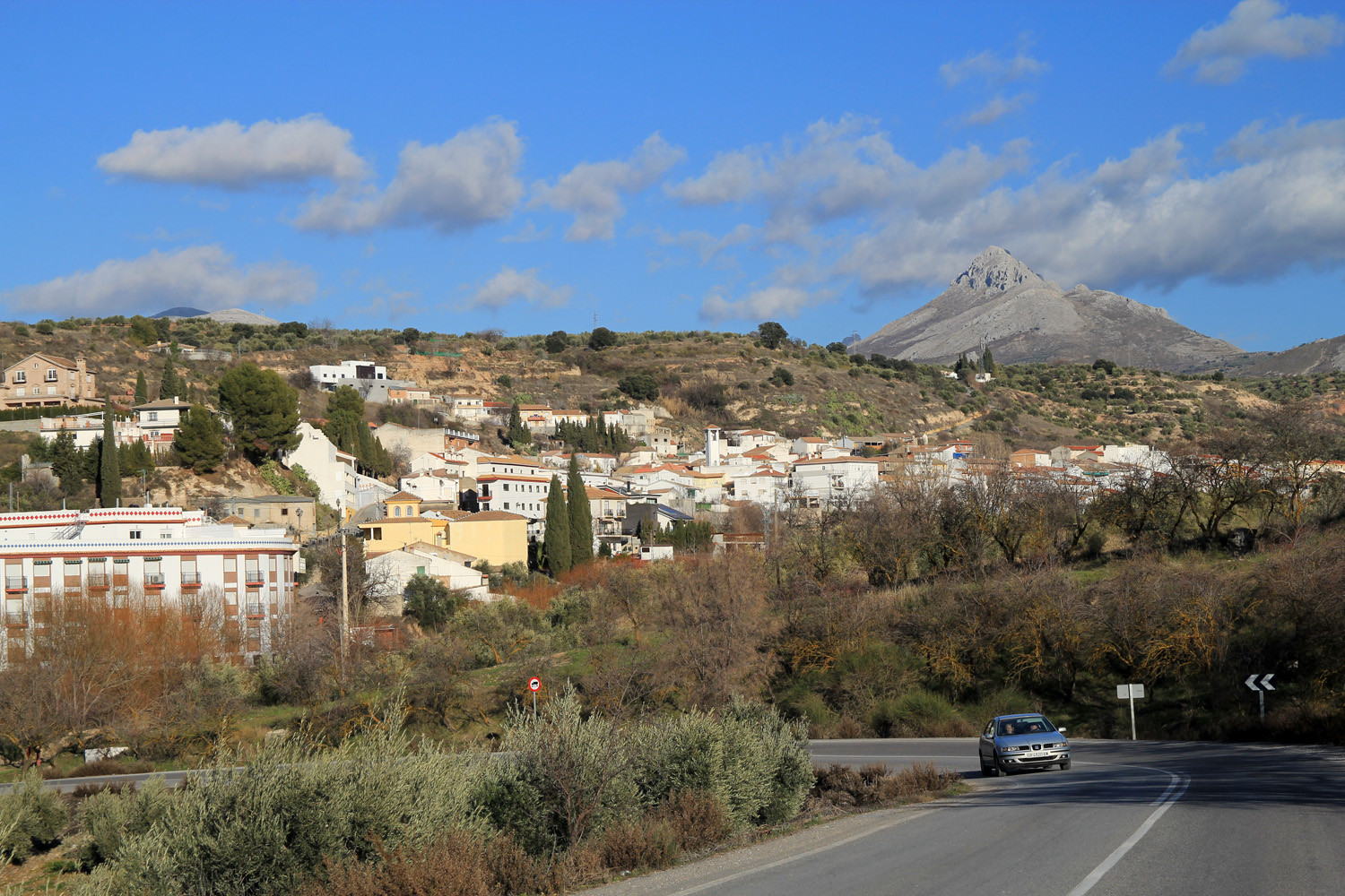
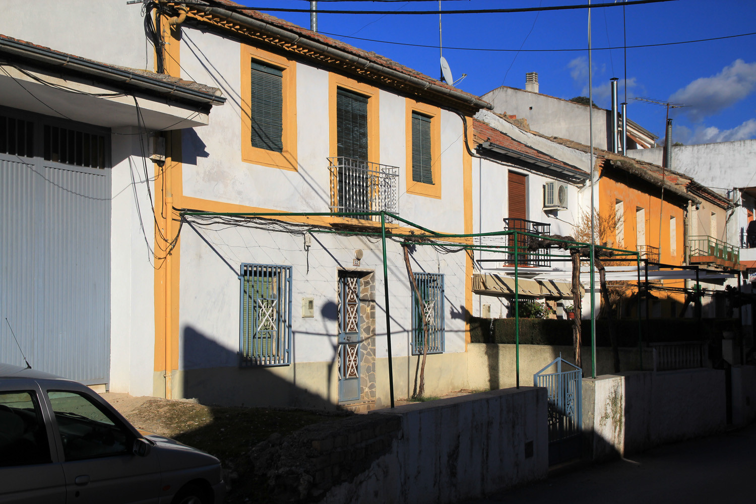
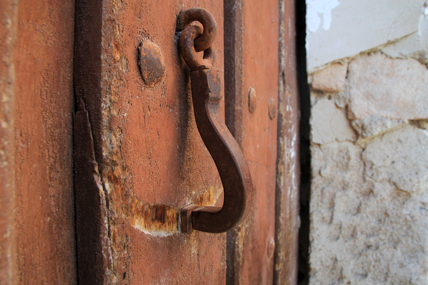
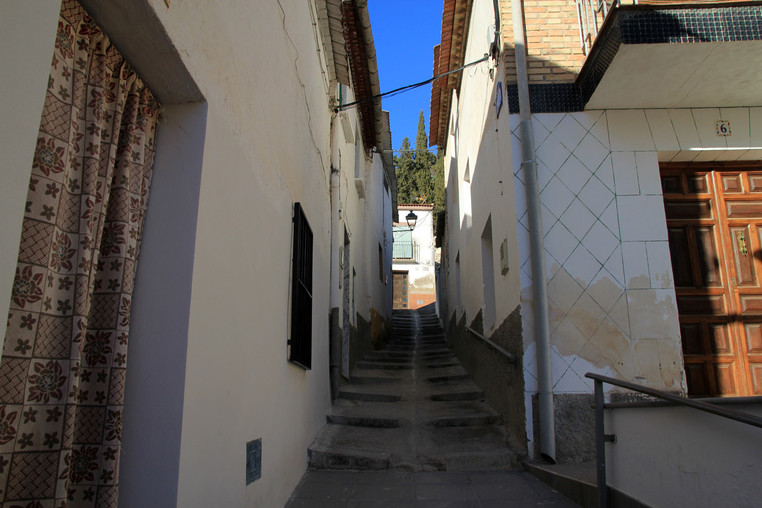
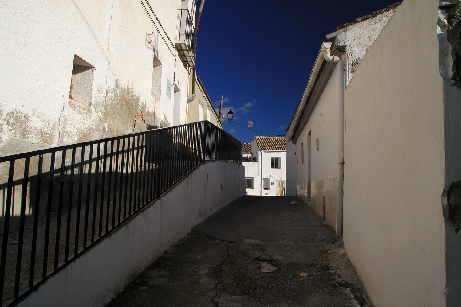
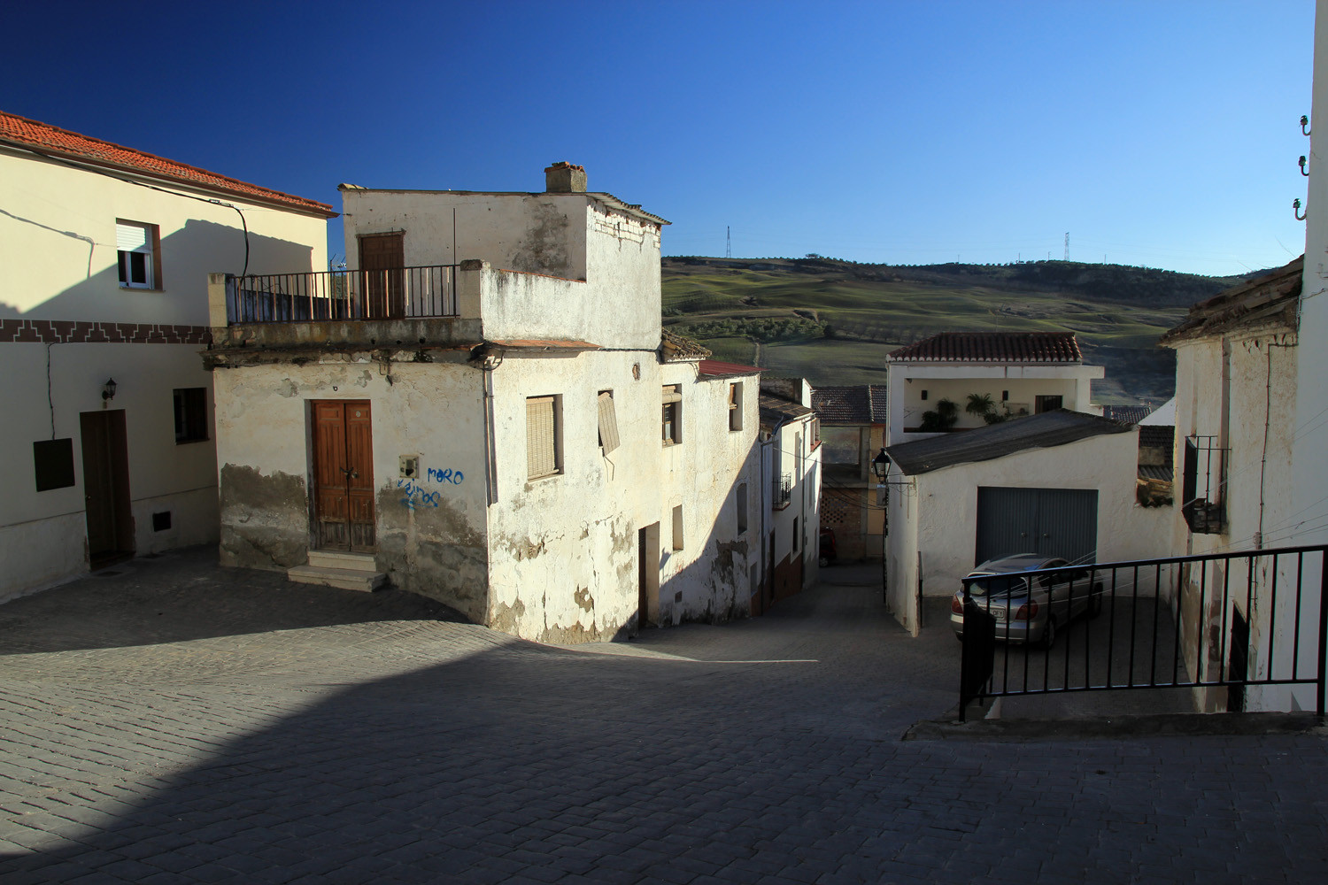
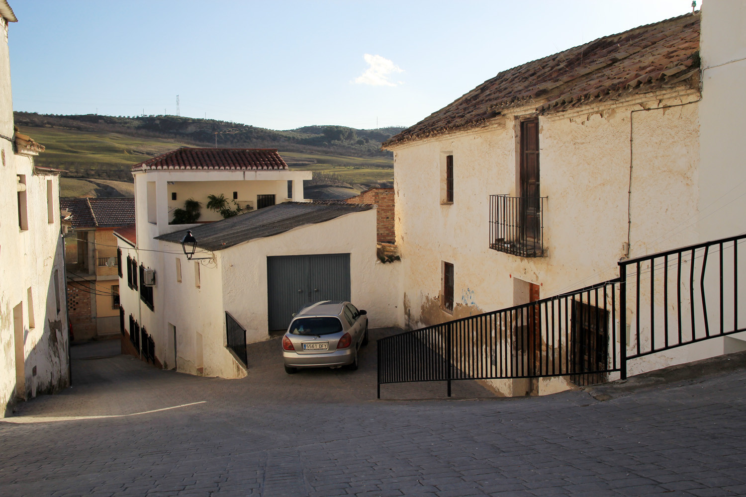
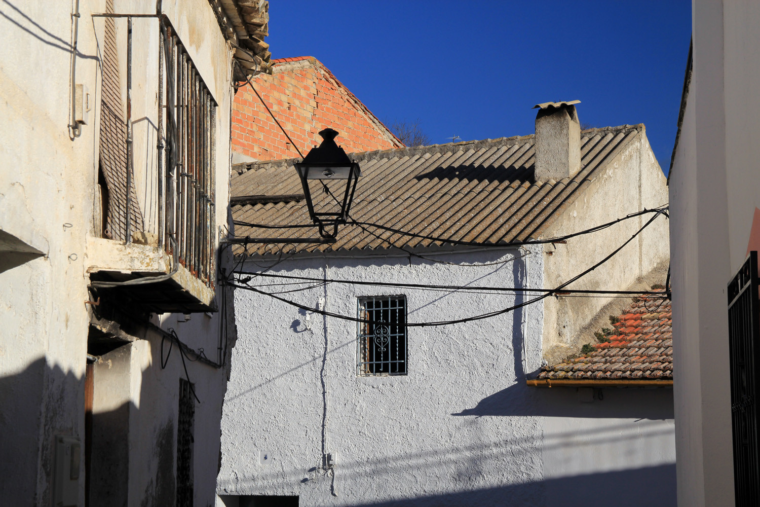
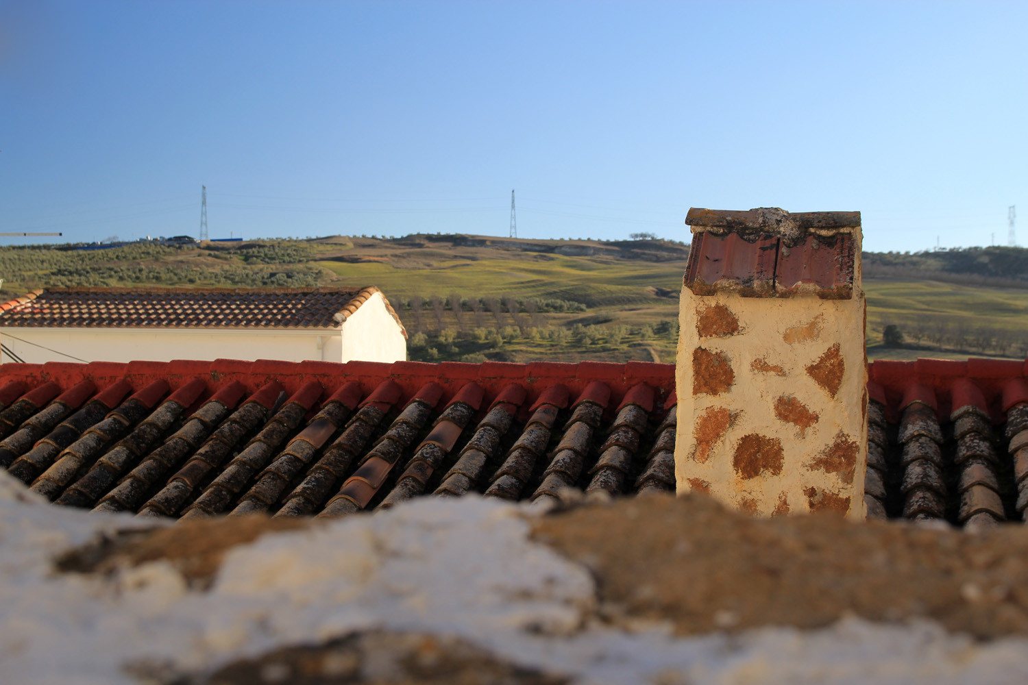
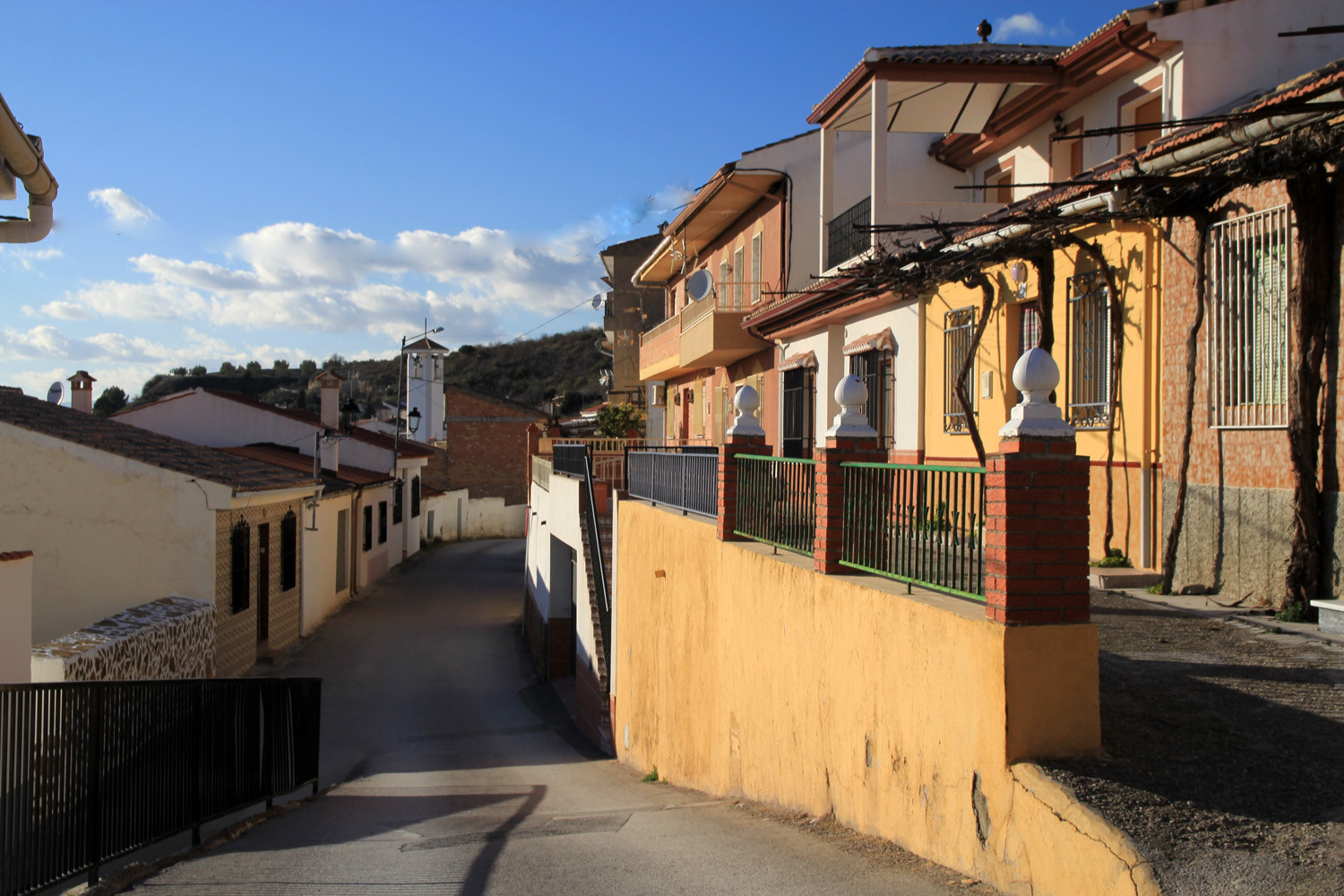
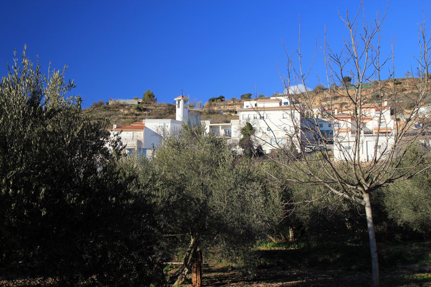
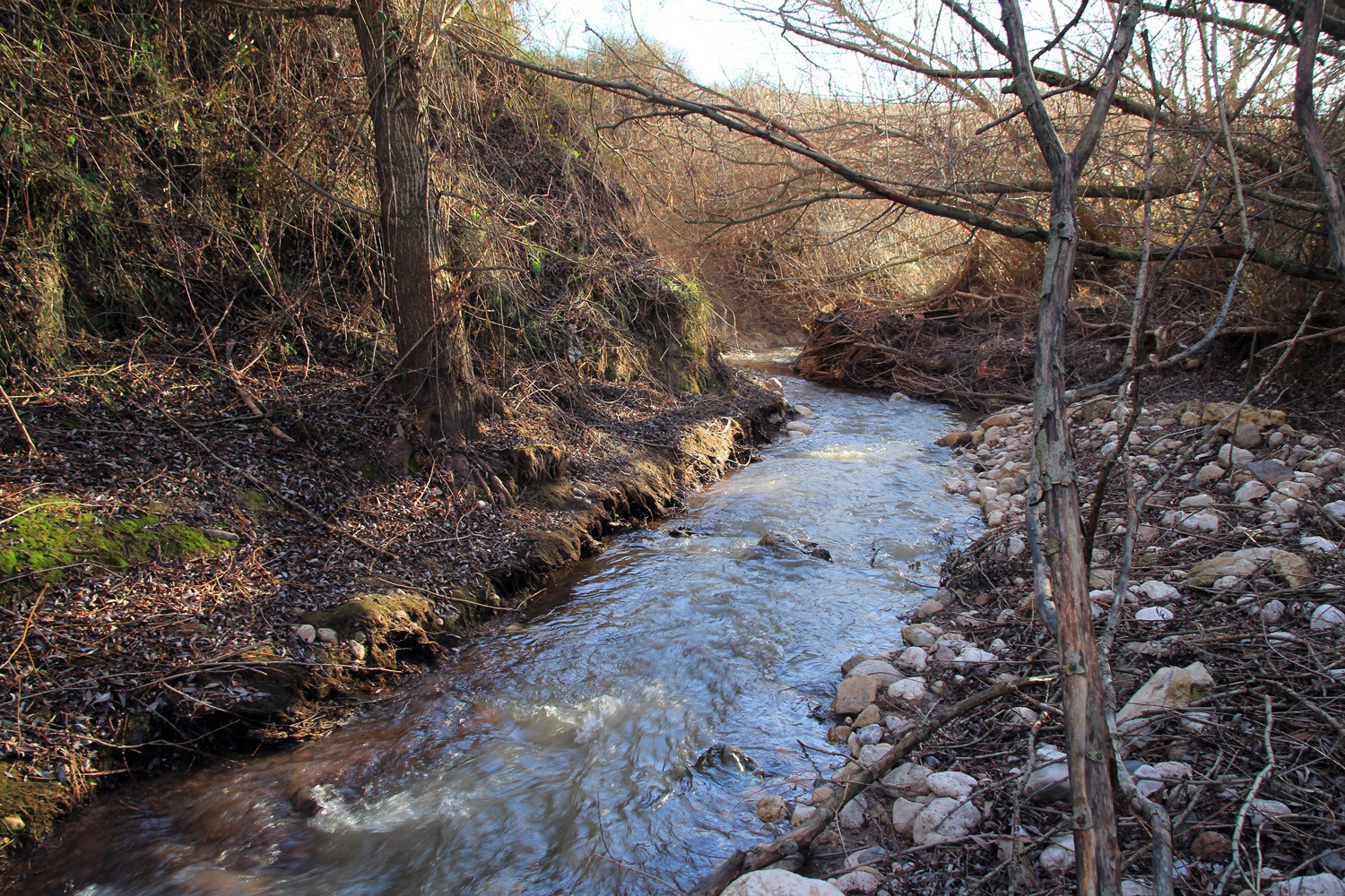
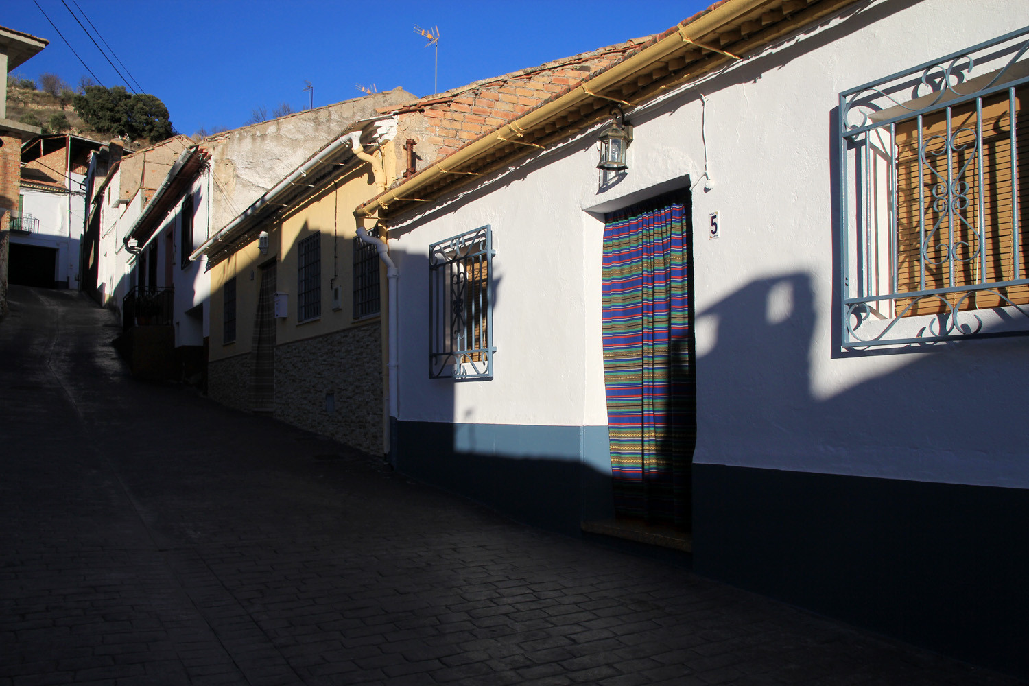
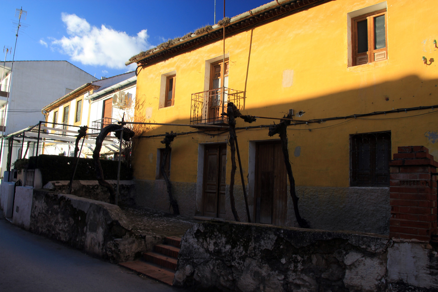
Calicasas is in the space that has traditionally been known as Granada's Campana because it was the space were still the bell of the Torre de la Vela of the Alhambra was heart. The town has narrow streets and is crossed by the river Bermejo. The village is surrounded by green and natural spaces which makes it ideal for people who love the countryside.
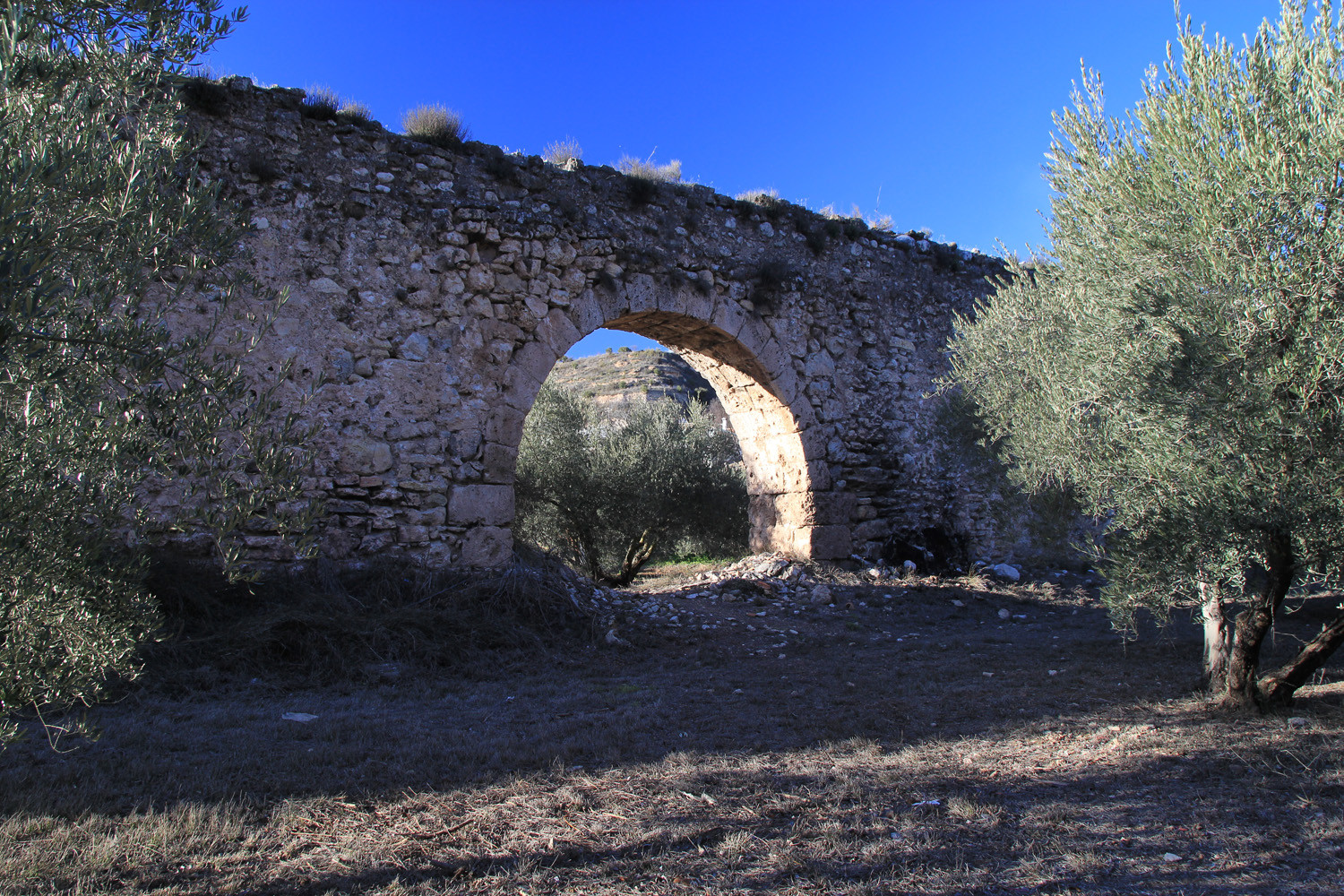
Points of Interest in Calicasas
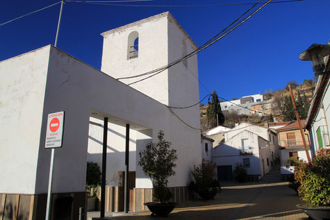
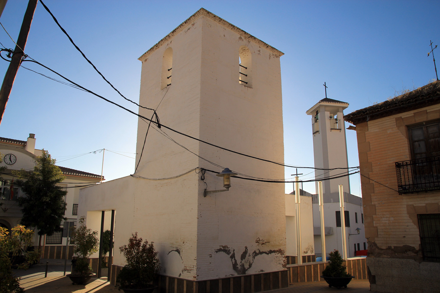
- Tower of the old church;
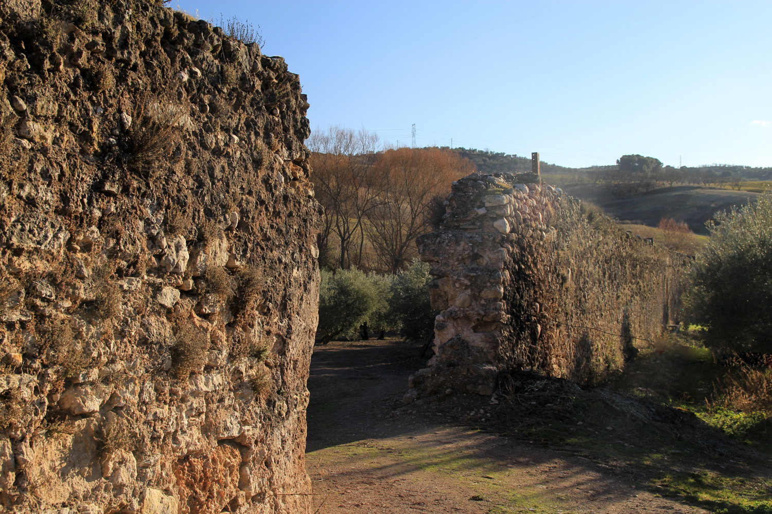
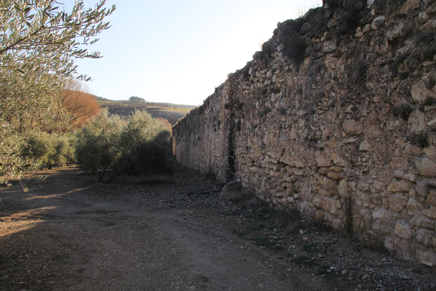
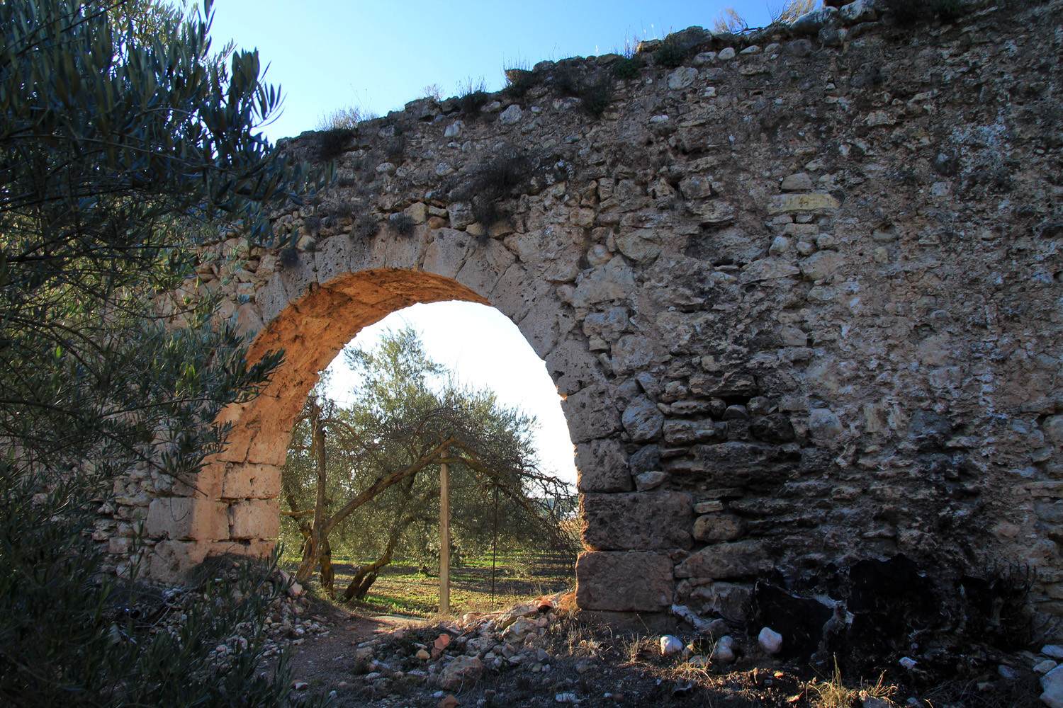
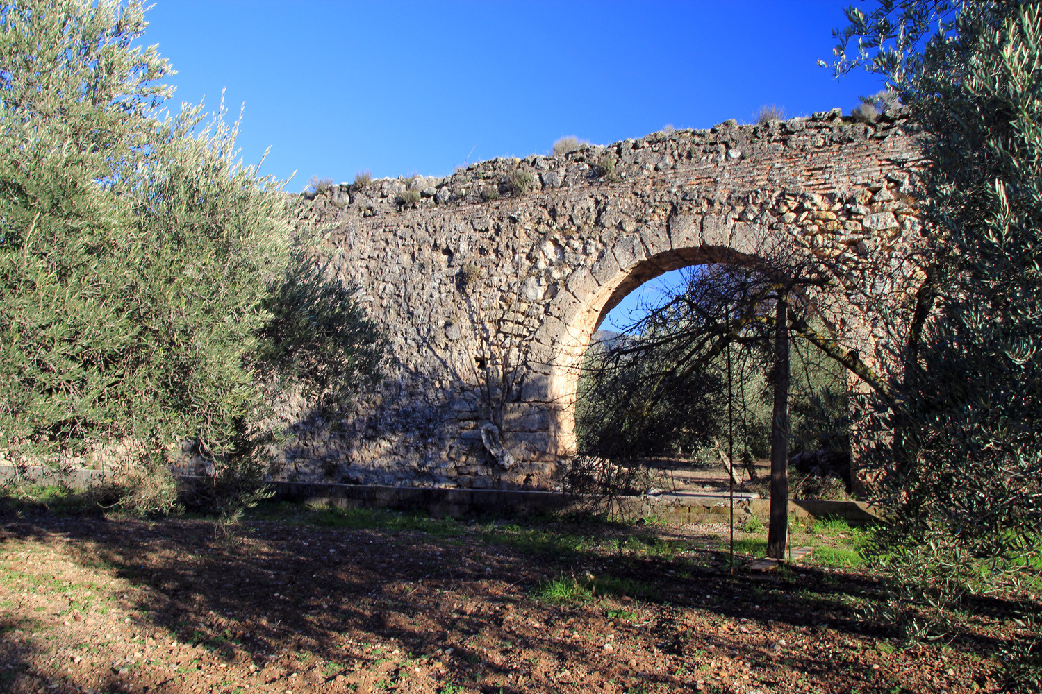
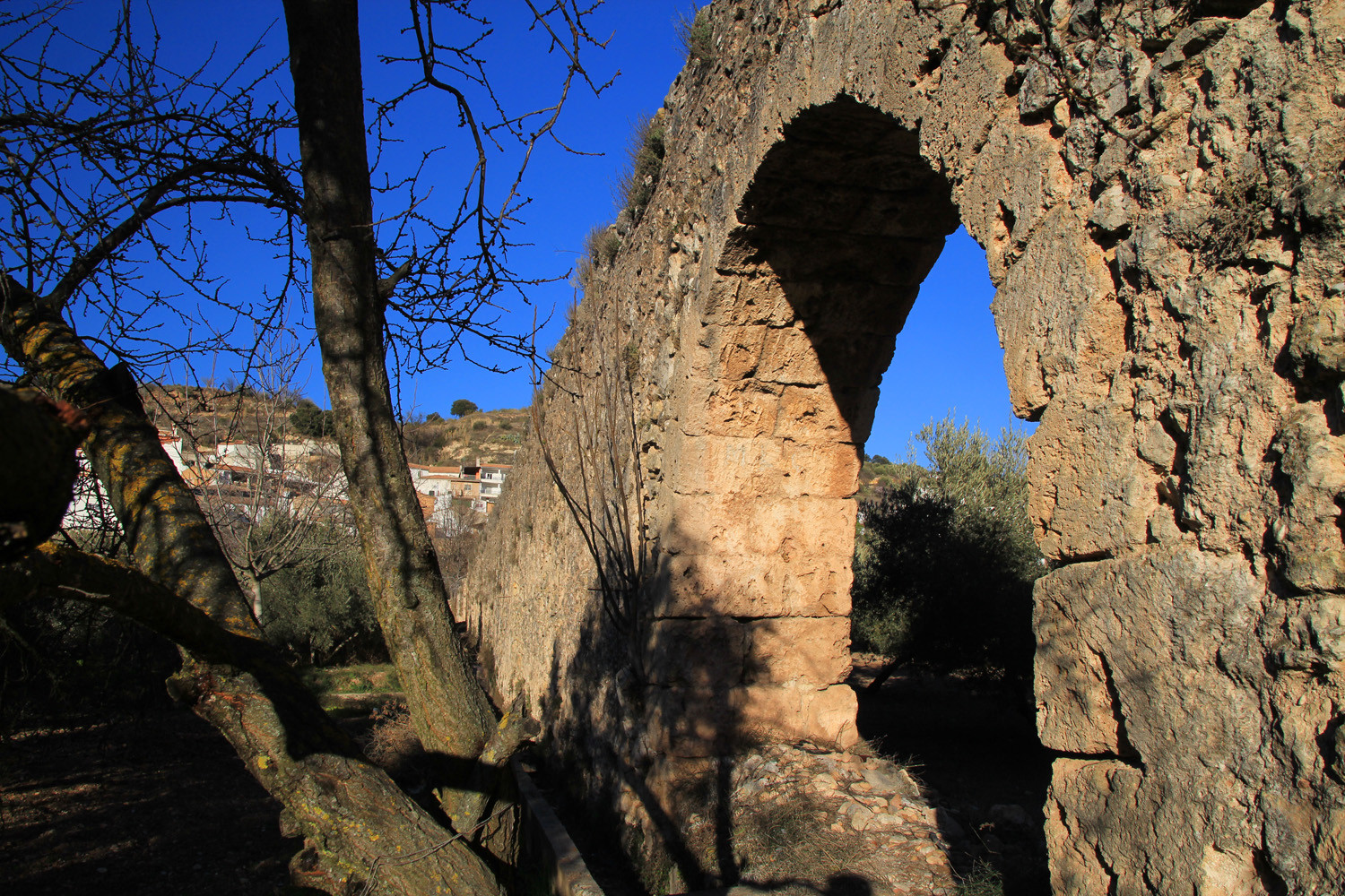
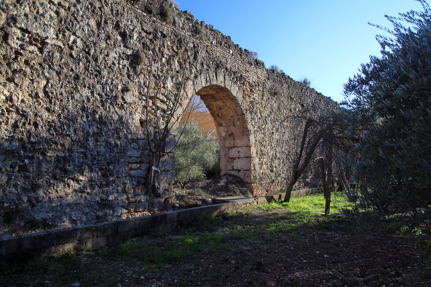
- Aqueduct;
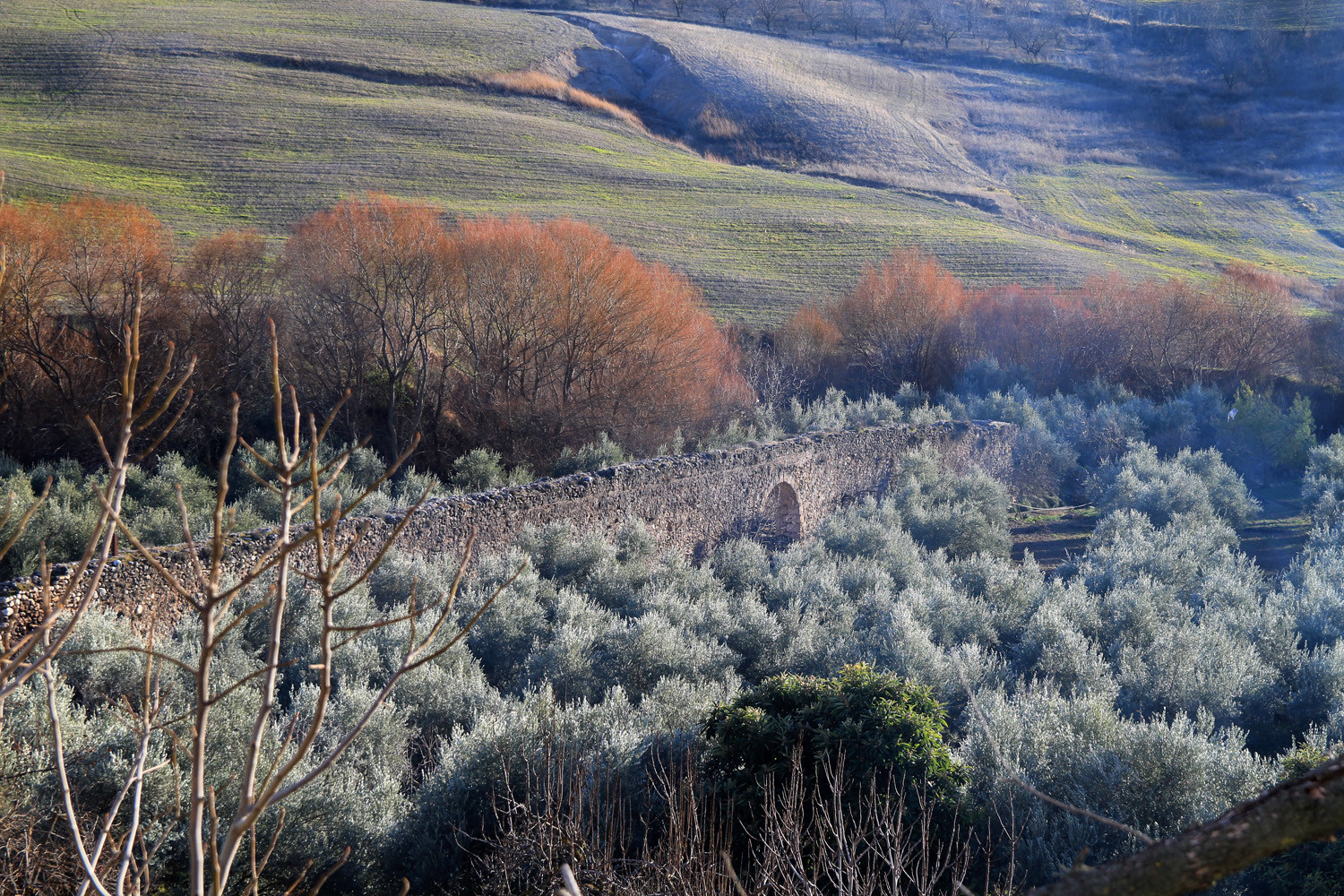
- Roman bridge: "Arco Romano";
- The river.
Festivities in Calicasas
- Around the 22nd of August the festivities in honor of la Señora del Rosario are celebrated (3 days).
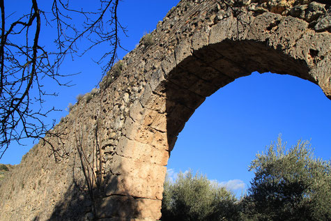
Photo Gallery of Calicasas


Basic Information Calicasas
Calicasas (37°16′24″N 3°37′07″O)
Altitude: 758 meters
Population: 553 inhabitants (2014)
Distances:
Distance to Granada: 18 km
Distance to the beach: 82 km
Distance to Airport Malaga: 140 km
Distance to Airport Granada: 21 km
Touristic level: low - medium - high
Authentic level: low - medium - high
Facilities:
- Supermarkets: no
- Banks: no
- Restaurants: no
- Bars: yes