
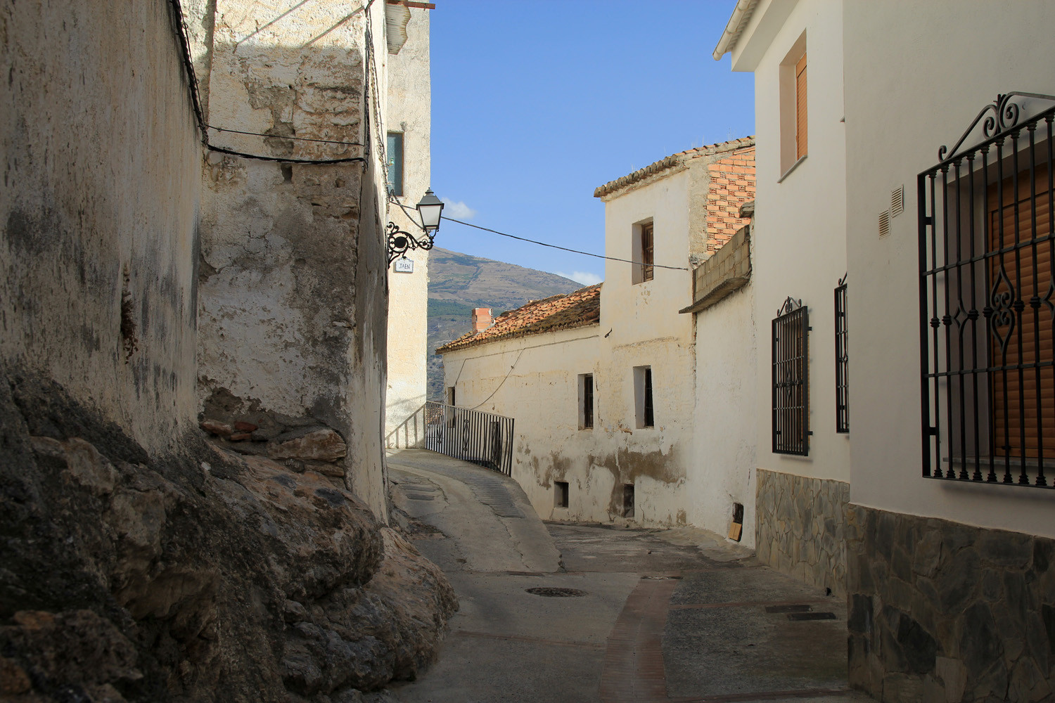
The village is located 705 meters above sea level and has 771 inhabitants (2012). Since 1976 the village is, together with the villages Pinos de Valle and Acebuches, forming the municipality El Pinar. The village consists of three neighborhoods: the Barrio Bajo, Bairro Alto and Las Eras. Each neighborhood has its own ancient church. After the great earthquake of December 25, 1884, SM King Alfonso XII ordered to reconstruct the village in advantage of the people of the poorer classes. Since then they called it "Pinos del Rey", a name it would have until the Franco dictatorship changed it to that of Pinos del Valle. The village has numerous springs that supplies its fruitful lands. Among the agricultural resources are olives, almonds and citrus fruits.
Points of Interest in Pinos del Valle
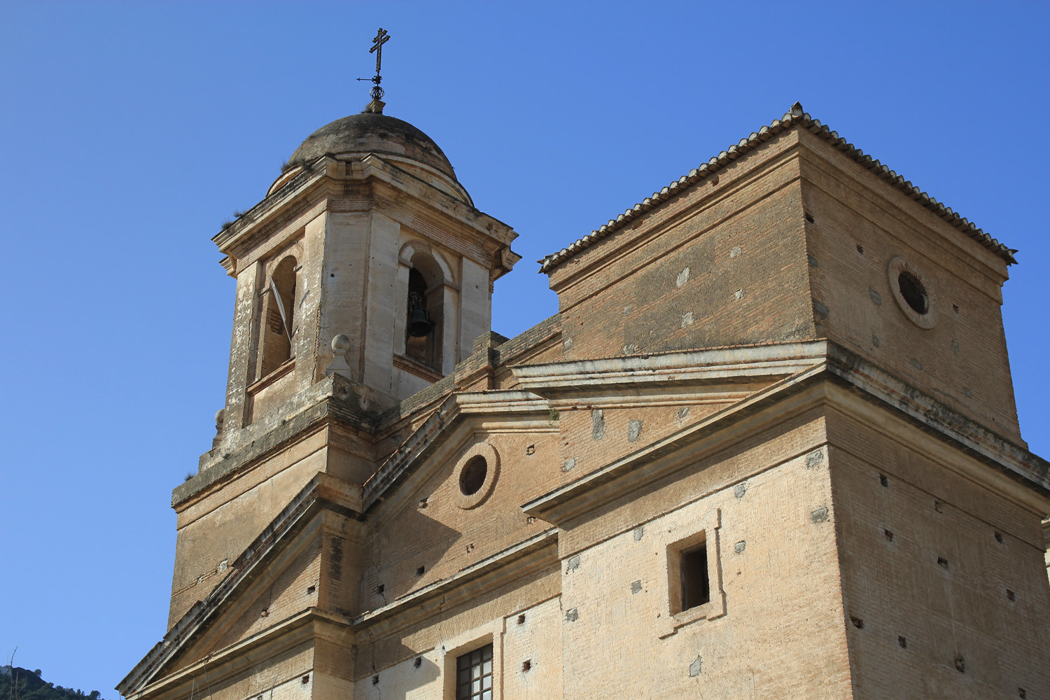
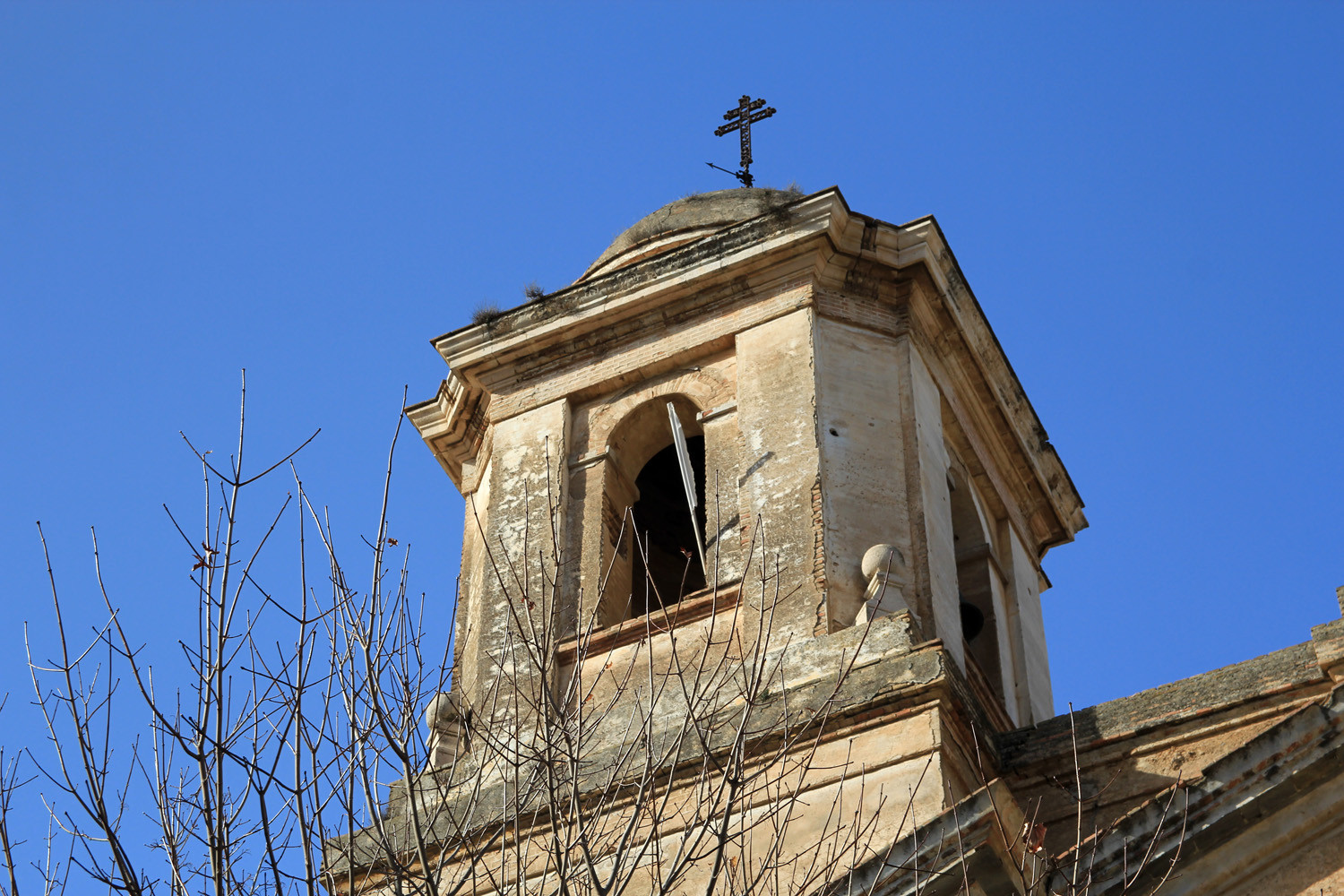
- Church: Iglesia de San Sebastian (19th century) in the district Barrio Alto;
- Church: Iglesia parroquial de la Inmaculada 16th century) in the district Barrio Bajo;
- Chapel: Ermita del Cristo del Zapato located on the top of the mountain Chinchirina (1925);
- The stately homes of the 18th and 19th centuries;
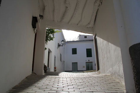
- "Tinaos" (covered streets with blanked wooden roofs);

Festivities in Pinos del Valle
- The festivities in honor of la Cruz and Santo Cristo del Zapato are celebrated from the 1st till the 3rd of May;
- The festivities in honor of the patrons San Roque, San Sebastian and la Virgen are celebrated from the 14th till the 17th of August;
- In the beginning of October the traditional "Castañada" is celebrated;
- The night of the Saints is celebrated on the 31st of October.

Photo Gallery of Pinos de Valle


Basic Information Pinos del Valle
Pinos del Valle (36°54′42″N
3°33′14″O)
Altitude: 705 meters
Population: 771 inhabitants (2012)
Distances:
Distance to Granada: 43 km
Distance to the beach: 35 km
Distance to Airport Malaga: 128 km
Distance to Airport Granada: 58 km
Touristic level: low - medium - high
Authentic level: low - medium - high
Facilities:
- Supermarkets: yes
- Banks: yes
- Restaurants: yes
- Bars: yes