
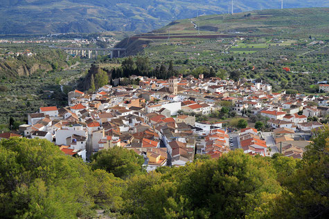
The village is located 926 meters above sea level and has 1238 inhabitants (2013). Niguëlas is located at the foot of the Sierra Nevada. The rivers Torrente is crossing Cerro del Caballo. From here several canals irrigate part of the Valley. A great part of the municpality is inside the Natural Park Sierra Nevada. There is a nice hiking route that goes along the river Torrente and the Cahorras.

Festivities in Niguëlas
- On the 25th of April San Marcos is celebrated;
- The festivities in honor of the patron are held in September.

Points of Interest in Niguëlas
- Jardin Müller
- Palacio de verano de los Zayas (16th century);
- Museum: Museo Almazara de Las Laerillas;
- Church: Iglesia San Juan Bautista (16th century);
- Oil mill: Almazara (15th century);
- Well: Aljibe de origen árabe in calle Cruz;
- Arabic Tower;
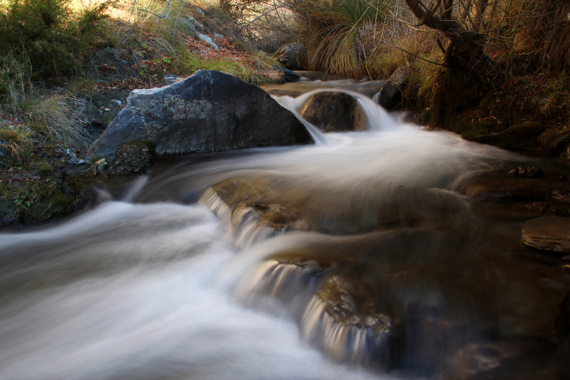
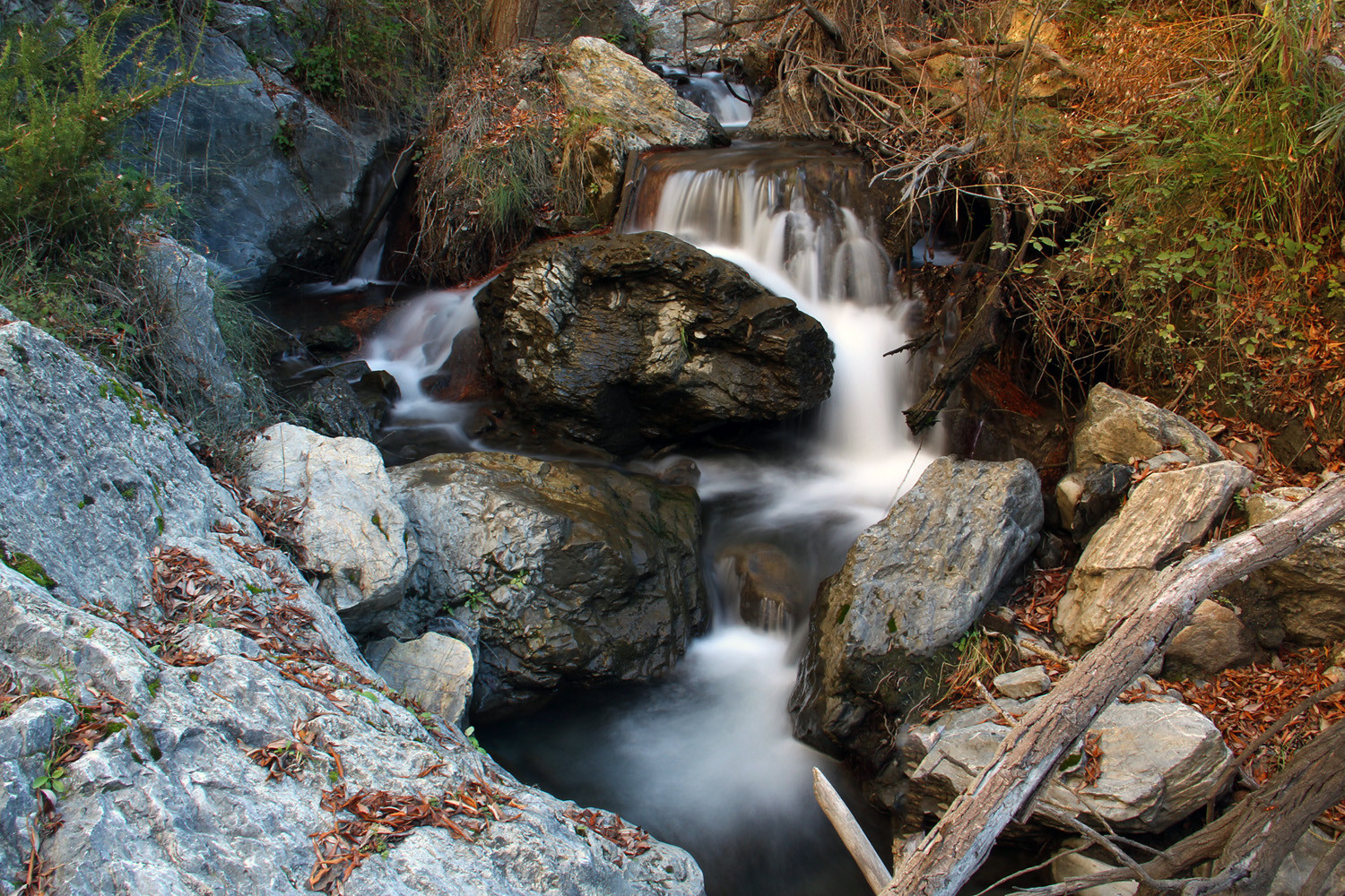
- Rio Torrente;
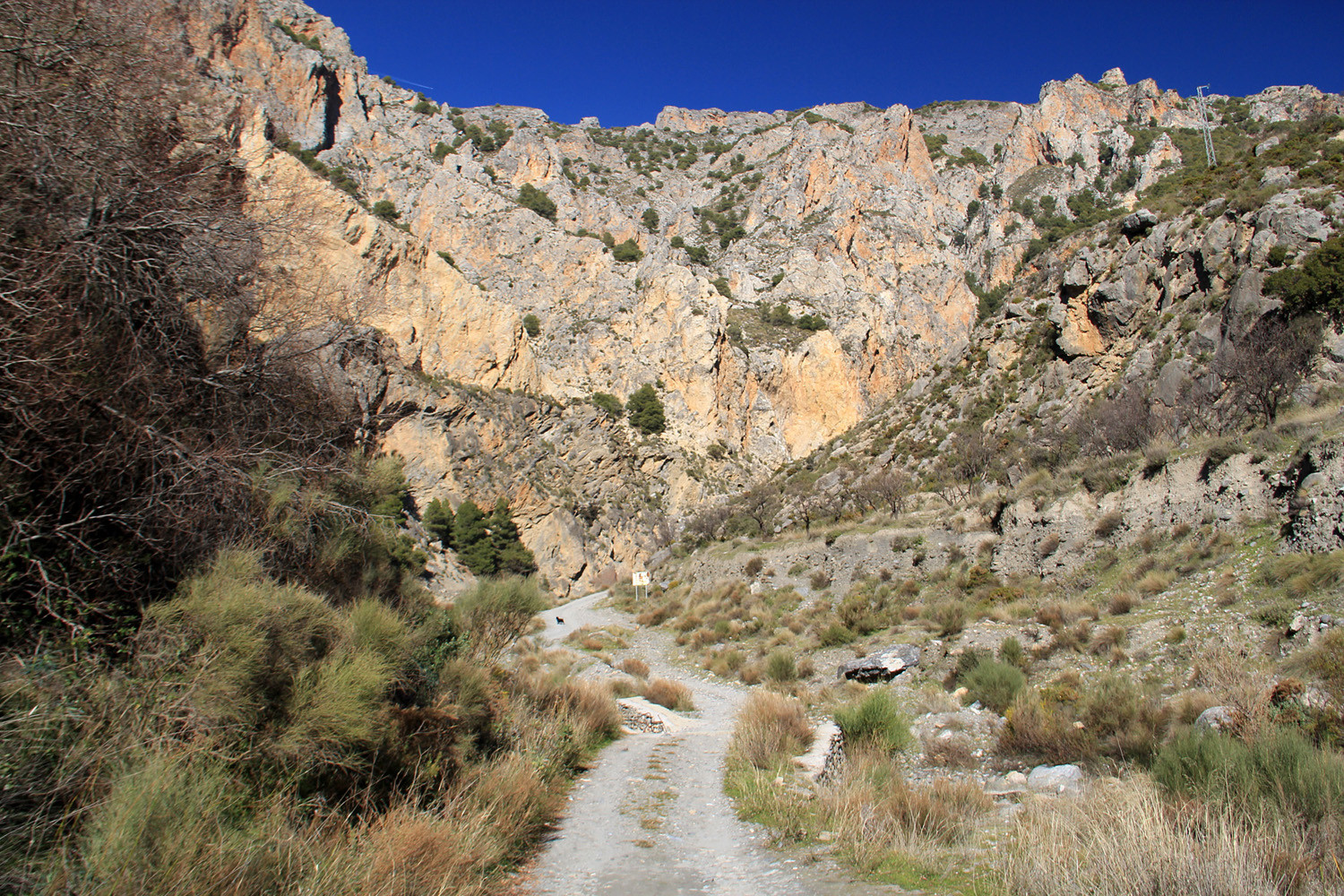
- Canyon "Los Cahorros de Nigüelas;
- Waterfalls of de los Cahorros;
- Natural Monument "Falla de Niguëlas;
- Natural Park Sierra Nevada;
- Molinos Canario, Vizco, Alto, Lorenzo;
- Viewpoint: Mirador de la Razuela;
- La Pavilla: village walking route;
- Rutas de senderismo "Pura Vida";
- Guided Tour Cervezas Mulhacén - Nigüelas.
Photo Gallery of Niguëlas


Photo Gallery Torrente River (Natural Park Sierra Nevada)


Basic Information Niguëlas
Niguëlas (36°58′35″N 3°32′26″O)
Altitude: 926 meters
Population: 1238 inhabitants (2013)
Distances:
Distance to Granada: 38 km
Distance to the beach: 41 km
Distance to Airport Malaga: 133 km
Distance to Airport Granada: 50 km
Touristic level: low - medium - high
Authentic level: low - medium - high
Facilities:
- Supermarkets: yes
- Banks: yes
- Restaurants: yes
- Bars: yes