
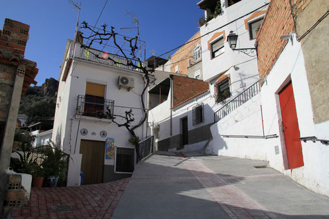
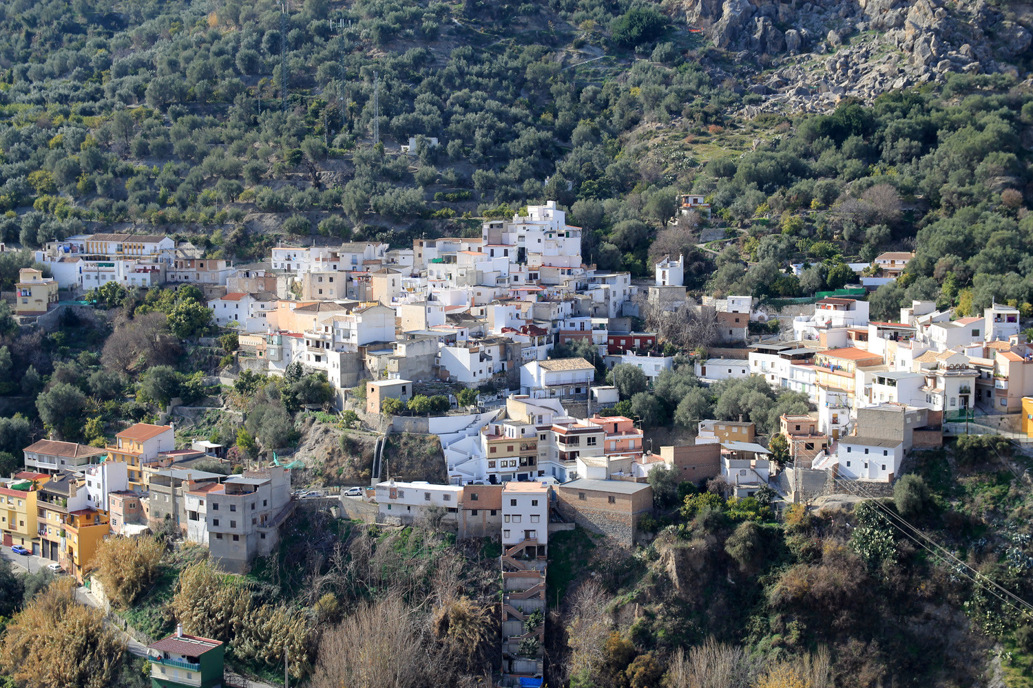
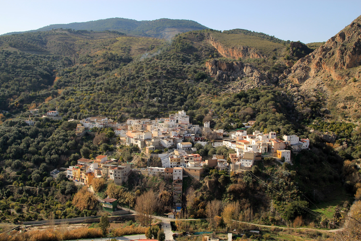
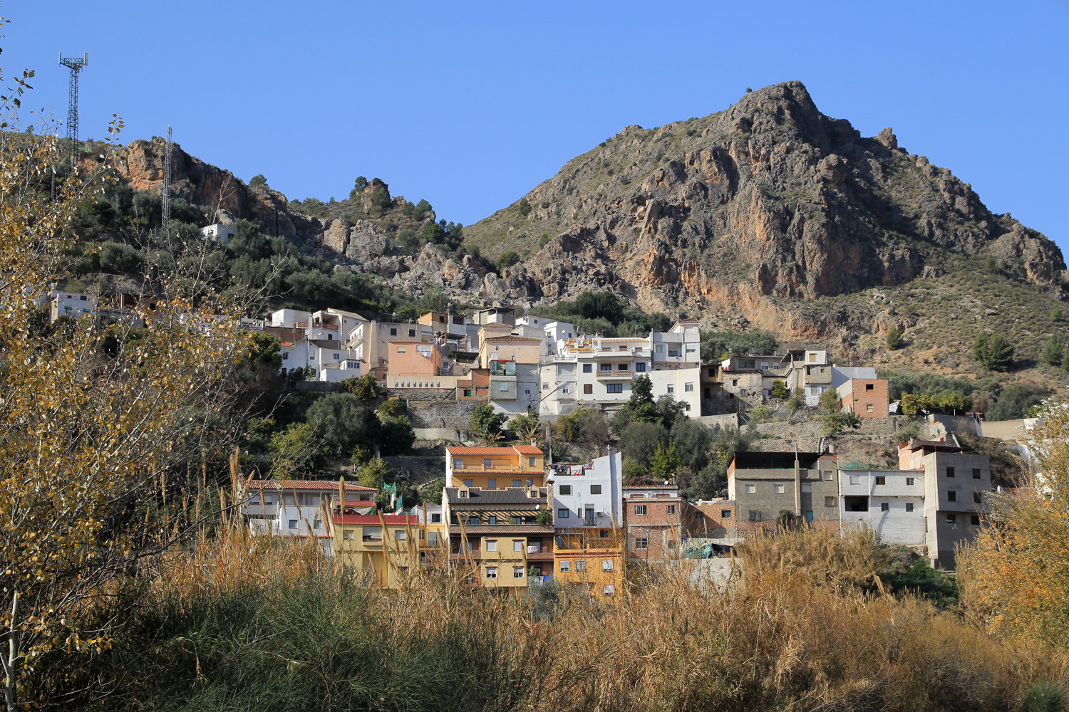
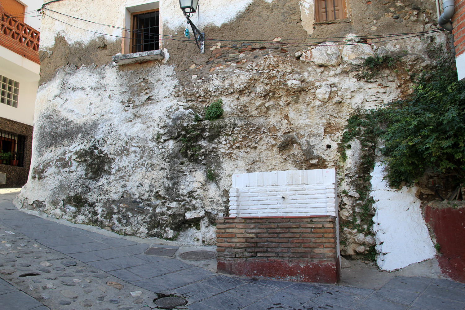
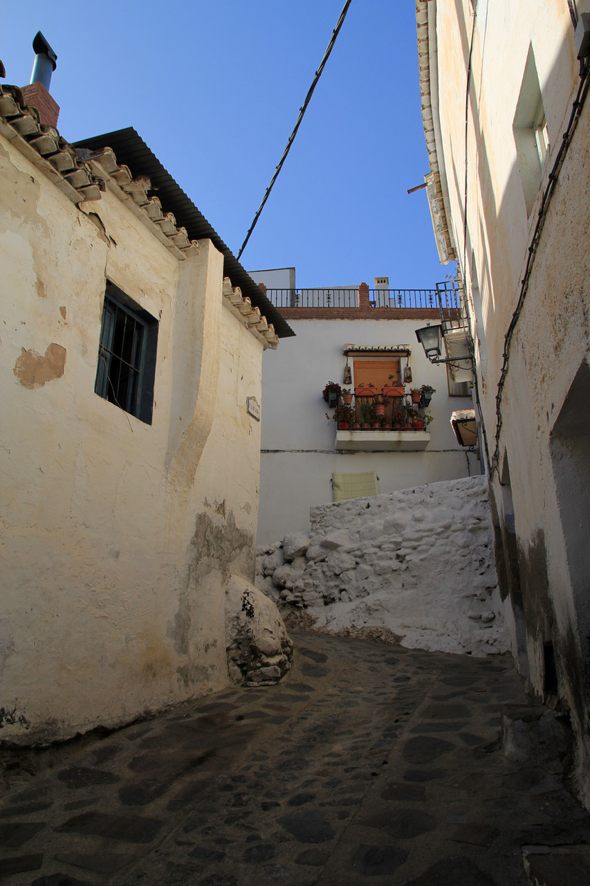
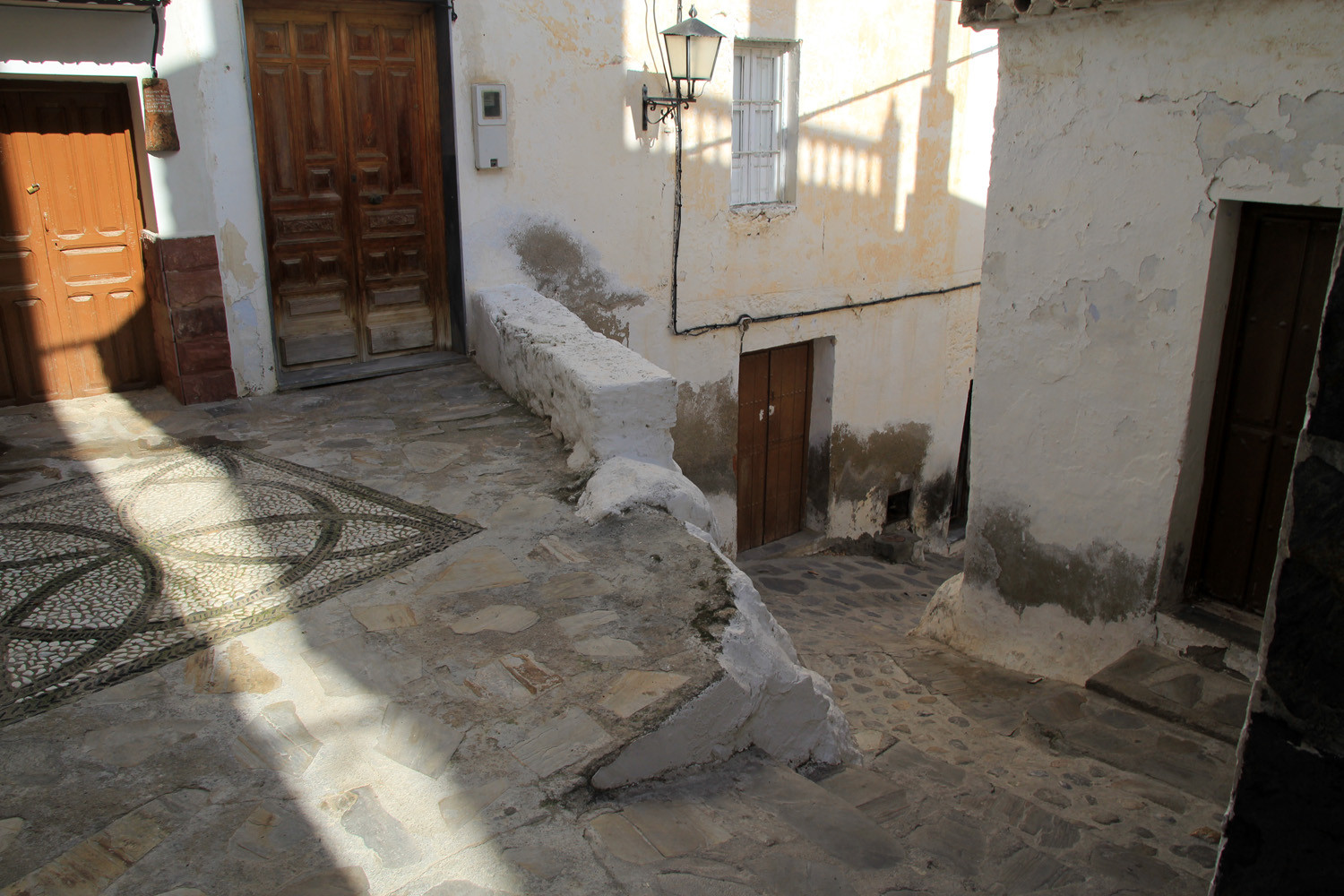
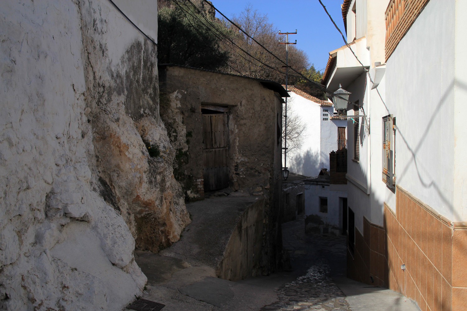
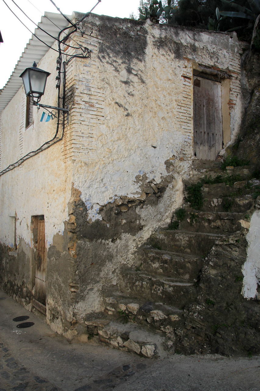
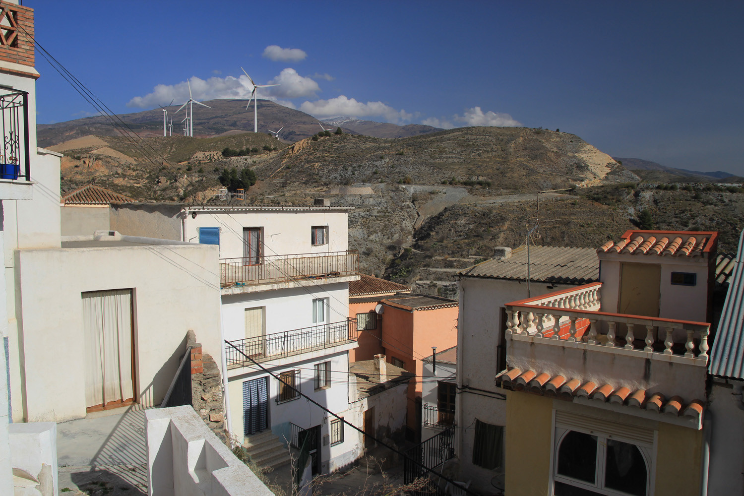
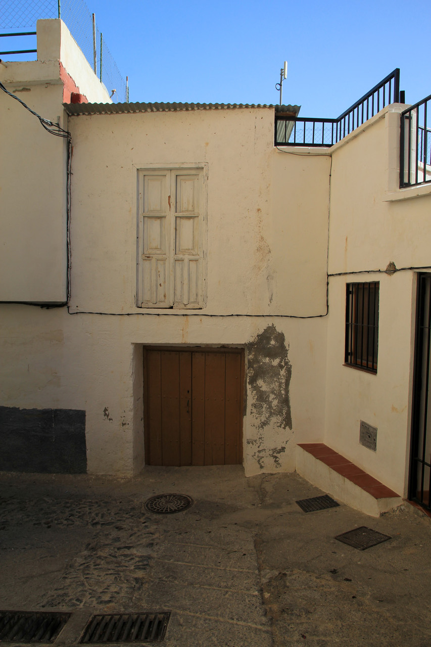
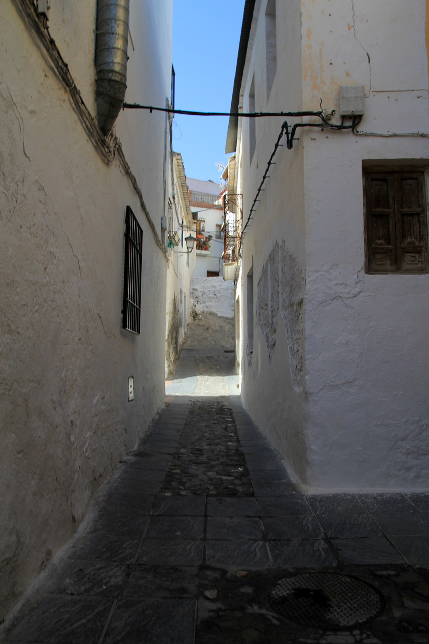
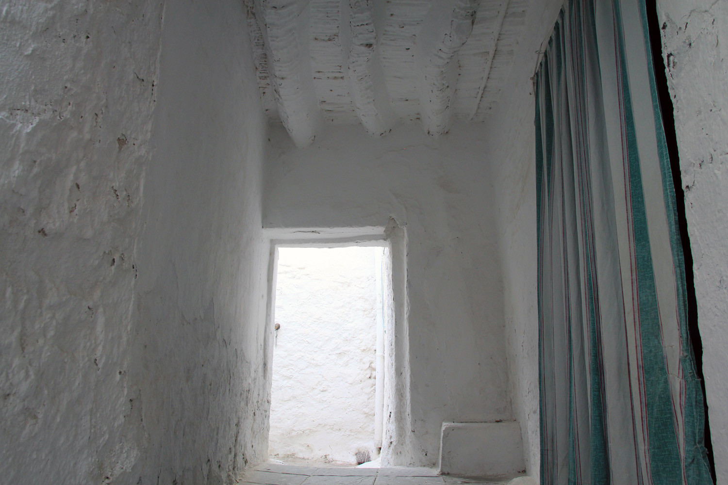
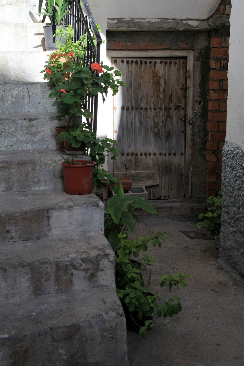
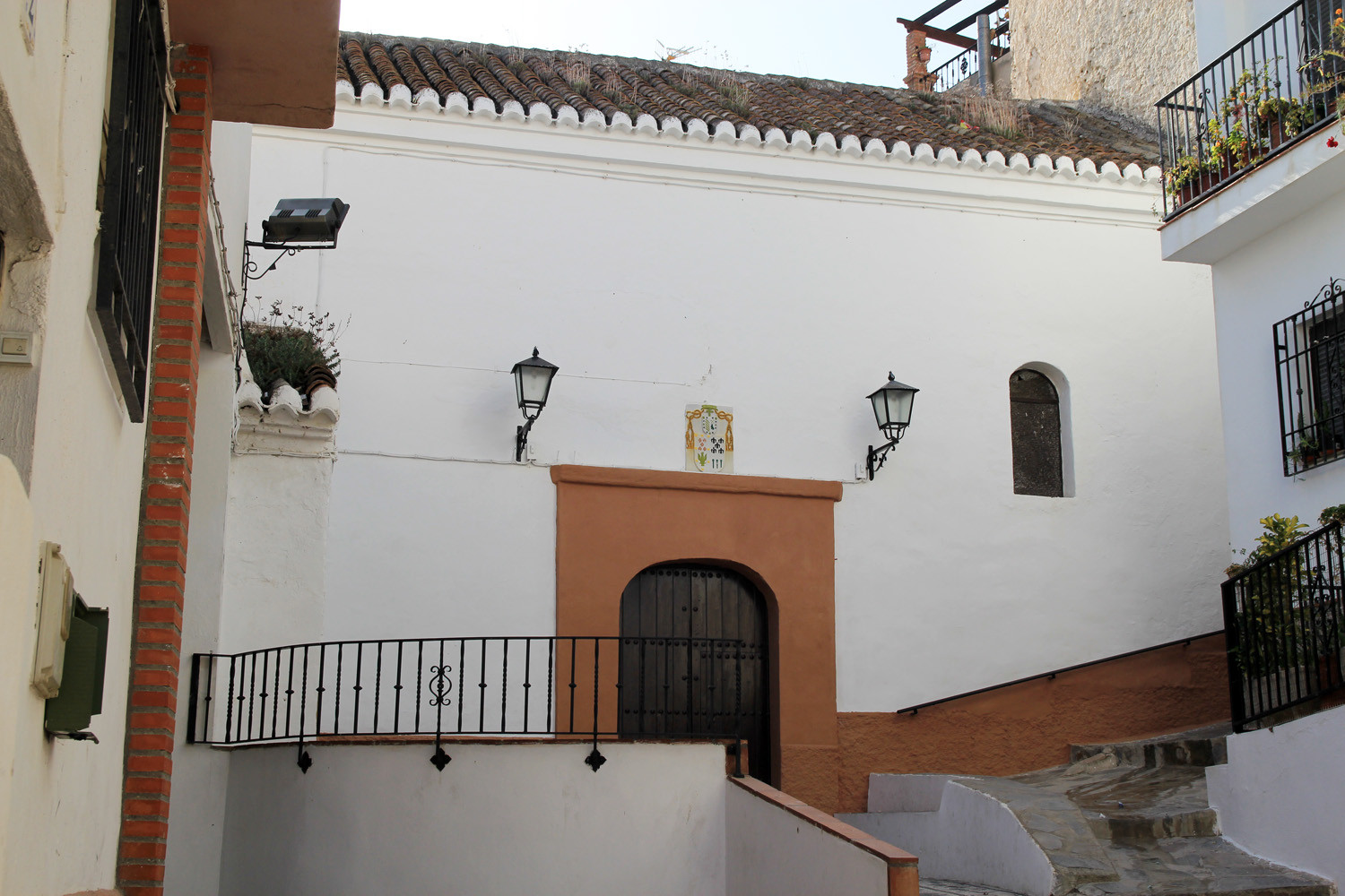
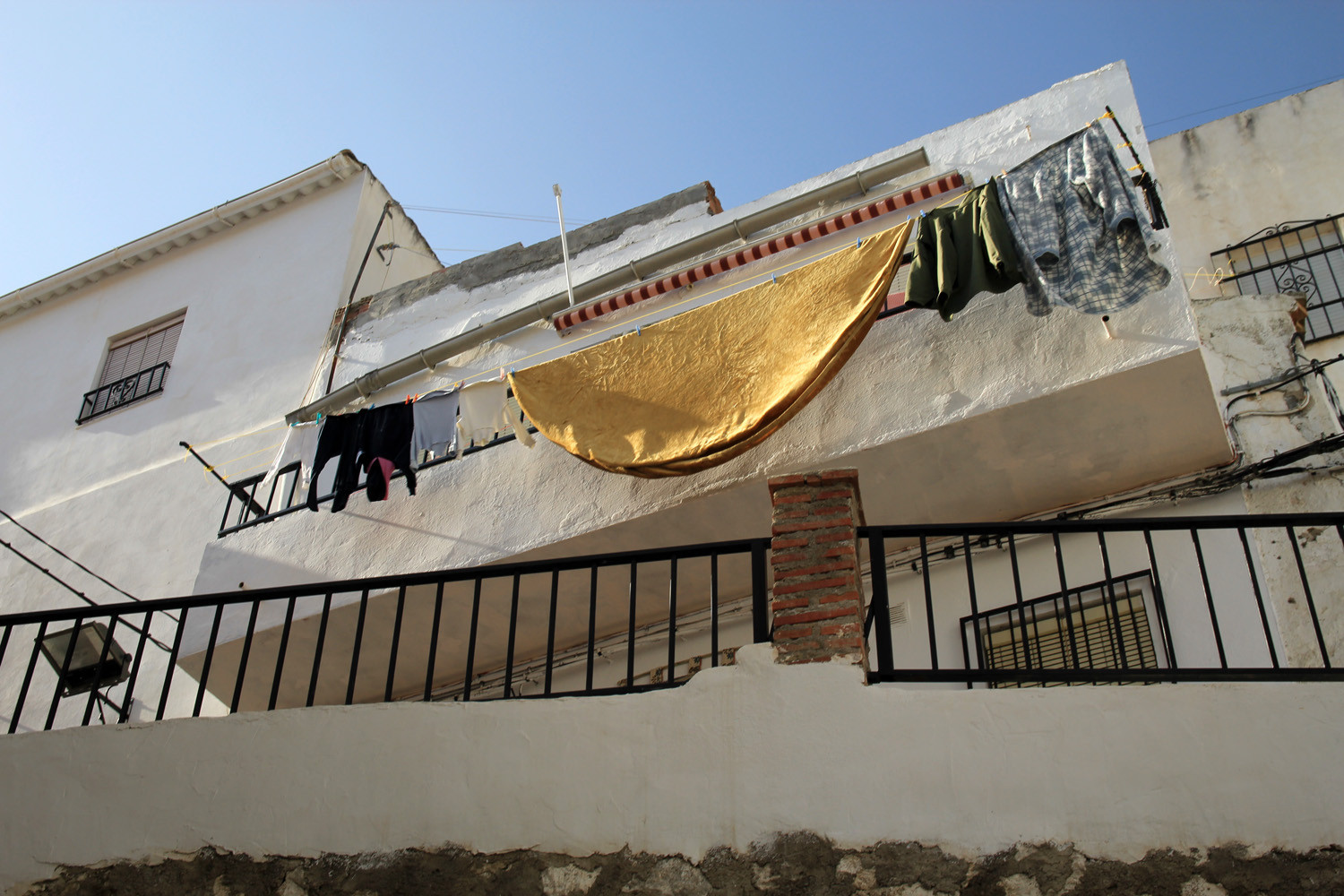
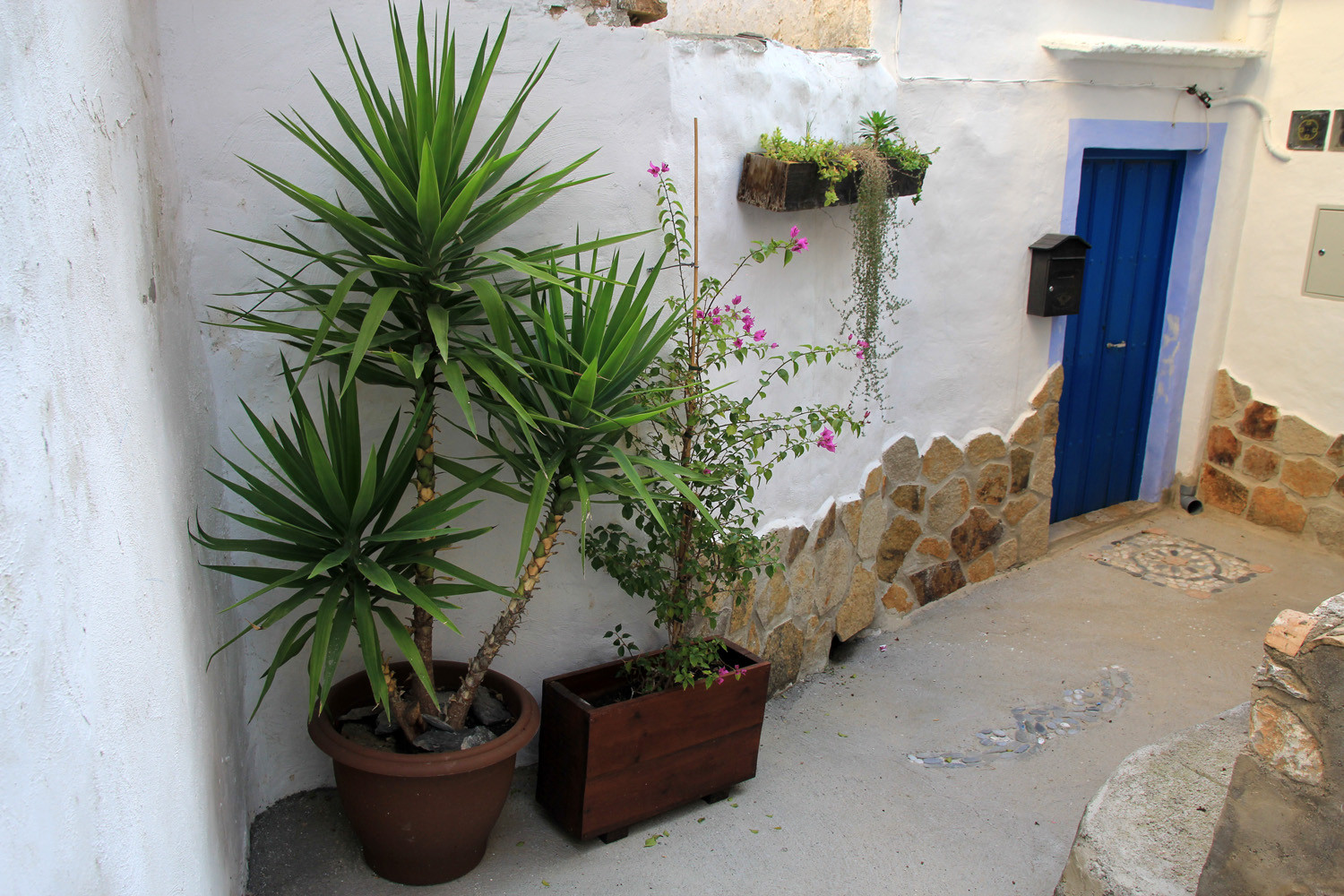
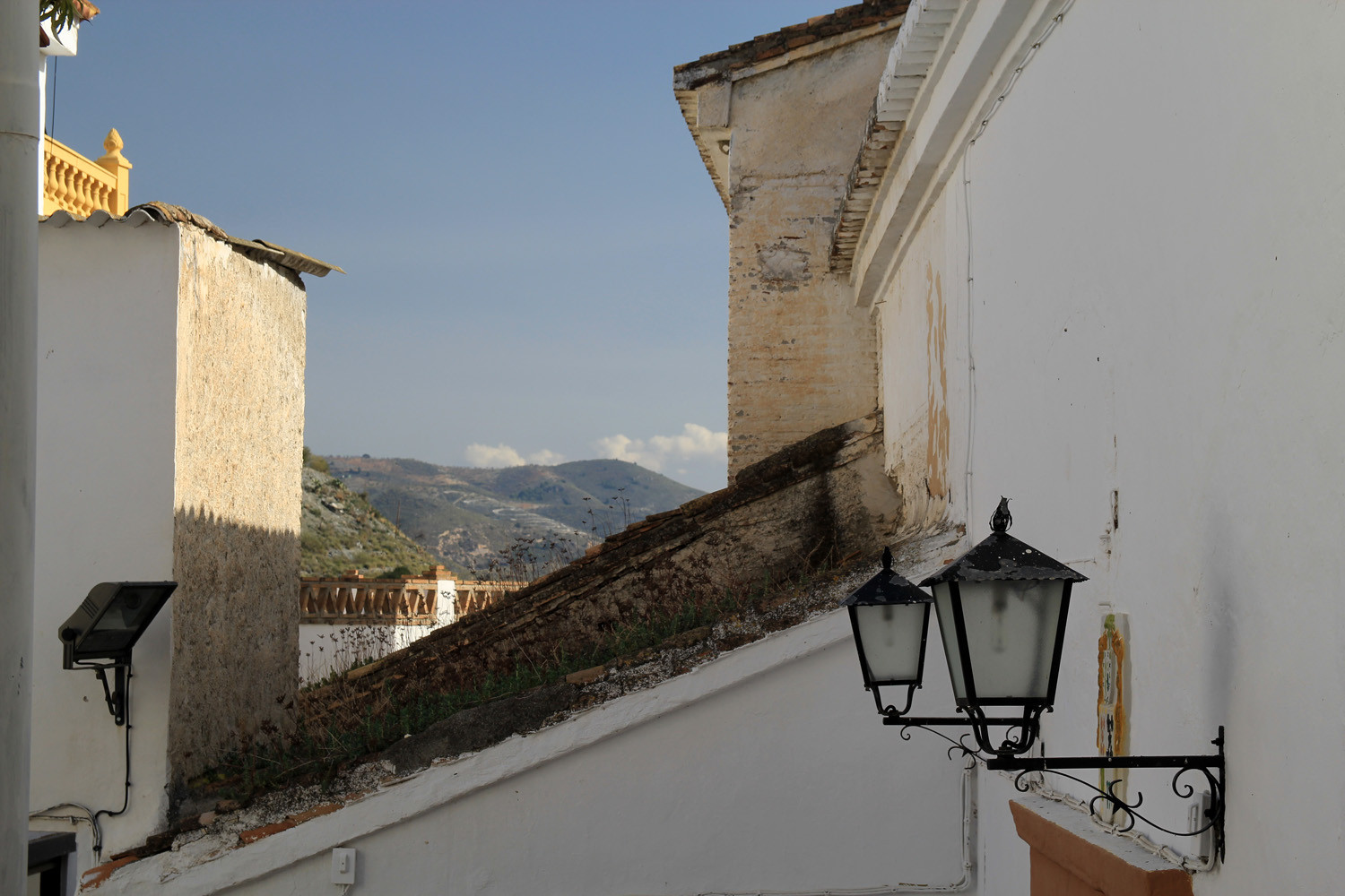
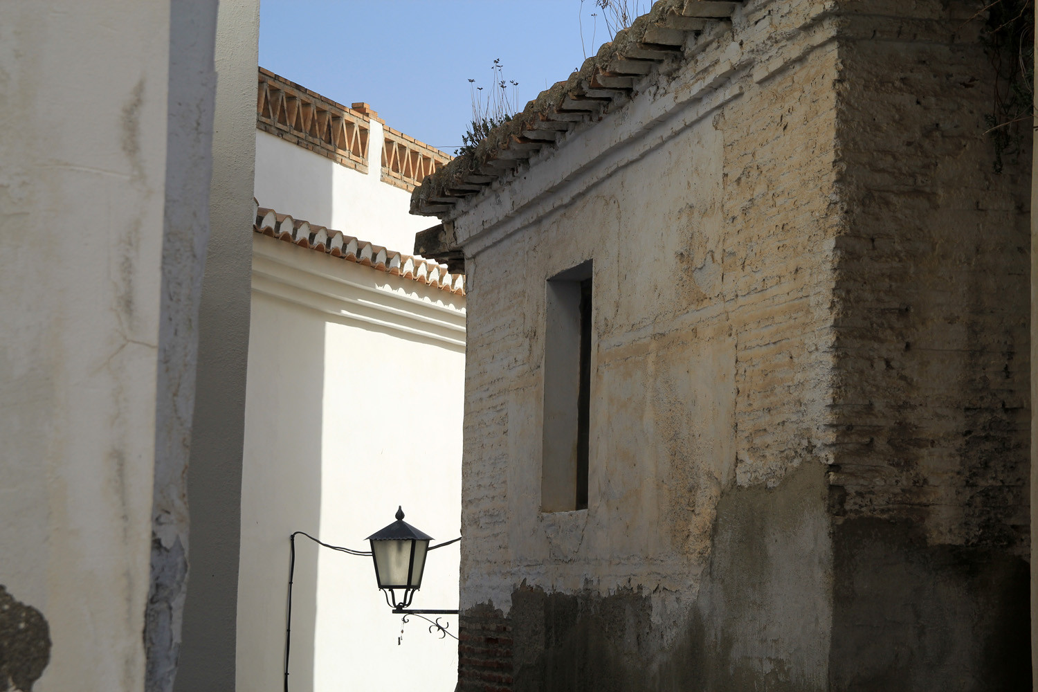
The village is located 359 meters above sea level and has 238 inhabitants (2013). Since 1976 the village is, together with the villages Pinos de Valle and Acebuches, forming the municipality El Pinar. The town of Ízbor is situated on the right bank of the river of the same name. Its narrow steep streets full of nooks and crannies, alleyways and squares, some houses with terraos are typical for Ízbor. Among the most important agricultural resources are olives, almonds, citrus and peaches.
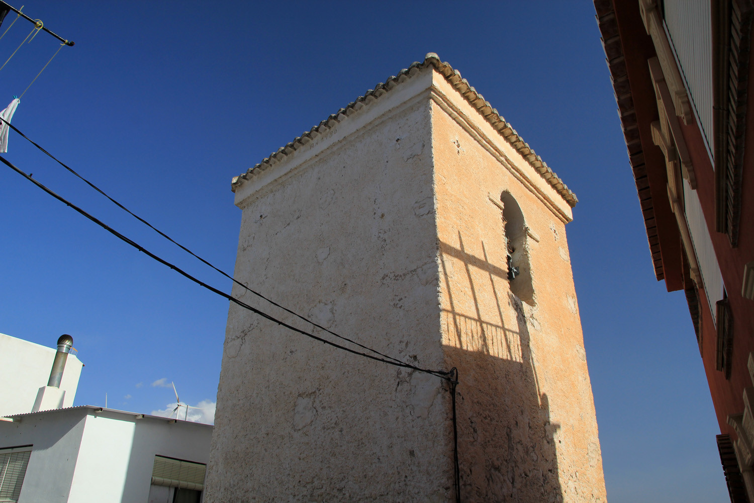
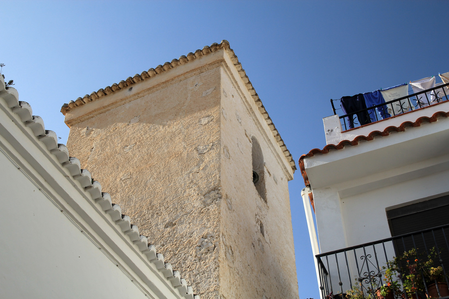
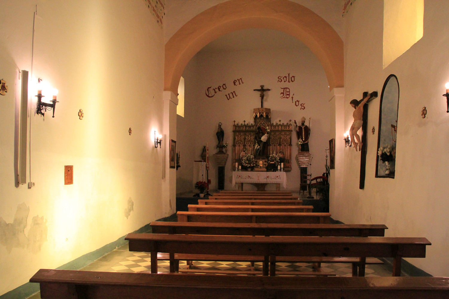
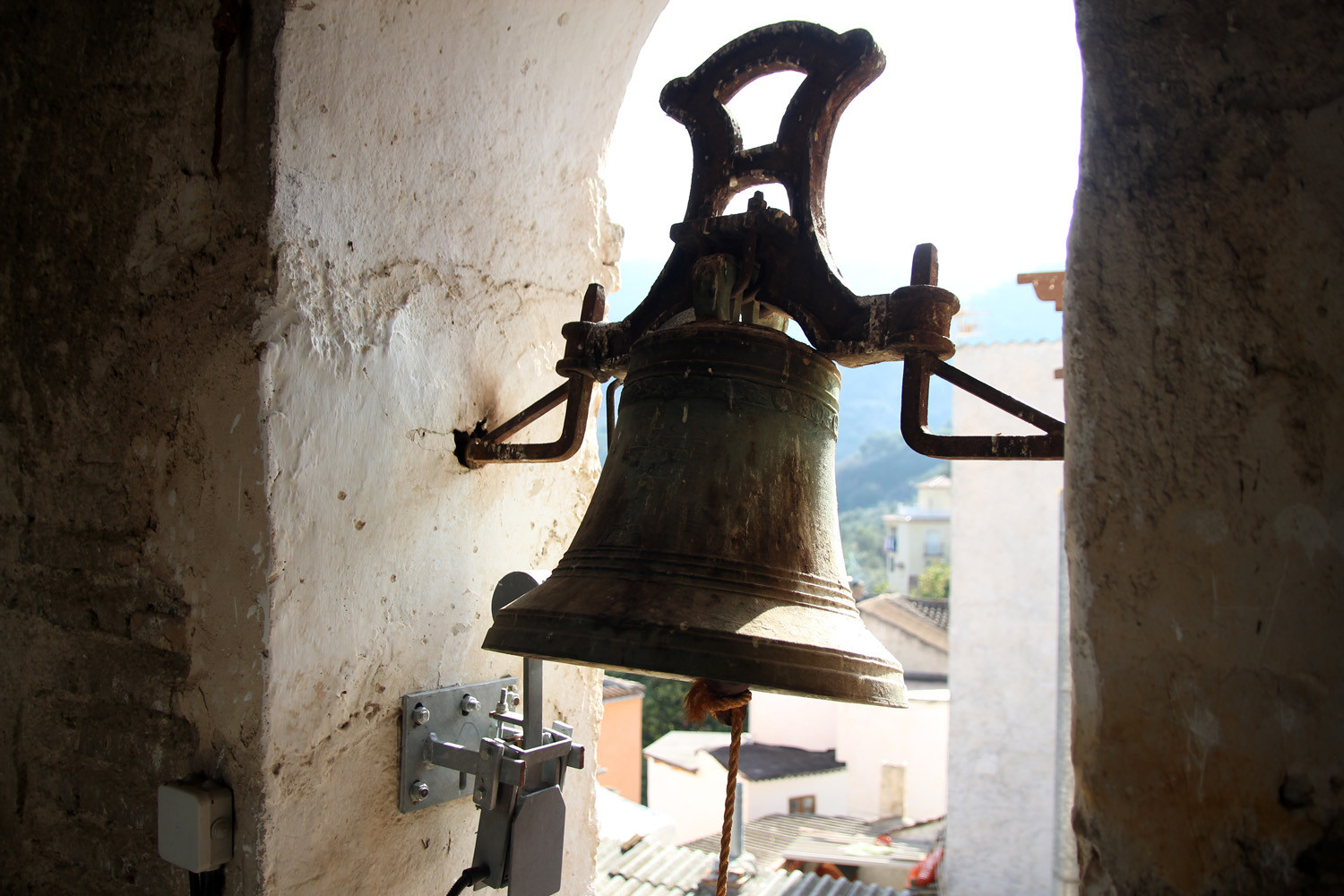
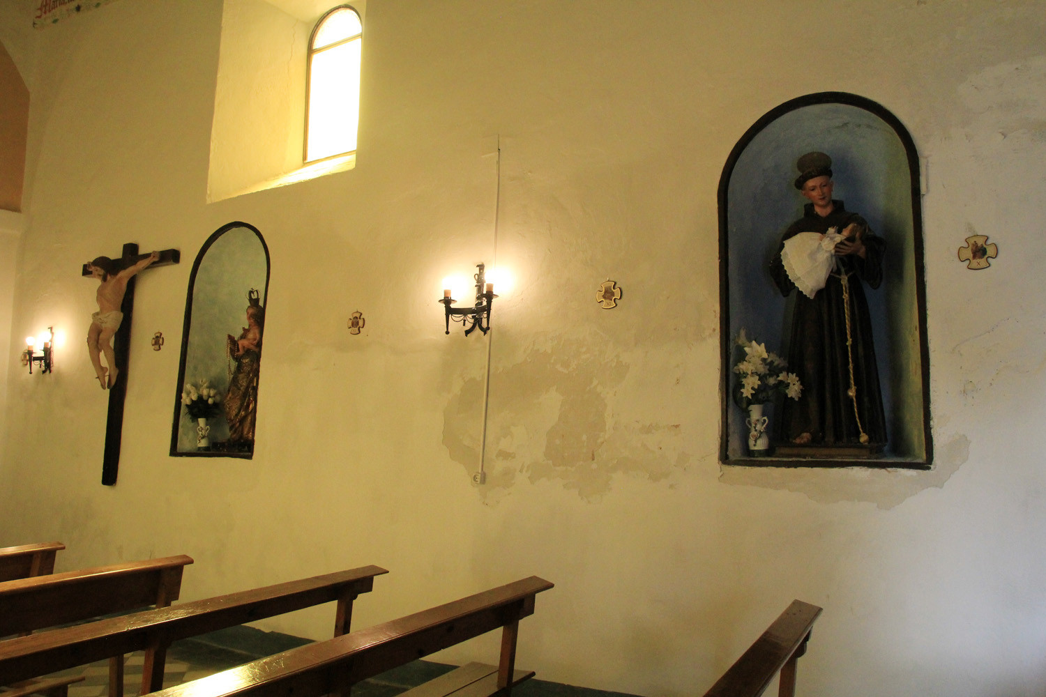
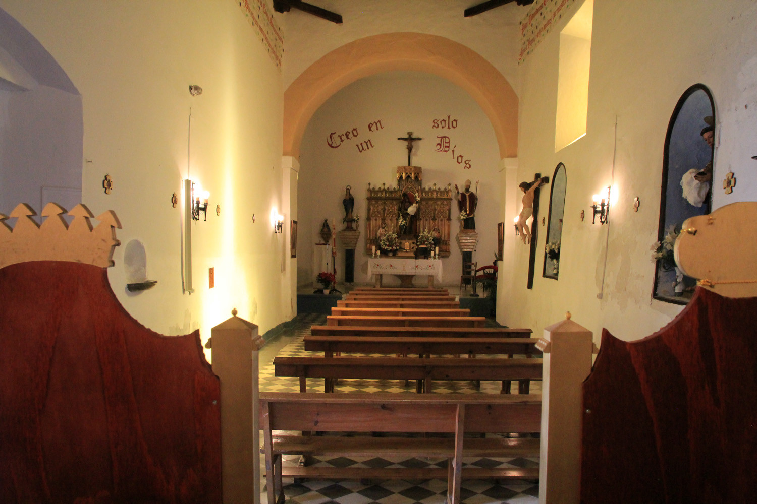
It is worth mentioning that the people are friendly in this town; everybody is greeting you in the streets and if you are lucky you are even invited by a neighbor in order to see the church and its tower inside.
Points of Interest in Ízbor
- River Ízbor;
- Church
- The streets of Ízbor;
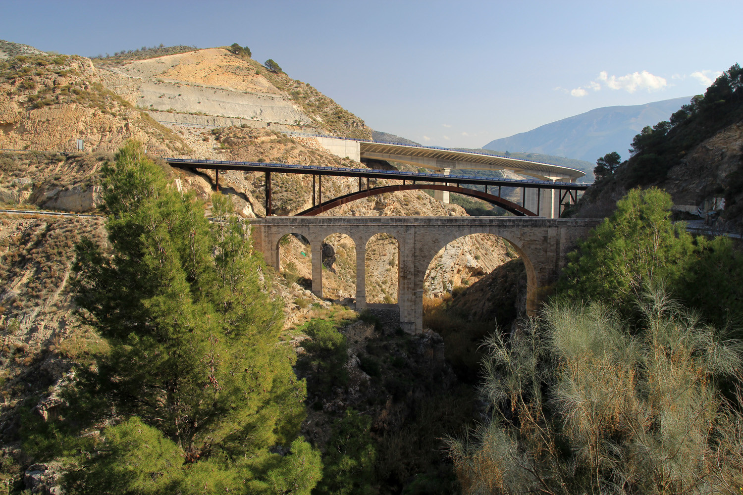
- The three bridges (three gerations).

Festivities in Ízbor
- The Saint's day of San Cayetano is celebrated from the 6th till the 8th of August.;
- San Roque is celebrated from the 15th till the 17th of August (processions);
- Festivities in honor of the patterns San José and Virgin Mary on the 24th and 25th of December.
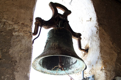
Photo Gallery of Ízbor


Basic Information Ízbor
Ízbor (36°53′42″N
3°31′36″O)
Altitude: 359 meters
Population: 238 inhabitants (2010)
Distances:
Distance to Granada: 47 km
Distance to the beach: 32 km
Distance to Airport Malaga: 126 km
Distance to Airport Granada: 61 km
Touristic level: low - medium - high
Authentic level: low - medium - high
Facilities:
- Supermarkets: yes
- Banks:
- Restaurants:
- Bars: yes