
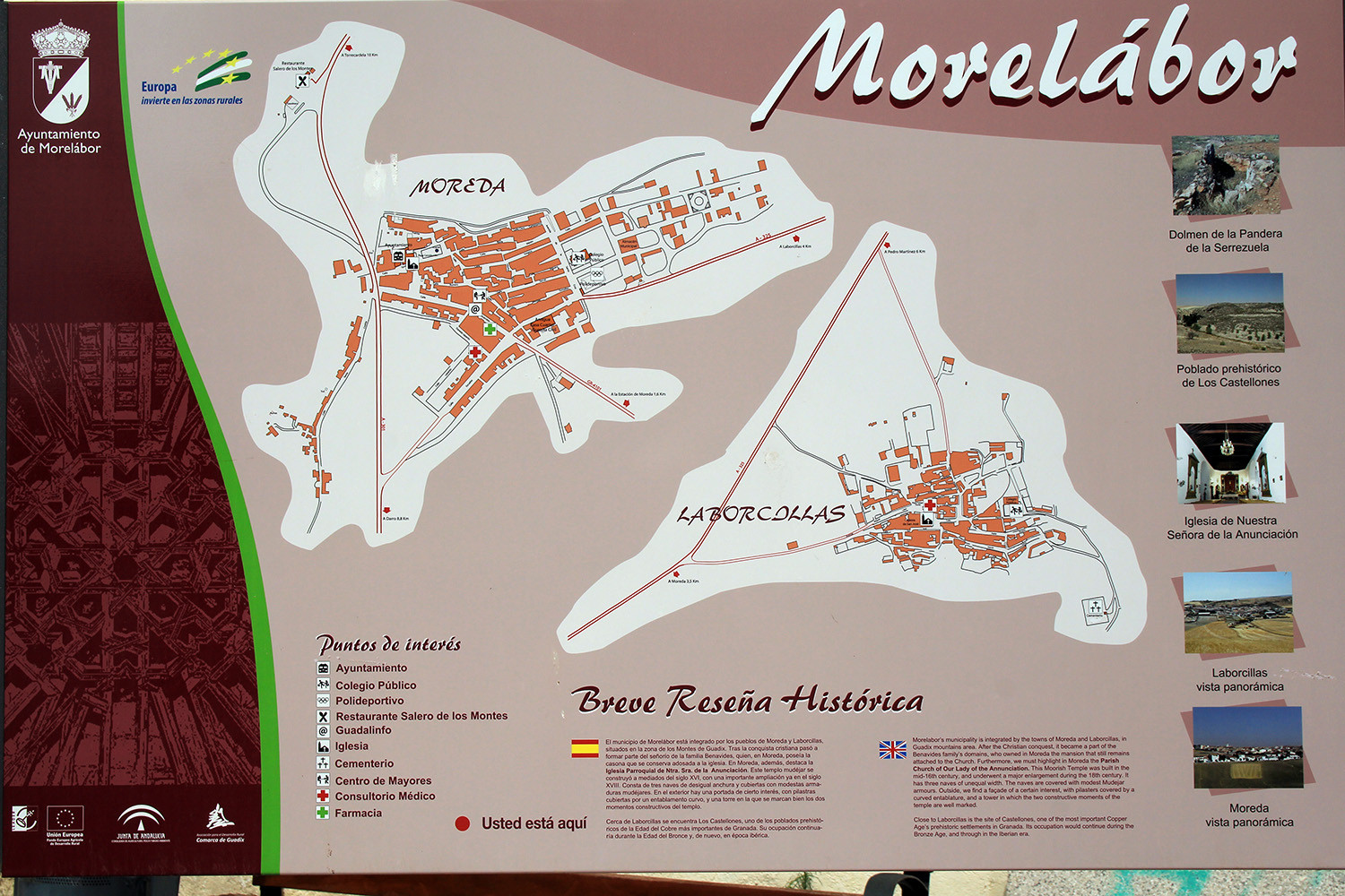
The village is located 1091 meters above sea level and has 590 inhabitants (2012). Moreda is a municipality that is since 1974 part of the municipality Morelábor and formed by the villages Moreda and Laborcillas. Morelábor is rich in archaeological sites. There are well-preserved tombs in the Cerro de los Castellanos, in the hamlet of Los Los Eriales in placeta de los Naranjos and the Cortijo de Fonseca. In the last one there is a large cemetery with many burials.
Points of Interest in Moreda
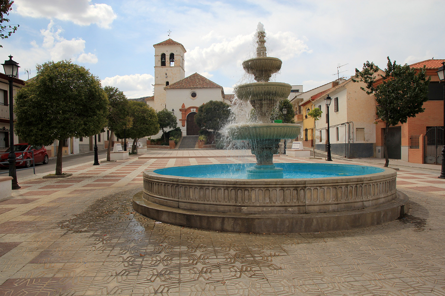
- Church: "Iglesia de Nuestra Señora de la Anunciación";


Festivities in Moreda
- The festivities in honor of the patron Santa cruz are celebrated from 1st till the 4th of May.
- The Saturday closest to the 15 th of May 15 Saturday San Isidro is celebrated with a procession to the railway station of Moreda;
- In the second weekend of August the fair is celebrated.
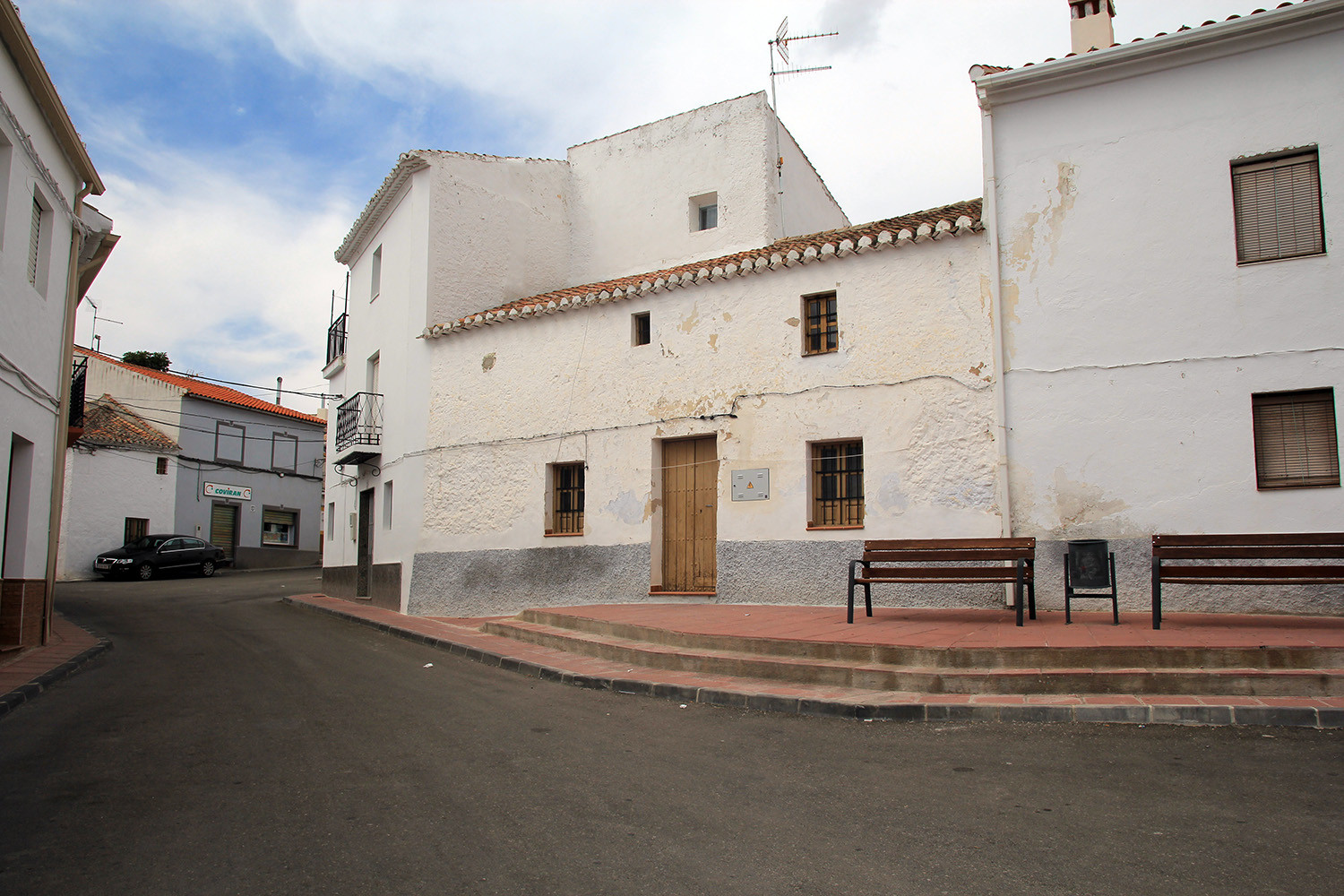
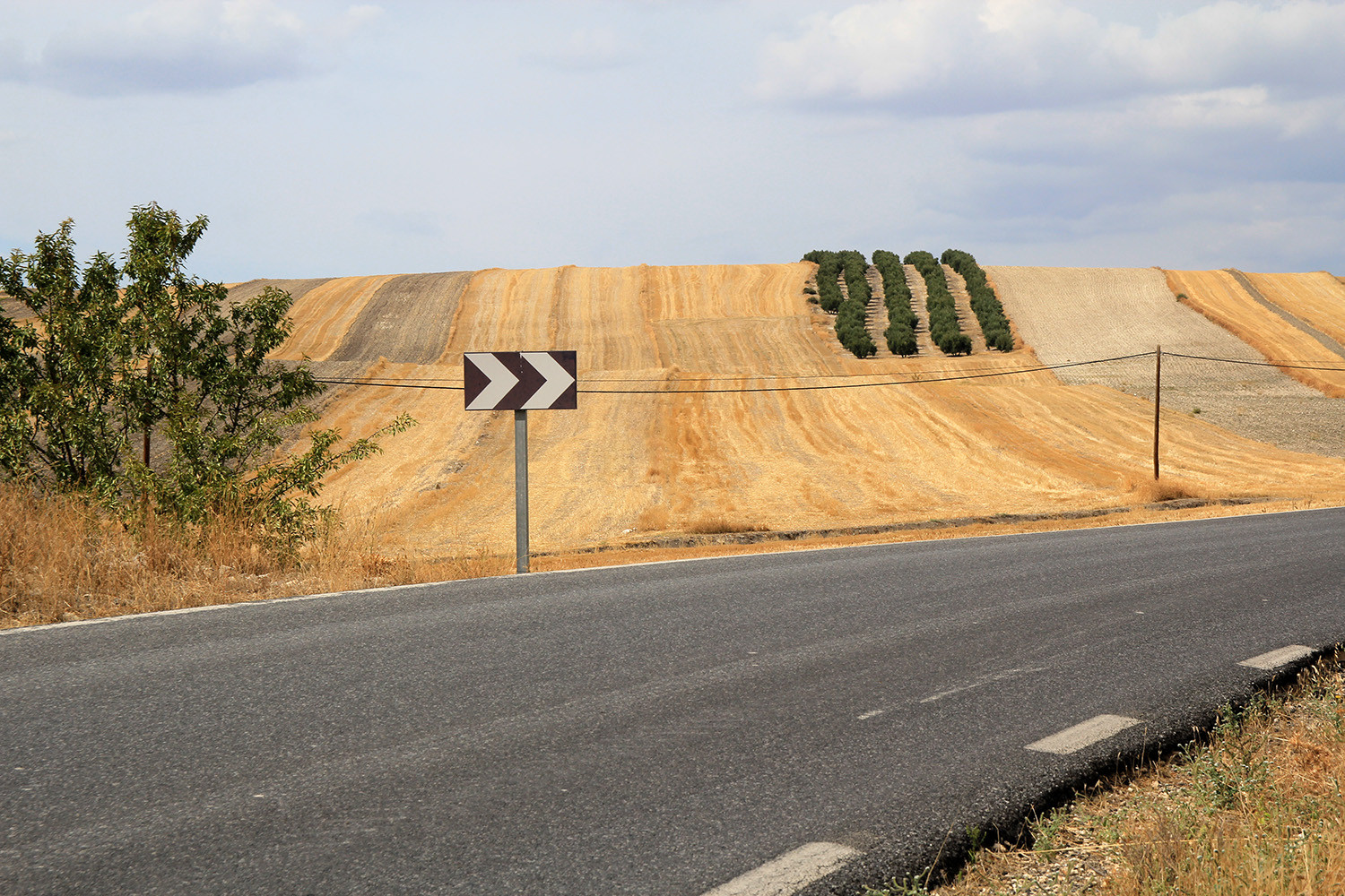
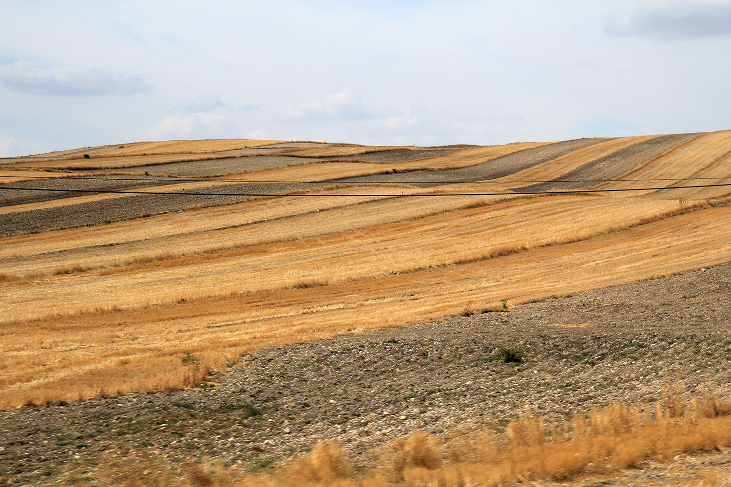
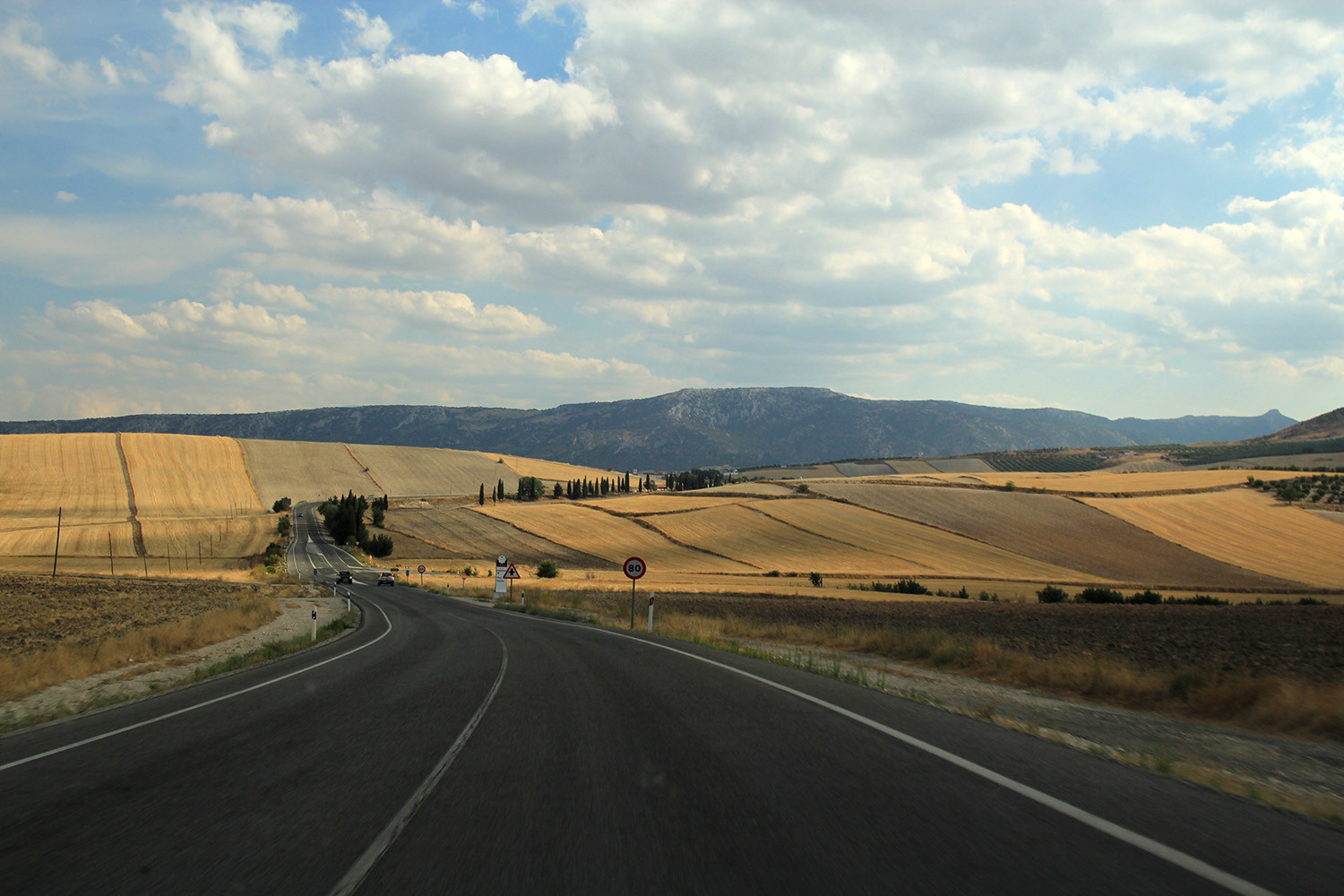
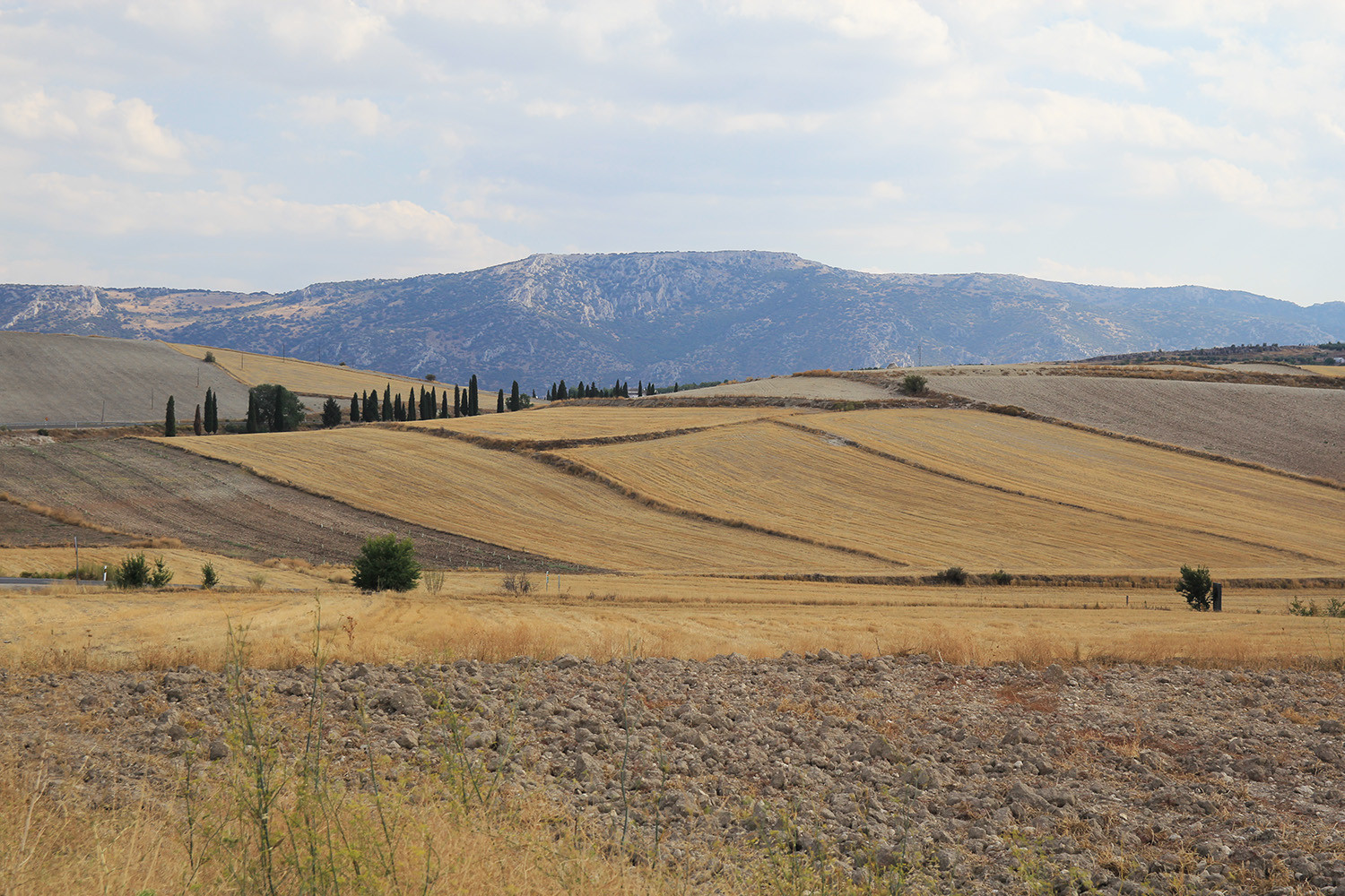
Photo Gallery of Moreda


Basic Information Moreda
Moreda (37°26′23″N 3°19′55″O)
Altitude: 1091 meters
Population: 590 inhabitants (2012)
Distances:
Distance to Granada: 64 km
Distance to the beach: 127 km (Motril)
Distance to Airport Malaga: 185 km
Distance to Airport Granada: 66 km
Touristic level: low - medium - high
Authentic level: low - medium - high
Facilities:
- Supermarkets: yes
- Banks: yes
- Restaurants: yes
- Bars: yes