
In 1974 Charches has been merged into Valley Zalabí.
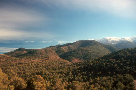
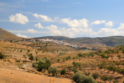
Charches, is located on the South side of the Sierra de Baza, giving spectacular views on the Valley of Marquesado and Sierra Nevada. The town is located at 1426 meters above sea level, therefore one of the highest located municipalities of the peninsula.
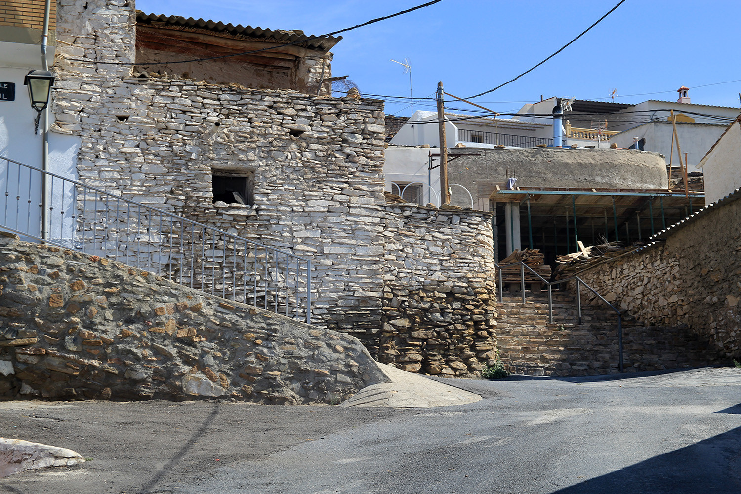
Being a village of ancient origins, the most notable are the dolmens, abundant in its environment, the most outstanding are located at "Cuesta del Salero" . Charches is a population that is living, and can live more by rural tourism and the possibilities offered through its strategic position at one of the main entrances to the Sierra de Baza Natural Park. Near Charches are also the nuclei of the Pocico and Rambla del Agua.
Points of Interest in Charches
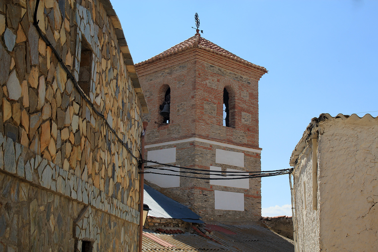
- The church;
- Washing sinks;
- Natural Park Sierra de Baza
Festivities in Charches
- On the 17th of January San Anton is celebrated;
- San Marcos the patron of the village is celebrated on the 25th of April;
- In the first weekend of August the the festivities are held in honor of la Virgen del Rosario;
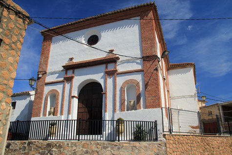
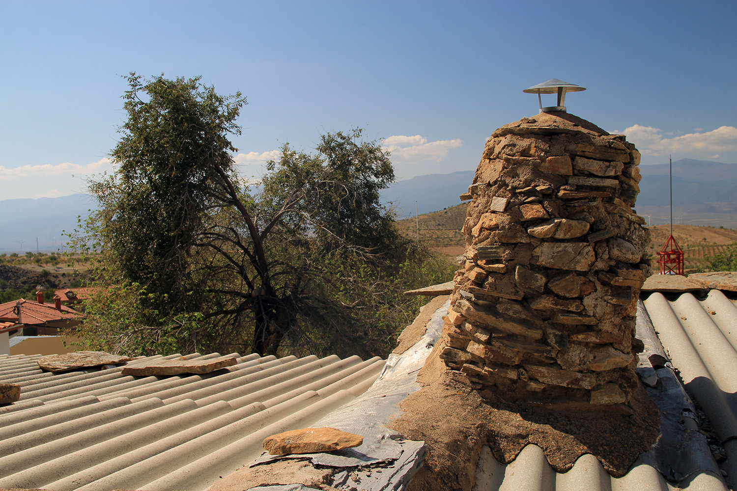
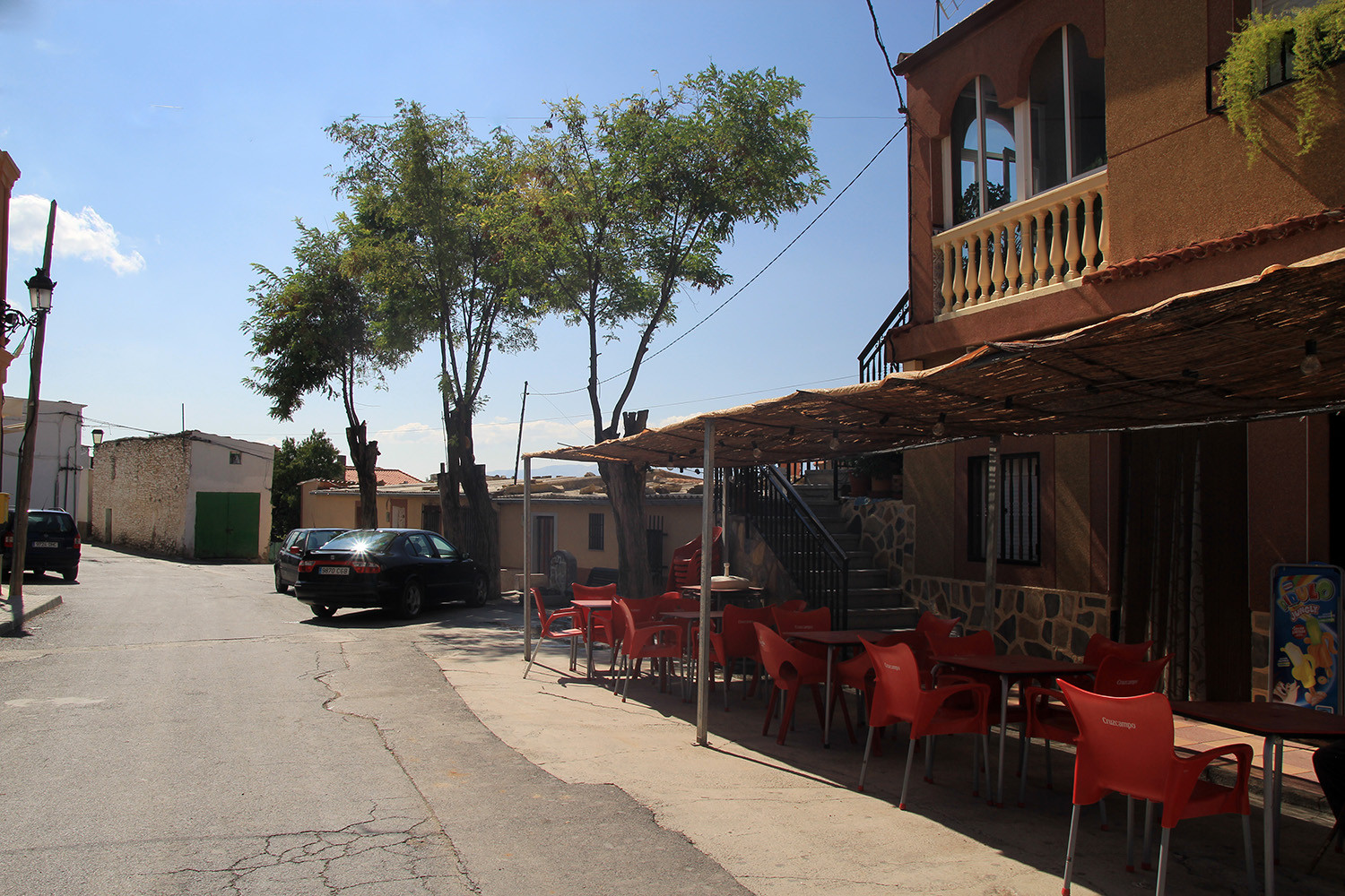
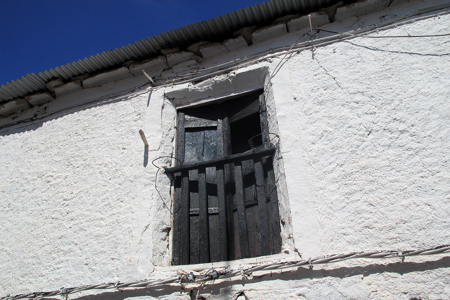
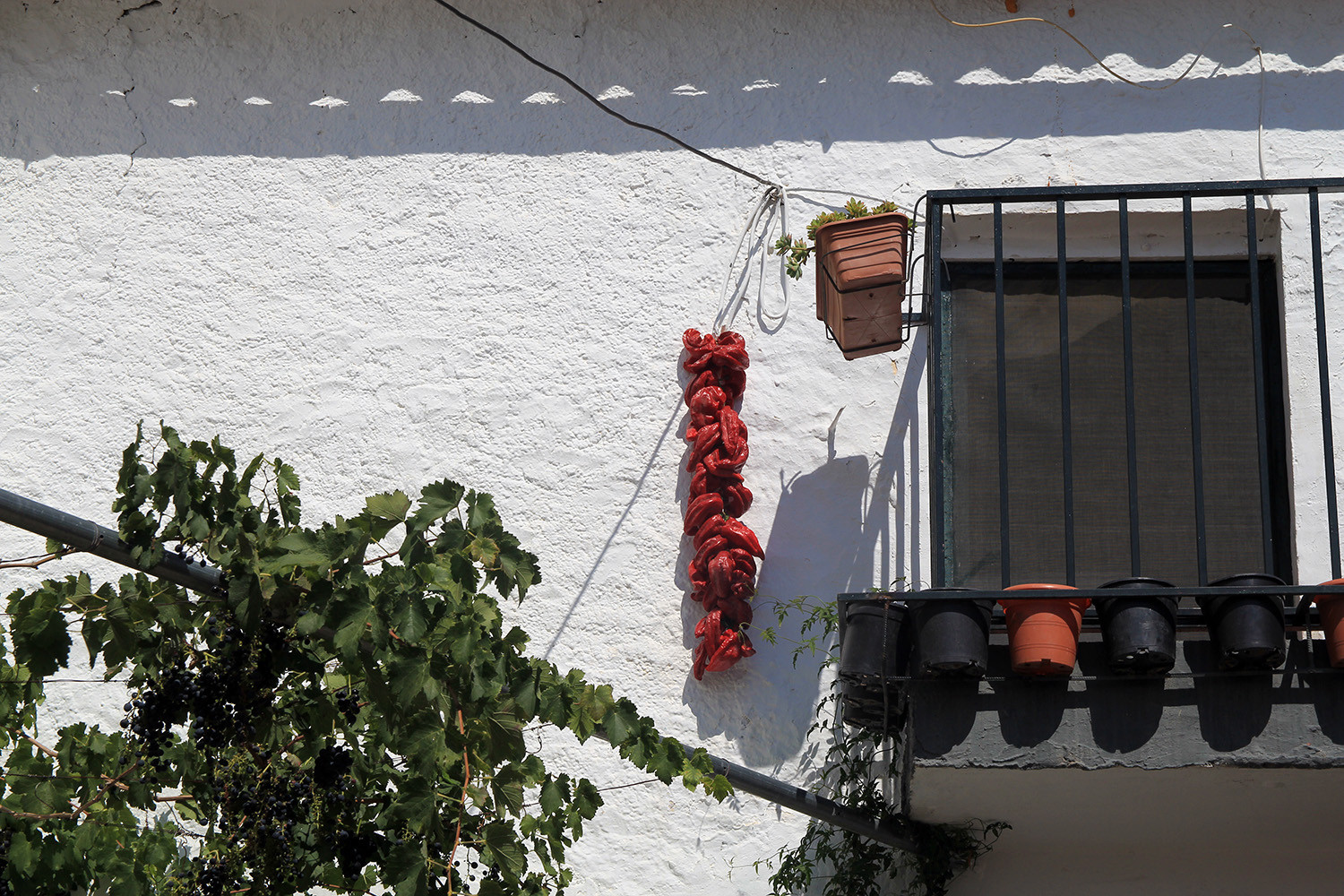
Photo Gallery of Charches


Basic Information Charches
Charches (37°17′39″N 2°57′25″O)
Altitude: 1426 meters
Population: 427 inhabitants (2014)
Distances:
Distance to Granada: 85 km
Distance to the beach: 106 km (Almeria)
Distance to Airport Malaga: 218 km
Distance to Airport Granada: 100 km
Touristic level: low - medium - high
Authentic level: low - medium - high
Facilities:
- Supermarkets: no
- Banks: no
- Restaurants: no
- Bars: yes