
The village is located 30 meters above sea level and has 1146 inhabitants (2013). Lobres belongs to the municipality of Salobreña.
Its history goes back to the beginning of the Neolithic. Remains were found in the cave of Captain, now known as Horse Cave, located on a small hill near the Cortijo de Moya. Among the remains; pieces of pottery, jewelry utilizing feedstock animal bones, small stones and even wood chips and various typical herding utensils were found.
Points of Interest in Lobres
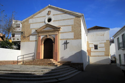
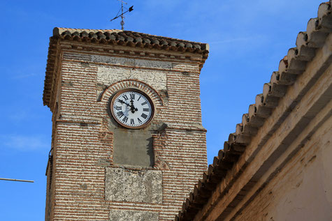
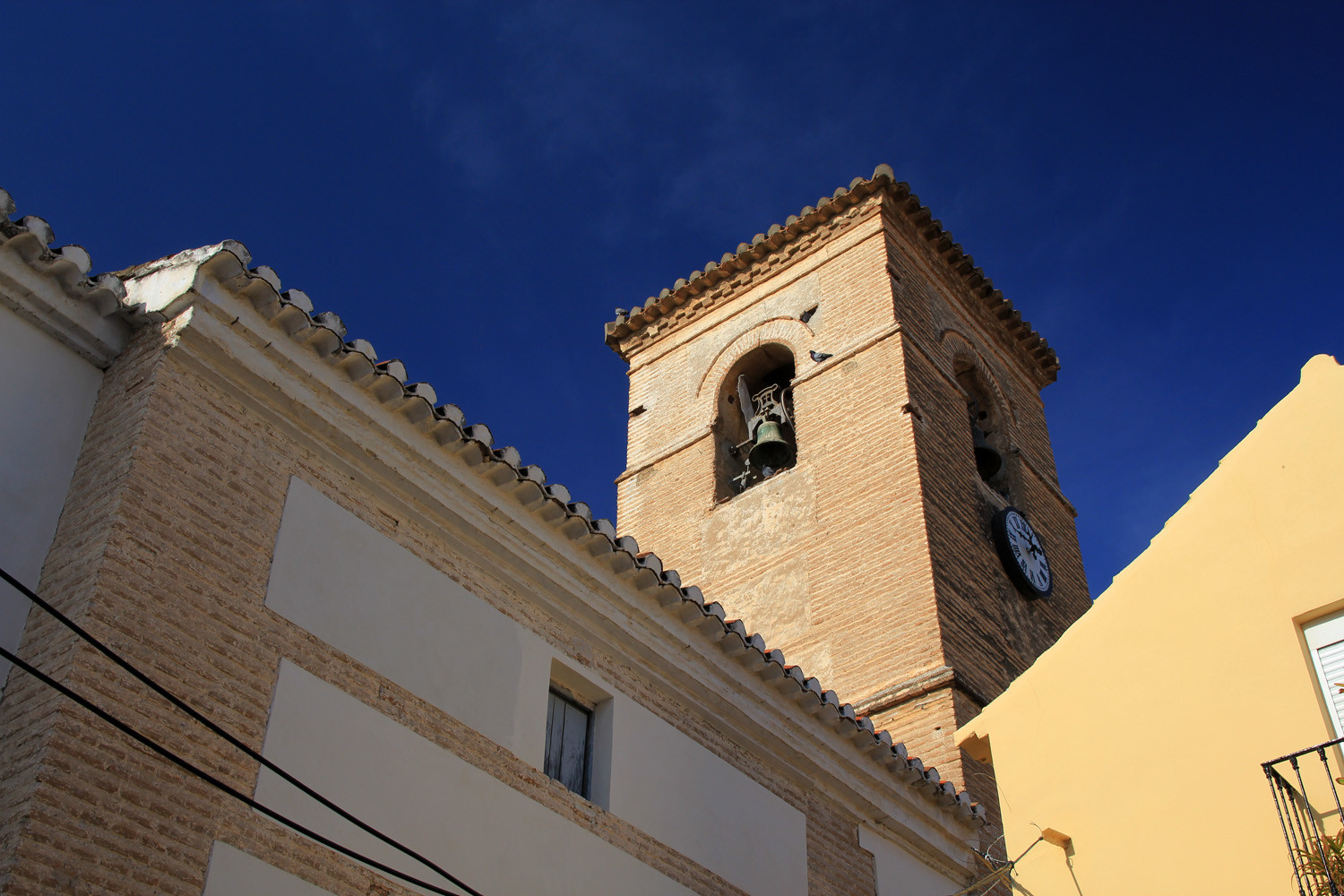
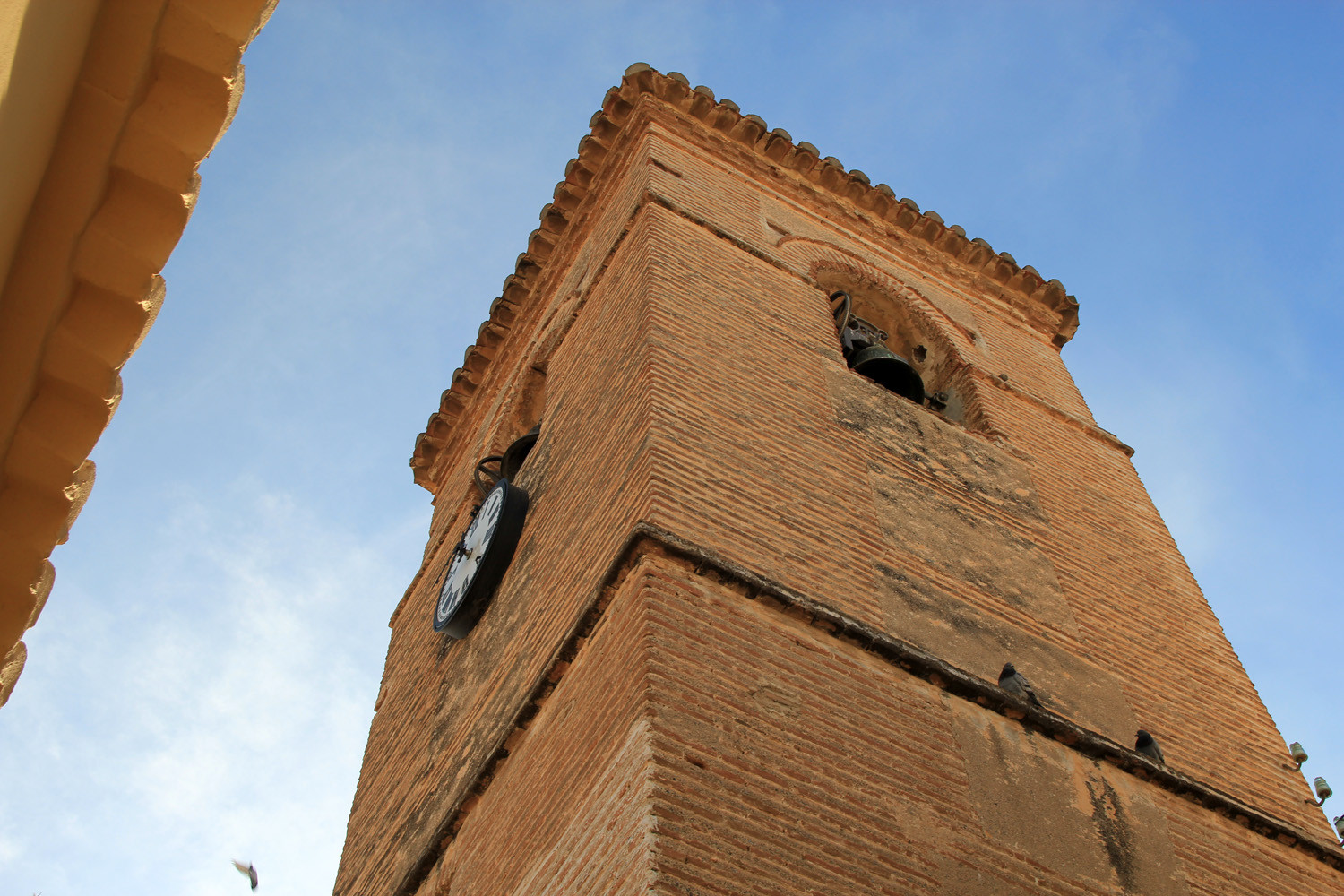
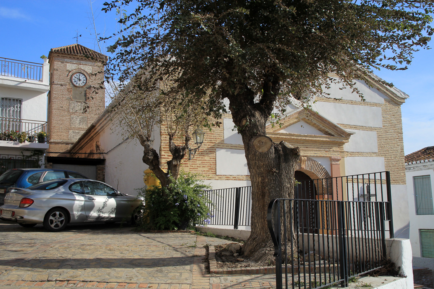
- Church: Iglesia de San Antonio (1605);
- Chapel Ermita de San Antonio;
- Chapel Ermita de Santa Ana (private property);
- Farmhouse, cortijo de San Cayetano (17th century);
Festivities in Lobres
- On the 2nd of February the pelgrimage in honor a la Virgen de la Candelaria is celebrated on the damm "Presa de Lobres";
- In the week of the 13th of June the festival is celebrated in honor of the patron San Antonio de Padua;
- There is a cultural week organized in the first week of August

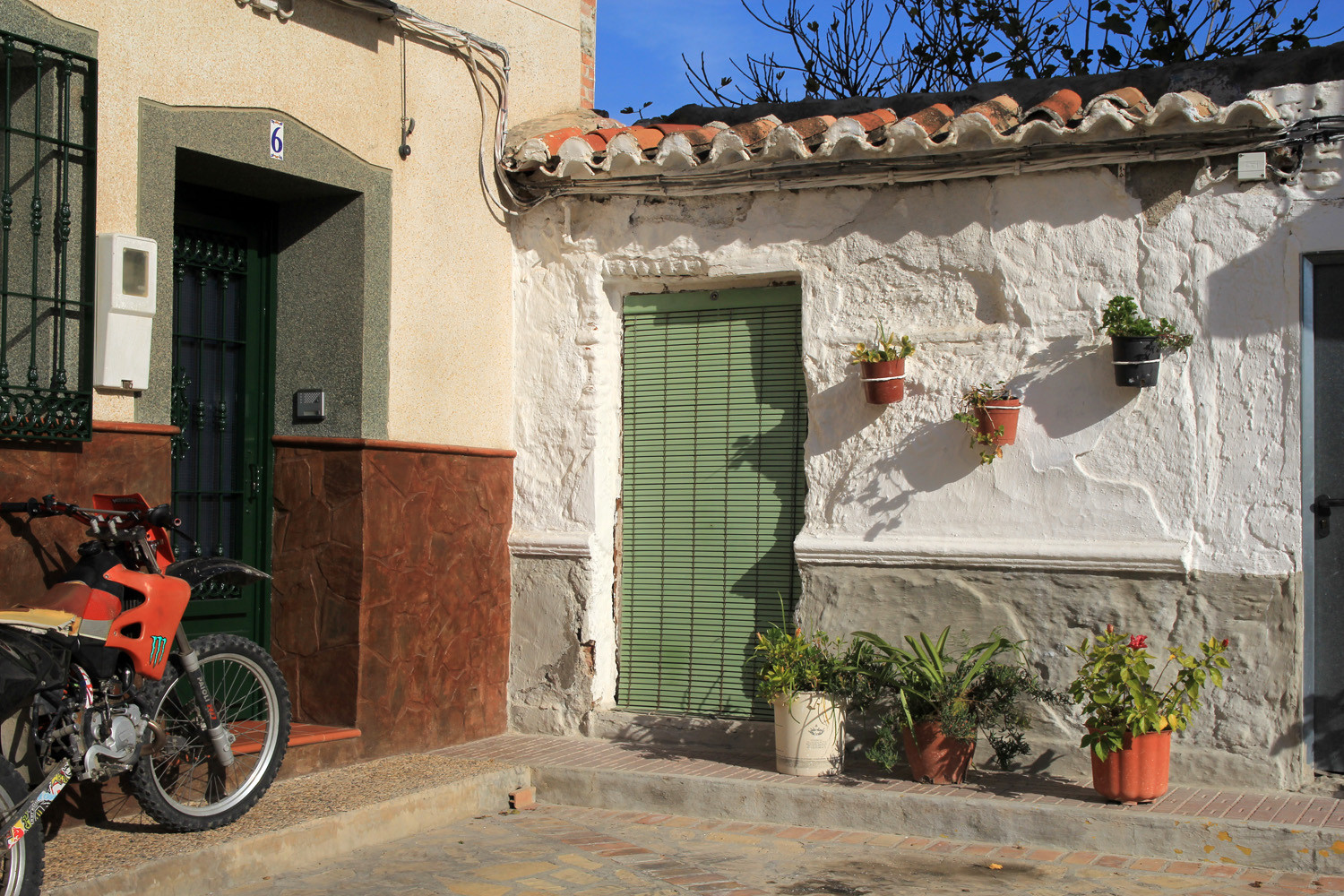
Photo Gallery of Lobres


Basic Information Lobres
Lobres (36°46′14″N 3°33′56″O)
Altitude: 30 meters
Population: 1146 (2013)
Distances:
Distance to Granada: 68 km
Distance to the beach: 7 km
Distance to Airport Malaga: 99 km
Distance to Airport Granada: 81 km
Touristic level: low -medium - high
Authentic level: low -medium - high
Facilities:
- Supermarkets: yes
- Banks: yes
- Restaurants: no
- Bars: yes