
The village is located at 1170 meters above sea level and has 605 inhabitants. To this municipaly belongs also Mecina Tedel and Cojayar. Murtas is settled at the foot of the Cerrajón, one of the most notable tourist attractions of the town. With its 1508 meters of altitude, it is the highest peak of Contraviesa mountains and therefore one of the best places to observe the whole region including the Sierra Nevada and Mediterranean coast.
The village has a musical tradition of singing ballads. This is a widespread musical tradition in the Alpujarras. The ballads are limericks / stanzas of five verses.

Festivities in Murtas
- The 2nd until the 4th of May they celebrate the fiesta of Santa Cruz with a procession to the chappel. Also with Eastern the are celebrations.

Points of Interest in Murtas
- Church of Murtas which has been constructed between 1800 and 1806 and is one of the biggest of the Alpujarras;
- Castillo de Juliana: On the road between Mecina Tedel and Cojáyar are the ruins of this castle located. It consisted of three enclosures, the remains of towers, walls and cisterns are preserved;
- Mills of the valley of Cojáyar.
- Viewpoint Cerrajón de Murtas: one of the best view points in the area;
- Viewpoint de la Santa Cruz (Murtas): next to the chappel Santa Cruz;
- In the Calle Antonio Manzano in Murtas you can watch a washing sink of the 18th century;
- On Cerrajón are two caves located whose visit is very interesting. The cave La Gotera is located on top of the north face (Coordenates UTM: 4884,40818), and cave La Vieja, on the south side, near the spring "Fuente de Inotes". On the slopes of Venta del Chaleco is another cave in Cerro del Minchal;
- Bodega Cuatro Vientos and Wine Interpration Center.
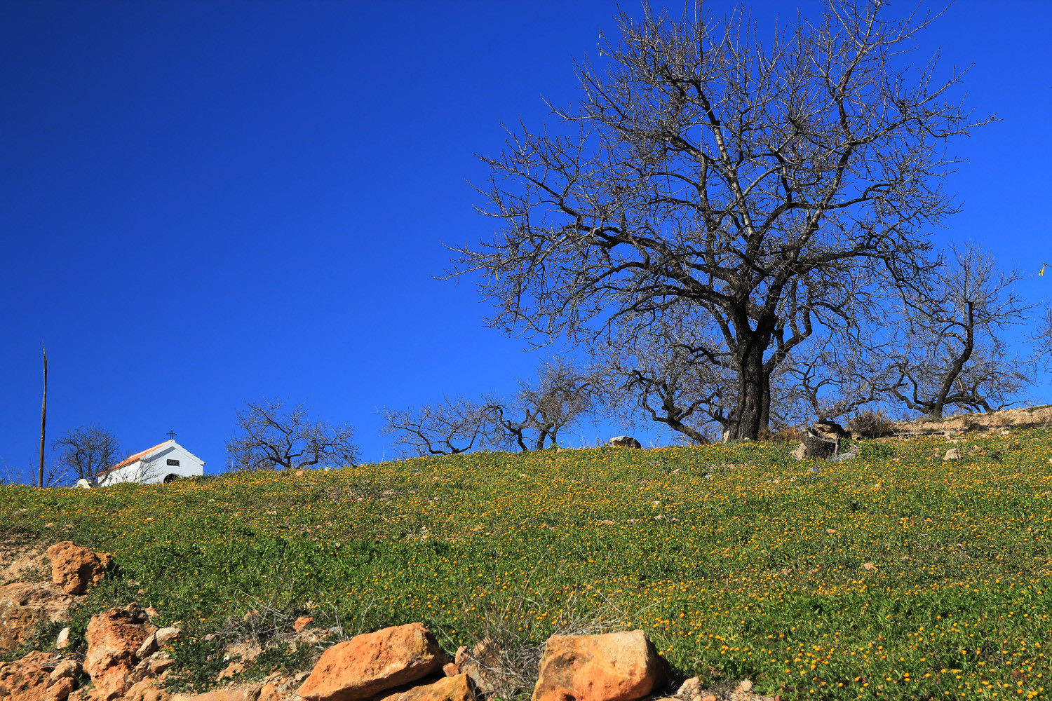
Photo Gallery of Murtas


Basic Information Murtas
Murtas (36°53′12″N 3°06′32″O)
Altitude: 1170 meters
Population: 605 inhabitants (2013)
Distances:
Distance to Granada: 108 km
Distance to the beach: 37 km (La Rabita)
Distance to the Airport of Malaga: 170 km
Distance to the Airport of Granada: 123 km
Touristic level: low - medium - high
Authentic level: low - medium - high
Facilities:
- Supermarkets: no
- Banks: yes
- Restaurants:no
- Bars: yes