
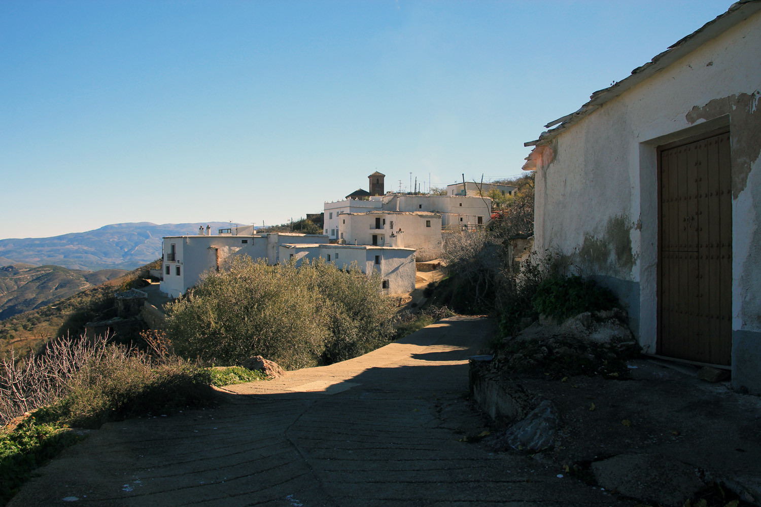
The village is located at 1072 meters above sea level and has only 28 inhabitants. The small town is part of the municipality Murtas. From 1920 till 1940 the village was famous for its silk industry. It is situated in the lower part of the Alpujarra, in the mountains of the Contraviesa.

Points of Interest in Mecina Tedel
- Church in Baroque style (17th century)
- Spring: La fuente de Mecina Tedel
- "Tinao´s"

Festivities in Mecina Tedel
- In the first weekend of July are the festivities in honor of the patron San Fernando celebrated.
Photo Gallery of Mecina Tedel


Basic Information Mecina Tedel
Mecina Tedel (36°53′43″N
3°06′53″O)
Altitude: 1072 meters
Population: 28 inhabitants (2013)
Distances:
Distance to Granada: 111 km
Distance to the beach: 40 km (La Rabita)
Distance to the Airport of Malaga: 173 km
Distance to the Airport of Granada: 125 km
Touristic level: low - medium - high
Authentic level: low - medium - high
Facilities:
-
Supermarkets: no
-
Banks: no
-
Restaurants: no
- Bars: no