
Until 1975 Mecinilla was part of the municipality of Mecina Fondales that on its part was formed by the districts of Mecina and Fondales. From this year it is part of the municipality of La Taha on that date.
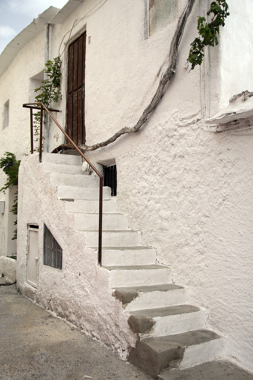
It is located within the Historic Site of Alpujarra Media and the municipality of La Taha. It is attached to the core of Mecina by a small neighborhood of buildings, erected in the second half of the twentieth century. It includes a church, cultural facilities, a hotel and housing .The village has a large degree of architectural authenticity. Its rounded corners, houses without roofs, alleys, galleries or passages "tinao´s" are some of the many details that can be seen in its corners.


Points of Interest in Mecinilla
- The whole village is an open air museum, with a lot of "tinaos";
Festivities in Mecinilla
- The festival of San Cayetano is celebrated in the first weekend of August.
Photo Gallery of Mecinilla


Basic Information Mecinilla
Mecinilla (36°55′37″N 3°19′25″O)
Altitude: 1008 meters
Population: 20 inhabitants (2012)
Distances:
Distance to Granada: 77 km
Distance to the beach: 55 km (Motril)
Distance to the Airport of Malaga: 149 km
Distance to the Airport of Granada: 91 km
Touristic level: low - medium - high
Authentic level: low - medium - high
Facilities:
-
Supermarkets: no
-
Banks: no
-
Restaurants: no
- Bars: yes