
The village is situated at 610 meters above sea level and has 3.234 inhabitants (2014). The town was formerly known as "Bencilema" It was the first stable population founded in its district.
It was a separate municipality until 1976, when it was merged with Purchil and Ambroz in one municipality called Vegas del Genil,
Points of Interest in Belicena
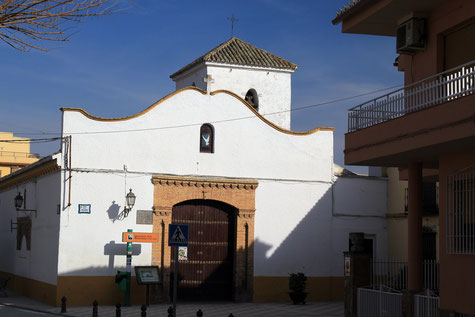
- Church: Iglesia de la Virgen del Rosario (18th century);
- Historic Farmhouse: Cortijo de las Cañas (on the road from Belicena to Santa Fé);
- Historic farmhouse: Huerta de Santa María (20th century);
- Historic farmhouse: Cortijo de Haro (20th century);
- Historic farmhouse: Casería Casa Blanca (19th century);
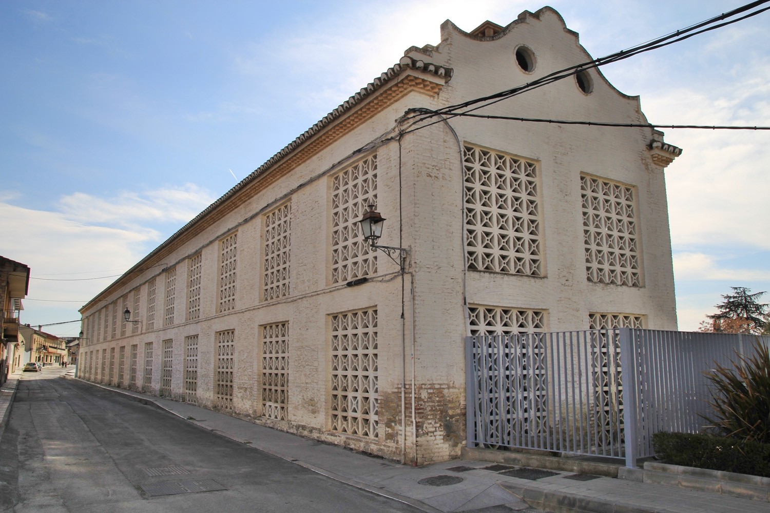
- Dry Farms (farms used for drying the tobacco);
- Information Center de la Vega: information about the tobacco farms.
Festivities in Belicena
- The "Dia del Toma" is celebrated on the 2nd of January;
- On the 25th of April the festivities in honor of de patron San Marcos are celebrated.
Photo Gallery of Belicena


Basic Information Belicena
Belicena (37°10′15″N
3°41′32″O)
Altitude: 610 meters
Population: 3.234 inhabitants (2014)
Distances:
Distance to Granada: 12 km
Distance to the beach: 74 km
Distance to Airport Malaga: 129 km
Distance to Airport Granada: 10 km
Touristic level: low - medium - high
Authentic level: low - medium - high
Facilities:
- Supermarkets: yes
- Banks: yes
- Restaurants: yes
- Bars: yes