
The village is situated at 602 meters above sea level and has 17.570 inhabitants (2014). To the municipality belongs also the districts Caparacena, Sierra Elvira , Hurpe and Embalse de Cubillas. The first settlers who inhabited the peninsula in the Neolithic and the Iberians, Romans, Visigoths and Arabs have left their footprints in Atarfe. The passage of these cultures has led to the existence of a large number of archaeological remains scattered around the municipality. There is controversy over the location of the Roman city of Iliberis; while some investigators located it in Albaicin, others however say that it was at the foot of Sierra Elvira, in Atarfe.
Points of Interest in Atarfe
Points of Interest:
- Church: Iglesia Parroquial de la Encarnación (17th century);
- Hermitage of Santa Ana with its monument "Monumento al Sagrado Corazón de Jesús";
- Hermitage of los Tres Juanes situated on the hill Cerro del Castillejo in Sierra Elvira;
- Museum: Museo de Ciencias Naturales which is located inside the hermitage de los Tres Juanes;
- Botanic Garden: located next to the Tres Juanes includes recreation areas, a restaurant and bar;
- Museum: Museo El Arca de los Tiempos;
- Park: Parque de la Higueruela (13.000 m2);
- El Corredor Verde "Los Olivares de Elvira" (70.000 m2);
- Park: Parque Ramón Gardón;
- Sierra Elvira;
- Cave: Sima de Raja Santa, Sierra Elvira;
- Cave (chasm): Sima El Cogollillo;
- Embalse de Cubillas;


Festivities in Atarfe
- The festivities in honor of the patron Santa Ana are held on the 26th of July;

- Medina Elvira: Madinat Ilbira (Medina Elvira) is a unique site in Spain and Europe, which hides the remains of the most important city of the Vega of Granada between the seventh and tenth centuries. Madinat Ilbira is a city probably arose from a peasant settlement and has important remains of Roman and Late Antique periods. In the ninth century Abdehrraman II and Muhammad I built his fortress and probably its biggest mosque. This was located between the municipalities of Atarfe and Pinos Puente and has a extensive protected expanse of 332 hectares, declared of Cultural Interest (BIC) in 2004.
Photo Gallery of Atarfe


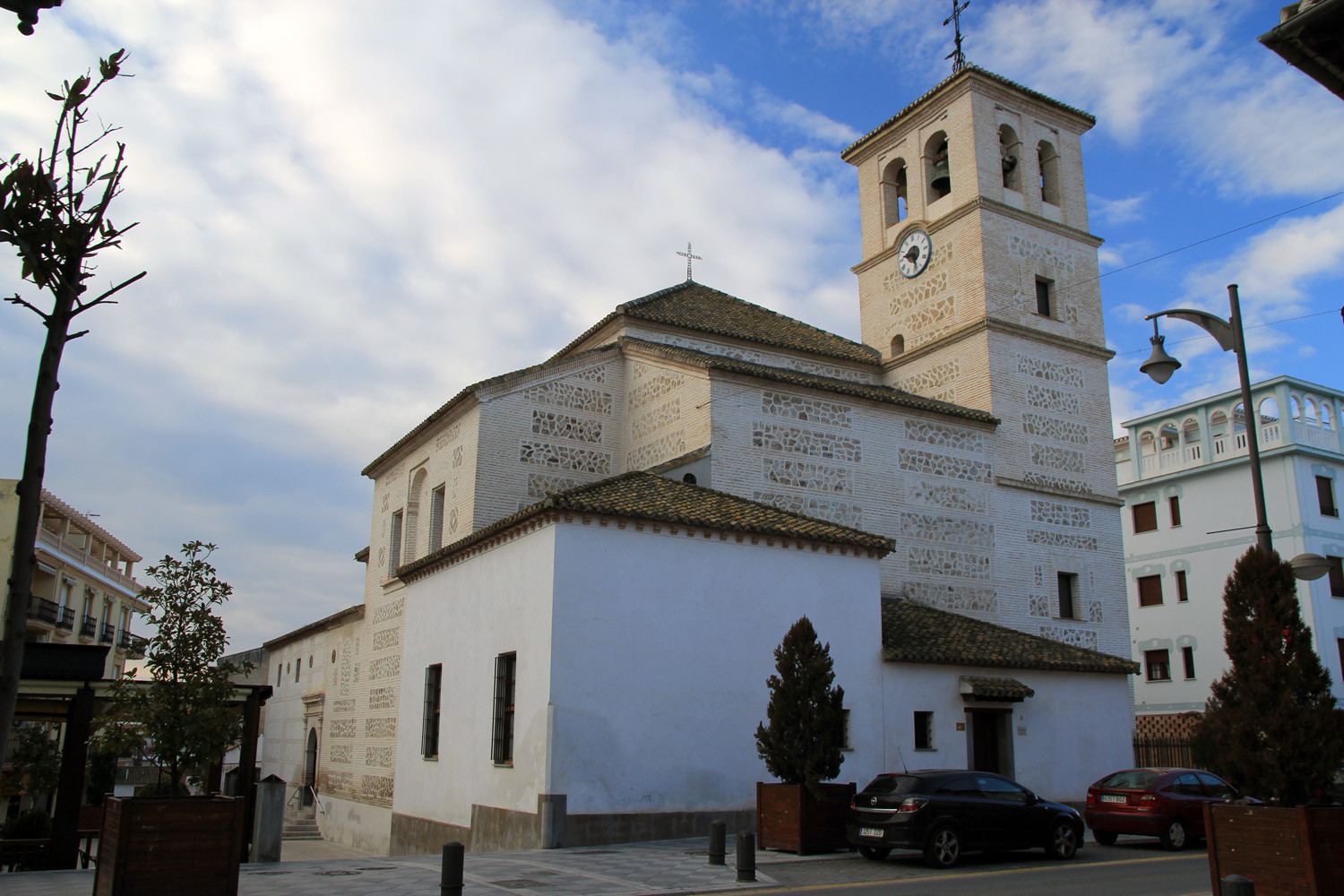


Photo Gallery Viewpoint Canteras


Basic Information Atarfe
Atarfe (37°13′22″N 3°41′11″O)
Altitude: 605 meters
Population: 17.570 inhabitants (2014)
Distances:
Distance to Granada: 18 km
Distance to the beach: 76 km
Distance to Airport Malaga: 130 km
Distance to Airport Granada: 11 km
Touristic level: low - medium - high
Authentic level: low - medium - high
Facilities:
- Supermarkets: yes
- Banks: yes
- Restaurants: yes
- Bars: yes