
The village is situated at 739 meters above sea level and has 8.306 inhabitants (2014). The archaeological remains found in the town dating from prehistoric times testify the origins of Alhendín. From Roman times there are also remains of its inhabitants. Under Muslim rule a fortress which now coexists camouflaged was built.
Its strategic position allowed Alhendin directly control over the communication channel between Vega and Valle de Lecrín, making Alhendín a place of continuous settlement, especially in the Muslim era. Today its a population has created industrial, commercial and service activities for the city of Granada.
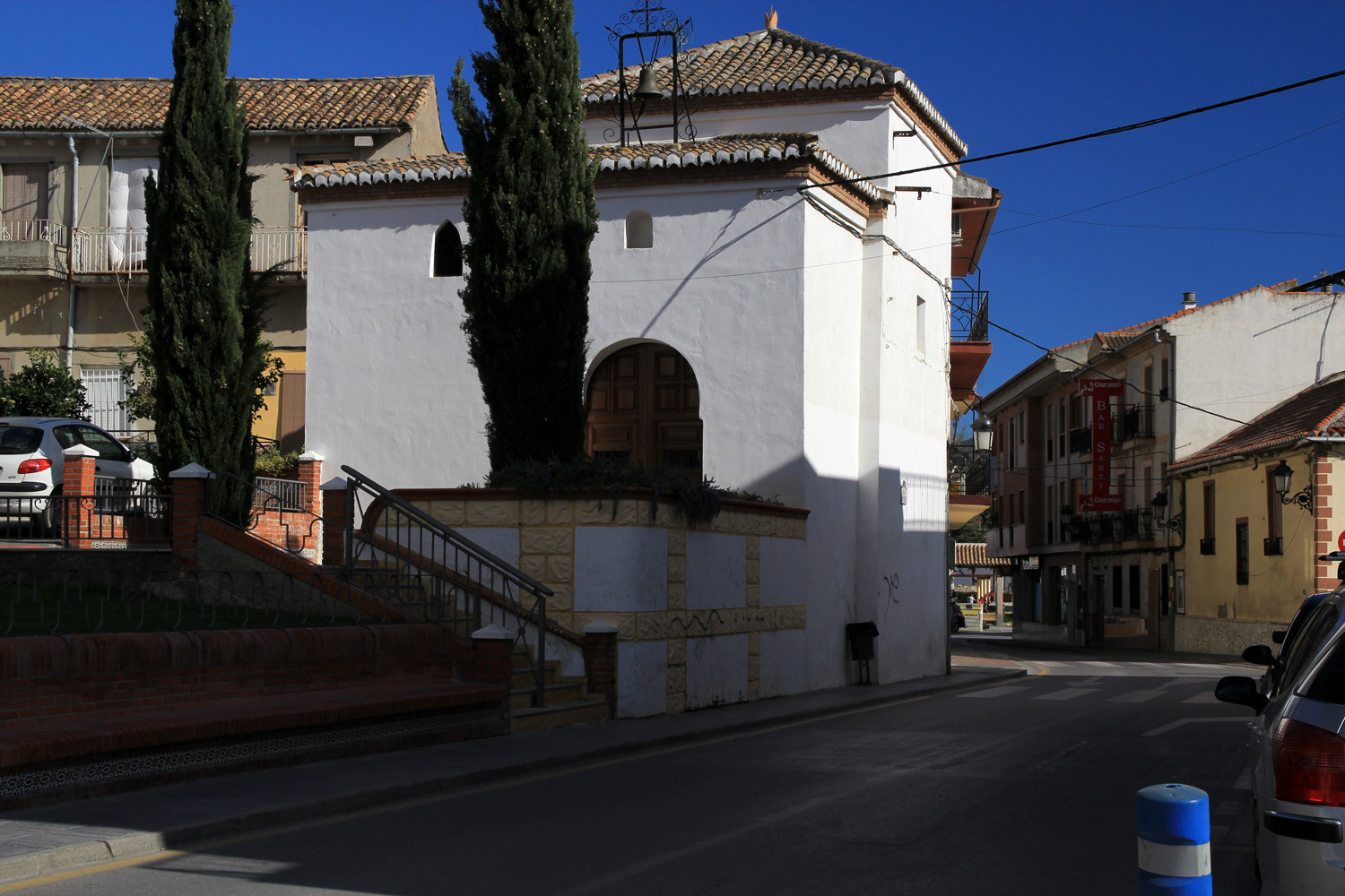
Points of Interest in Alhendín
- Church:

Festivities in Alhendín
- Alhendin is not publicating any festivities.
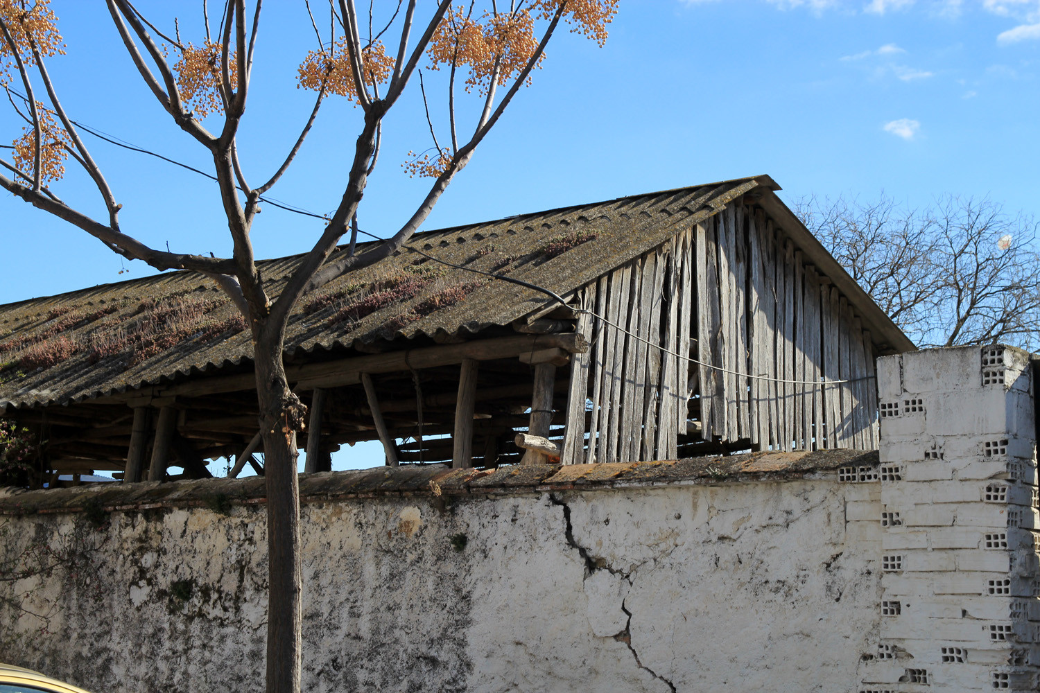
Photo Gallery of Alhendín


Basic Information Alhendín
Alhendín (37°06′28″N 3°38′45″O)
Altitude: 739 meters
Population: 8.306 inhabitants (2014)
Distances:
Distance to Granada: 14 km
Distance to the beach: 59 km
Distance to Airport Malaga: 147 km
Distance to Airport Granada: 28 km
Touristic level: low - medium - high
Authentic level: low - medium - high
Facilities:
- Supermarkets: yes
- Banks: yes
- Restaurants: yes
- Bars: yes