
The village is situated at 926 meters above sea level and has 1317 inhabitants (2014). The first human settlement in the area is dating back to the Bronze Age,. Remains have been found in the prehistoric cave Cerro Castellón. unfortunately this cave is not open for public.
However from the Bronze Argárico to the Arabs time in the XI century there is no data, so it could be an uninhabited place. In the Nasrid period it was the border with the Christian territories, so a fortified castle was built for defense, of which nothing remains today.

Festivities in Campotéjar
- In the last weekend in April a festival in honor of Virgen de los Remedios is celebrated;
- The town fair is celebrated in the first week of September.

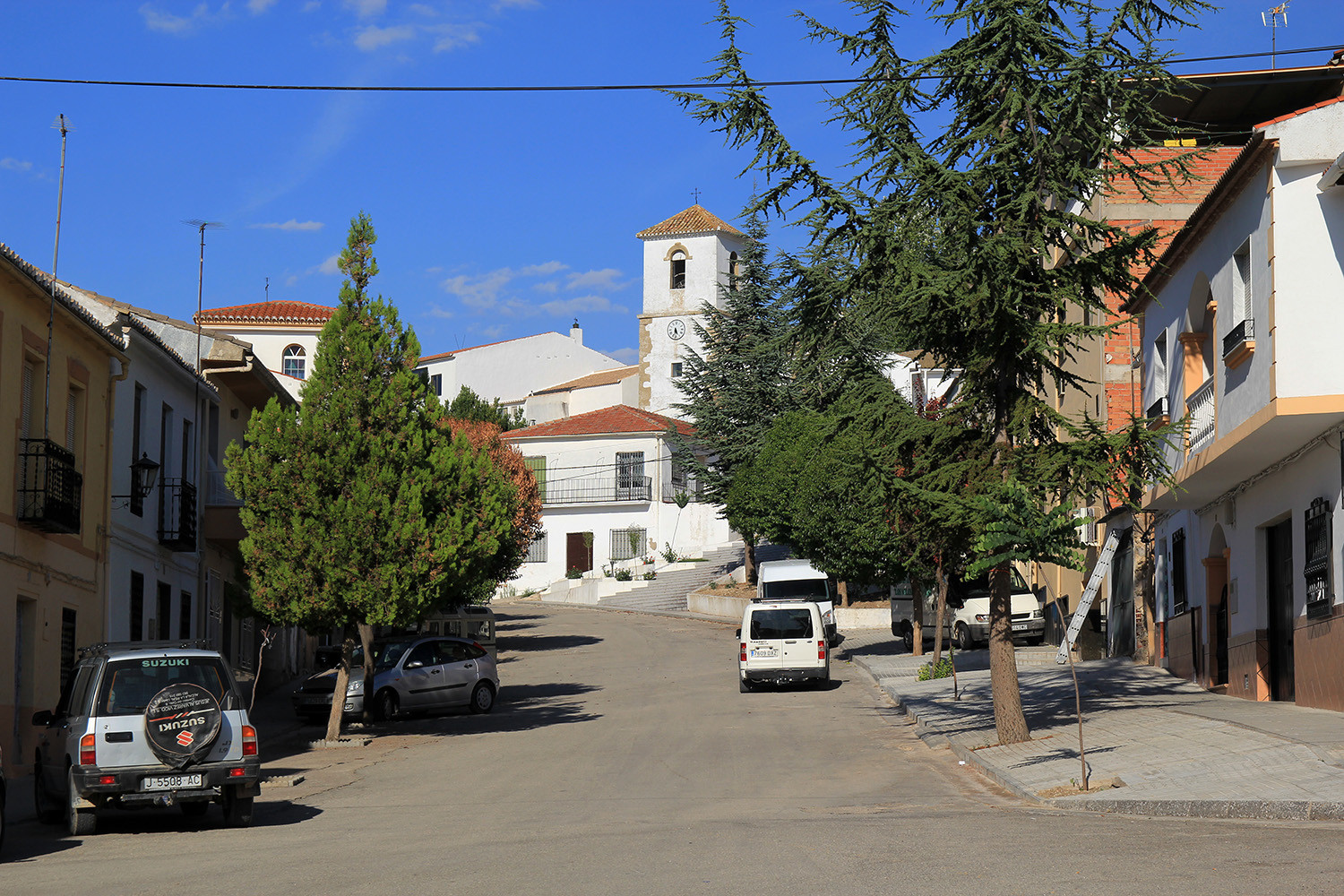
Points of Interest Campotéjar
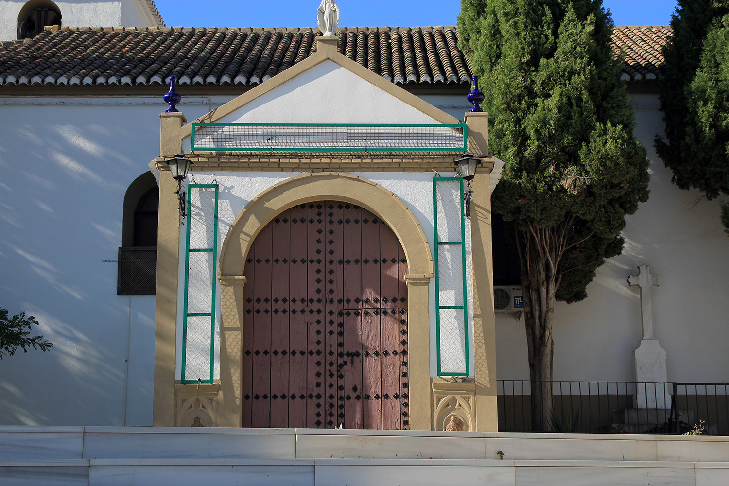
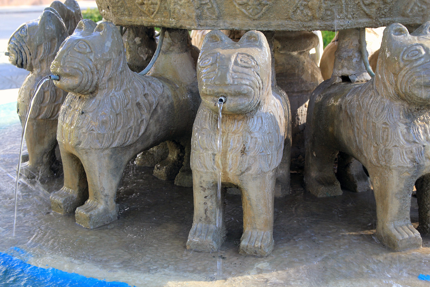
- La Casa Grande (house in Mudejar style), El Pilar (XVI century);
- Iglesia parroquial del Cristo de la Expiración;
- Well: "El Pilar"
- Natural cave: Cueva del Cerro de Castellon.

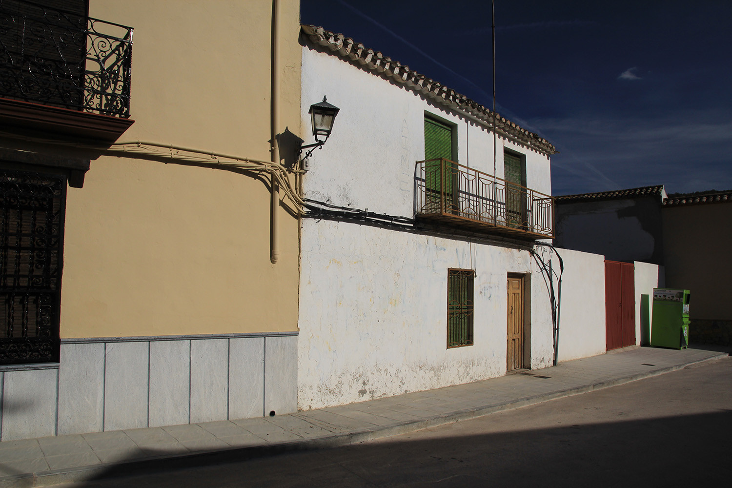
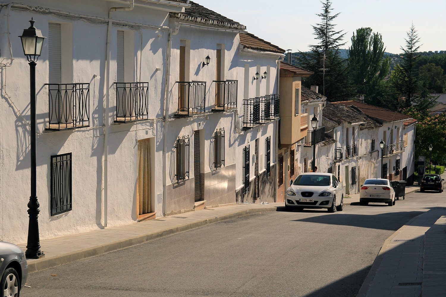
Photo Gallery Campotéjar


Basic Information Campotéjar
Campotéjar (37°28′53″N 3°37′00″O)
Altitude: 926 meters
Population: 1317 inhabitants (2014)
Distances:
Distance to Granada: 48 km
Distance to the beach: 111 km (Motril)
Distance to Airport Malaga: 169 km
Distance to Airport Granada: 50 km
Touristic level: low - medium - high
Authentic level: low - medium - high
Facilities:
- Supermarkets: yes
- Banks: yes
- Restaurants: yes
- Bars: yes