
This village is located at 865 meters above sealevel in the riverbed of the Guadahortuna and has 685 inhabitants (2014). In this area they have found remains of the Bronze age. At the Cortijo El Penon, four kilometers from the town, you can see the popular Stone of Solana, a kind of natural fortress, which is located at 1233 meters above sealevel. It is a steep area that is formed by three huge rocks that must have been served as a refuge for the inhabitants of the area in medieval times, as confirmed by the remains found there.

Festivities in Alamedilla
- Fiestas: On the 25th of August they celebrate the traditional fiesta in honor of San Marcos.
- On the 1st of November the Fiesta de la Cachona is celebrated on the main square by preparing chestnuts with chocolate.

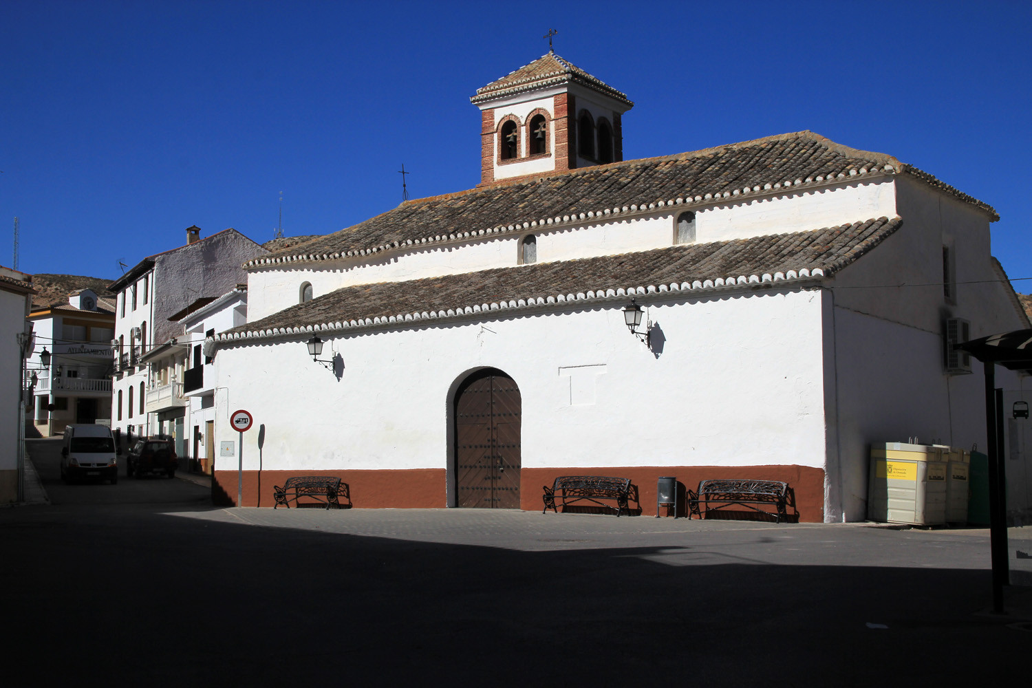
Points of Interest in Alamedilla
- Línea Ferroviaria de Media Distancia 71, between Granada and Linares.
- Train station of Alamedilla.
- Museum of Alamedilla.
- Bridge: Puente del Hacho.

Photo Gallery of Alamedilla


Basic Information Alamedilla
Alamedilla (37°34′54″N 3°14′40″O)
Altitude: 865 meters
Population: 685 inhabitants (2014)
Distances:
Distance to Granada: 77 km
Distance to the beach: 141 km (Motril)
Distance to Airport Malaga: 199 km
Distance to Airport Granada: 80 km
Touristic level: low - medium - high
Authentic level: low - medium - high
Facilities:
- Supermarkets: yes
- Banks: yes
- Restaurants: yes
- Bars: yes