
Huétor-Tájar as a township born after the union of the farmsteads of Huétor and Tajara, after the destruction of the latest one in 1483. It is situated on the fertile plain that has been created by the river Genil. This gives the town an important agricultural wealth, highlighting the green asparagus. On top of this agricultural base a major food industry was settled like canned asparagus and artichokes. Asparagus have a special place in the local cuisine, featuring dishes that are based on asparagus and other products like jam or liquor that are made of it.
The village has some historic monuments among them the Tower of Huétor, nestled in the center a few meters from the Parish Church, retains this Moorish tower. Also the remains of the ancient fortress Tajara are preserved and are located in the hamlet of Las Torres.
To the municipality belongs also Venta Nueva, La Estación, Las Torres and Esperanza.
Points of Interest in Huétor-Tájar
- Arabic Tower: Torreón de Huétor;
- Fortress: Fortaleza de Tájara (BIC);
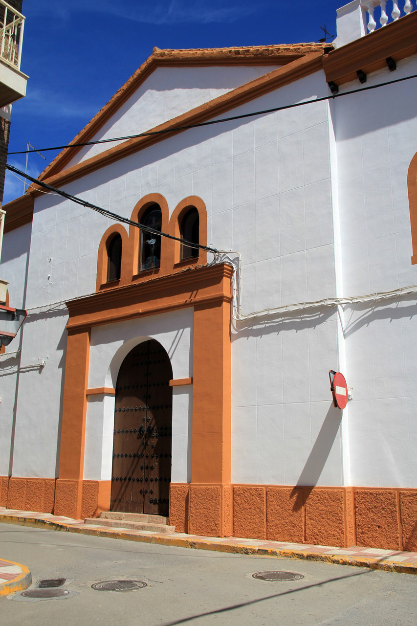
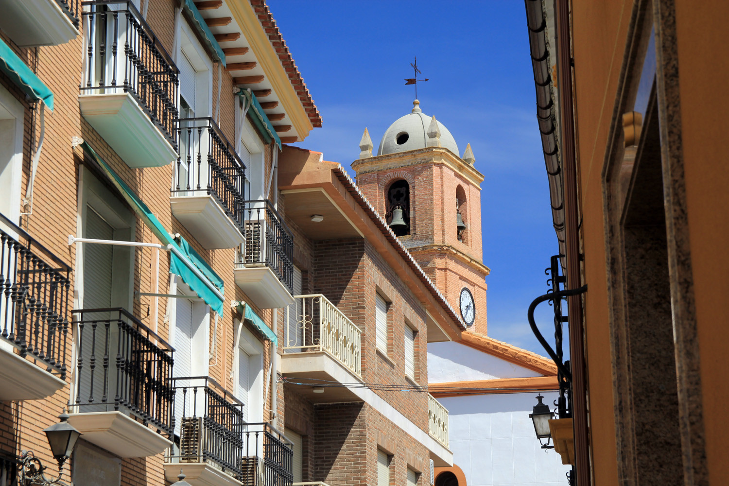
- Church: Iglesia Parroquial Santa Isabel (15th century);
- Viewpoint: Mirador de la Vega;
- Park: Parque de los Patos;
- mill: el molino de la Tajarilla

Festivities in Huétor-Tájar
- The dia de Candelaria is celebrated on the night before the 2nd of February;
- The Festival of Collecting the Asparagus is celebrated in March;
- On the 25th of April San Marcos is celebrated with food and drinks on the country side;
- On the 3rd of May the day of the cross is celebrated;
- In the weekend closest to the 15th of August the celebration in honor of San Isidro Labrador is held;
- The fair in honor of the patron Nuestro Padre Jesús Nazareno is held on the 15th of September;
- With chrismas the village has the largest navity scene of Spain, last year this atracted over 16.000 vistiants.
Photo Gallery of Huétor-Tájar


Basic Information Huétor-Tájar
Huétor-Tájar (37°11′47″N
4°02′49″O)
Altitude: 484 meters
Population: 10.075 inhabitants (2014)
Distances:
Distance to Granada: 45 km
Distance to the beach: 86 km (Malaga)
Distance to Airport Malaga: 97 km
Distance to Airport Granada: 33 km
Touristic level: low - medium - high
Authentic level: low - medium - high
Facilities:
- Supermarkets: yes
- Banks: yes
- Restaurants: yes
- Bars: yes