
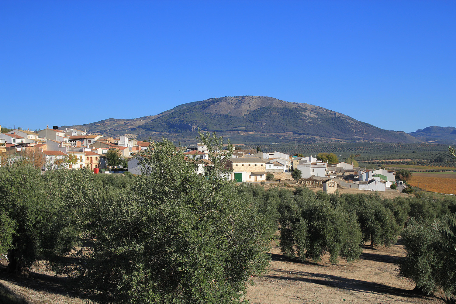
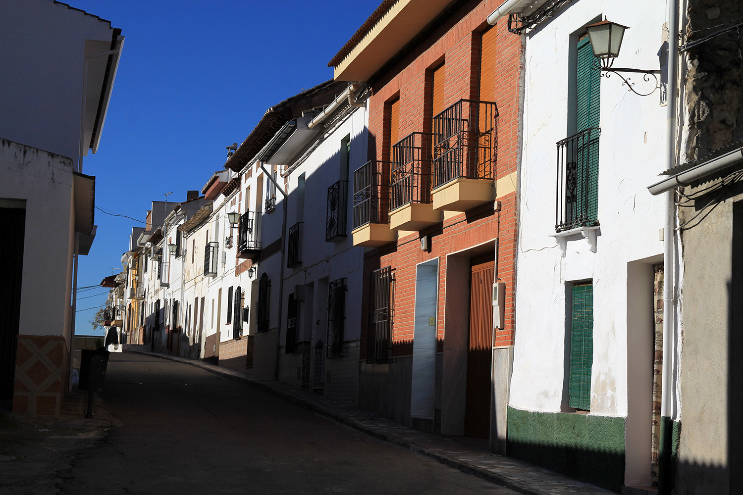
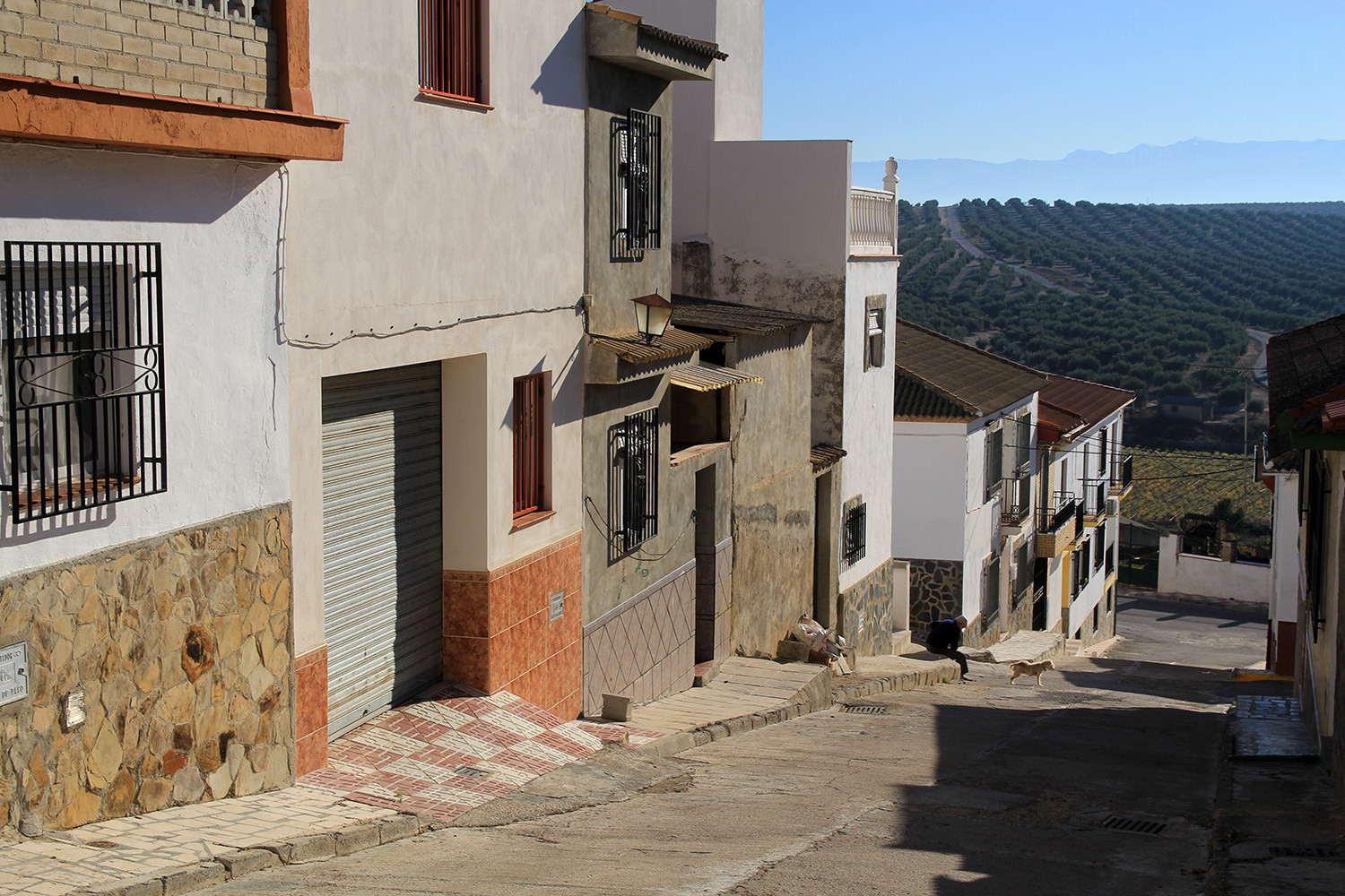
The village is part of the municipality of Íllora and located at the base of the Sierra de Parapanda about 12 km from Illora. It has an attractive natural landscape and has beautiful, well-kept farm houses. The population is mainly engaged to agriculture.
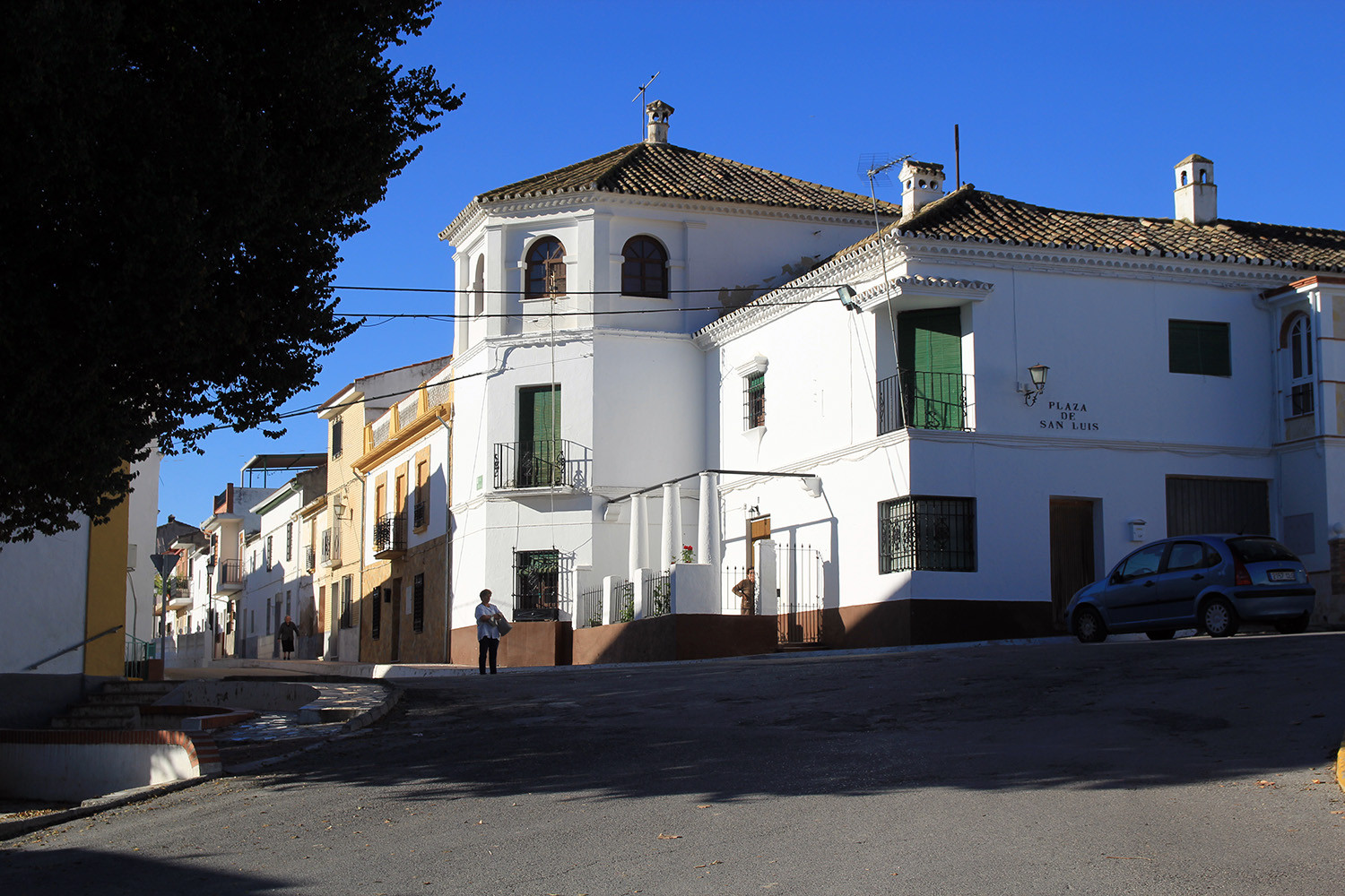
The most remarkable monuments of this town are the Torre de la Encantada, octagonal, and in Moorish period was responsible for monitoring the plain of the Genil; and the Chapel of the Dávila, a religious building constructed in the nineteenth century on the square of San Luis.
Festivities in Brácana
- In the 3rd weekend of August are the festivities held in honor of the patron "Nuestra Señora de las Mercedes". Note the extraordinary pilgrimage to the picnic place beside the river Genil that is part of these celebrations.

Points of Interest in Brácana
- Tower:Torre de la Encantada,
- Church
- Chapel; Capilla de los Dávila
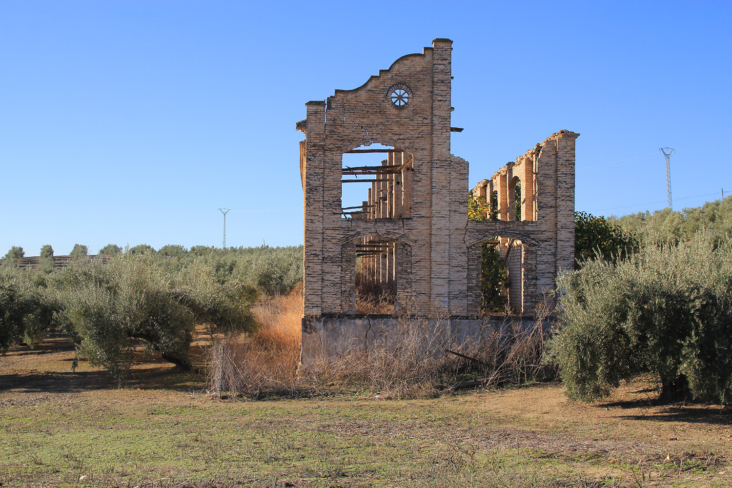
Photo Gallery of Brácana


Basic Information Brácana
Brácana (37°13′36″N 3°56′41″O)
Altitude: 570 meters
Population: 425 inhabitants (2009)
Distances:
Distance to Granada: 40 km
Distance to the beach: 96 km (Malaga)
Distance to Airport Malaga: 108 km
Distance to Airport Granada: 23 km
Touristic level: low - medium - high
Authentic level: low - medium - high
Facilities:
- Supermarkets: yes
- Banks: yes
- Restaurants: no
- Bars: yes