
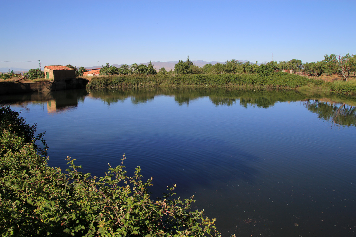
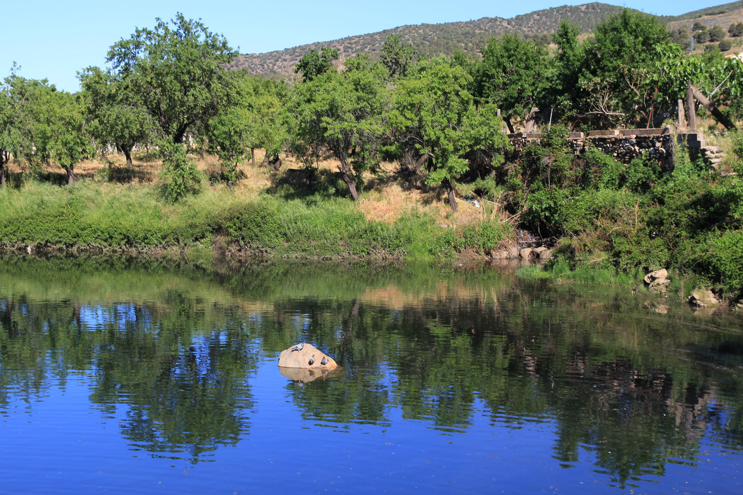
It is a small town that has very familiar habits. Much of his municipality is located in the Sierra Nevada National Park so it is a very good location for starting your excursions. It is for example one of the starting points for climbing up to the Picon de Jerez, one of the three thousand meters of Sierra Nevada. There is a very nice recreational area located just two kilometers from the village, with picnic tables and small bridges crossing the river.
Points of Interest in Lanteira
Points of Interest:
- Castle ruins: Castillo del Barrio;
- Fortress de la Reina;
- Castle ruin: Castillo del Barranco del Secano (12th century);
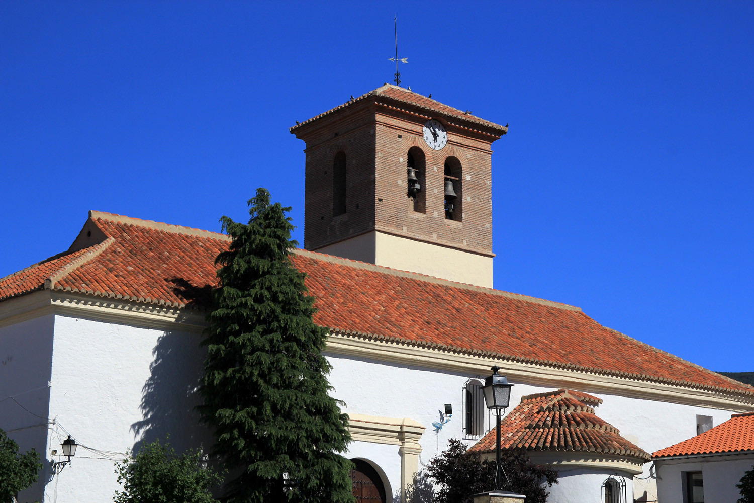
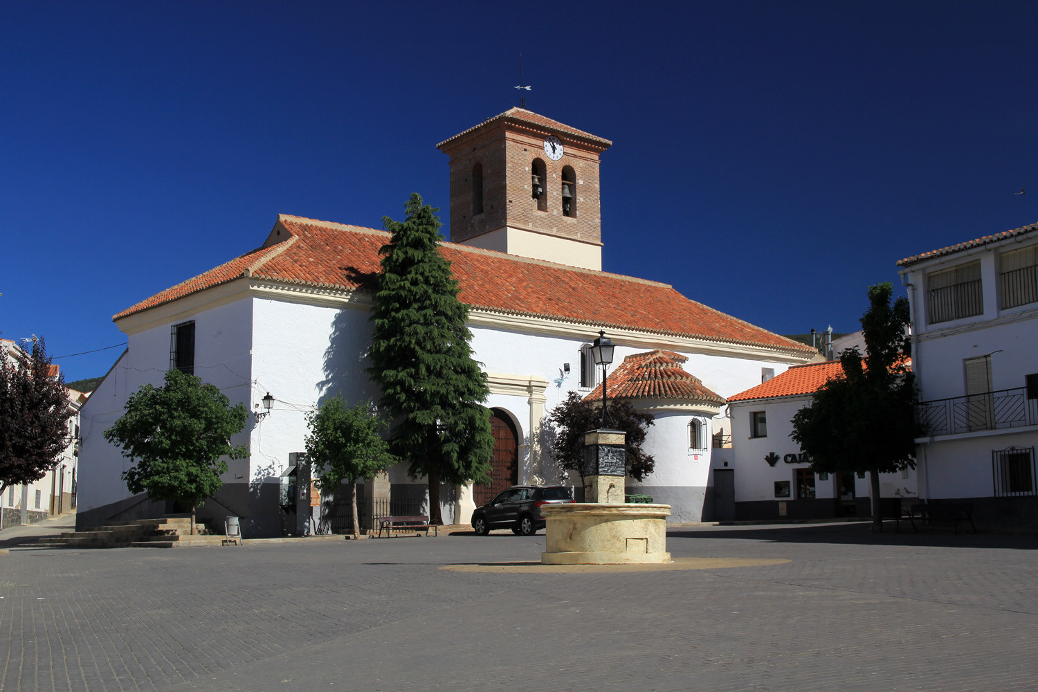
- Church: Iglesia de Santa María de la Anunciación (16th century);
- Picnic area, Waterfall Rio del Pueblo;
- Natural Park Sierra Nevada,
- Waterfalls Sierra Nevada

Festivities in Lanteira
Fiestas:
- From the 13th till the 17th of September the festivities in honor of Santo Cristo de las Penas are celebrated (processions);
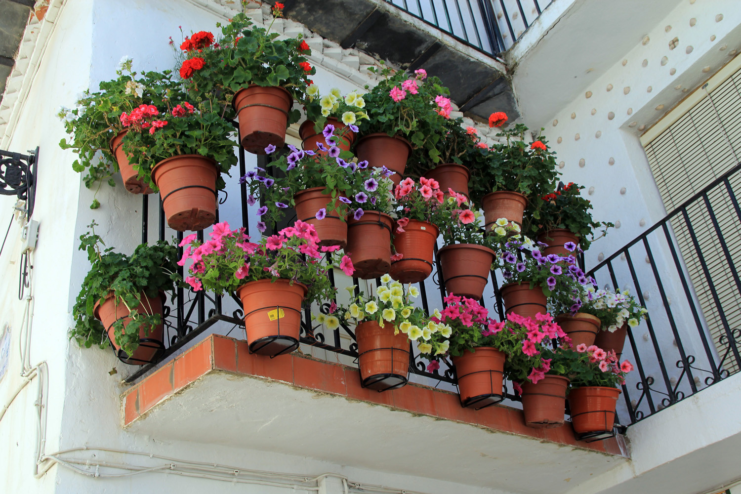
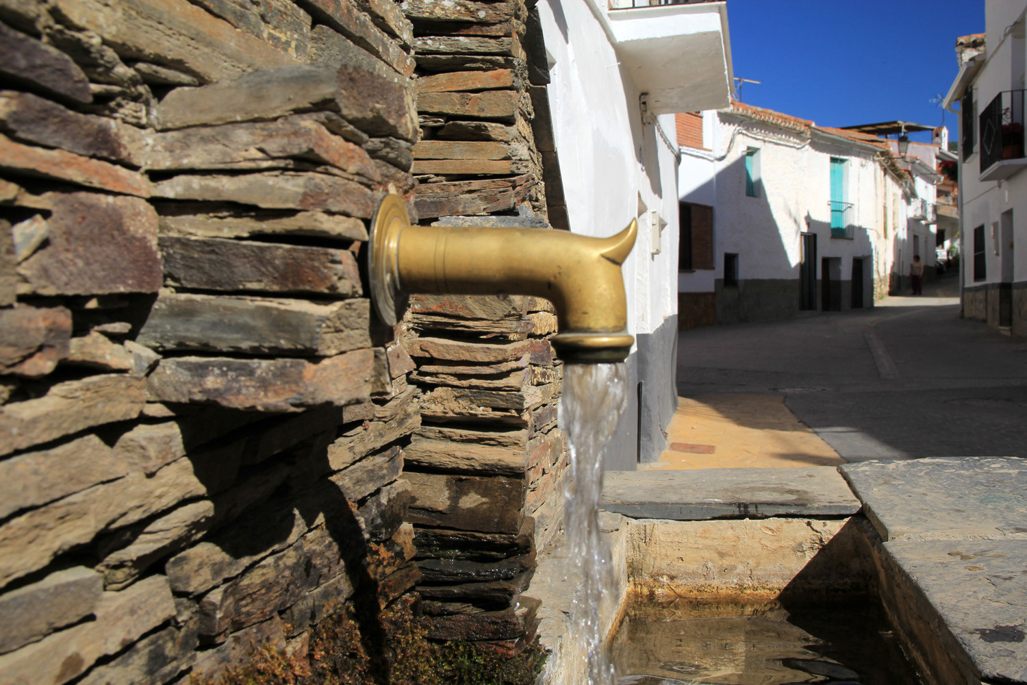
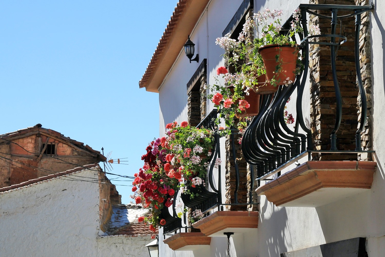
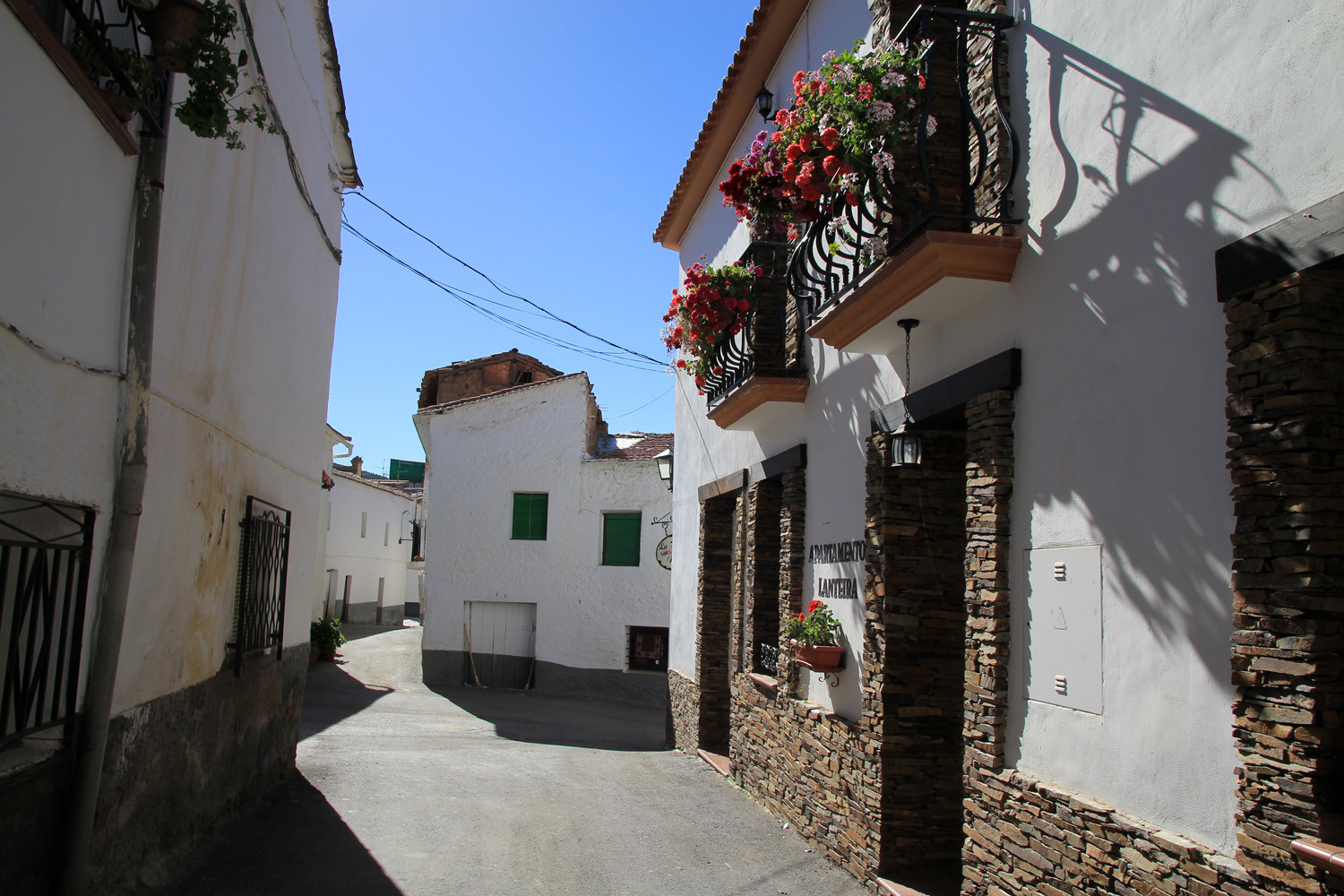
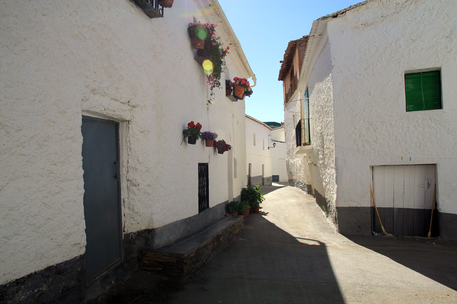
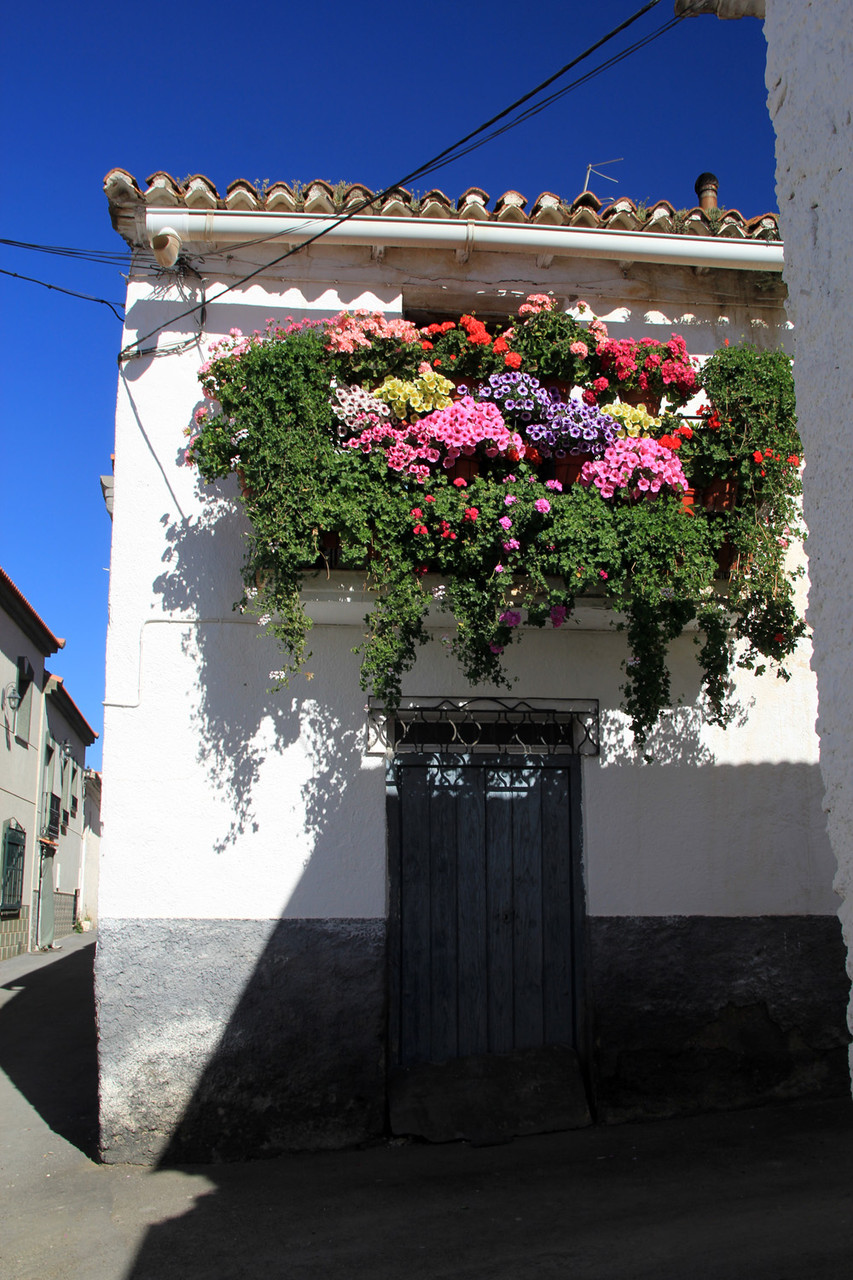
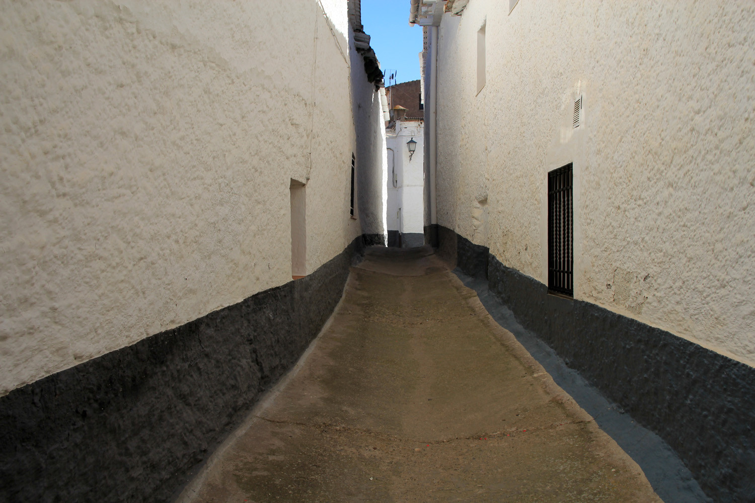
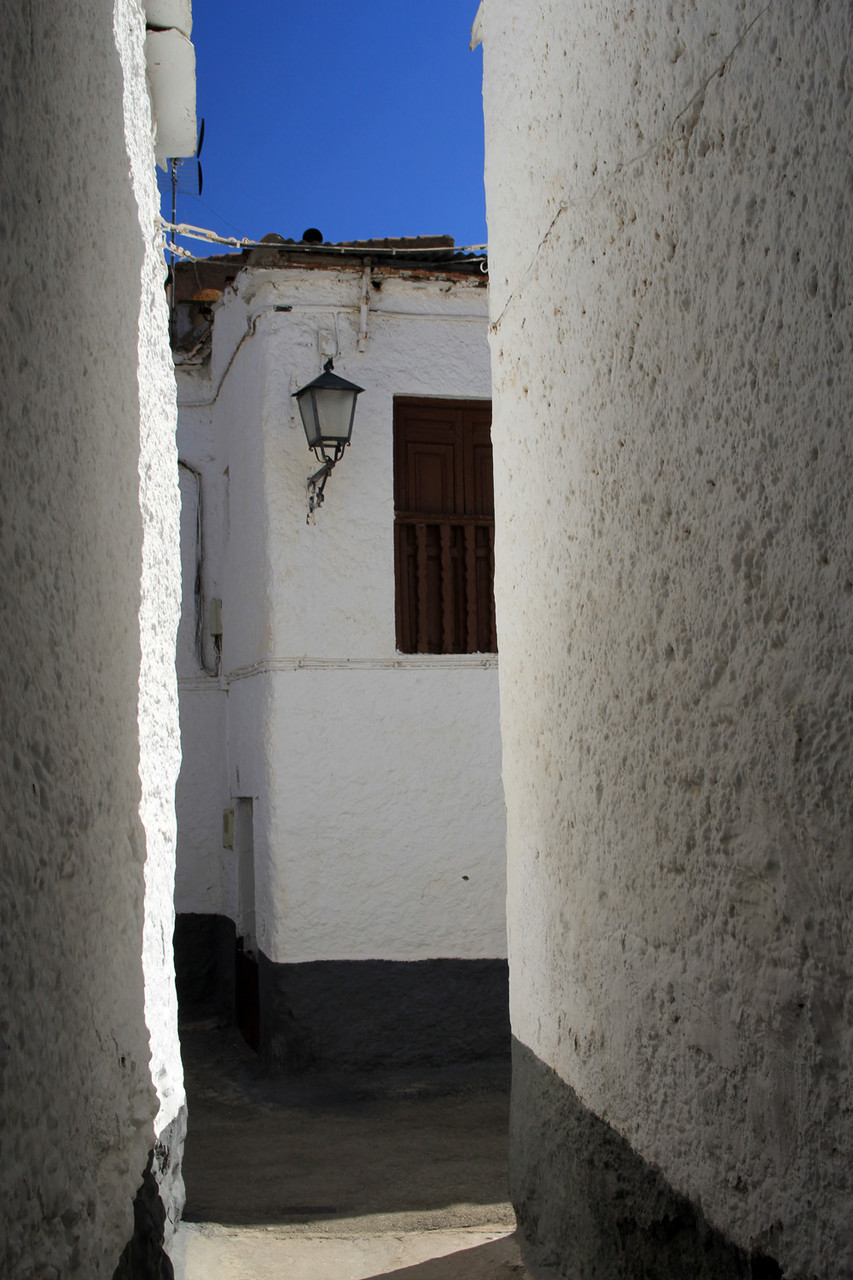
Photo Gallery of Lanteira


Basic Information Lanteira
Lanteira (37°10′08″N 3°08′19″O)
Altitude: 1278 meters
Population: 526 inhabitants (2014)
Distances:
Distance to Granada: 83 km
Distance to the beach: 83 km (Adra)
Distance to Airport Malaga: 216 km
Distance to Airport Granada: 97 km
Touristic level: low - medium - high
Authentic level: low - medium - high
Facilities:
- Supermarkets: no
- Banks: yes
- Restaurants: yes
- Bars: yes