
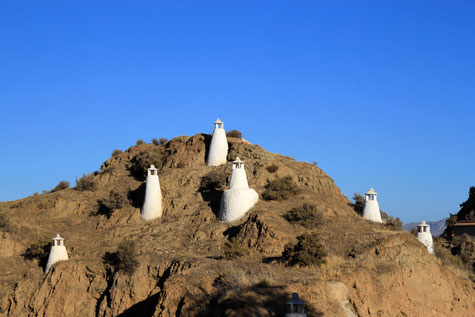
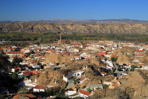
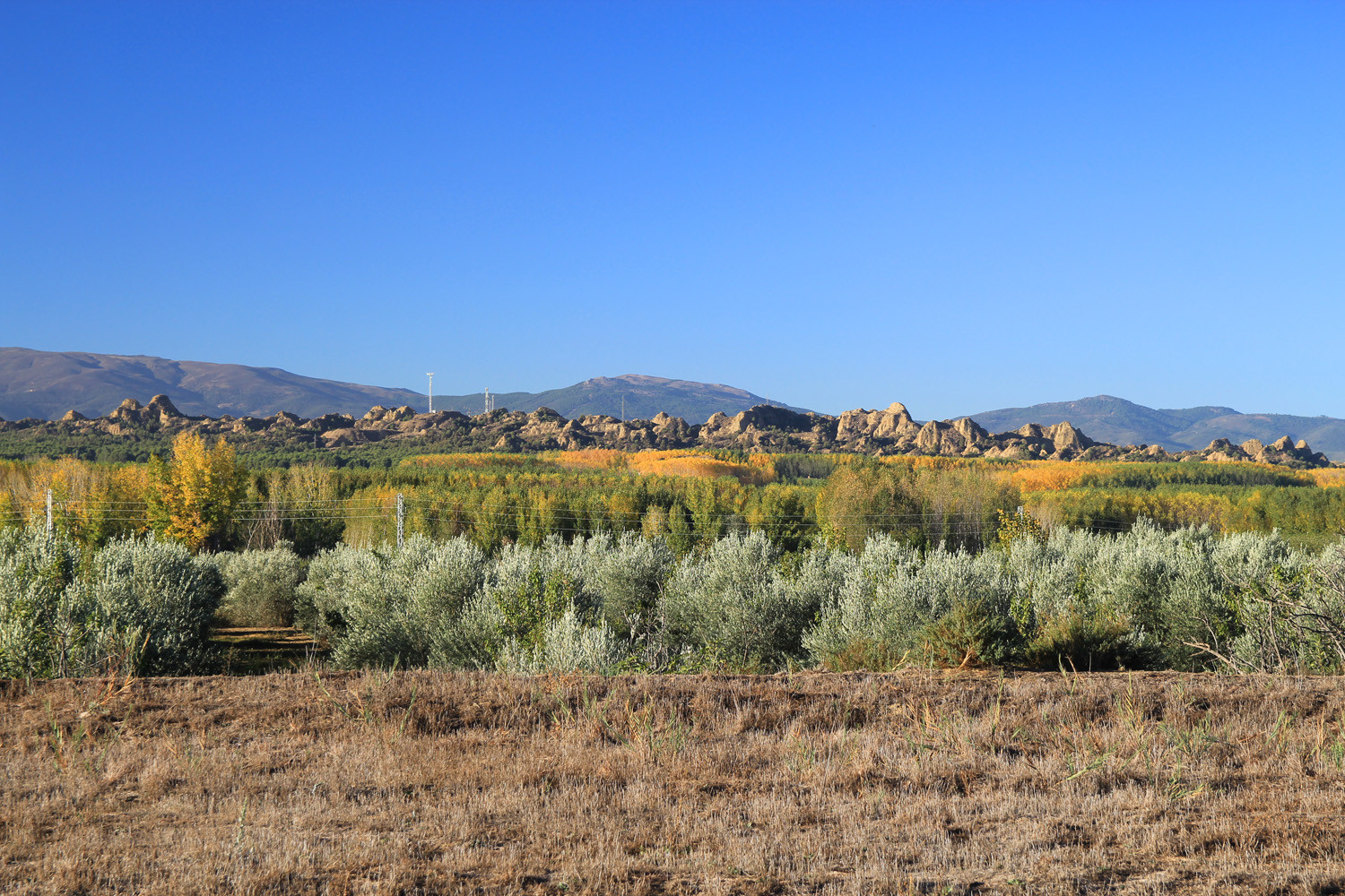
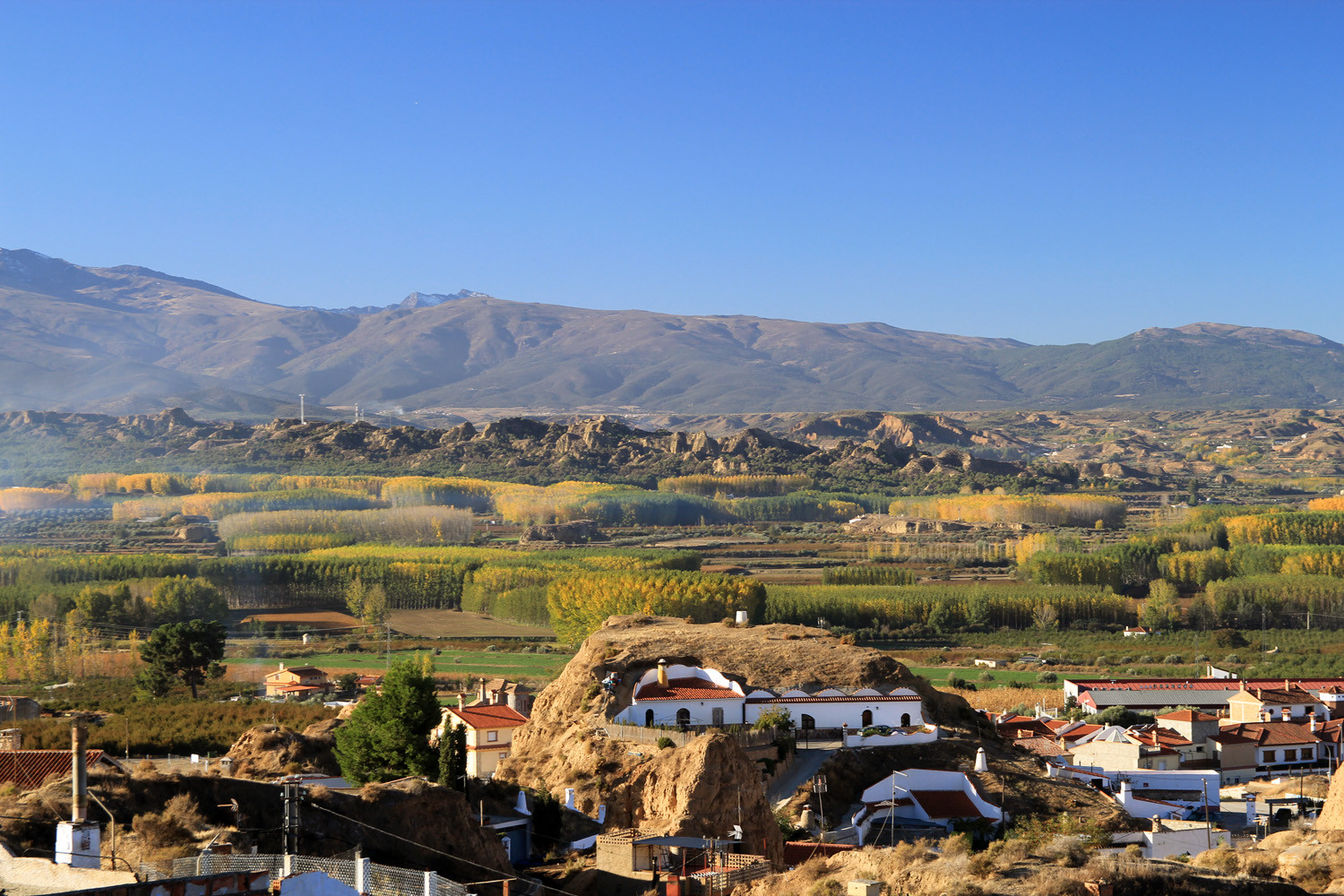
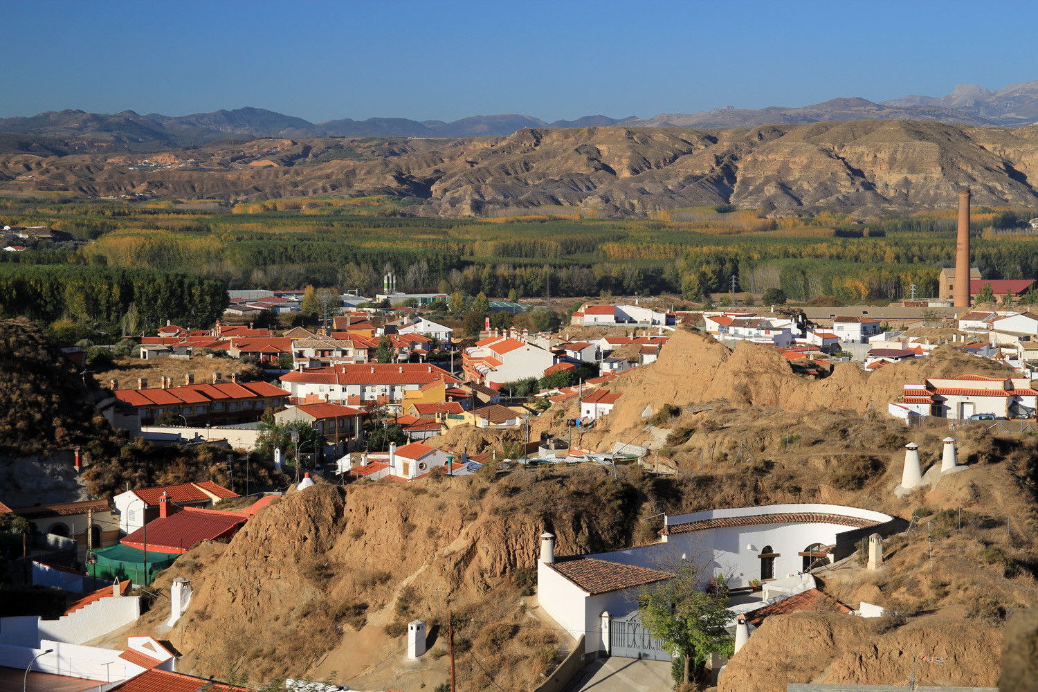
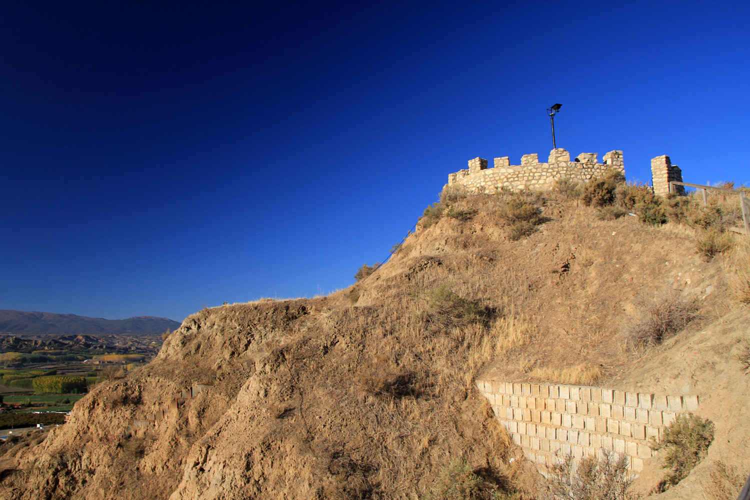
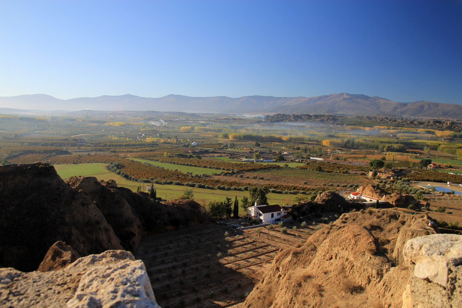
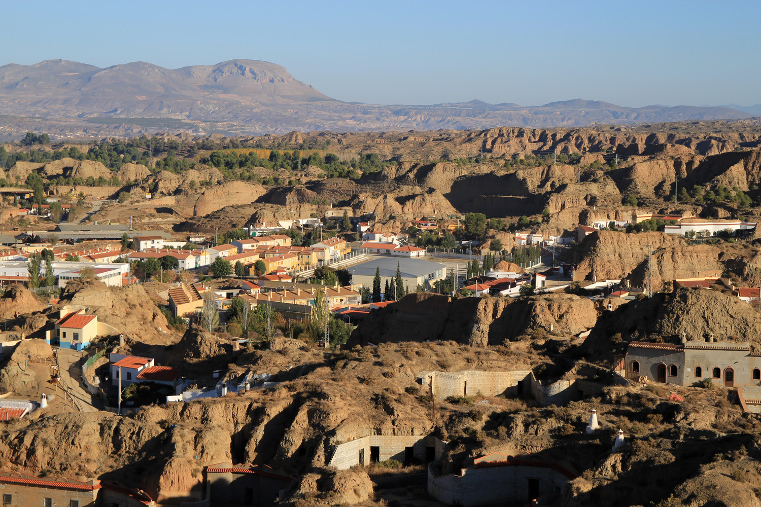
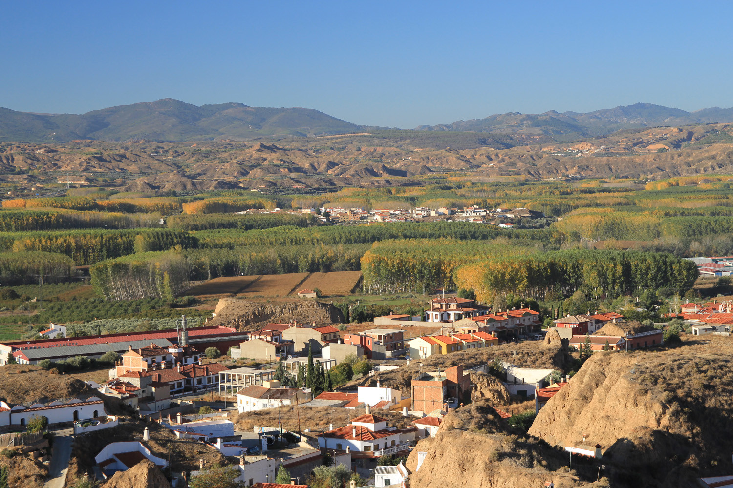
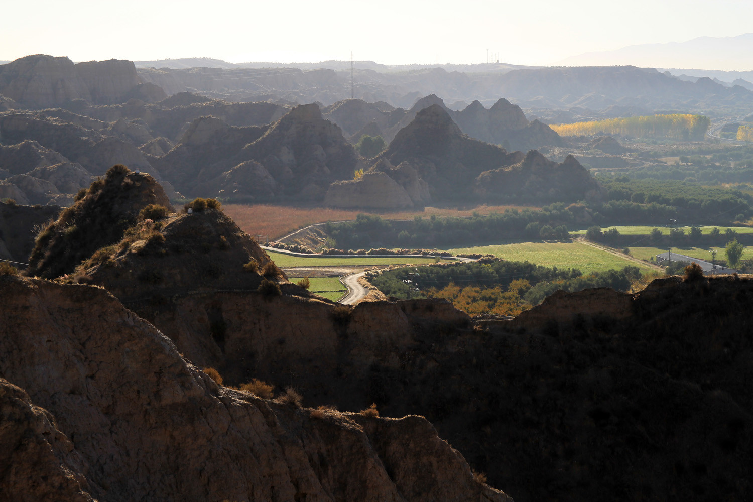
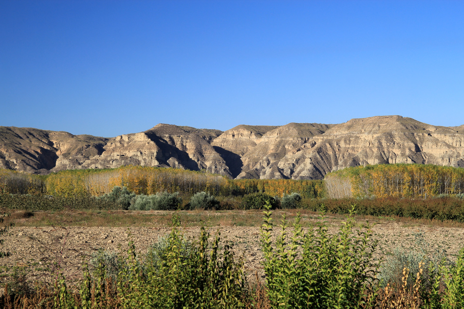
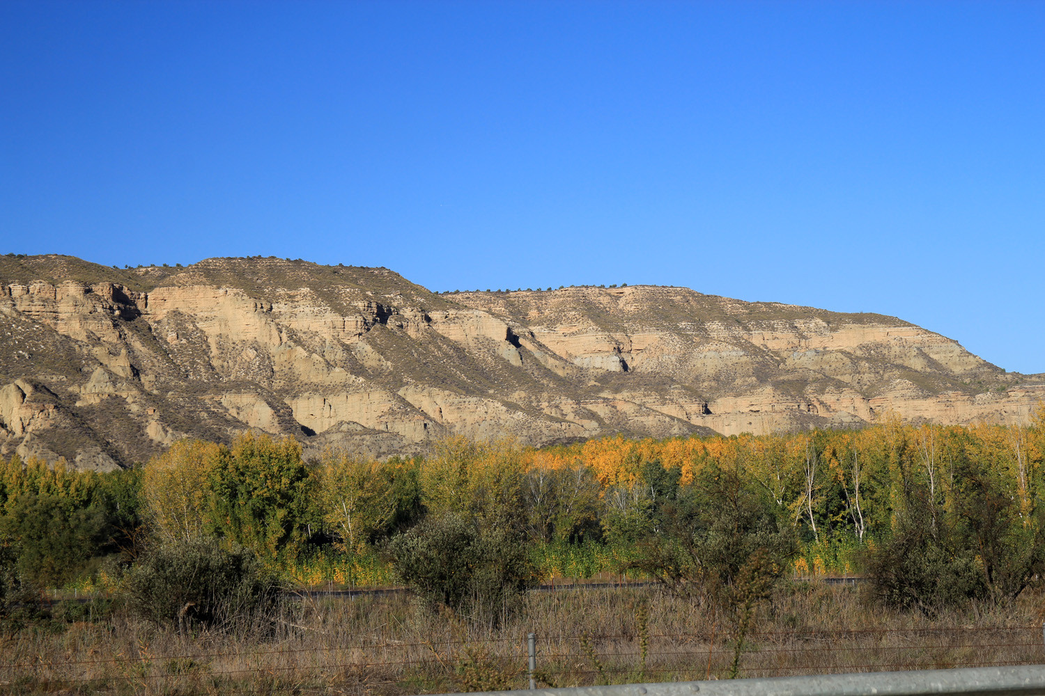
The town of Benalúa is situated in the middle of the Hoya de Guadix in the confluence of the rivers Fardes and Guadix. Formed by high clay soils and gullies to the east (or badlands) and irrigated lands west. The village has an average altitude of 886 meters, reaching the highest point on the hill Kabila (930 m). The town has one of the smaller tracts of the province, hence its high population density.
Points of Interest in Benalúa
- Church: La Iglesia de Nuestra Señora del Carmen (16th century);
- Guide visit Winery: Bodega Pago de Almaraes.
Festivities in Benalúa
- San Antón is celebrated in the night from the 16th on the 17th with the traditional street fires;
- San Torcuato is celebrated on the 15th of May;
- Around the 16th of August are the festivities held in honor de la Santísima Virgen del Carmen;
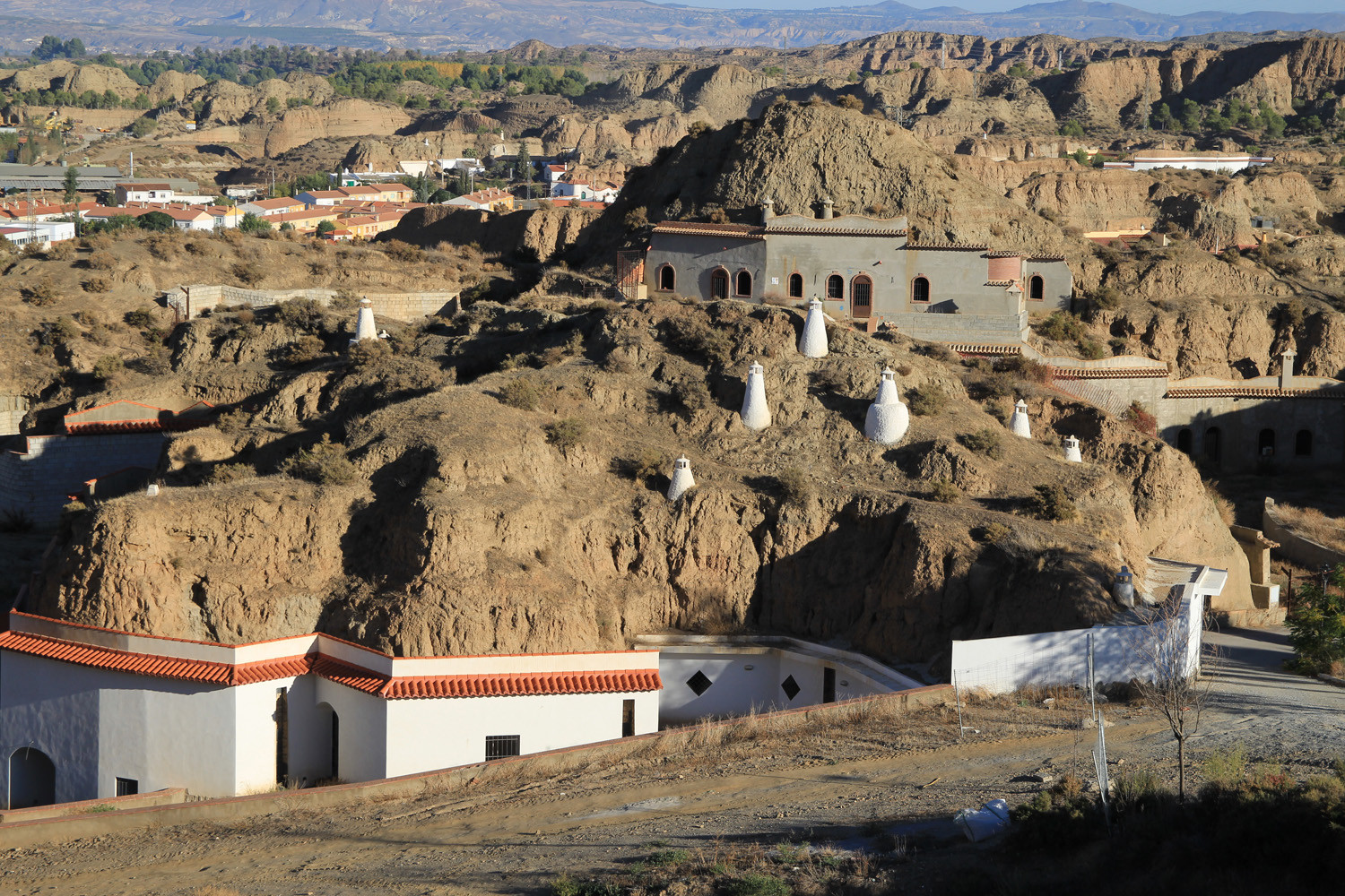
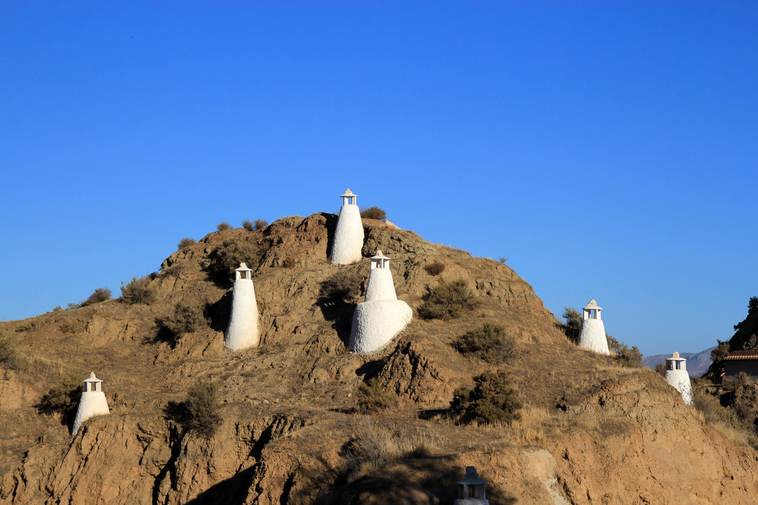
Photo Gallery of Benalúa


Basic Information Benalúa
Benalúa (37°20′59″N 3°10′07″O)
Altitude: 886 meters
Population: 3296 inhabitants (2014)
Distances:
Distance to Granada: 57 km
Distance to the beach: 113 km (Almeria)
Distance to Airport Malaga: 191 km
Distance to Airport Granada: 72 km
Touristic level: low - medium - high
Authentic level: low - medium - high
Facilities:
- Supermarkets: yes
- Banks: yes
- Restaurants: yes
- Bars: yes