
The village is located 760 meters above sea level and has 572 inhabitants (2013). The municipality contains the towns of Sorvilán, Alfornón, Melicena and Los Yesos. Located in the Alpujarra Baja, in the foothills of the Contraviesa, but coneceted with the sea through the annexation of other towns as Melicena and Los Yesos.
Sorvilán is a municipality of Islamic origin. Already in the eighth and ninth century it has established an effective irrigation system for its vineyards, improved later by the Moors and also by the Christian settlers after the expulsion of those. In the fourteenth century it became part of the Great tahá Zehel.
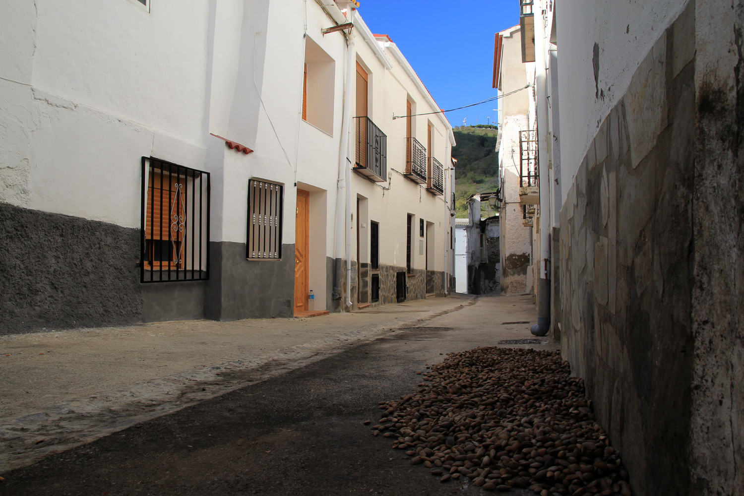
It is mainly built on a hill, so it had a good postion to keep off the largely pirate attacks in the 17th century. It is still producing wine, but has started with cultivating subtropical crops.

Points of Interest in Sorvilán
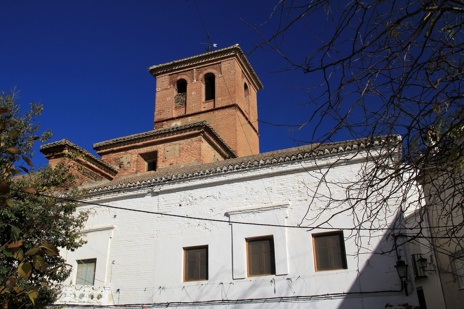
- Church; Iglesia parroquial de San Cayetano;
- Viewpoint; Mirador de la Cruz;
- Spring: Fuente Abajo;
- Watchtower of the Middle Ages, located on the coast, near Melicena;
- Remains of a Moorish castle in the Castillejo ravine;
- Beaches (see below).

Festivities in Sorvilán
- Night of San Juan: morning of June 24. In Melicena. Moraga, festivities and a swim in the sea.
- First weekend of August: The patron festivities of Los Yesos. Recreational, cultural and sporting activities.
- Fiesta de San Cayetano, patron of Sorvilán on the 6th, 7th and 8th of August: Night festivities, cultural and sporting activities, tasting crumbs ("migas") and a exhibition of the traditionions of the area. Including a procession.
- Feast of San Roque, patron of Alfornón on the 16th and the 17th of August; nightlife, cultural activities, sports and games. Including a procession.
- Festivities of Melicena: mid-August, no fixed date. Similar activities to the rest of the cores.

The Beaches of Sorvilán


Photo Gallery of Sorvilán


Basic Information Sorvilán
Sorvilán (36°47′40″N 3°16′03″O)
Altitude: 760 meters
Population: 572 (2013)
Distances:
Distance to Granada: 91 km
Distance to the beach: 11 km
Distance to Airport Malaga: 148 km
Distance to Airport Granada: 105 km
Touristic level: low - medium - high
Authentic level: low - medium - high
Facilities:
- Supermarkets: no
- Banks: no
- Restaurants: no
- Bars: no