
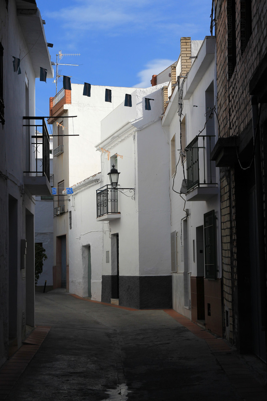
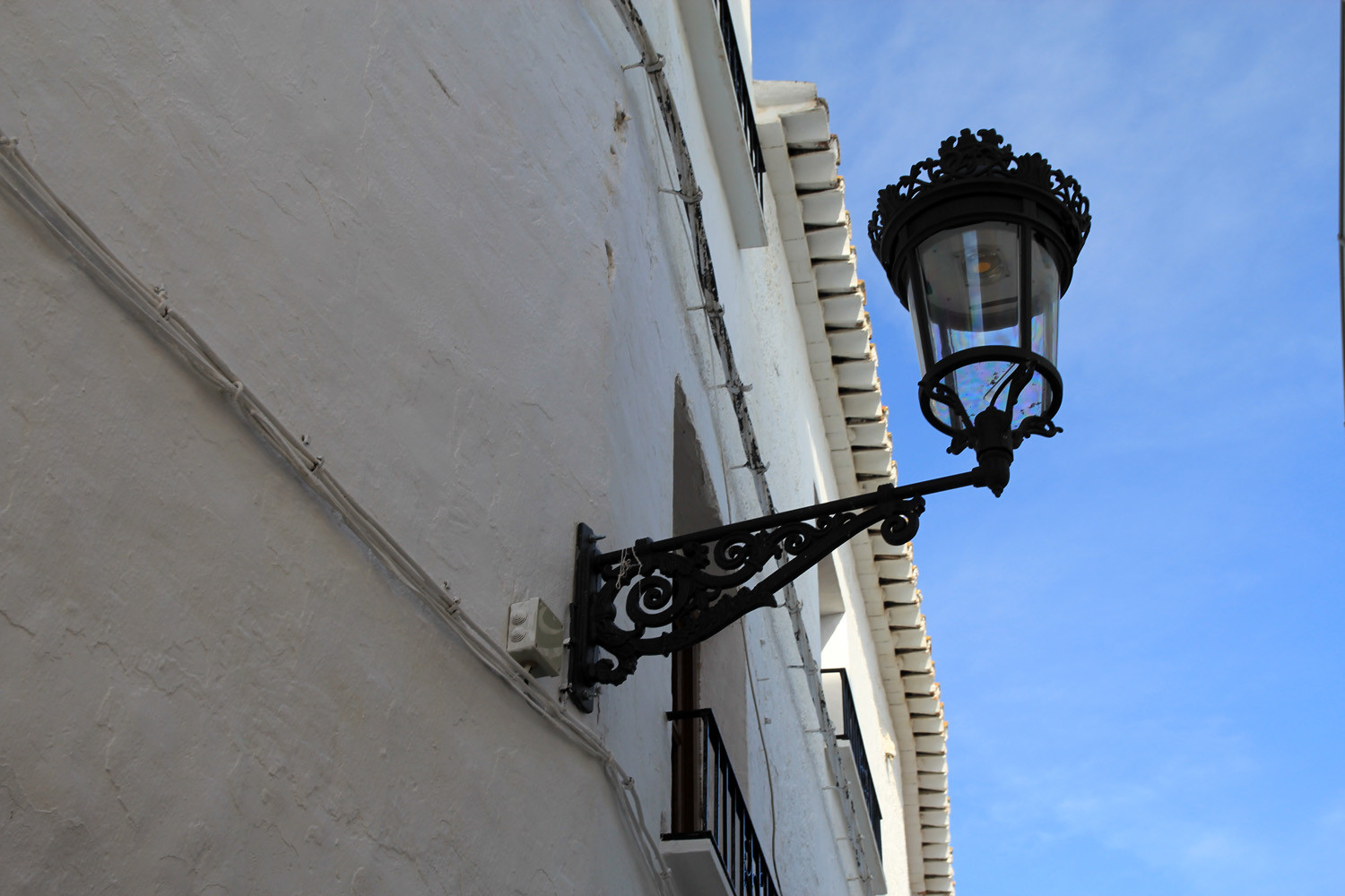
The village is located on 241 meters above sea level and has 2982 inhabitants (2013). The village is located in the foothills of the mountains of southern Granada, approximately seven kilometres from the coast. Its old town center, around the church square, is characterized by the influences of its ancient inhabitants, the Arabs. It has endless steep and narrow streets, whitewashed facades that are glowing in contrast with the different colors of the plants.
It is situated in a special microclimate; the annual average temperature is around 18 degrees and is receiving more than 3000 hours of sunshine each year which is causing warm winters and mild summers. Molvízar has a privileged rich landscape such as the valleys of the Costa Tropical and the open sea scapes.
Points of Interest in Molvízar
- Church: Iglesia Parroquial de Santa Ana (1785);
- Castle ruins: Castillo del Jaral situated at the hill Puntalón at a altitude of 842 meters (10th century);

Festivities in Molvízar
- On the 26th of July a festival is celebrated in honor of Santa Ana. On this festivity there is also a representation of the " Moros y Cristianos"
Photo Gallery of Molvizar


Basic Information Molvízar
Molvízar (36°47′13″N 3°36′27″O)
Altitude: 241 meters
Population: 2982 (2013)
Distances:
Distance to Granada: 71 km
Distance to the beach: 11 km
Distance to Airport Malaga: 101 km
Distance to Airport Granada: 84 km
Touristic level: low medium - high
Authentic level: low medium - high
Facilities:
- Supermarkets: yes
- Banks: yes
- Restaurants: yes
- Bars: yes