
The village is located 636 meters above sea level and has 346 inhabitants (2013). Lentejí is a beautiful village with narrow and steep streets located in the southern of the Sierra Almijara Mountains.
The village has kept a lot of it´s authentity. The surroundings are ideal to practice of trekking and other outdoor activities. From the places of Entresierra and the cortijadas of Aguas Blanquillas and Guardajama it is possible to enjoy magnificent views. The Sequero is a recreation area that is very well equipped with tables and stone benches.
Lentegi is close situated to the Natural Park Sierra Tejeda, Amijara and Alhama

Festivities in Lentegí
- From the 7th till the 9th of August the summer festivities are held;
- With Christmas the festivities in honor of the Virgen del Rosario are celebrated.

Points of Interest in Lentegí
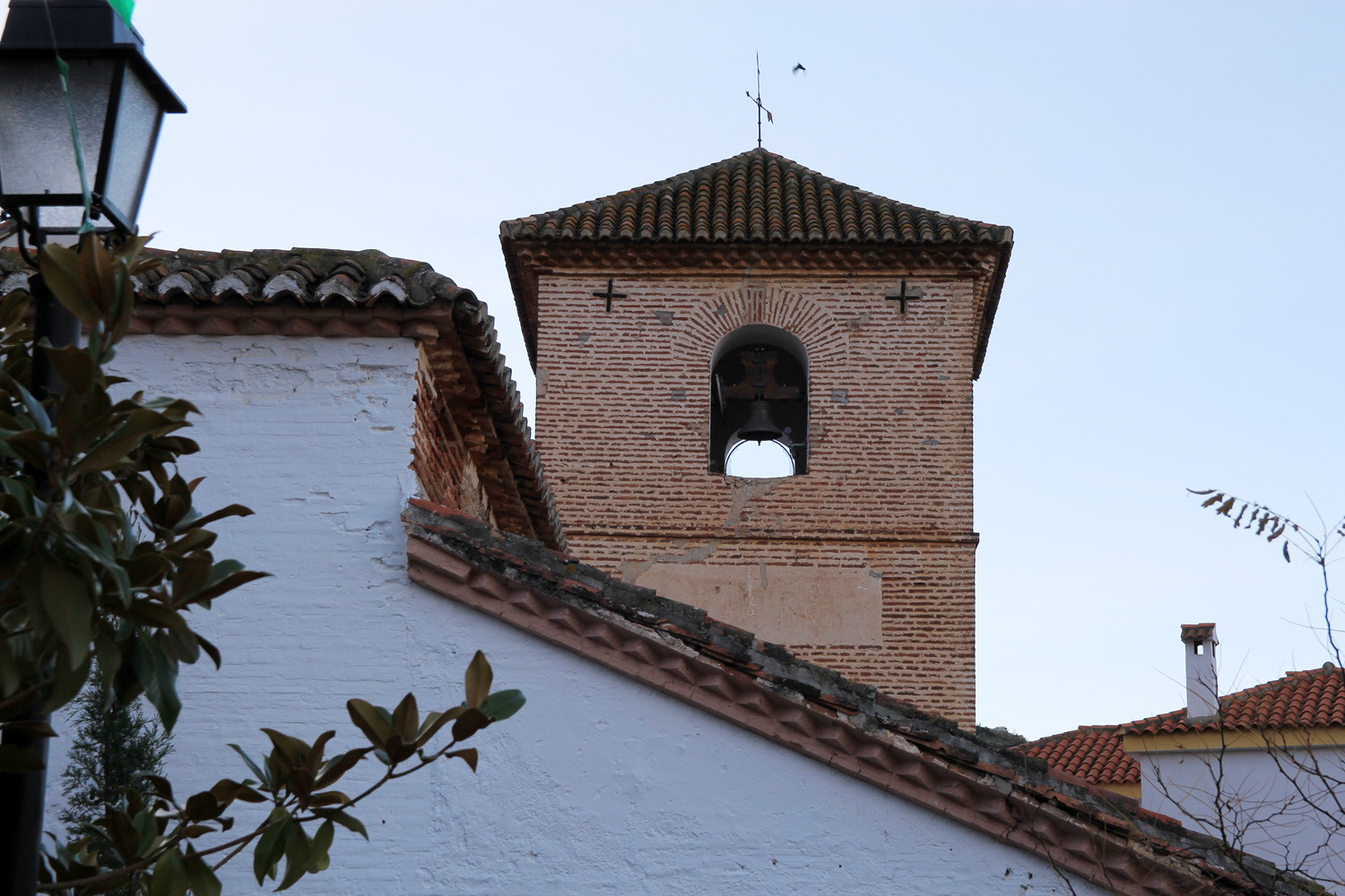
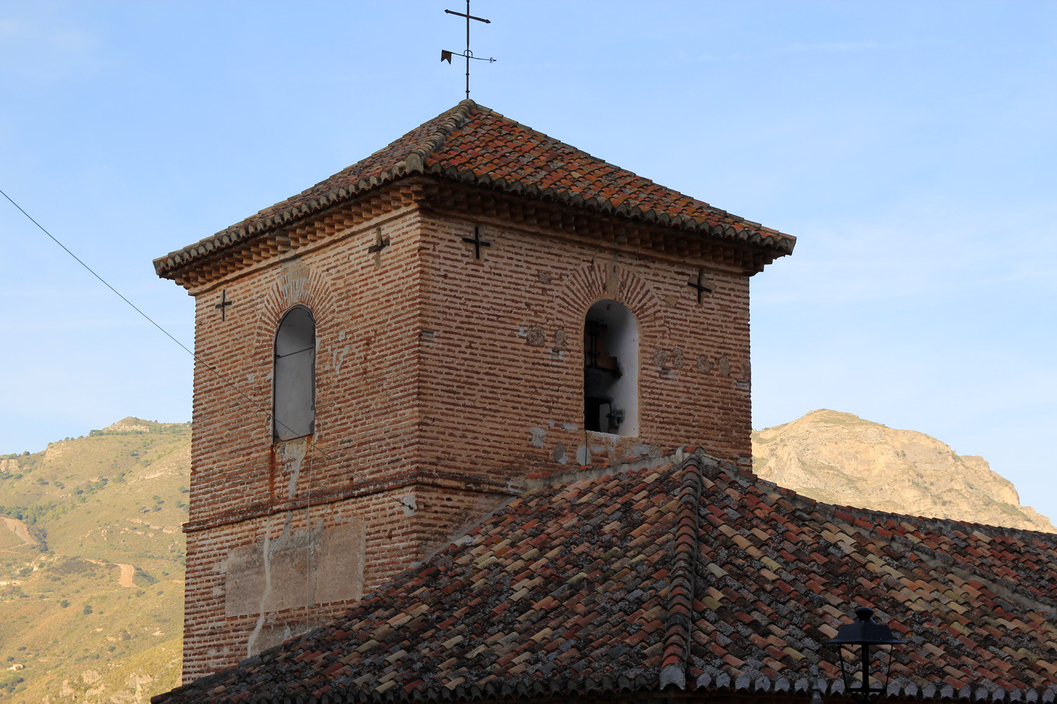
- Church: Iglesia Parroquial Nuestra señora del Rosario;
- Well: Fuente del Gato;
- Viewpoint: Mirador "Era del Peñón;
- Viewpoint: Mirador "Tajo de la Lola";
- Canyoning;
- Hiking tours.
- The Sequero; a recreation area
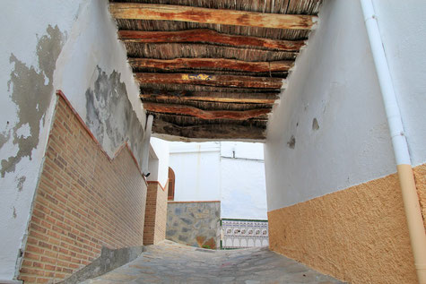
Photo Gallery of Lentegí


Basic Information Lentegí
Lentegí (36°50′04″N 3°40′28″O)
Altitude: 636 meters
Population: 346 (2013)
Distances:
Distance to Granada: 90 km
Distance to the beach: 18 km
Distance to Airport Malaga: 106 km
Distance to Airport Granada: 102 km
Touristic level: low - medium - high
Authentic level: low -medium - high
Facilities:
- Supermarkets: yes
- Banks: yes
- Restaurants: no
- Bars: yes