
The village is located 281 meters above sea level and has 601 inhabitants (2010). The village is part of the municipalty Los Guájares. Like the other two Guájares it is a very authentic village which is situated in a very beautiful valley.
The Valley of the Guájares is privileged for hiking because of the variety of its landscapes. There are three hiking tours that will you let encounter with: flora, birds, mushrooms, archaeological remains, traditional uses, etc.
Points of Interest in Guájar Faragüit
- Church: "Iglesia de San Lorenzo" (16th Century);
- Castle: "El Castillejo";
- Ancient irrigation channels "acequias"
- The whole viilage

Festivities in Guájar Faragüit
- On the 2nd of February the "Dia de Palmitos" is celebrated with having a picnic in the country side;
- At the end of April / beginning of May the cultural week is held with a lot of cultural activities;
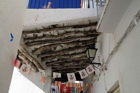
- Festivities in honor of "San Lorenzo" in Guájar Faragüit are celebrated from the 9th until the 11th of August.
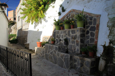
Photo Gallery of Guájar Faragüit


Basic Information Guájar Faragüit
Guájar Faragüit (36°50′30″N 3°35′02″O)
Altitude: 281 meters
Population: 601 (2013)
Distances:
Distance to Granada: 65 km
Distance to the beach: 19 km (Motril)
Distance to Airport Malaga: 113 km
Distance to Airport Granada: 78 km
Touristic level: low - medium - high
Authentic level: low - medium - high
Facilities:
- Supermarkets: yes
- Banks: yes
- Restaurants: no
- Bars: yes