
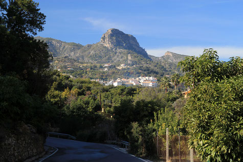
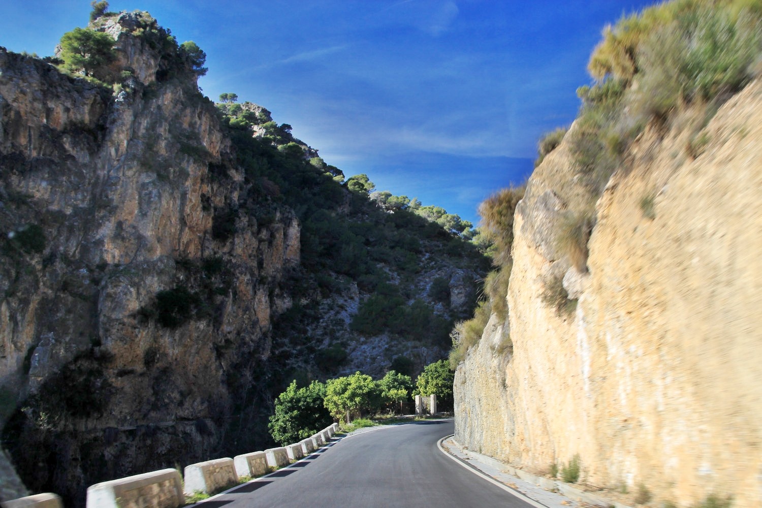
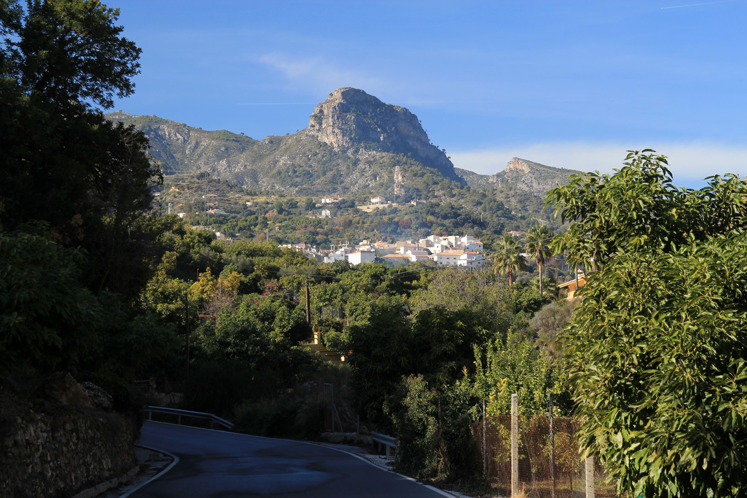
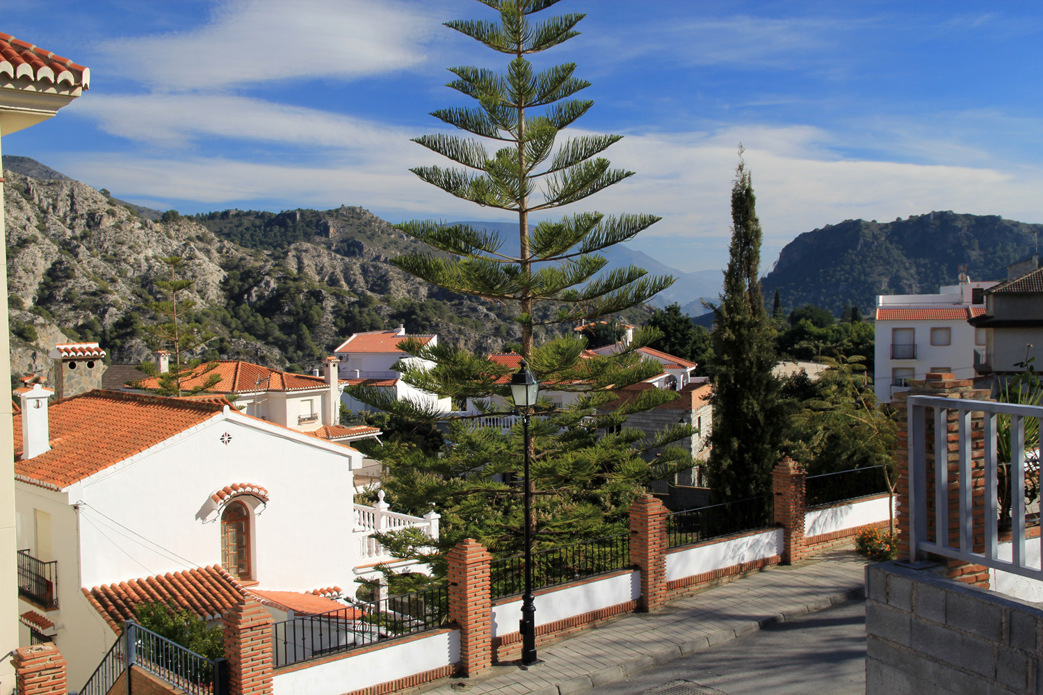
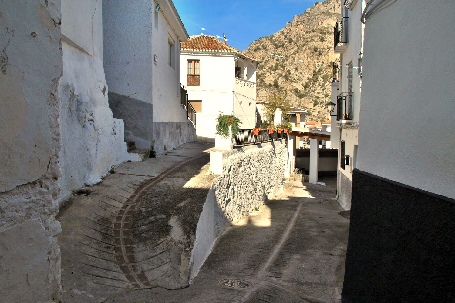
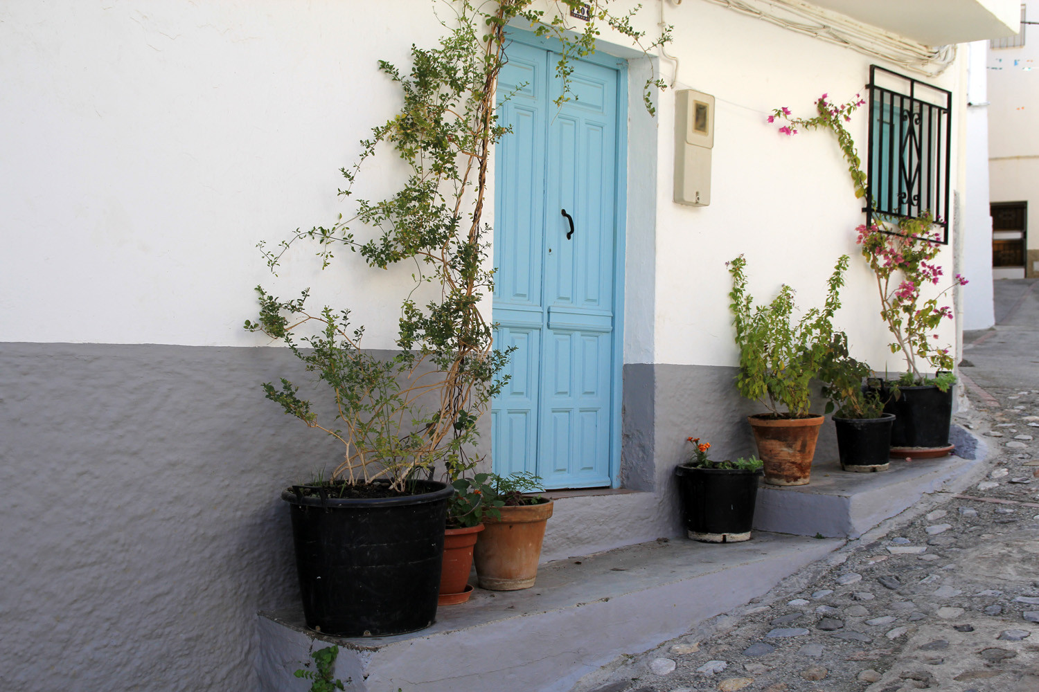
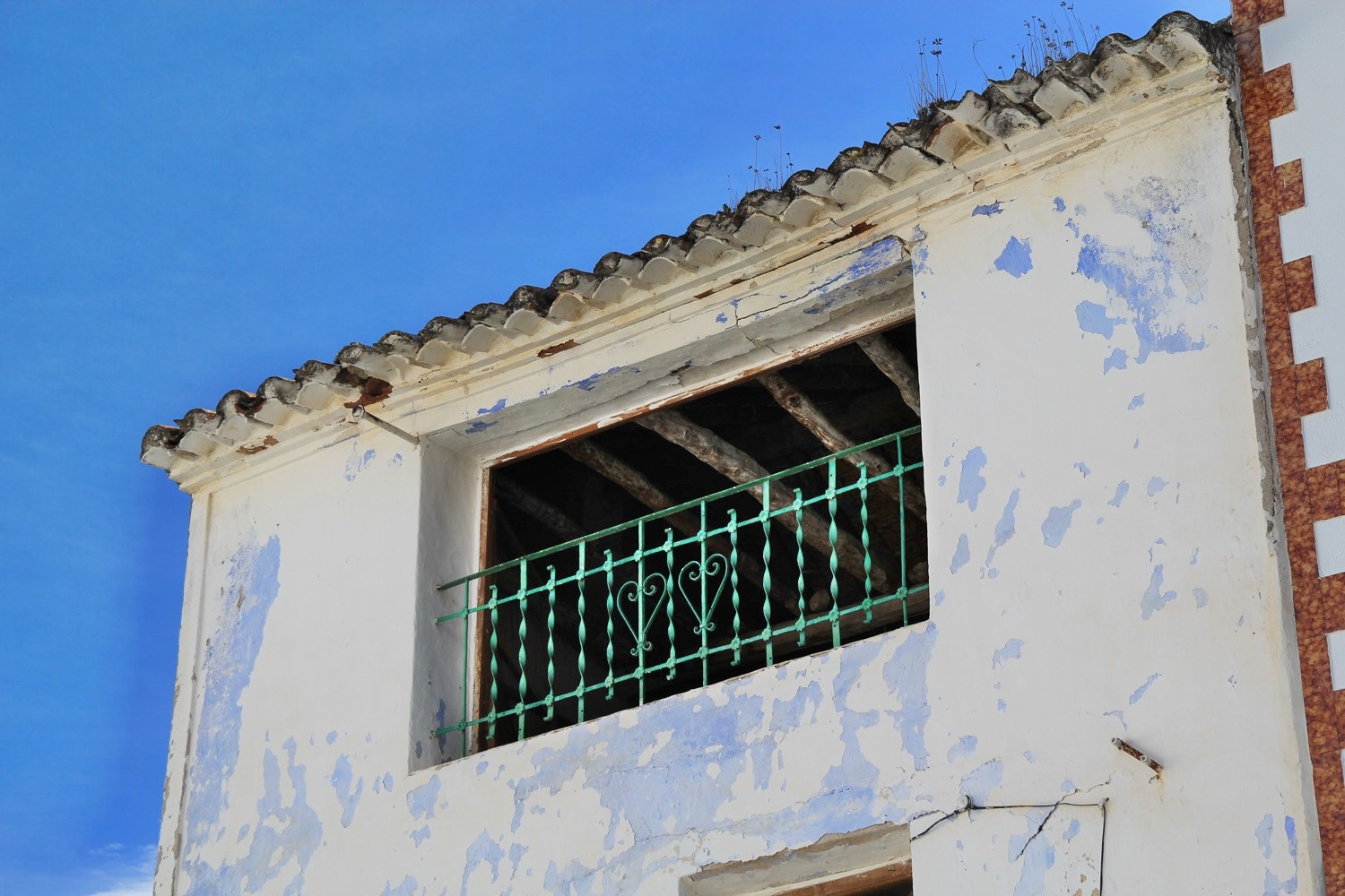
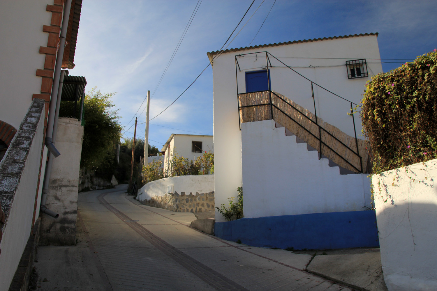
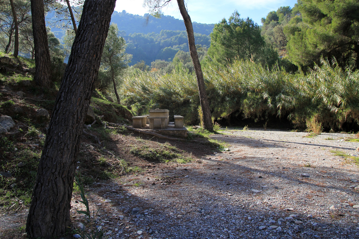
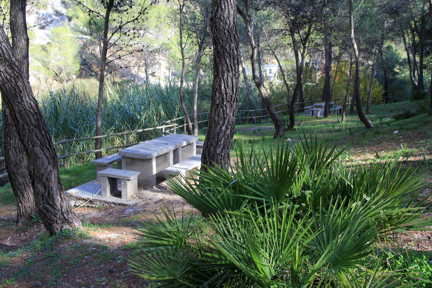
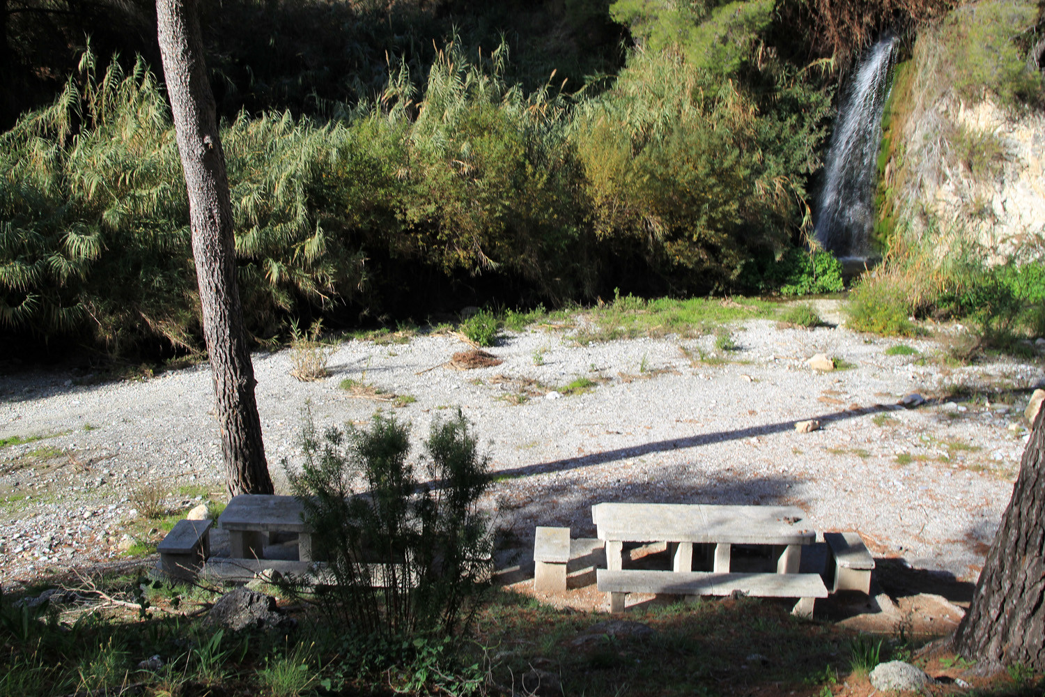
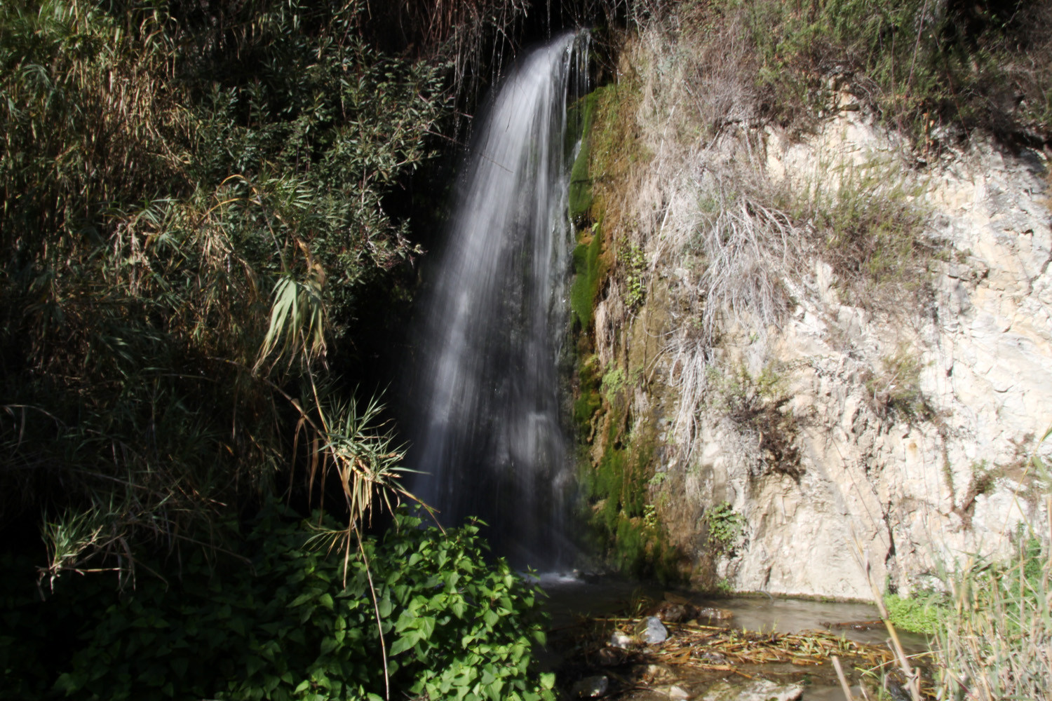
The village is located 457 meters above sea level and has 257 inhabitants (2013). This village is part of the municipality Los Guájares. On the way to the village you cannot miss the beautiful waterfall that is located next to the road. At the recreation area, which is situated just before the village, is another small waterfall. Like the other two Guájares it is a very authentic village which is situated in a very beautiful valley. The Valley of the Guájares is privileged for hiking because of the variety of its landscapes.

Points of Interest in Guájar Alto
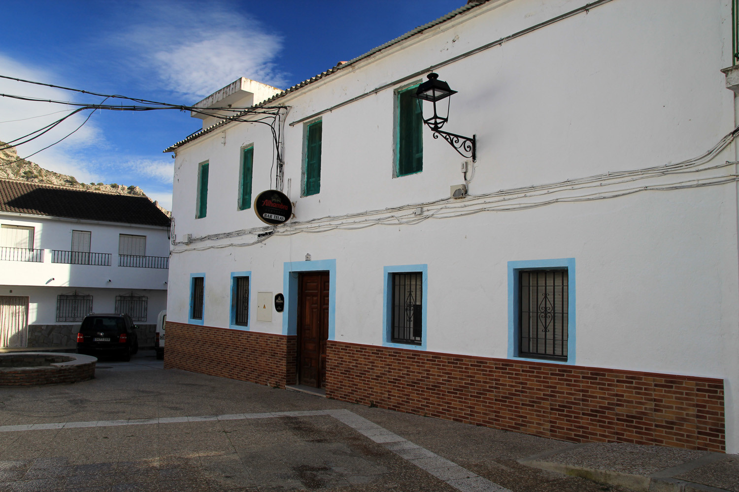
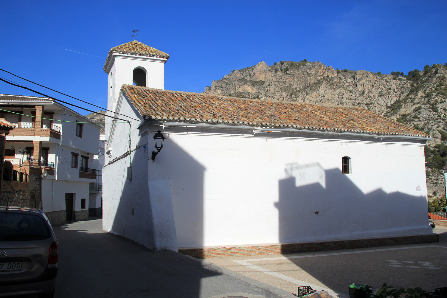
- Church; "Iglesia de la Encarnación";
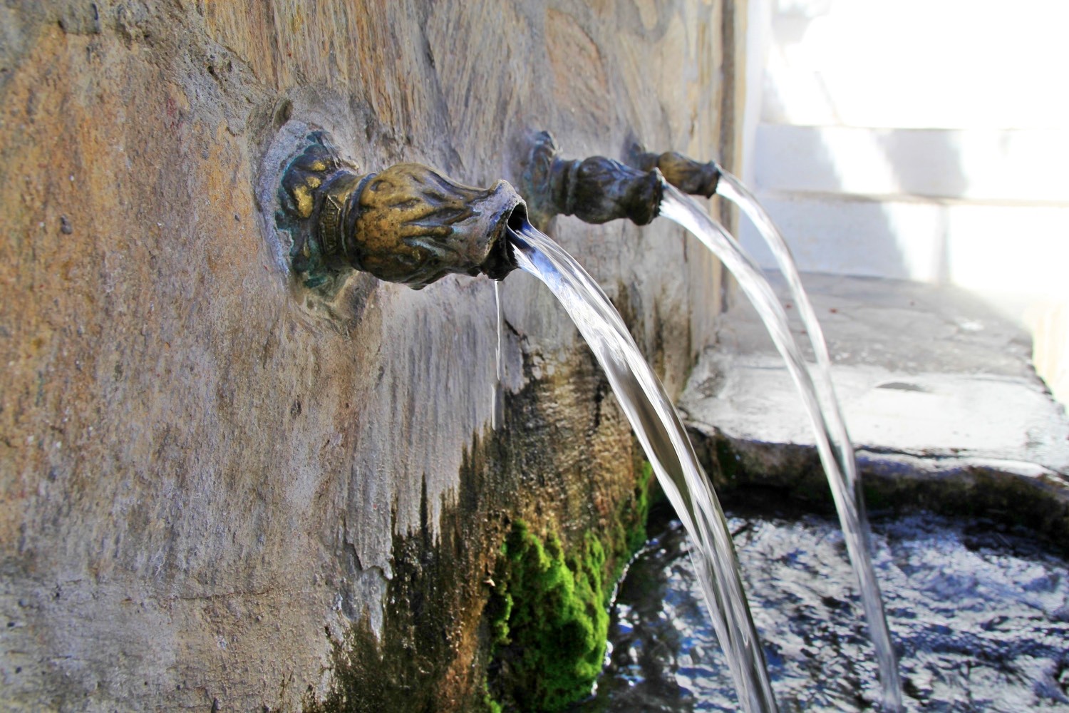
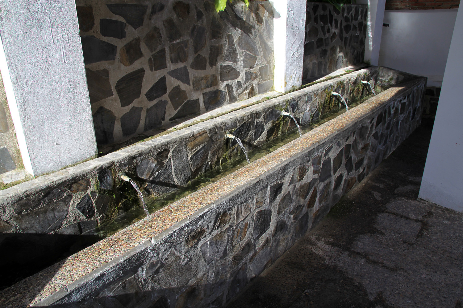
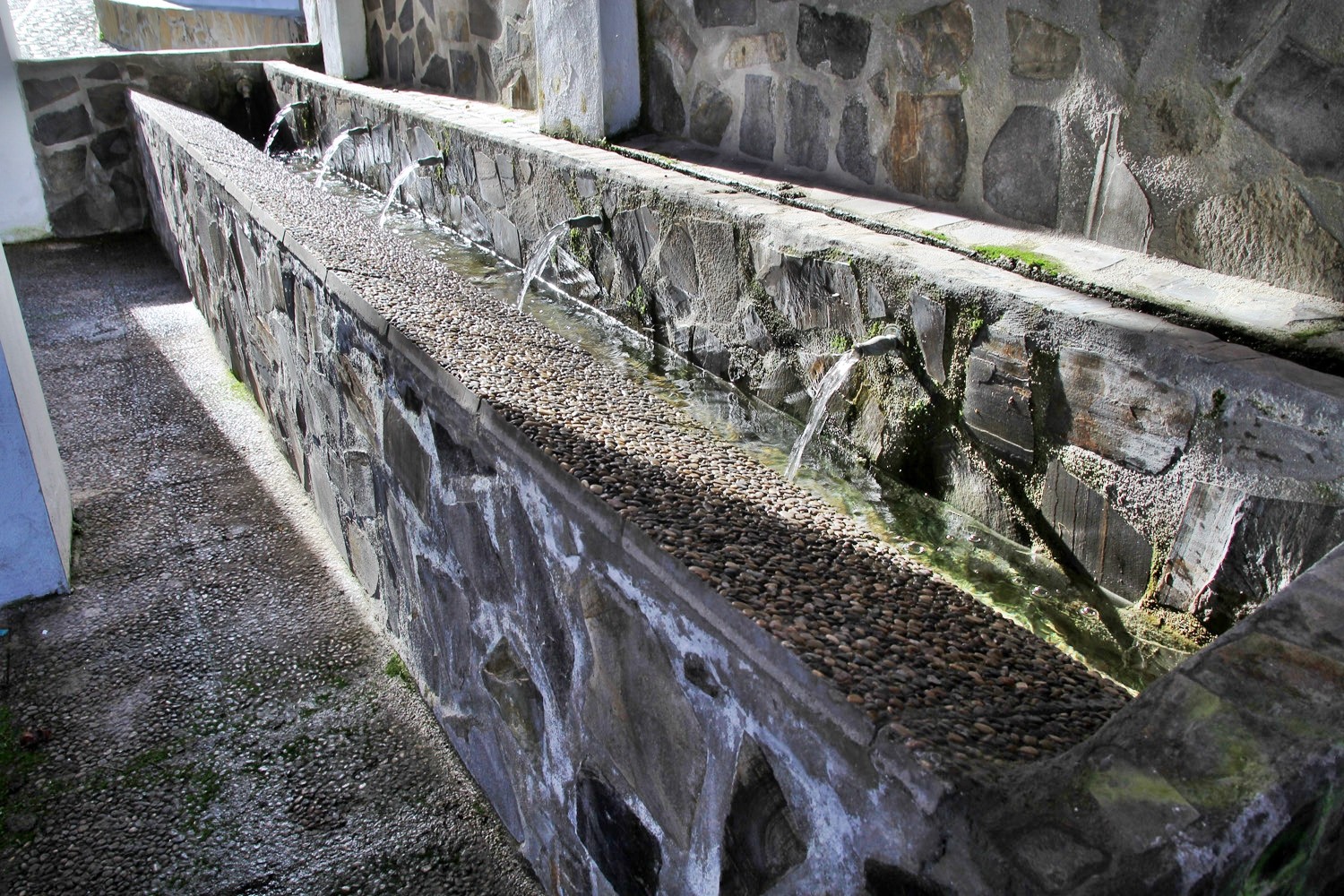
- Washing sinks;
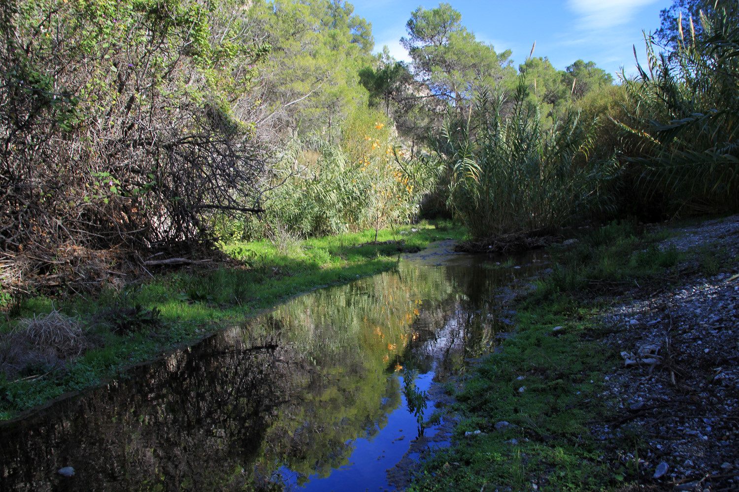
- River Toba;
- Waterfall La Toba;
- Recreation area with waterfall;
- Ancient irrigation channels "acequias".
Festivities in Guájar Alto
- On the 2nd of February the "Dia de Palmitos" is celebrated with having a picnic in the country side;
- At the end of April / beginning of May the cultural week is held with a lot of cultural activities;
- The fiestas Patronales de Guájar Alto (Virgen de La Aurora). are celebrated from the 14th until the 16th of August.
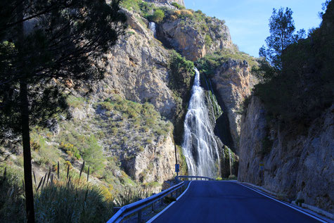
Photo Gallery of Guájar Alto


Basic Information Guájar Alto
Guájar Alto (36°51′12″N 3°37′30″O)
Altitude: 457 meters
Population: 257 (2013)
Distances:
Distance to Granada: 71 km
Distance to the beach: 25 km (Motril)
Distance to Airport Malaga: 119 km
Distance to Airport Granada: 83 km
Touristic level: low - medium - high
Authentic level: low - medium high
Facilities:
- Supermarkets: yes
- Banks: yes
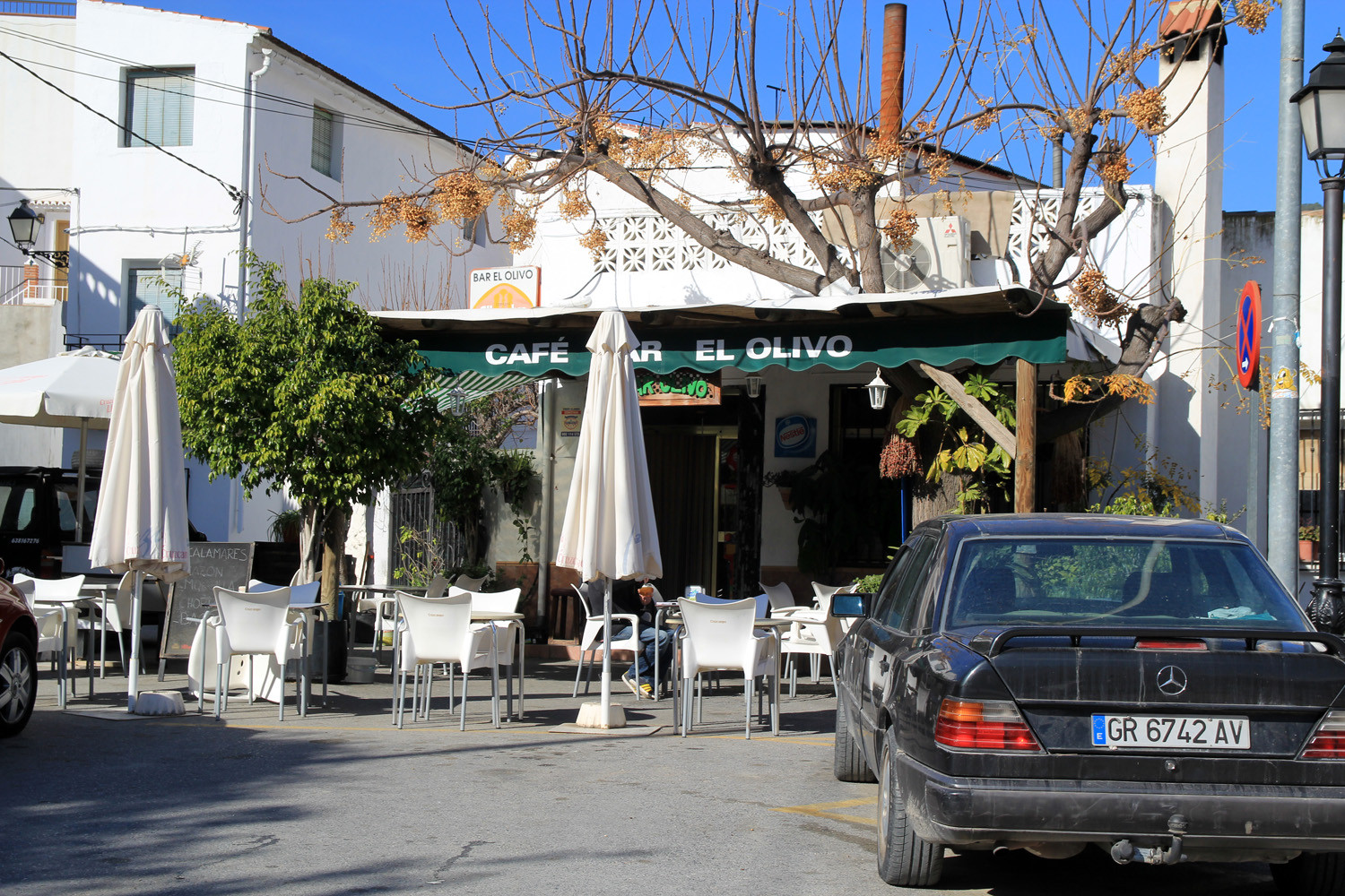
- Restaurants: yes
- Bars: yes