
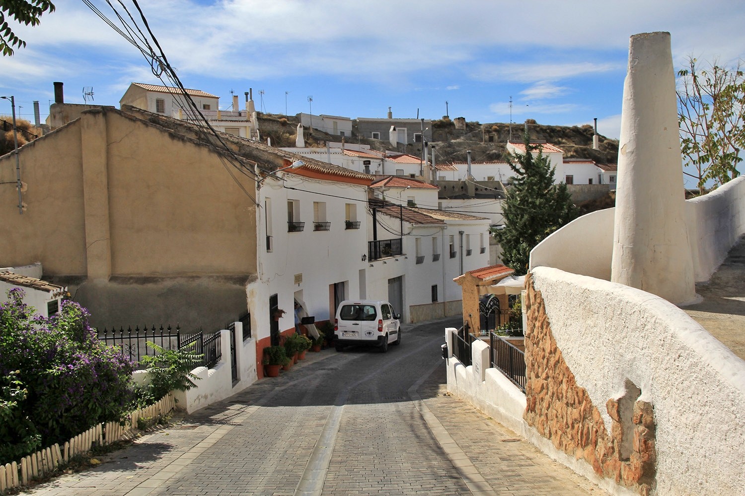
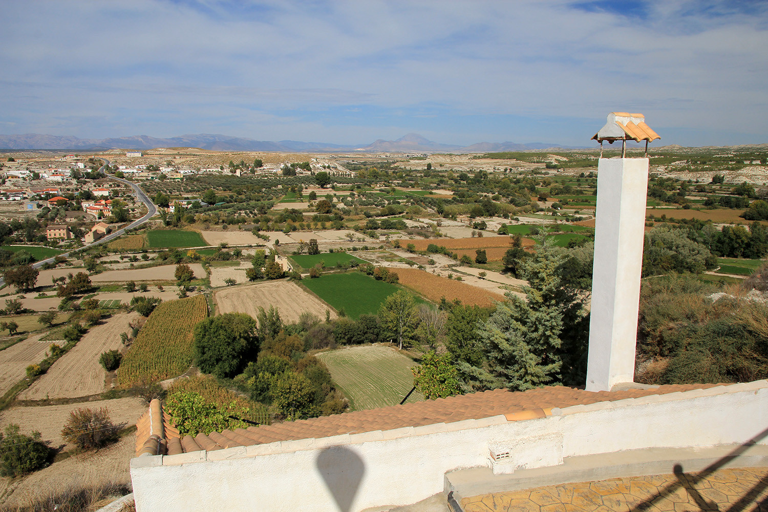
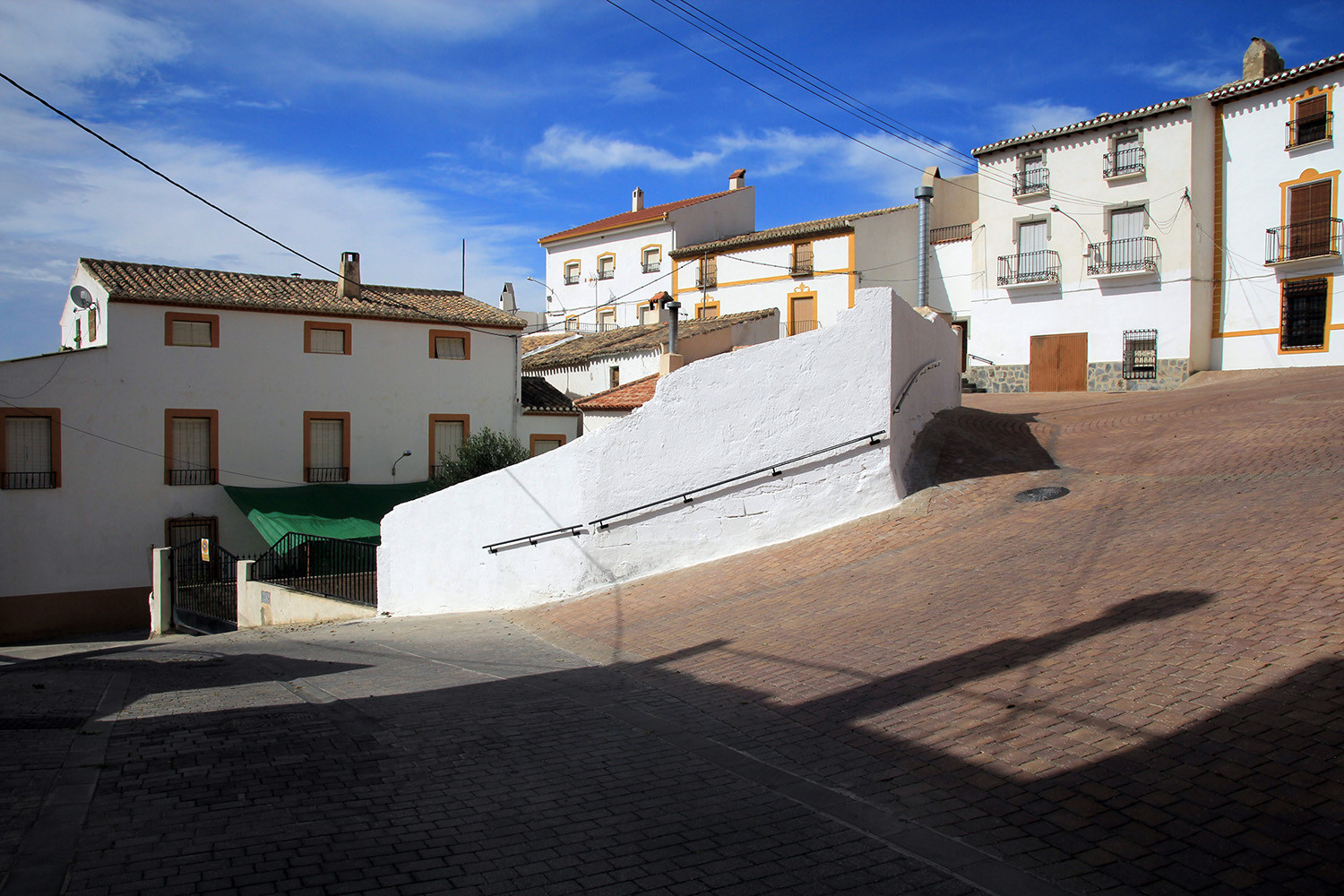
The village is located at 723 meters above sea level and has 2414 inhabitants (2014). The layout of the town is given by a series of ravines on which the different neighborhoods are build. It preserves an important historical heritage represented by numerous caves, an Almohad tower and the remains of a fortress of the fourteenth century. It is one of the municipalities most densely cave inhabited in the region.
Points of Interest Benamaurel
- Casa del Tío Tinajas (cave located next to the fortress that there was in Benamaurel in the XIV century);
- Columbario Romano (columbarium of the later Roman period);
- Church: "Iglesia de la Virgen de la Asunción" (church was built in 1520 over an old mosque);
- Las Hafas ( rests of a fortress of the XIV century formed by caves inhabited during the Almohad period);
- Torre de Castril (tower of Almohad period).

Festivities in Benamaurel
- Festivities of the Moorish and Christians: declared as cultural interest is celebrated in the last weekend of April;
- the festivities of the San León Magno is celebrated in the weekend closest to the 11th of April.
Photo Gallery of Benamaurel


Basic Information Benamaurel
Benamaurel (37°36′30″N 2°41′50″O)
Altitude: 723 meters
Population: 2414 inhabitants (2014)
Distances:
Distance to Granada: 111 km
Distance to the beach: 121 km (Aquilas)
Distance to Airport Malaga: 244 km
Distance to Airport Granada: 125 km
Touristic level: low - medium - high
Authentic level: low - medium - high
Facilities:
- Supermarkets: yes
- Banks: yes
- Restaurants: yes
- Bars: yes