
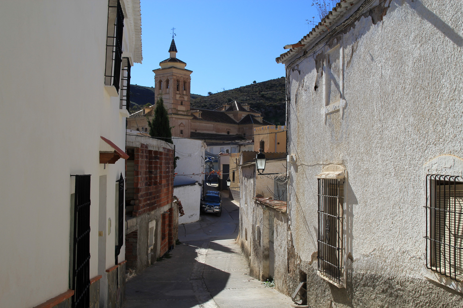
The village is situated at 684 meters above sea level and has 284 inhabitants. The town is staggered with white houses, flowered and has narrow winding streets. Probably the village has been founded in Roman times. They found also evidence that this district was inhabitated in 9000 - 7000 a.C. Remains have been found in a place called "El Marchal" remains of burials with many utensils and appliances, such as: handmade pottery clay-date tips and stone axes. Turón is situated in the lower part of the Alpujarra, in the mountains of the Contraviesa.
Festivities in Turón
- From the 24th until the 26th of April the patron San Marcos is celebrated which is popular in the Alpujarra;
- In the the third weekend of August also San Marcos is celebrated, The most important day is Saturday, on which the pilgrimage to the chapel takes place and later there is a popular meal for all residents and visitors.

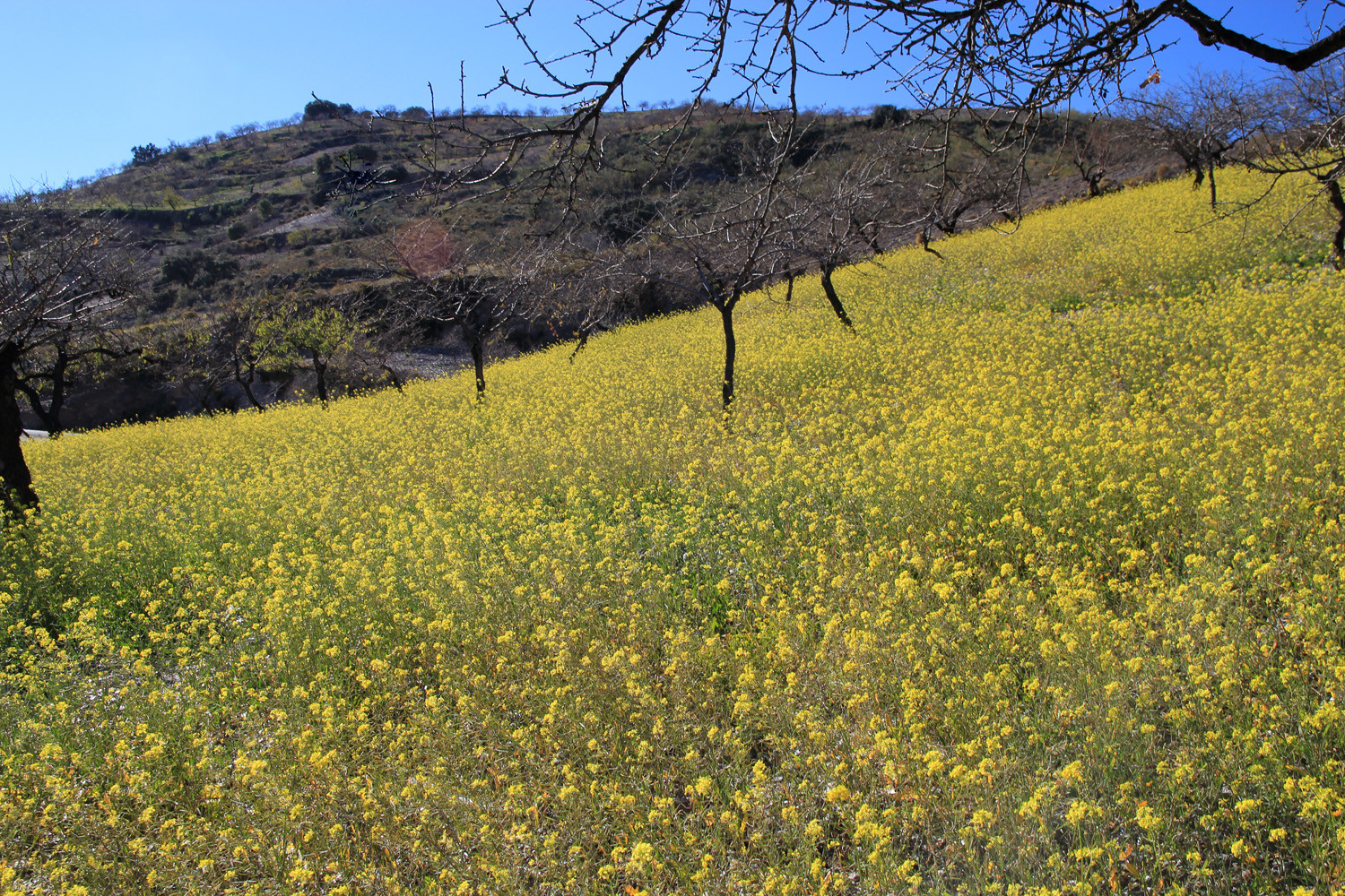
Points of Interest in Turón
- Iglesia de la Encarnación (1711)
- Pozo Espinos Valle de Turón: an old mining which has been changed in an open air museum.
- Flowerfields (in January)
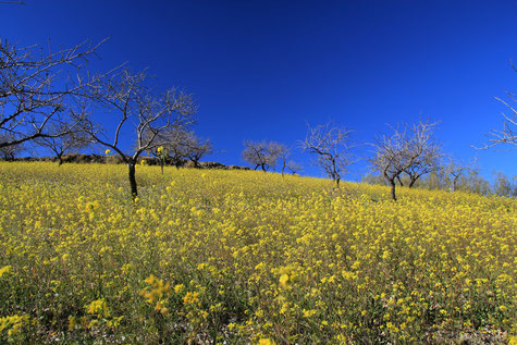
Photo Gallery of Turón


Basic Information Turón
Turón (36°51′49″N 3°03′27″O)
Altitude: 684 meters
Population: 284 inhabitants (2013)
Distances:
Distance to Granada: 123 km
Distance to the beach: 36 km (Adra)
Distance to the Airport of Malaga: 183 km
Distance to the Airport of Granada: 136 km
Touristic level: low - medium - high
Authentic level: low - medium - high
Facilities:
- Supermarkets: yes
- Banks: no
- Restaurants: no
- Bars: yes