
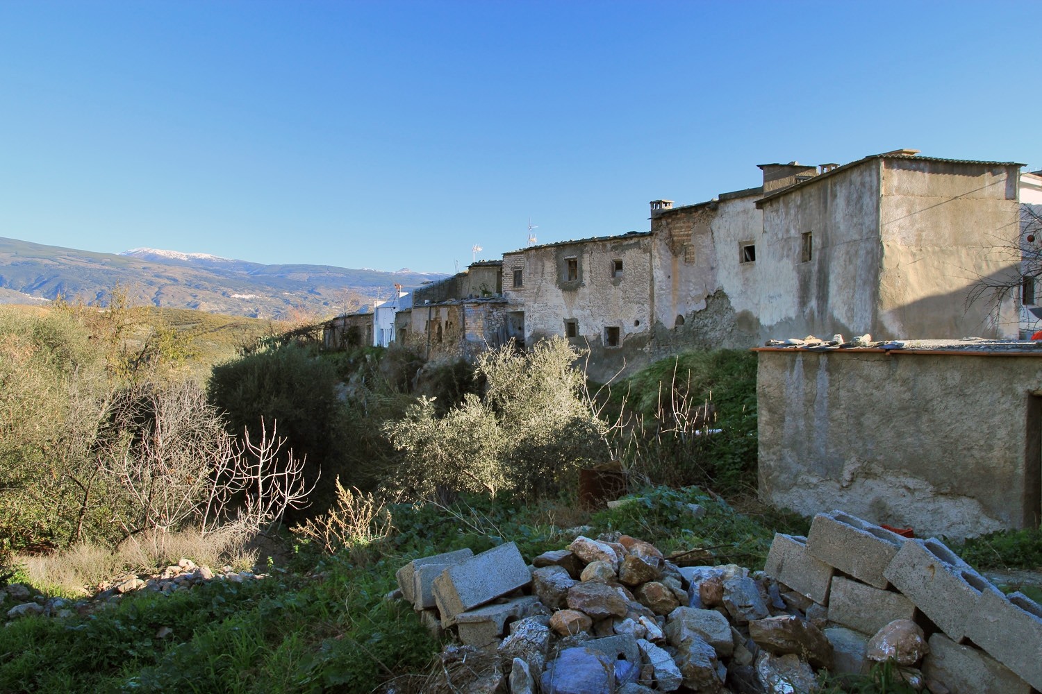
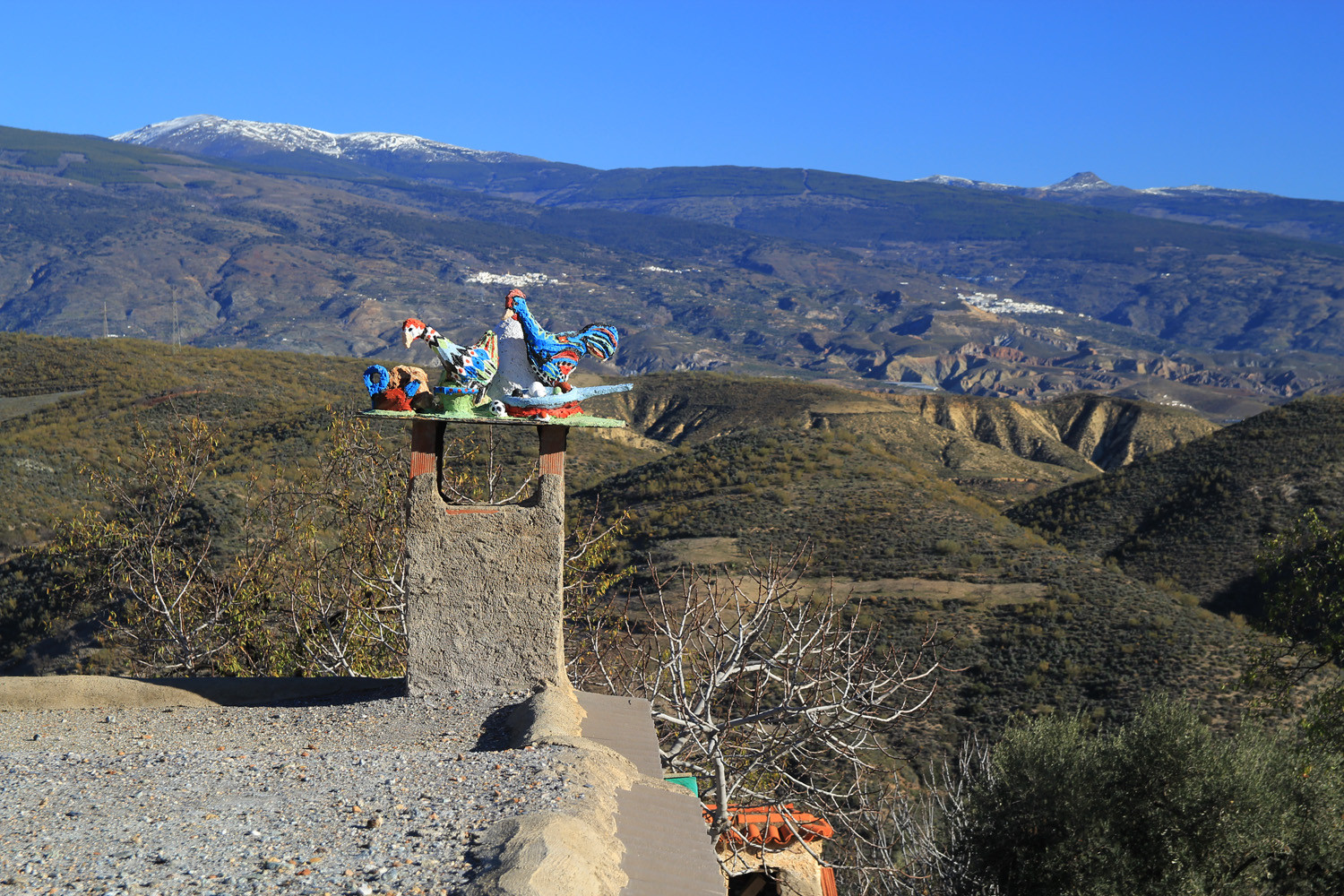
The village is located at 721 meters above sea level and has 164 inhabitants (2013). Jorairátar belongs to the municipality of Ugíjar which is situated 10 km south. The village is located in the dry lands of the eastern end of the Contraviesa, on the right bank of the ravine Water. If you look north you have splendid views across the Hoya de Ugíjar, Sierra Nevada and Sierra de Gádor.
Points of Interest in Jorairátar
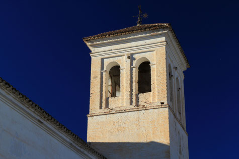
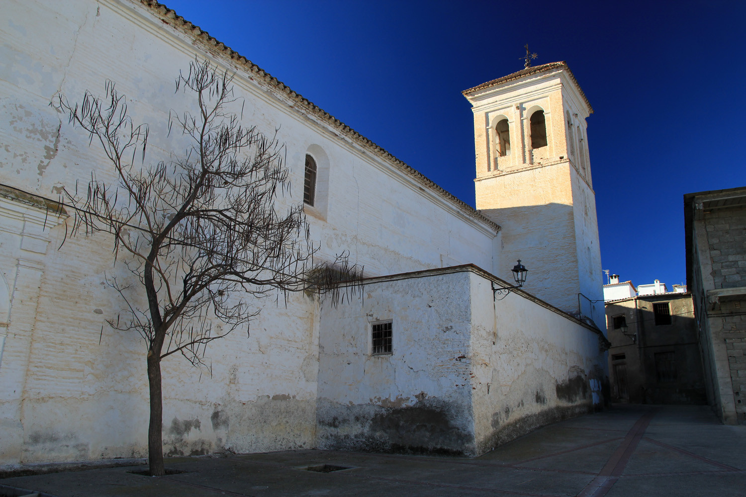
- Church; Iglesia de Jorairátar (1534);
- Washing sinks and spring;
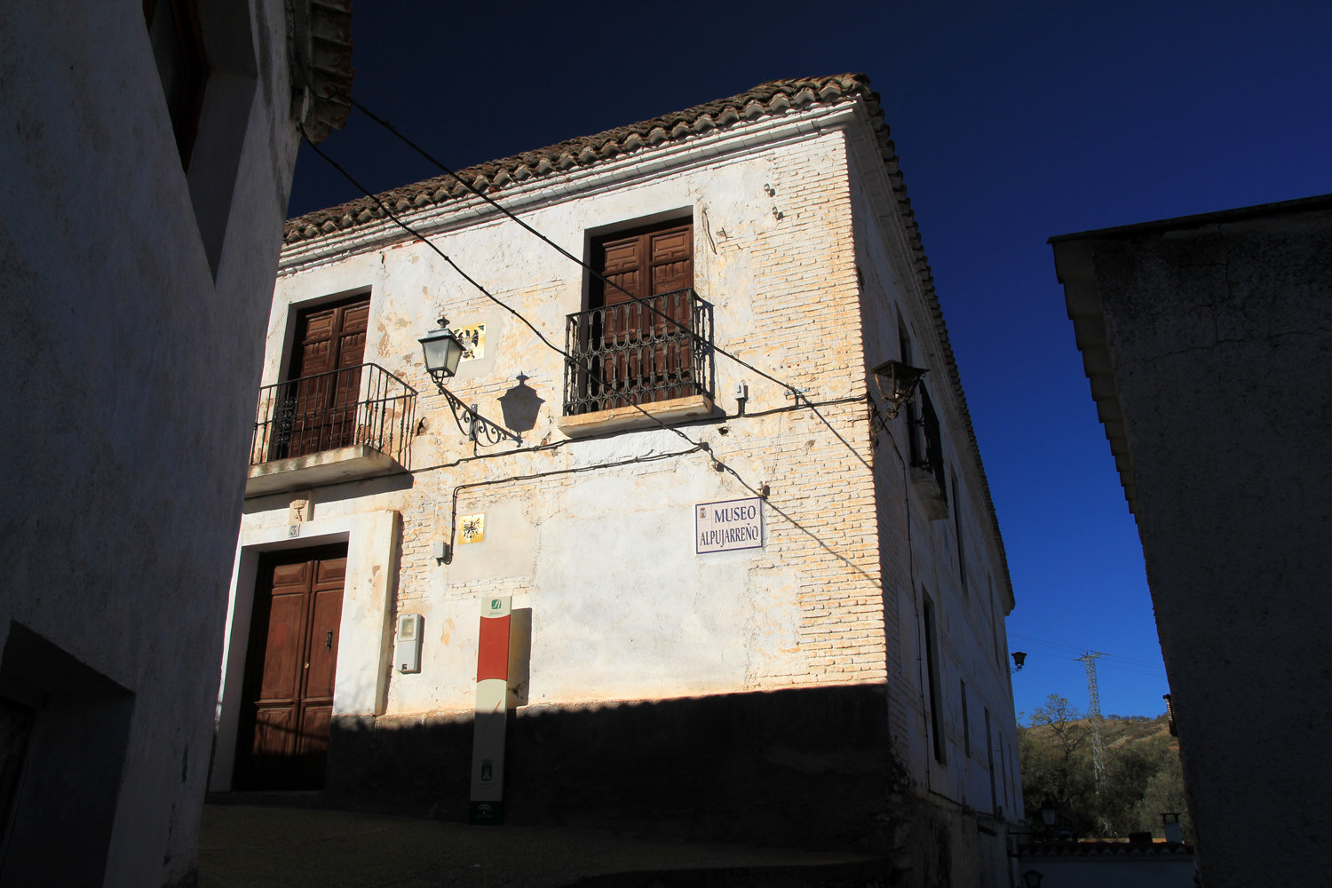
- Historic Museum Alpujarra;
- Chapel: Ermita de las Ánimas;
- Chapel: Ermita de San Gabriel;
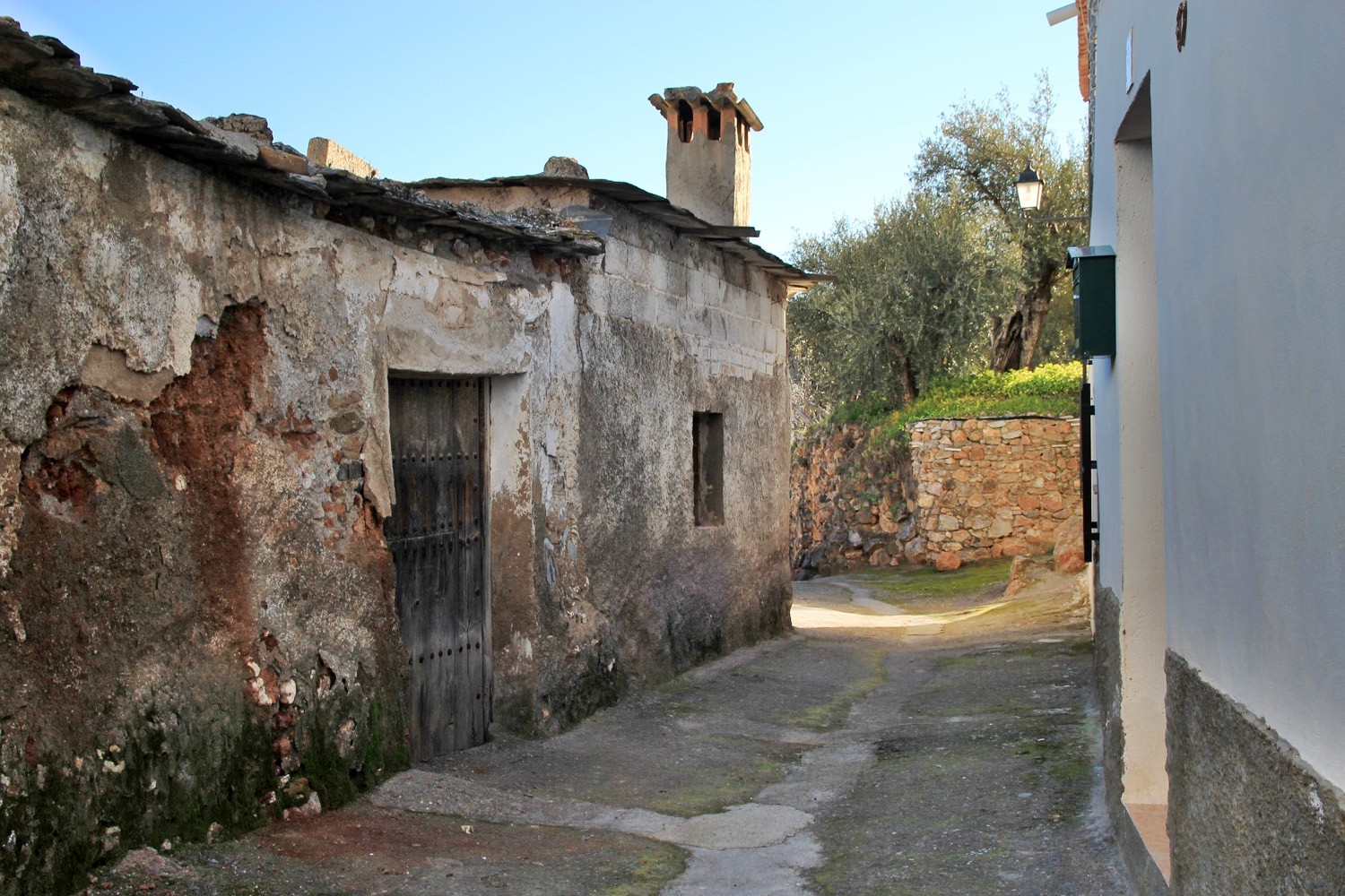
- Historic building (17th century): Casa de la Puerta Atrás.
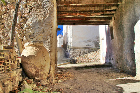
- Tinao
Festivities in Jorairátar
- The 3rd weekend of August the festivities in honor of San Gabriel ( festival of the Moors and Christians) is celebrated.
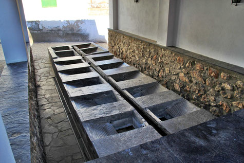
Photo Gallery of Jorairátar


Basic Information Jorairátar
Jorairátar (36°55′34″N 3°06′28″O)
Altitude: 721 meters
Population: 164 (2013)
Distances:
Distance to Granada: 117 km
Distance to the beach: 65 km (La Rabita)
Distance to the Airport of Malaga: 179 km
Distance to the Airport of Granada: 140 km
Touristic level: low - medium - high
Authentic level: low -medium - high
Facilities:
- Supermarkets: no
- Banks: yes
- Restaurants: no
- Bars: yes