
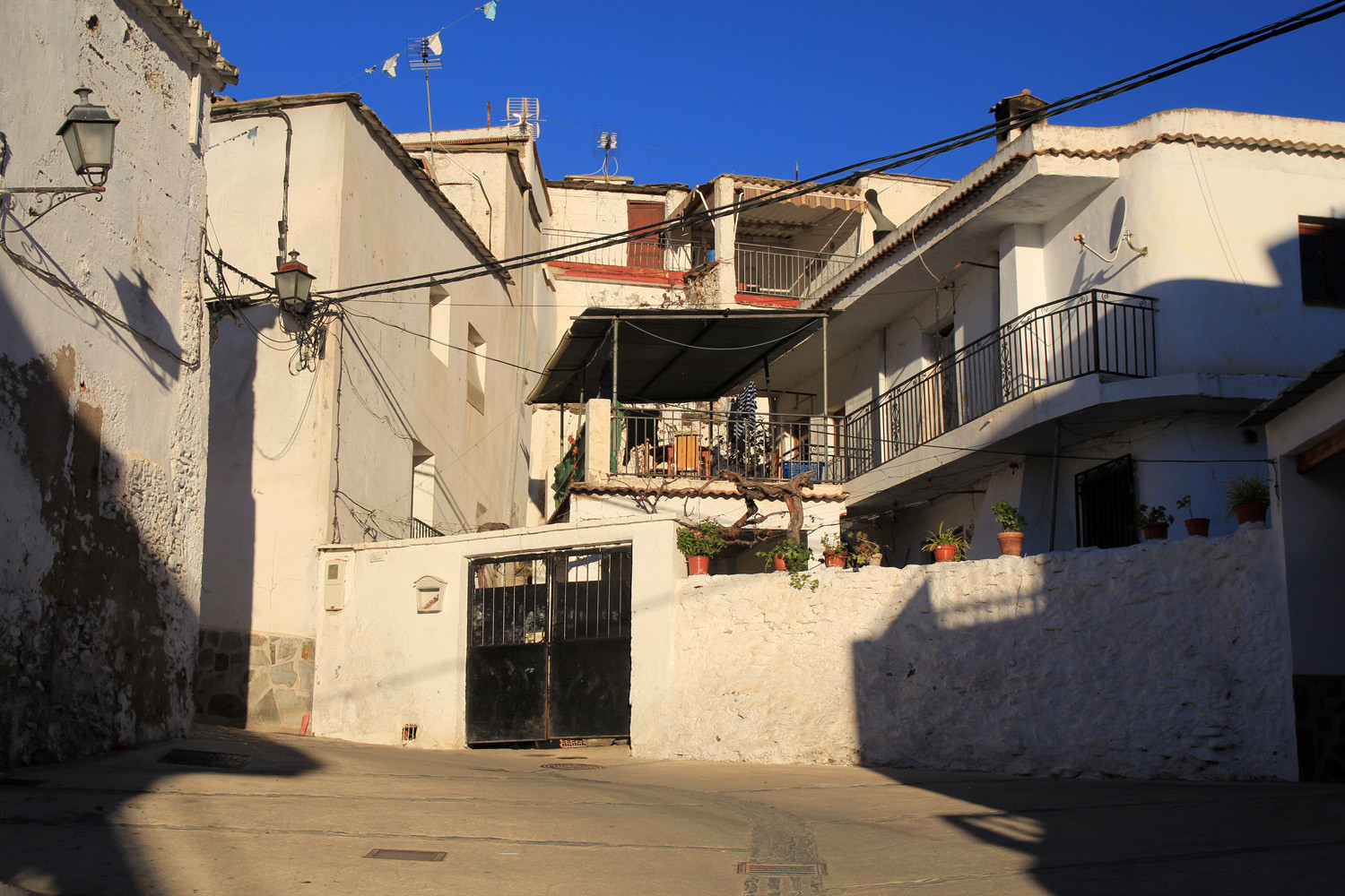
The village is located at 559 meters above sea level and has 193 inhabitants (2013). Cherín comes from the name of a Muslim king The iron bridge at the entrance was built in the nineteenth century and the church is built over a mosque. In the upper town was a castle situated in earlier times. Cherín is part of the municipality Ugíjar.
Points of Interest in Cherín
- Iron Bridge: Puente de hierro;
- Washing sinks;
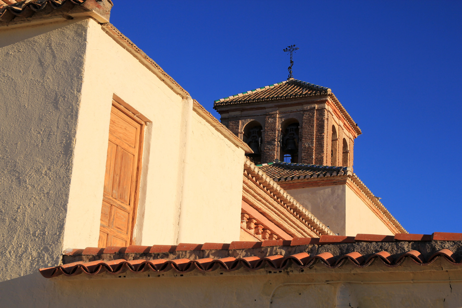
- Church: la iglesia de San Bartolomé Apóstol.


Festivities in Cherín
- San Blas is celebrated on the 3rd of February;
- San Marcos is celebrtated on the 25th of April.
- The most important festival of the town is the one of the Moors and Christians, it is held in August in honor of San Bartolomé;
Photo Gallery of Cherín


Basic Information Cherín
Cherín (36°58′00″N 3°00′44″O)
Altitude: 559 meters
Population: 193 (2013)
Distances:
Distance to Granada: 111 km
Distance to the beach: 37 km (Adra)
Distance to the Airport of Malaga: 176 km
Distance to the Airport of Granada: 127 km
Touristic level: low - medium - high
Authentic level: low -medium - high
Facilities:
- Supermarkets: no
- Banks: no
- Restaurants: no
- Bars: no